Plizio Visual Lab
Salair Range
Weather…
Water temperature…
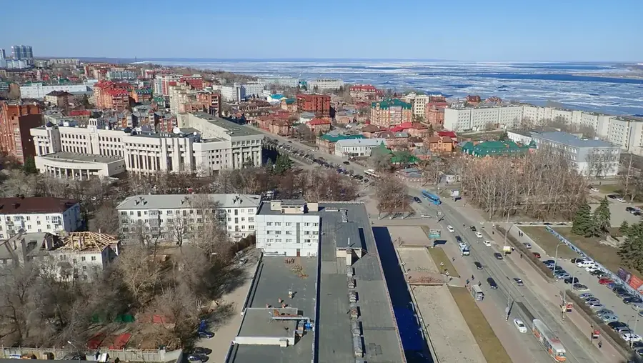
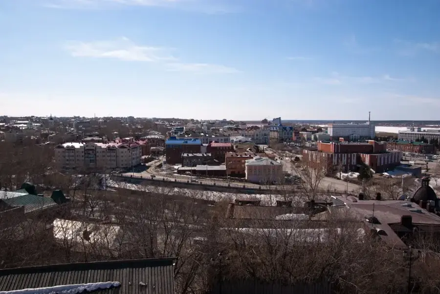
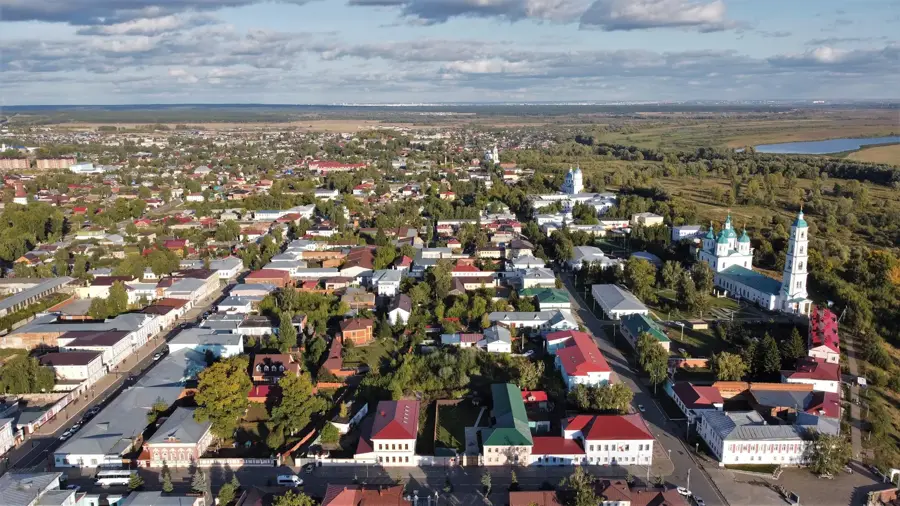
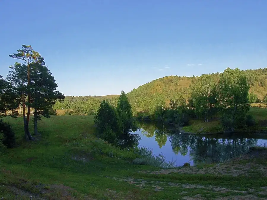
The Salair Ridge is a heavily eroded mountain range in Southwestern Siberia, spanning the Kemerovo, Novosibirsk, and Altai regions. It forms the western boundary of the Kuznetsk Basin (Kuzbass) and runs roughly parallel to the Kuznetsk Alatau. Geologically, the ridge is an ancient structure composed of Paleozoic limestones, sandstones, and volcanic rocks that have been weathered into a plateau-like landscape. The highest point is Mount Kivda, reaching an elevation of only 621 meters, giving the range a hilly rather than mountainous appearance. Despite its low altitude, the Salair Ridge is economically vital due to its rich deposits of complex ores containing silver, lead, and zinc, as well as significant limestone and gold reserves. The terrain is covered by a mix of dark coniferous taiga and birch forests, supporting a diverse ecosystem. It has been a major center for Russian metallurgy and mining since the early 18th century.
- Location: Russia
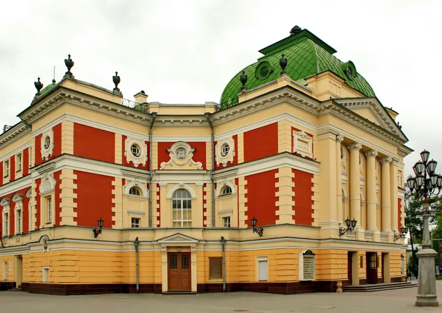
- Top sights: Razvaliny Gorskinskoi GES (pervaia v Sibiri) · Drevlepravoslavnaia tserkov'
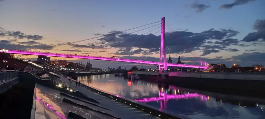
- Nearby: Manzherok (38 km)
Best time to visit & climate
The most pleasant time to visit is Jun–Aug.
| Jan | Feb | Mar | Apr | May | Jun | Jul | Aug | Sep | Oct | Nov | Dec | |
|---|---|---|---|---|---|---|---|---|---|---|---|---|
| Avg °C | -19 | -16 | -8 | 2 | 10 | 17 | 19 | 17 | 10 | 2 | -9 | -17 |
| Rain mm | 28 | 25 | 31 | 34 | 55 | 63 | 71 | 50 | 44 | 51 | 51 | 40 |
📋 Practical info
Geography
Facts
- The highest elevation in the Salair Ridge is Mount Kivda at 621 meters.
- The range extends for approximately 300 kilometers in a NW-SE direction.
- Siberia's first silver ores were mined here starting in 1781.
- The ridge serves as a watershed between the Ob and Tom river basins.
- It is composed mainly of intensely folded Cambrian and Silurian rocks.
- The area is a significant producer of cement grade limestone in Russia.
Explore nearby
Notable places around
Route planner — Car & Motorhome
Where do you start? We build the route here, with stops and country notes along the way.
© OpenStreetMap contributors · OpenRouteService
Sights in the town Salair Range (2)
Sights nearby
Frequently asked questions
What characterizes the Salair Mountains?
Family-friendly?
Best time to visit?
Are there restaurants?
What is the best activity?
Salair Range: where is it located?
Salair Range: what is there to see?
Salair Range: when is the best time to visit?
Salair Range: why is it worth visiting?

Nearby cities