Plizio Visual Lab
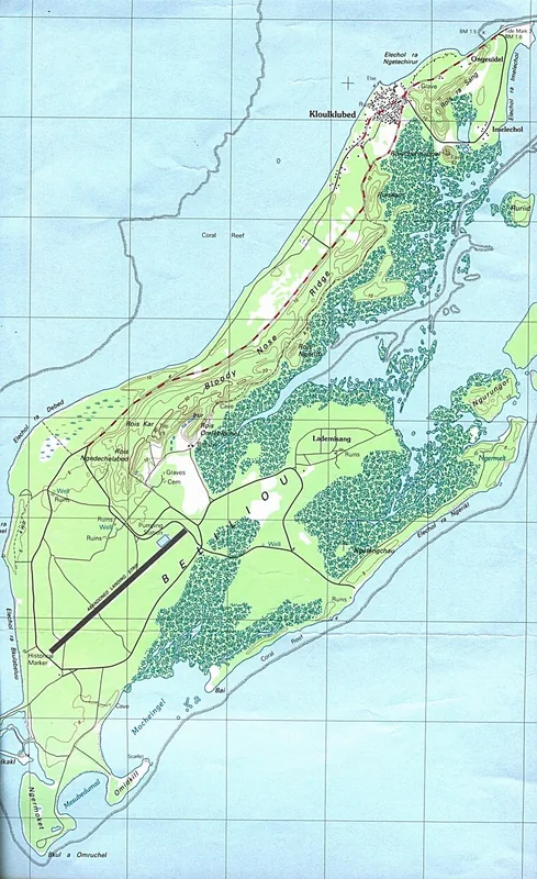
Angaur Island

Weather…
Water temperature…
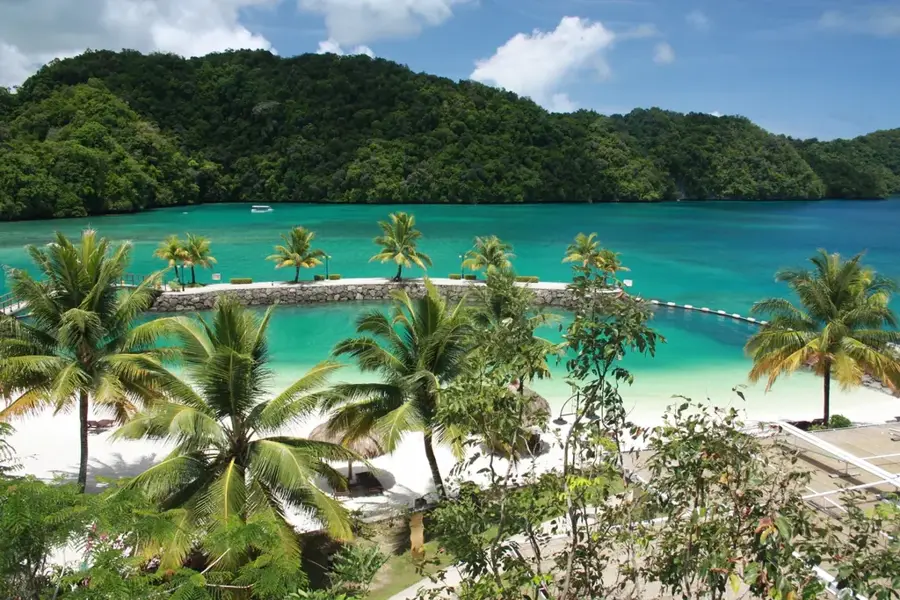
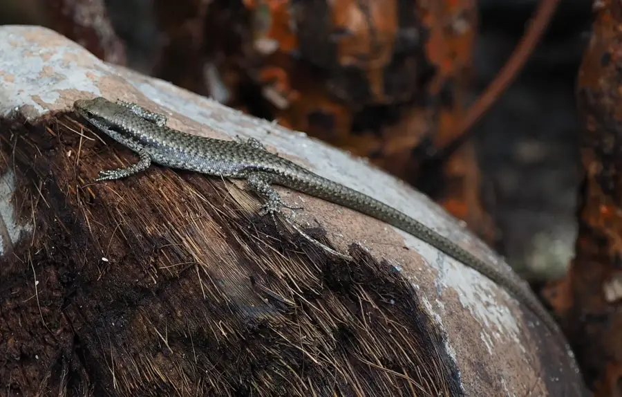
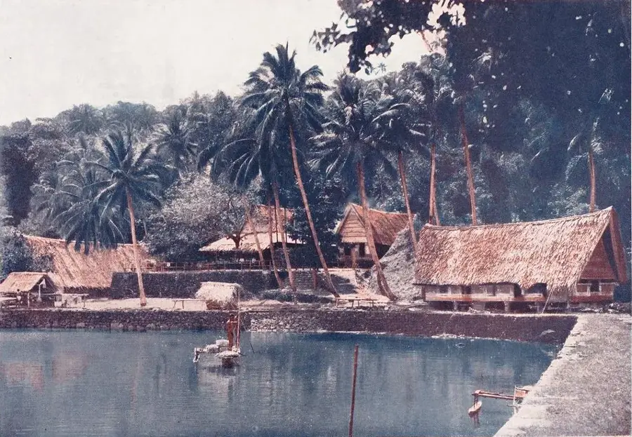
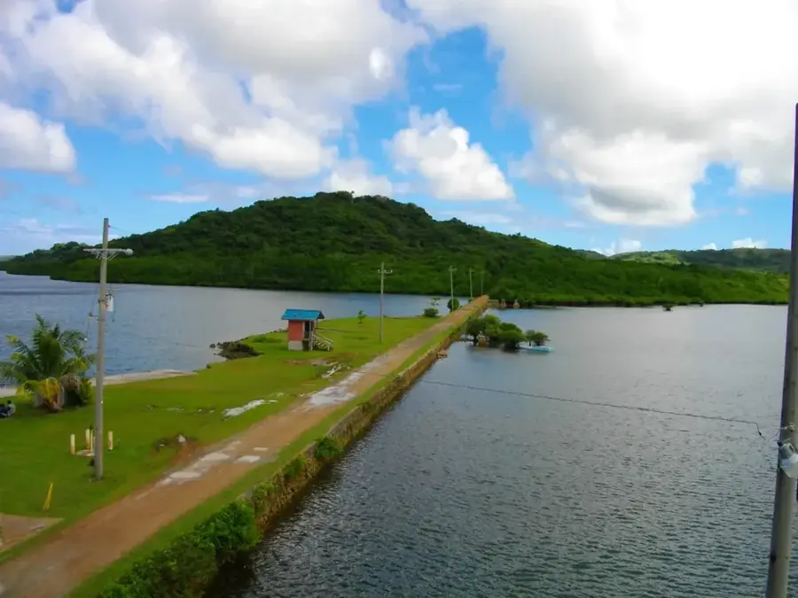
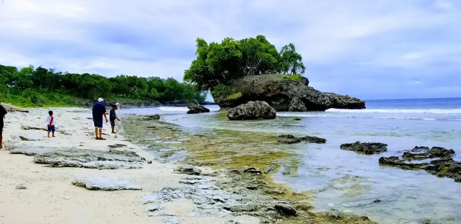
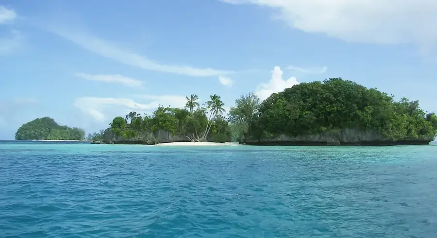
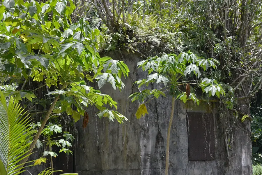
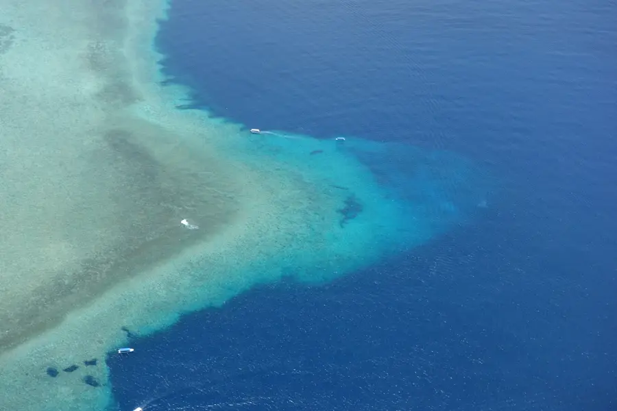
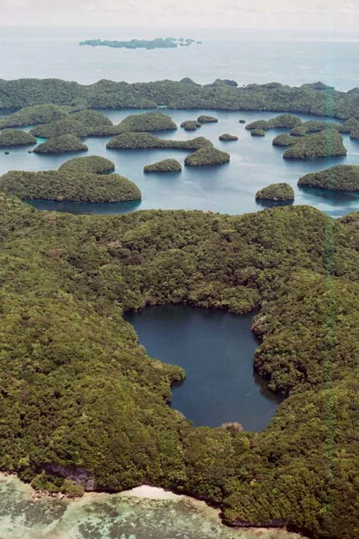
Angaur is the southernmost inhabited island of Palau, standing apart from the rest of the archipelago due to its unique geological structure and ecological history. Unlike its neighbors, Angaur is not protected by a barrier reef, leaving its coral limestone shores exposed to the full force of the Pacific Ocean's swells and powerful currents. The island is most famous for its wild population of macaque monkeys, which are not native to Palau but were likely introduced during the German phosphate mining era in the early 20th century. These monkeys have since flourished in the island's dense forests. Historically, Angaur was a major hub for phosphate extraction, and the landscape is still dotted with the remnants of old mines and industrial machinery from the German and Japanese administrations. Today, the island has a rugged and authentic experience, with secluded beaches and dramatic coastal views. Its relative isolation has allowed for a quiet, traditional way of life to persist, making it a compelling destination for those seeking wildlife and historical exploration away from the typical tourist routes.
- Location: Palau
- Top sights: Elechol Ra Nguruhei · Our Lady of the Rosary Church · Elechol Ra Ngmersau
- Nearby: Kloulklubed (17 km)
Best time to visit & climate
The most pleasant time to visit is Feb–Apr.
| Jan | Feb | Mar | Apr | May | Jun | Jul | Aug | Sep | Oct | Nov | Dec | |
|---|---|---|---|---|---|---|---|---|---|---|---|---|
| Avg °C | 28 | 28 | 28 | 28 | 28 | 28 | 28 | 28 | 28 | 28 | 28 | 28 |
| Rain mm | 207 | 194 | 182 | 159 | 264 | 316 | 343 | 269 | 248 | 203 | 215 | 227 |
📋 Practical info
Geography
Facts
- Phosphate mining activities took place between 1909 and 1955
- Angaur is the only place in Palau where Japanese is an official language
- The island covers a total land area of approximately 8.4 square kilometers
- The island's macaque monkeys were originally introduced from Southeast Asia
- Angaur lacks a protective barrier reef lagoon, exposing it to the open sea
- The island was captured by US forces in 1944 during World War II
Explore nearby
Notable places around
Route planner — Car & Motorhome
Where do you start? We build the route here, with stops and country notes along the way.
© OpenStreetMap contributors · OpenRouteService
Sights in the town Angaur Island (4)
Elechol Ra Uchul A Kerekar
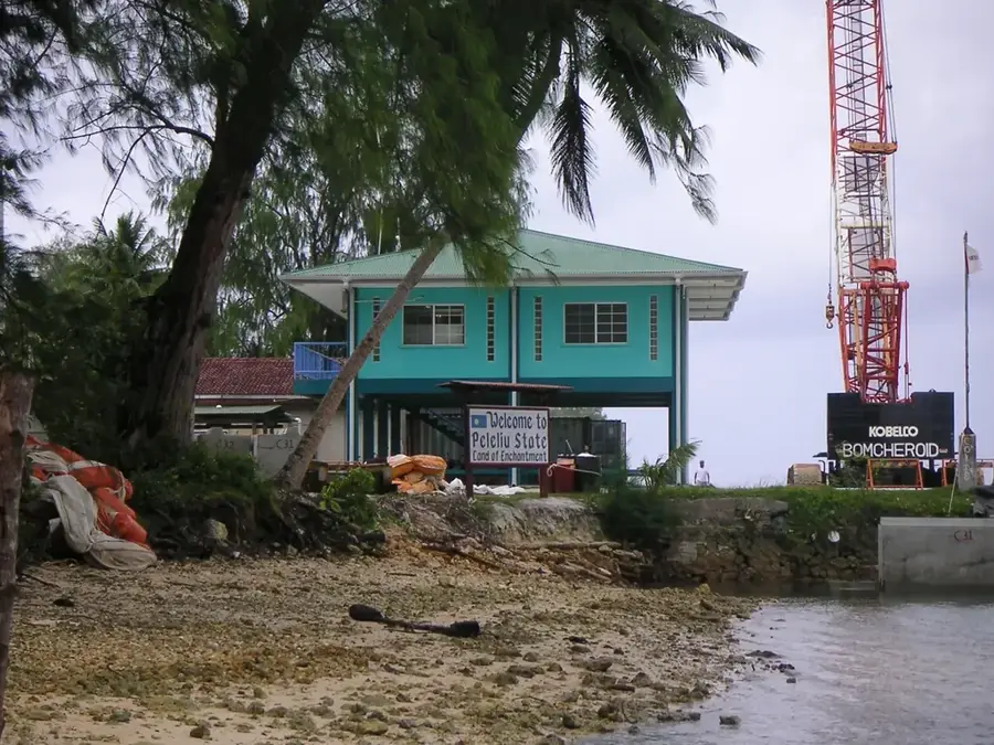
A beach on Angaur Island.
Sights nearby
Frequently asked questions
Are there beaches here?
Why are there monkeys there?
Can you stay overnight on Angaur?
How long is the flight from Koror?
Is the place suitable for surfers?
Angaur Island: where is it located?
Angaur Island: what is there to see?
Angaur Island: when is the best time to visit?
Angaur Island: why is it worth visiting?

Nearby cities

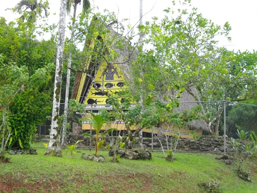
History & landmarks
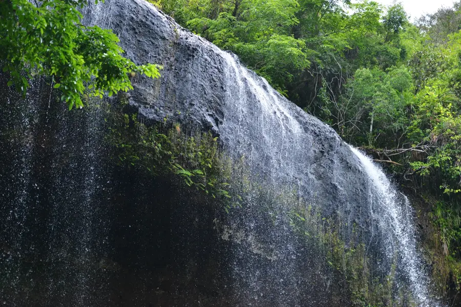
Nature
More places