Plizio Visual Lab
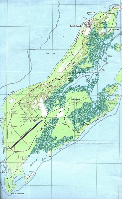
Bloody Nose Ridge
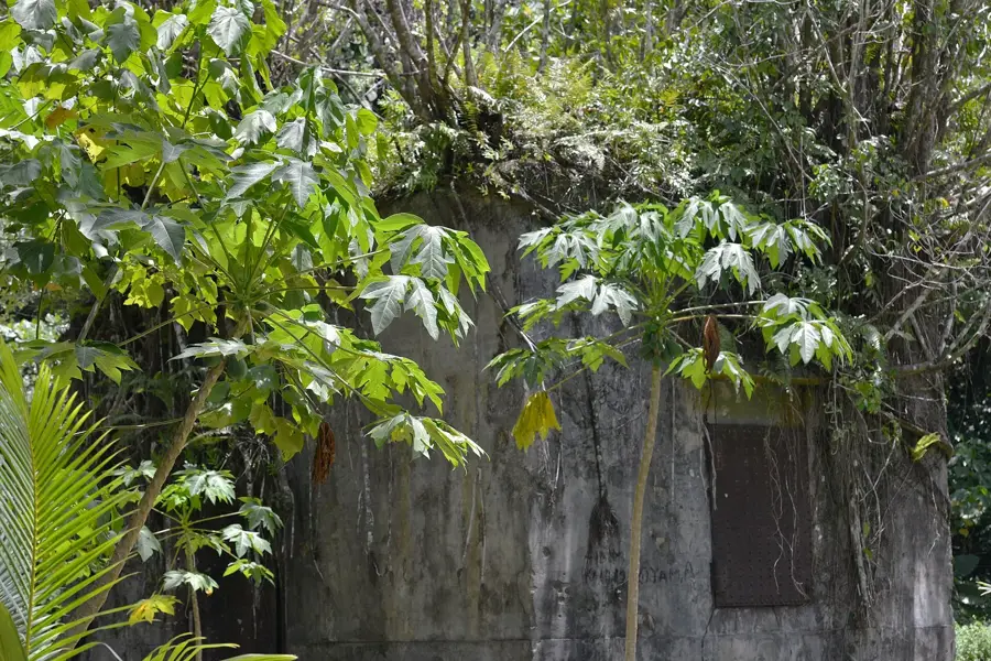
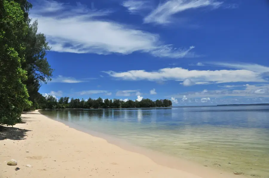
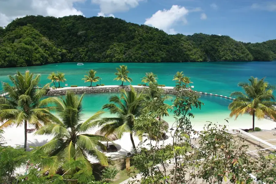
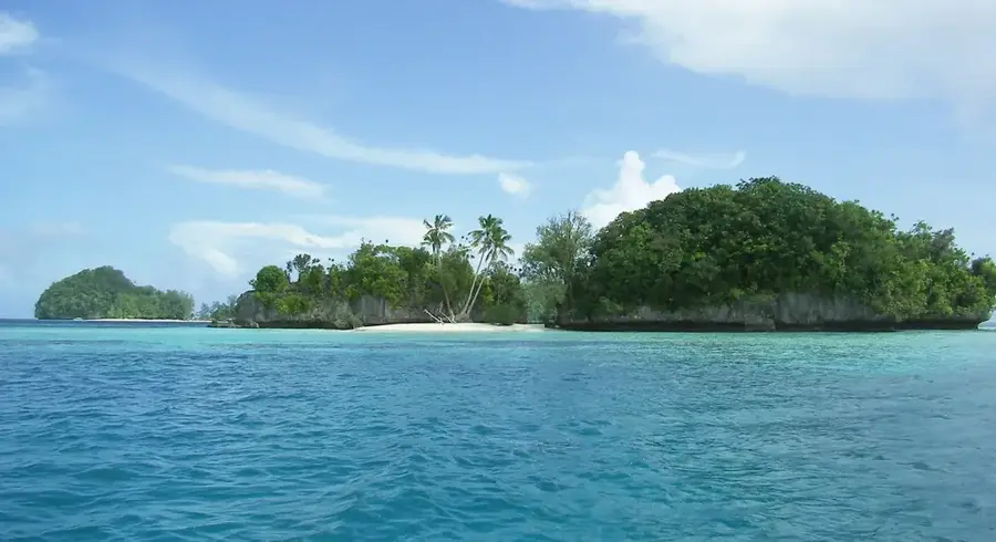
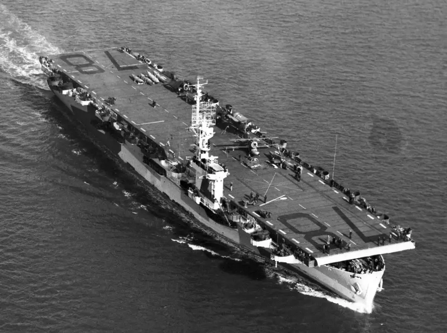
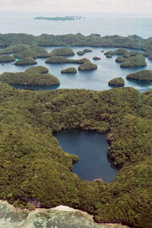
Bloody Nose Ridge, formally known as the Umurbrogol Mountains, is a jagged limestone formation on the island of Peleliu in Palau. It gained its grim nickname during the Battle of Peleliu in late 1944, one of the most intense and costly amphibious campaigns of World War II. The ridge is composed of razor-sharp coral limestone, riddled with hundreds of natural caves and man-made tunnels that the Japanese military utilized to create a formidable defensive network. This treacherous terrain forced American Marines into agonizing house-to-house style fighting through the rocky crevices. Today, the ridge serves as a powerful open-air museum and memorial site, where rusted artillery, discarded equipment, and fortified bunkers remain frozen in time. Climbing the steep paths to the various lookout points provides a somber perspective on the strategic importance of the heights, providing panoramic views of the island's lush recovery and the serene Philippine Sea beyond.
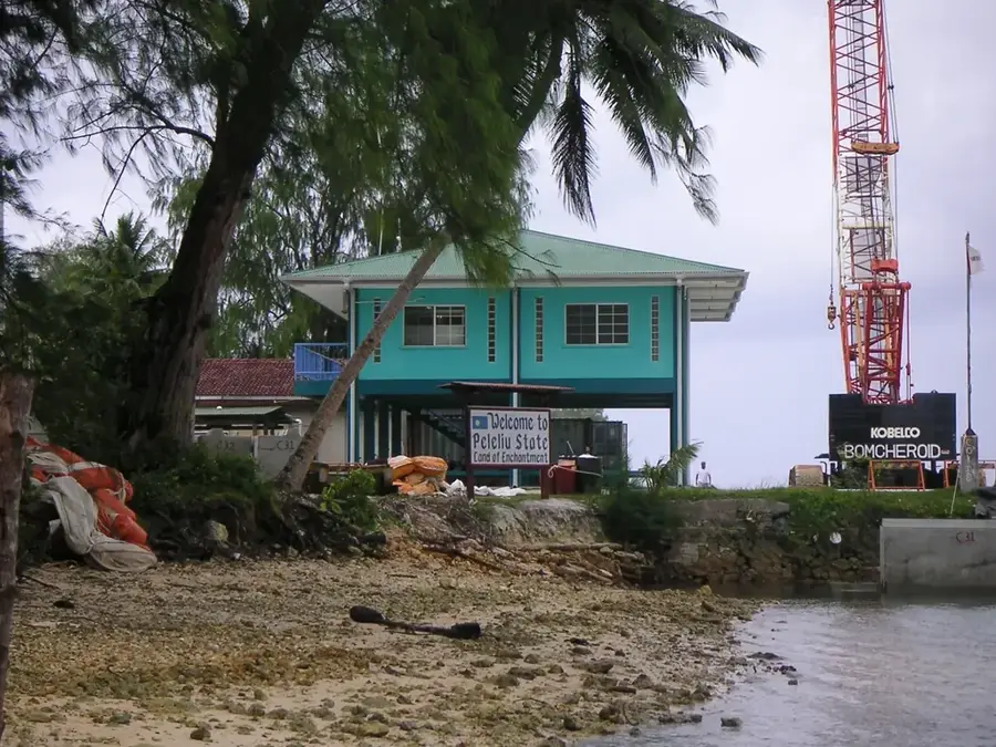
- Location: Palau
- Top sights: Beach Orange Two · Elechol Ra Bkulabeluu · Orange Beach Cemetery
- Nearby: Kloulklubed (5 km)
Best time to visit & climate
The most pleasant time to visit is Feb–Apr.
| Jan | Feb | Mar | Apr | May | Jun | Jul | Aug | Sep | Oct | Nov | Dec | |
|---|---|---|---|---|---|---|---|---|---|---|---|---|
| Avg °C | 28 | 28 | 28 | 28 | 28 | 28 | 28 | 28 | 28 | 28 | 28 | 28 |
| Rain mm | 207 | 194 | 182 | 159 | 264 | 316 | 343 | 269 | 248 | 203 | 215 | 227 |
📋 Practical info
Geography
Facts
- Battle date: September to November 1944
- Location: Peleliu Island
- Elevation: approx. 75 meters above sea level
- Feature: hundreds of fortified caves
- Monuments: both U.S. and Japanese markers
- War relics: tank wrecks and artillery still present
Explore nearby
Notable places around
Route planner — Car & Motorhome
Where do you start? We build the route here, with stops and country notes along the way.
© OpenStreetMap contributors · OpenRouteService
Sights in the town Bloody Nose Ridge (10)
Beach Orange One
Sandy beach, northern section of the Orange landing zone on Peleliu.
Bomb Shelter
Former Japanese WWII air-raid shelter on Peleliu island.
Japanese Air Traffic Control Tower
Ruins of a Japanese WWII air traffic control tower.
Their Majesties Emperor Akihito & Empress Michiko Rest House 2015🏛 museum
Museum and rest house built in 2015 to commemorate the imperial visit.
Memorial 1st Marine Division
Memorial honoring the 1st US Marine Division that fought on Peleliu.
Peace Message Memorial
Monument bearing peace messages, erected on the Peleliu battlefield.
Sights nearby
Frequently asked questions
Is Bloody Nose Ridge historically significant?
How long does a visit take?
Do I need sturdy shoes?
Are tours available?
Can I take photos there?
Bloody Nose Ridge: where is it located?
Bloody Nose Ridge: what is there to see?
Bloody Nose Ridge: when is the best time to visit?
Bloody Nose Ridge: why is it worth visiting?

Nearby cities

History & landmarks
Nature
More places