Plizio Visual Lab
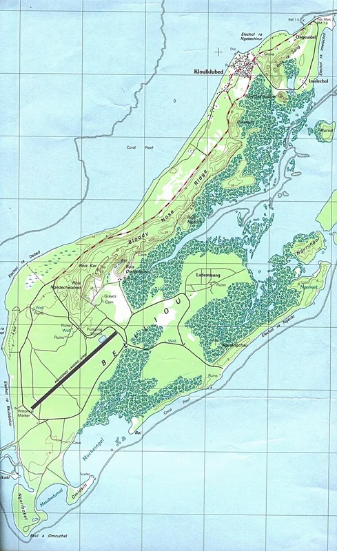
Angaur Hills

Weather…
Water temperature…
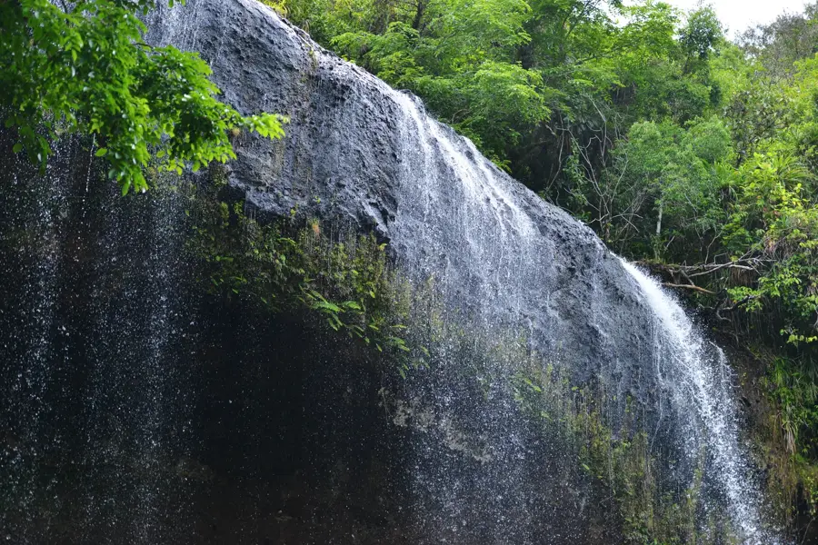
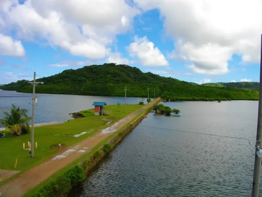
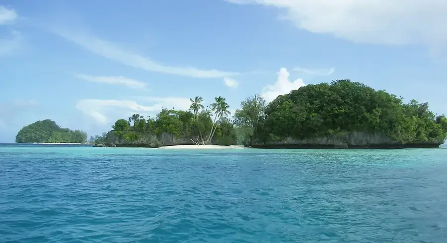
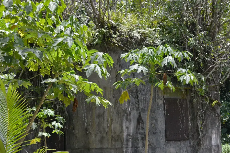
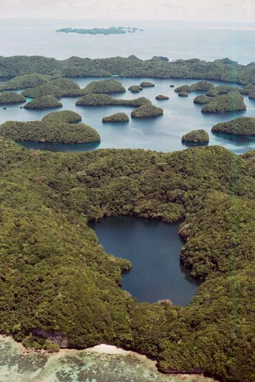
The Angaur Hills are the most prominent topographical features on Angaur Island (Ngeaur), the southernmost inhabited island in the Republic of Palau. These hills were formed through the tectonic uplift of ancient coral reefs, pushing fossilized limestone structures high above the sea level. Reaching a maximum elevation of approximately 40 meters, they stand out against the island's otherwise low-lying terrain. The hills hold significant historical weight due to the Battle of Angaur in late 1944, where the rugged caves provided defensive positions during World War II. Before the war, the area was the center of Palau's phosphate mining industry. Operations began under German administration in 1909 and expanded significantly under the Japanese, continuing until the mid-1950s. Today, the landscape is a mix of dense tropical forest and industrial ruins, with abandoned mining equipment and military remnants scattered among the limestone cliffs, making it a site of interest for both history enthusiasts and nature lovers.
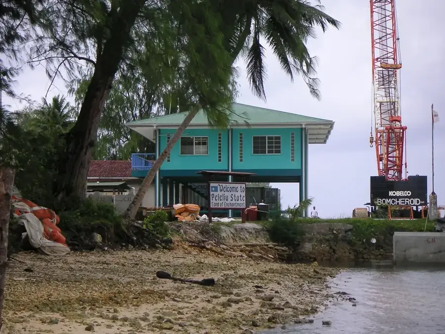
- Location: Palau
- Top sights: Elechol Ra Nguruhei · Our Lady of the Rosary Church · Elechol Ra Ngmersau
- Nearby: Kloulklubed (17 km)
Best time to visit & climate
The most pleasant time to visit is Feb–Apr.
| Jan | Feb | Mar | Apr | May | Jun | Jul | Aug | Sep | Oct | Nov | Dec | |
|---|---|---|---|---|---|---|---|---|---|---|---|---|
| Avg °C | 28 | 28 | 28 | 28 | 28 | 28 | 28 | 28 | 28 | 28 | 28 | 28 |
| Rain mm | 207 | 194 | 182 | 159 | 264 | 316 | 343 | 269 | 248 | 203 | 215 | 227 |
📋 Practical info
Geography
Facts
- Main resource: phosphate (mined until 1955)
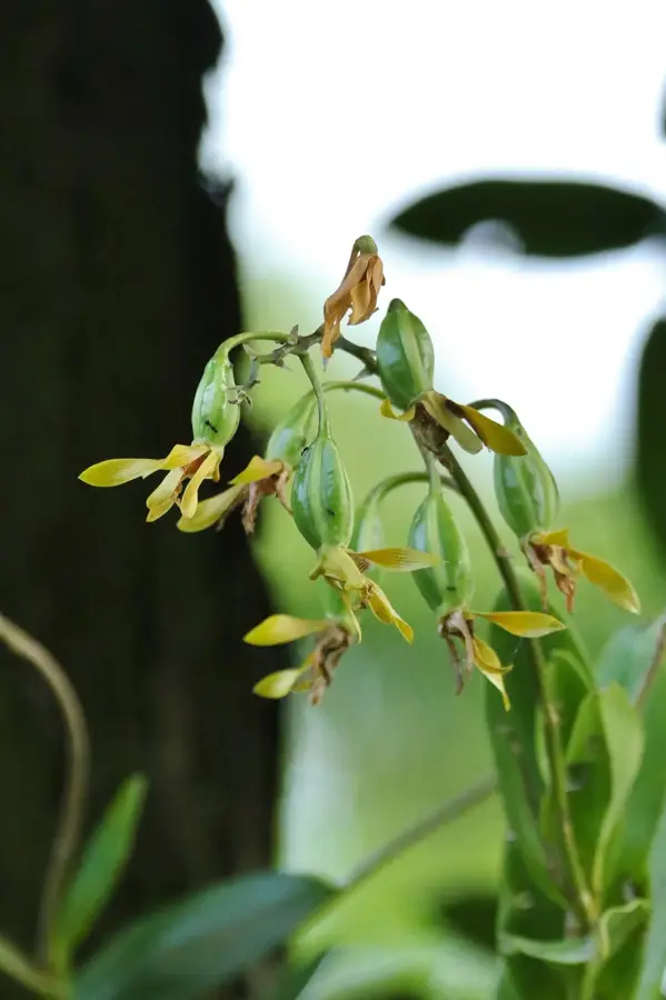
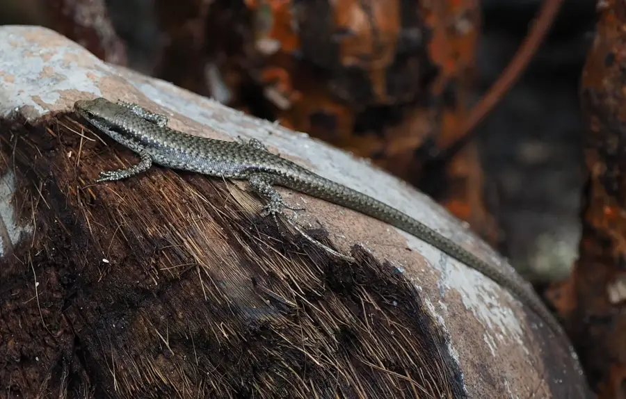
- Wildlife: habitat for crab-eating macaques
- History: Battle of Angaur (September 1944)
- Elevation: approx. 40 to 60 meters
- Infrastructure: numerous abandoned mine shafts
- Geology: coral limestone formation
Explore nearby
Notable places around
Route planner — Car & Motorhome
Where do you start? We build the route here, with stops and country notes along the way.
© OpenStreetMap contributors · OpenRouteService
Sights in the town Angaur Hills (4)
Elechol Ra Uchul A Kerekar
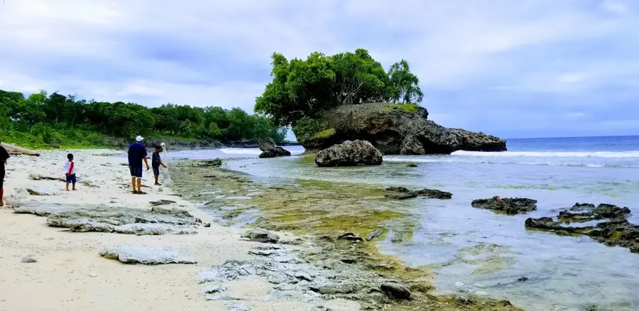
Beach area in the north of Angaur island, Palau.
Sights nearby
Frequently asked questions
How to get to Angaur?
Is there tourism infrastructure?
What is the best activity?
Should I bring food?
How is the trail condition?
Angaur Hills: where is it located?
Angaur Hills: what is there to see?
Angaur Hills: when is the best time to visit?
Angaur Hills: why is it worth visiting?

Nearby cities


History & landmarks
Nature
More places