Plizio Visual Lab
Angaur Battlefield

Weather…
Water temperature…
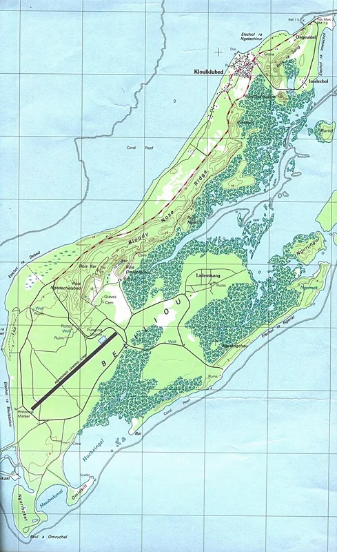
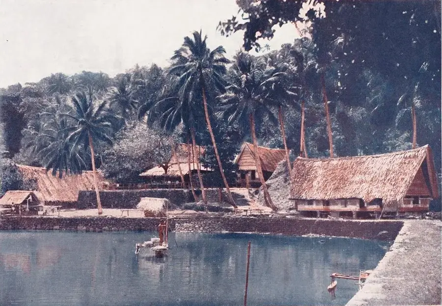
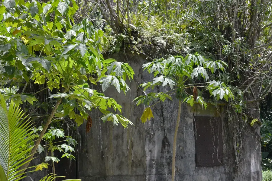
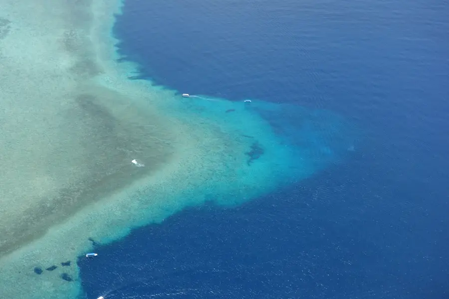
The Angaur Battlefield is a site of profound historical significance, marking one of the fiercest chapters of the Pacific Theater in 1944. The invasion by the U.S. Army's 81st Infantry Division aimed to secure the island as a strategic airbase to support the liberation of the Philippines. Japanese defenders utilized the island's rugged coral caves and abandoned phosphate mines to establish a formidable defensive network, leading to brutal, close-quarters combat with high casualty rates on both sides. The resistance in the "Northwest Corner" was particularly notorious, continuing for weeks after the island was officially declared secure. Today, while tropical growth is reclaiming the scars of battle, the island remains a somber open-air museum filled with rusted tanks, artillery pieces, and concrete bunkers. Numerous memorials and shrines honor those who fell, making Angaur a vital place of remembrance and a poignant reminder of the costs of war set against the backdrop of Palau's natural beauty.
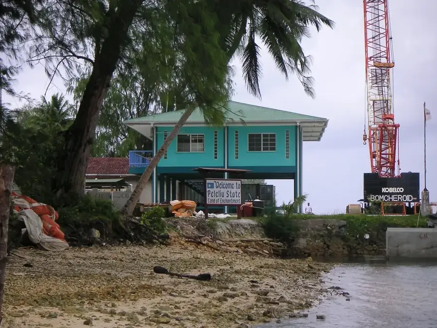
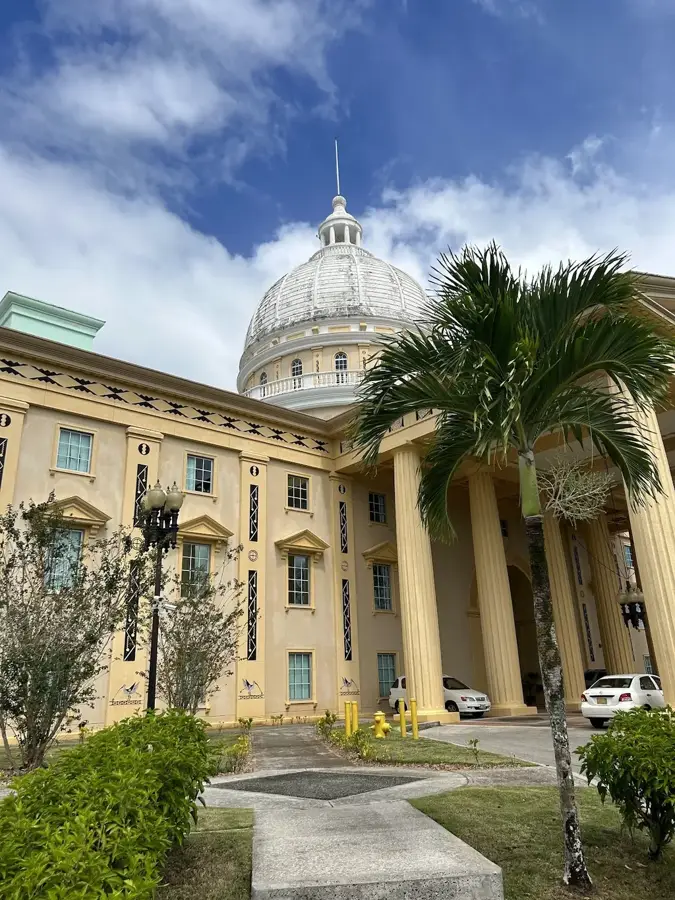
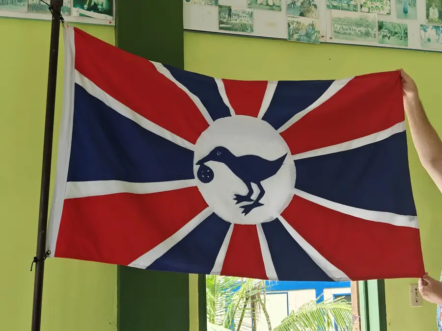
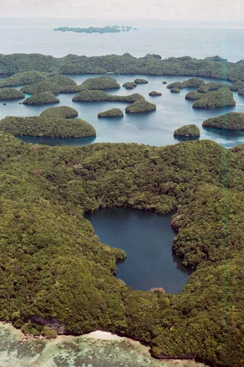
- Location: Palau
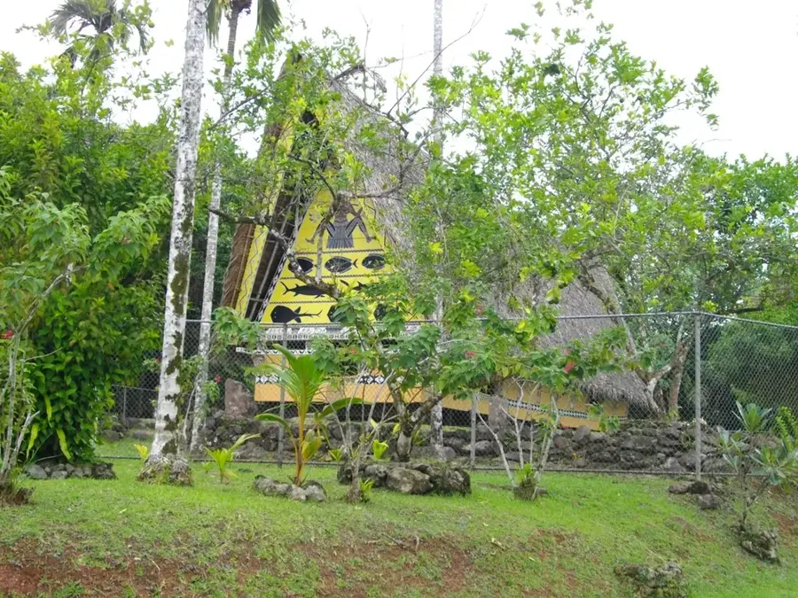
- Top sights: Our Lady of the Rosary Church · Elechol Ra Nguruhei · Elechol Ra Ngmersau
- Nearby: Kloulklubed (17 km)
Best time to visit & climate
The most pleasant time to visit is Feb–Apr.
| Jan | Feb | Mar | Apr | May | Jun | Jul | Aug | Sep | Oct | Nov | Dec | |
|---|---|---|---|---|---|---|---|---|---|---|---|---|
| Avg °C | 28 | 28 | 28 | 28 | 28 | 28 | 28 | 28 | 28 | 28 | 28 | 28 |
| Rain mm | 207 | 194 | 182 | 159 | 264 | 316 | 343 | 269 | 248 | 203 | 215 | 227 |
📋 Practical info
Geography
Facts
- The invasion began on September 17, 1944
- Operation was part of the broader Stalemate II campaign
- The U.S. Army's 81st Infantry Division led the assault
- Approximately 1,300 Japanese soldiers defended the island
- The island was declared secure on October 22, 1944
- U.S. forces constructed two runways for B-24 bombers
Explore nearby
Notable places around
Route planner — Car & Motorhome
Where do you start? We build the route here, with stops and country notes along the way.
© OpenStreetMap contributors · OpenRouteService
Sights in the town Angaur Battlefield (4)
Elechol Ra Ngeriois
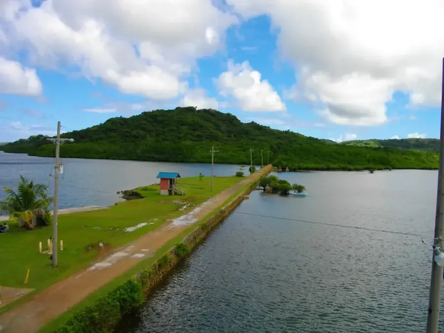
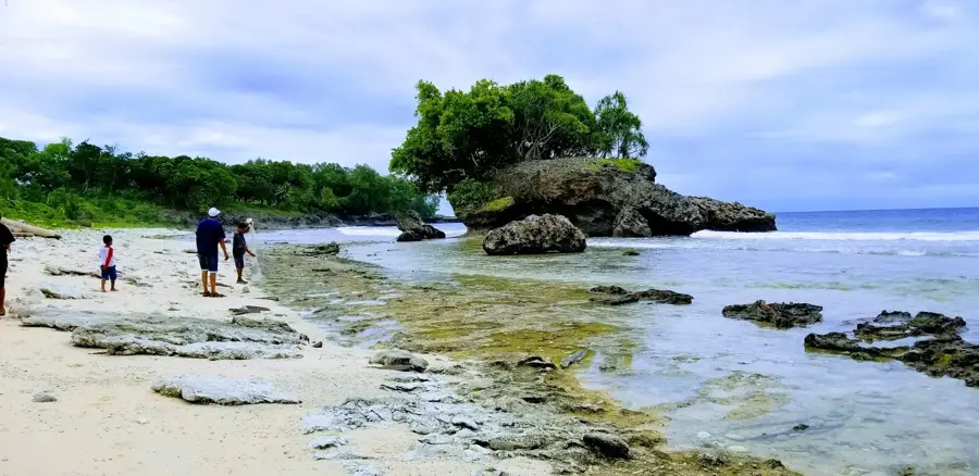
Coastal strip on eastern Angaur, rocky with a narrow sand band.
Sights nearby
Frequently asked questions
Why are there battlefield remnants here?
Is the terrain dangerous?
What is the best time to visit?
Do you need a visa for Angaur?
Are there museums there?
Angaur Battlefield: where is it located?
Angaur Battlefield: what is there to see?
Angaur Battlefield: when is the best time to visit?
Angaur Battlefield: why is it worth visiting?

Nearby cities

History & landmarks
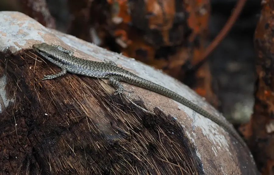
Nature
More places