Plizio Visual Lab
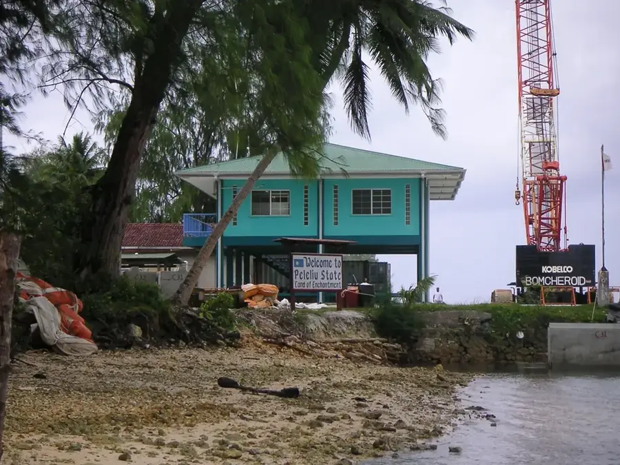
Angaur Harbor

Weather…
Water temperature…
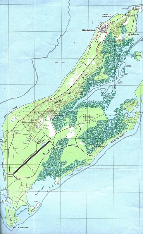
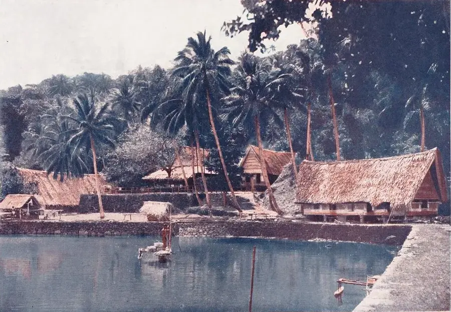
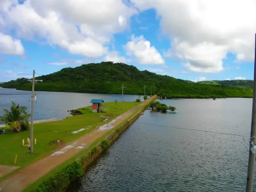
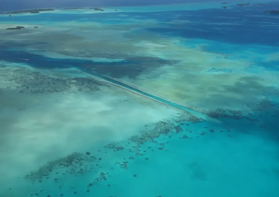
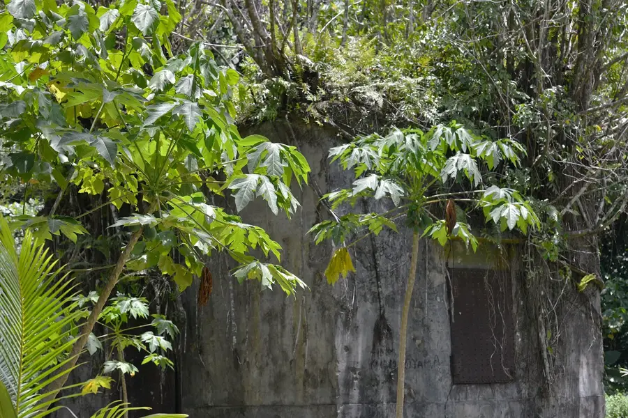
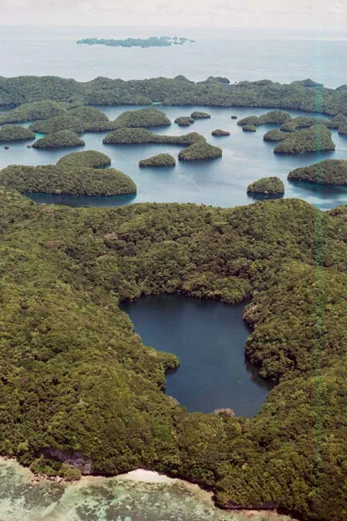
Angaur Harbor serves as the indispensable lifeline for the southernmost inhabited island in the Palauan archipelago. Due to its remote location far from the administrative center of Koror, the harbor is the only entry point for heavy machinery, medical supplies, fuel, and daily groceries. The site holds significant historical weight, having been a major hub for phosphate mining during the German and Japanese administrations in the early 20th century. At its industrial peak, the harbor was one of the busiest mineral export points in the region, and remnants of large-scale loading piers can still be explored nearby. In the modern era, the harbor facilitates local trade, supporting small-scale farmers and fishers who rely on maritime transport to reach broader markets. The weekly ferry service provides the only affordable transit for residents, making the harbor a vital social and economic anchor that ensures the continued viability of human settlement on this distant Pacific island.
- Location: Palau
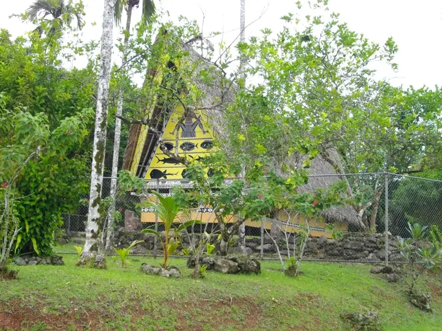
- Top sights: Elechol Ra Nguruhei · Our Lady of the Rosary Church · Elechol Ra Ngmersau
- Nearby: Kloulklubed (17 km)
Best time to visit & climate
The most pleasant time to visit is Feb–Apr.
| Jan | Feb | Mar | Apr | May | Jun | Jul | Aug | Sep | Oct | Nov | Dec | |
|---|---|---|---|---|---|---|---|---|---|---|---|---|
| Avg °C | 28 | 28 | 28 | 28 | 28 | 28 | 28 | 28 | 28 | 28 | 28 | 28 |
| Rain mm | 207 | 194 | 182 | 159 | 264 | 316 | 343 | 269 | 248 | 203 | 215 | 227 |
📋 Practical info
Geography
Facts
- Only established harbor on the island of Angaur
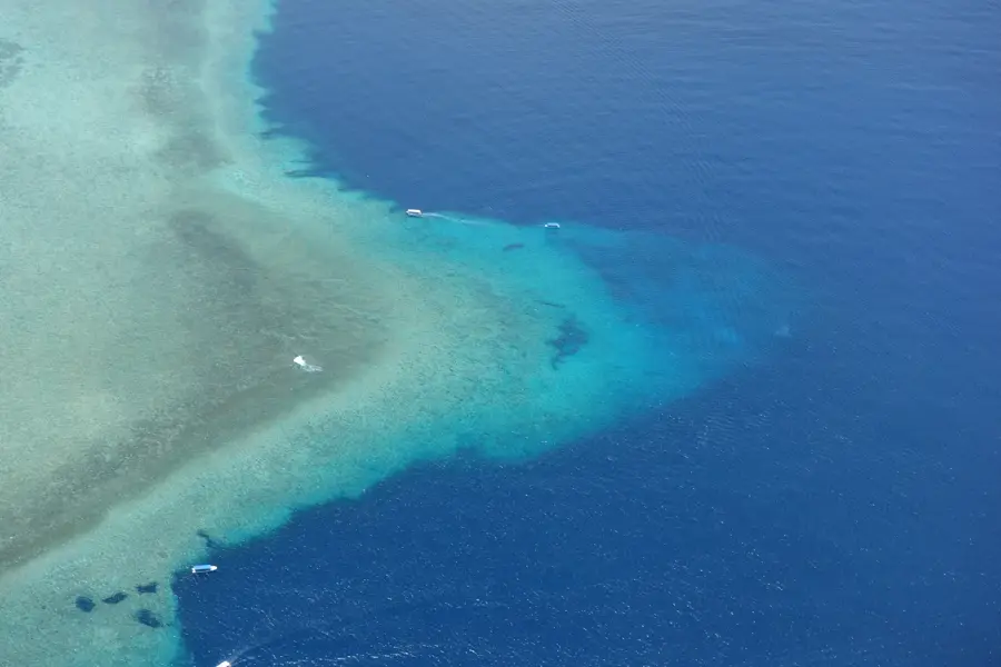
- The harbor entrance was artificially blasted into the reef
- Historically used for the exportation of phosphate
- The harbor basin provides protection from heavy ocean swells
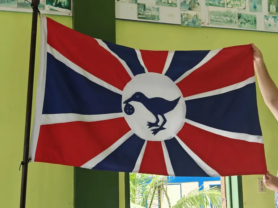
- Regular ferry service is operated by the State of Angaur
- Crucial location for the loading and unloading of fuel
Explore nearby
Notable places around
Route planner — Car & Motorhome
Where do you start? We build the route here, with stops and country notes along the way.
© OpenStreetMap contributors · OpenRouteService
Sights in the town Angaur Harbor (4)
Elechol Ra Uchul A Kerekar
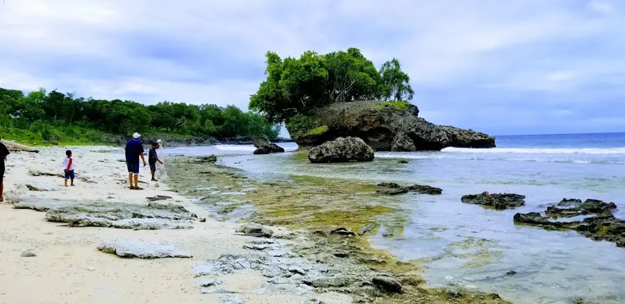
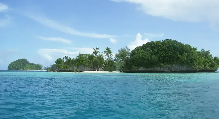
Southern coastal strip on the island, suitable for swimming and snorkeling.
Sights nearby
Frequently asked questions
What is the role of Angaur harbor?
Is there a visitor center?
Is photography allowed?
What is the best way to get there?
What should one keep in mind about Angaur?
Angaur Harbor: where is it located?
Angaur Harbor: what is there to see?
Angaur Harbor: when is the best time to visit?
Angaur Harbor: why is it worth visiting?

Nearby cities


History & landmarks
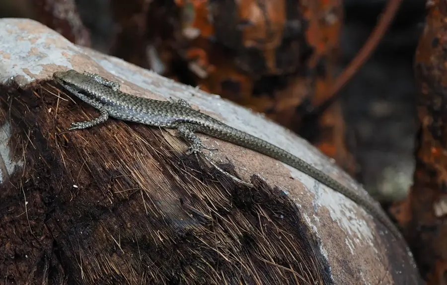
Nature
More places