Plizio Visual Lab
Galicica National Park

Weather…
Water temperature…
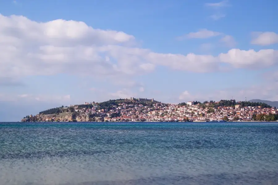
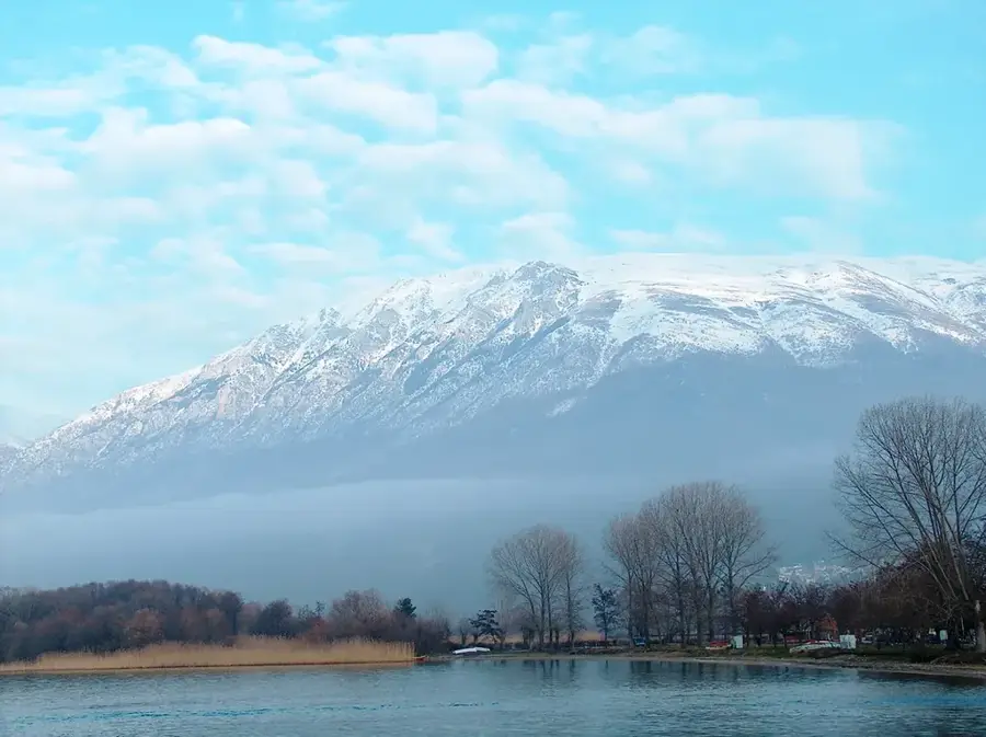
Galicica National Park is situated in the southwestern part of North Macedonia, spanning the mountain range of the same name between Lake Ohrid and Lake Prespa. Established in 1958, the park covers an area of approximately 227 square kilometers, characterized by extraordinary biodiversity and striking karst landscapes. The park's highest peak is Magaro, reaching an elevation of 2,254 meters, offering a rare vantage point from which both major lakes can be viewed simultaneously. The flora is particularly noteworthy, hosting over 1,600 plant species, 37 of which are endemic to the region. Geologically, the mountain is primarily composed of limestone, resulting in numerous caves and underground water systems that are essential for the hydration of Lake Ohrid. The park serves as a vital sanctuary for the endangered Balkan lynx and various eagle species, reinforcing its status as a site of significant international ecological importance.
- Location: North Macedonia
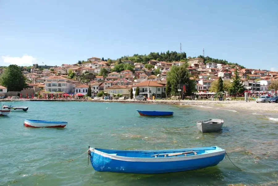
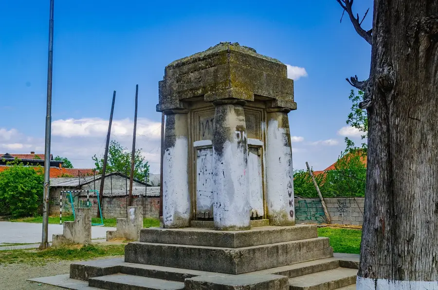
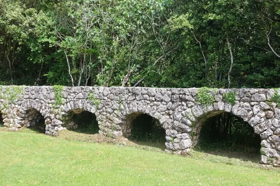
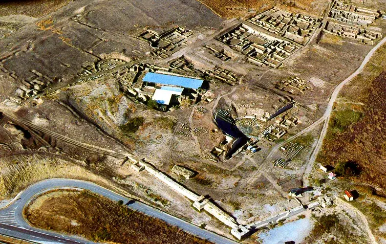
- Top sights: Bay of Bones · Bajrače · Roman Camp Ruins
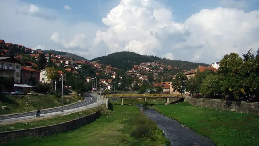
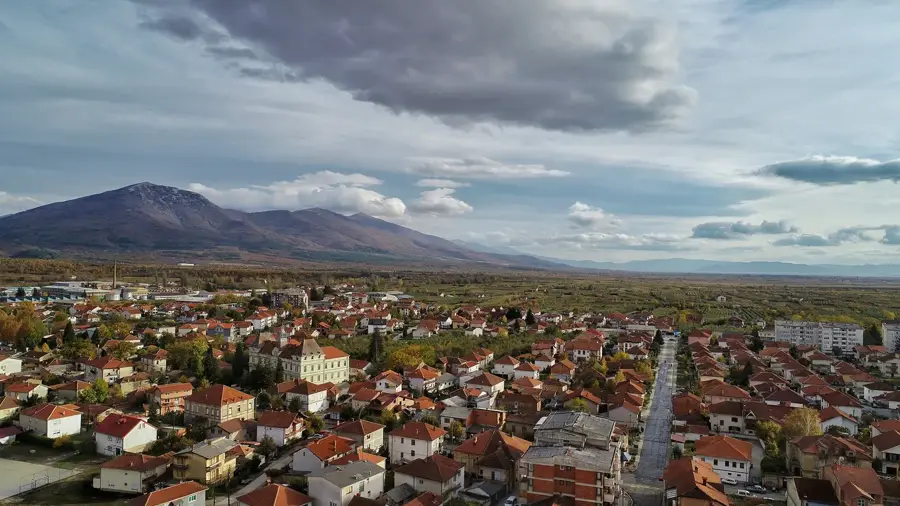
- Nearby: Galichica National Park (4 km)
Best time to visit & climate
The most pleasant time to visit is Jun–Aug.
| Jan | Feb | Mar | Apr | May | Jun | Jul | Aug | Sep | Oct | Nov | Dec | |
|---|---|---|---|---|---|---|---|---|---|---|---|---|
| Avg °C | -1 | 1 | 5 | 9 | 14 | 19 | 23 | 23 | 17 | 12 | 6 | 1 |
| Rain mm | 57 | 53 | 54 | 57 | 62 | 50 | 36 | 36 | 60 | 66 | 69 | 70 |
📋 Practical info
Geography
Facts
- The park was officially established on March 6, 1958.
- It contains 1,644 distinct plant species within its boundaries.
- Magaro Peak stands as the highest elevation at 2,254 meters.
- Over 130 species of butterflies have been recorded within the park.
- The karst geology facilitates underground water flow from Lake Prespa to Lake Ohrid.
- It forms part of the European Green Belt conservation initiative.
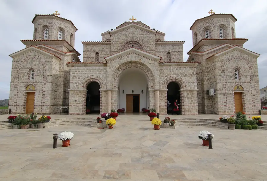
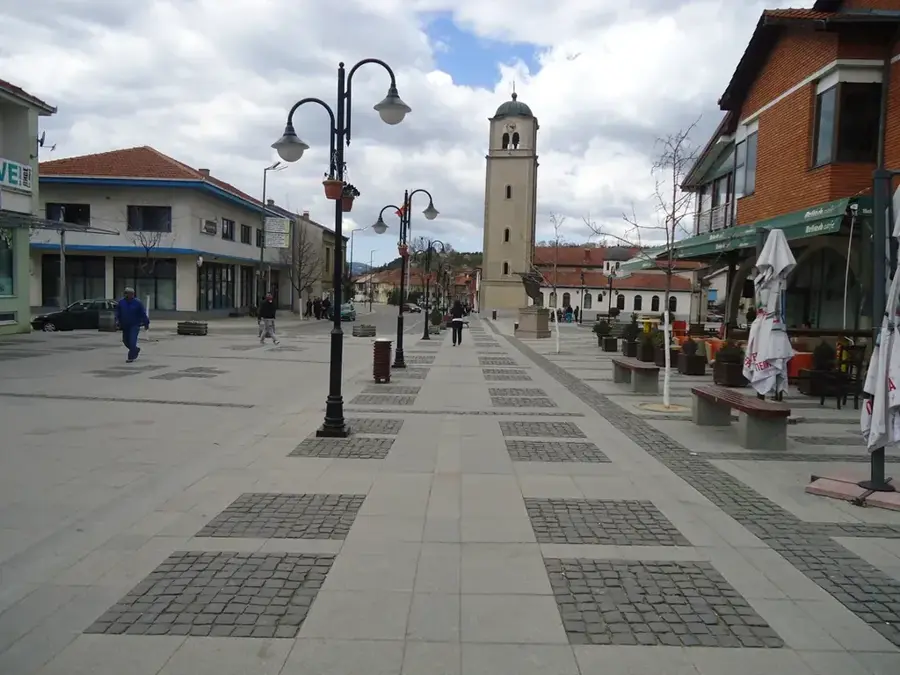
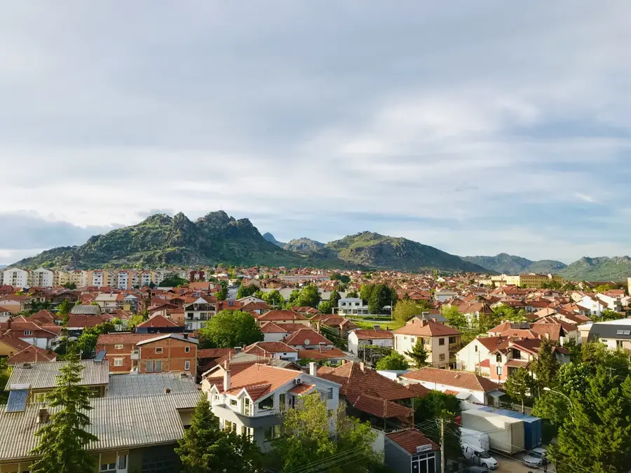
Explore nearby
Notable places around
Route planner — Car & Motorhome
Where do you start? We build the route here, with stops and country notes along the way.
© OpenStreetMap contributors · OpenRouteService
Sights in the town Galicica National Park (5)
Sights nearby
Frequently asked questions
Between which lakes is the park located?
What is the highest point in the park?
What activities are offered?
Do you need a ticket for the park?
Are there endemic plants?
Galicica National Park: where is it located?
Galicica National Park: what is there to see?
Galicica National Park: when is the best time to visit?
Galicica National Park: why is it worth visiting?

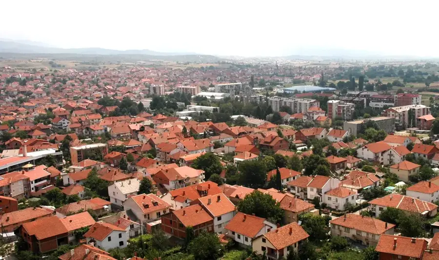
Nearby cities