Plizio Visual Lab
Galicica Peak
Weather…
Water temperature…
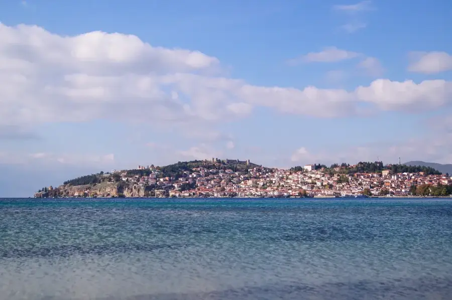
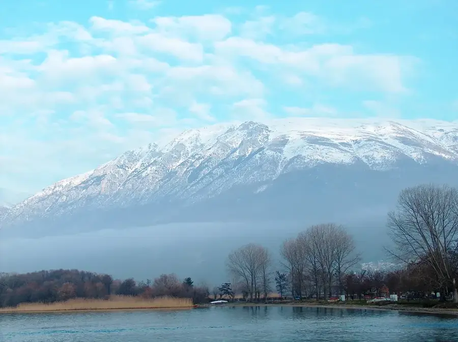
The Galicica mountain range is situated in southwestern North Macedonia between the country's two largest lakes, Ohrid and Prespa. Its highest peak is Magaro, standing at 2,255 meters, which has a unique panoramic view of both lakes simultaneously. The entire massif was designated as a National Park in 1958 to protect its extraordinary biodiversity and karst landscapes. Geologically, Galicica is composed almost entirely of limestone, leading to the formation of numerous caves, fissures, and underground water channels. The flora is one of the richest in Europe, featuring over 1,600 plant species, many of which are endemic to the region. Historically, the range was part of the frontline during World War I, with remnants of trenches still visible today. For visitors, the National Park provides well-marked hiking trails, paragliding opportunities, and the chance to observe rare wildlife such as the Balkan lynx or the brown bear.
- Location: North Macedonia
- Top sights: Stenje Beach · Maja Grabotit · Vršina
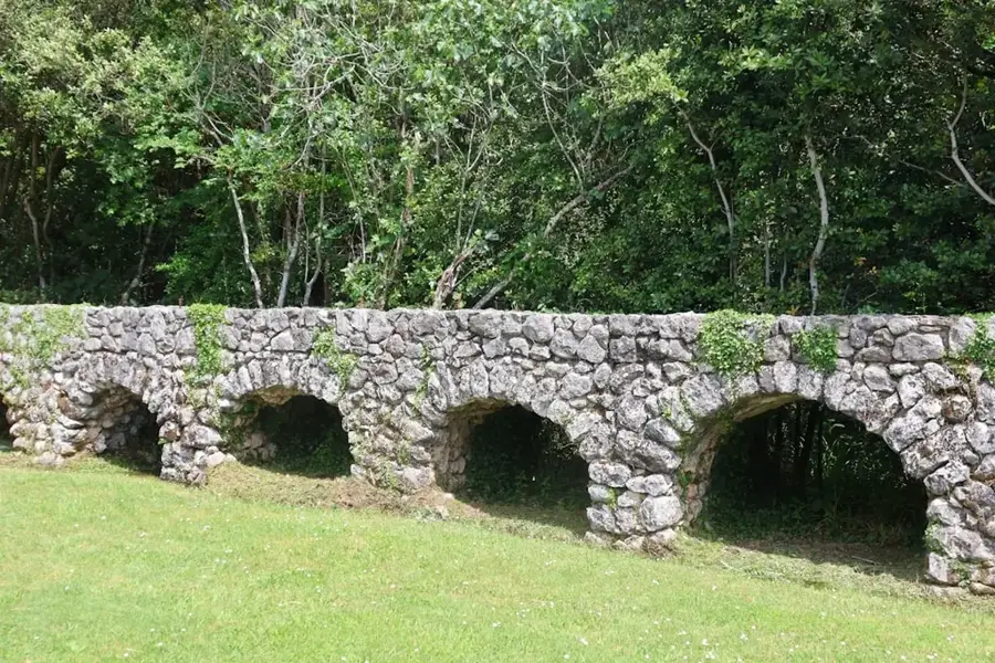
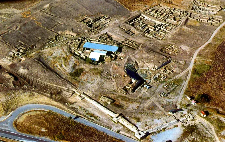
- Nearby: Galichica National Park (6 km)
Best time to visit & climate
The most pleasant time to visit is Jun–Aug.
| Jan | Feb | Mar | Apr | May | Jun | Jul | Aug | Sep | Oct | Nov | Dec | |
|---|---|---|---|---|---|---|---|---|---|---|---|---|
| Avg °C | -1 | 1 | 5 | 9 | 14 | 19 | 23 | 23 | 17 | 12 | 6 | 1 |
| Rain mm | 57 | 53 | 54 | 57 | 62 | 50 | 36 | 36 | 60 | 66 | 69 | 70 |
📋 Practical info
Geography
Facts
- Highest peak Magaro stands at 2,255 meters
- Established as a National Park in 1958
- Views of both Lake Ohrid and Lake Prespa
- Home to over 1,600 distinct plant species
- Limestone massif with extensive cave systems
- Site of combat during the First World War
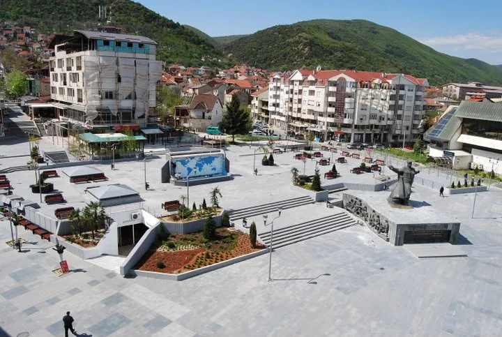
Explore nearby
Notable places around
Route planner — Car & Motorhome
Where do you start? We build the route here, with stops and country notes along the way.
© OpenStreetMap contributors · OpenRouteService
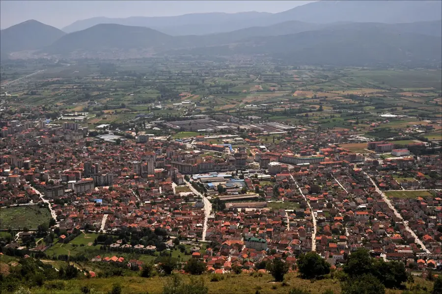
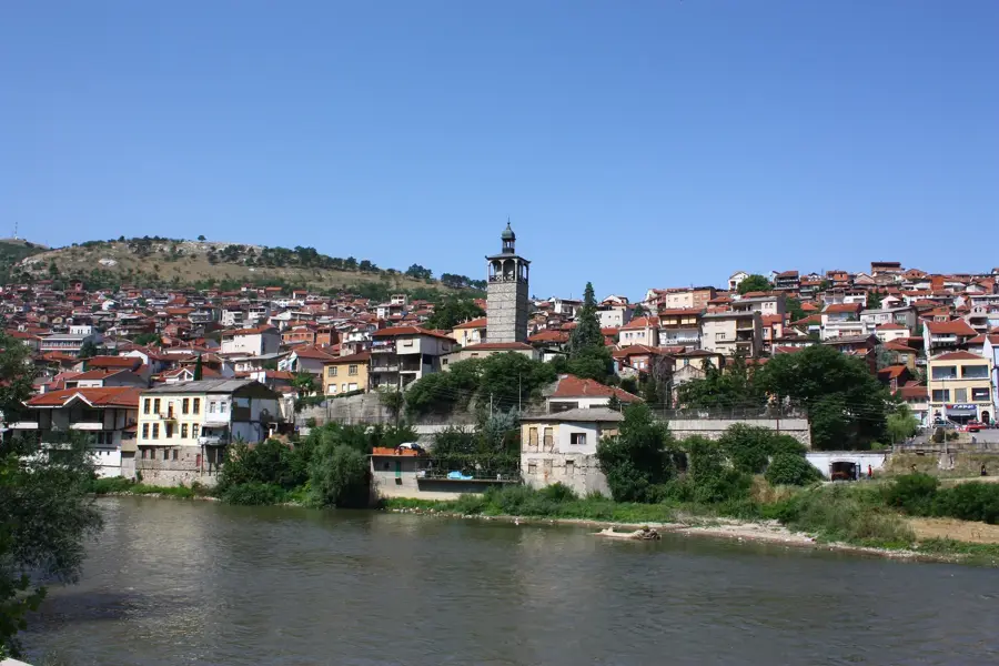
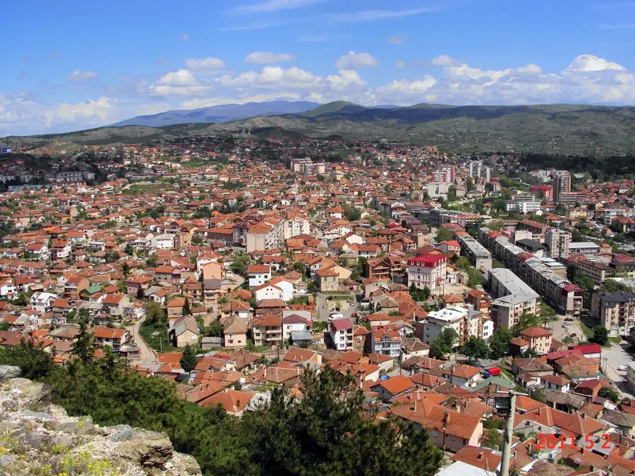
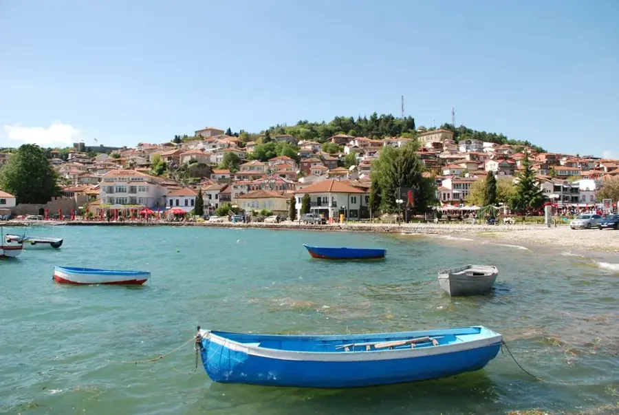
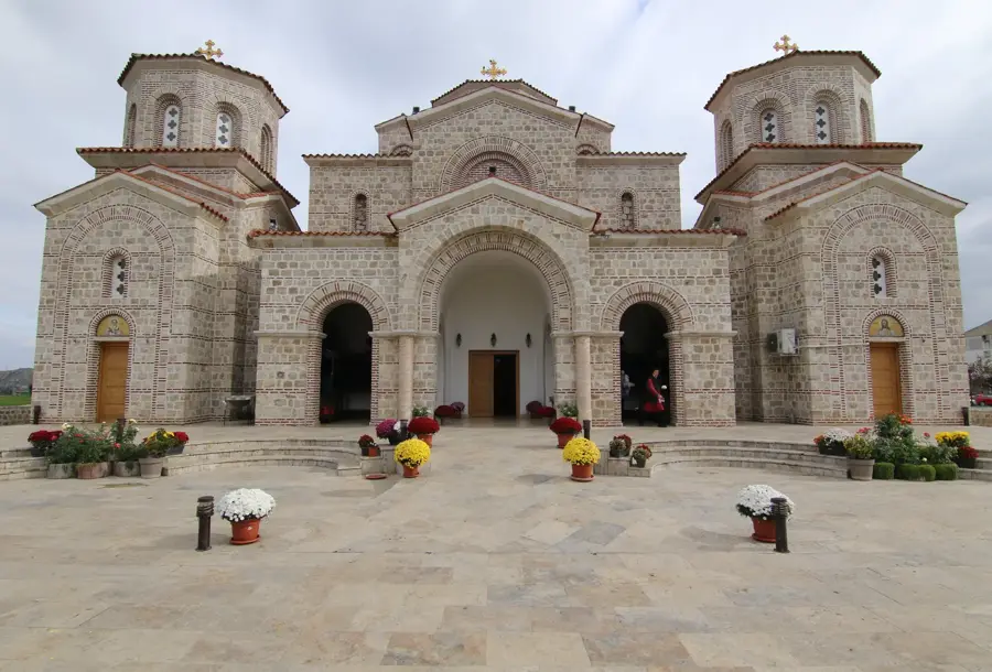
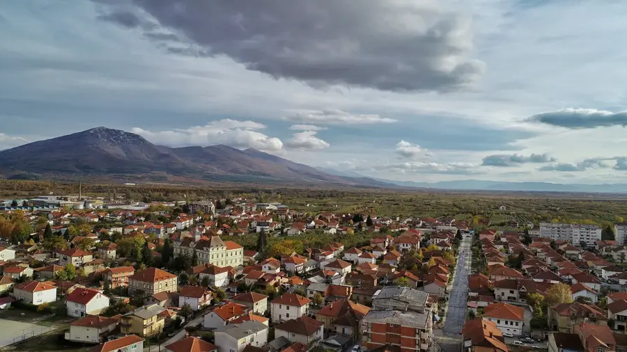
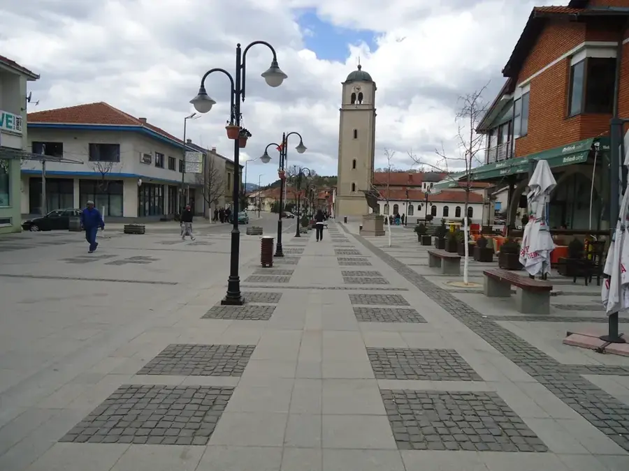
Sights in the town Galicica Peak (3)
Sights nearby
Frequently asked questions
Where is the Galičica peak located?
How high is the highest peak, Magaro?
Can you see both lakes from the peak?
Is there a fee to enter the national park?
Are there endemic plants there?
Galicica Peak: where is it located?
Galicica Peak: what is there to see?
Galicica Peak: when is the best time to visit?
Galicica Peak: why is it worth visiting?

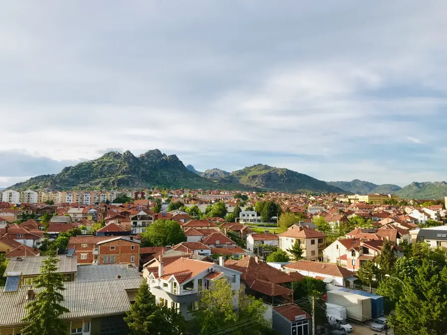
Nearby cities