Plizio Visual Lab
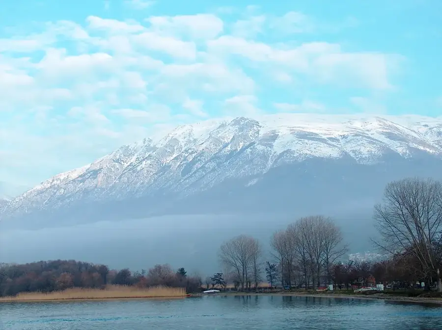
Galicica Mountain
Weather…
Water temperature…
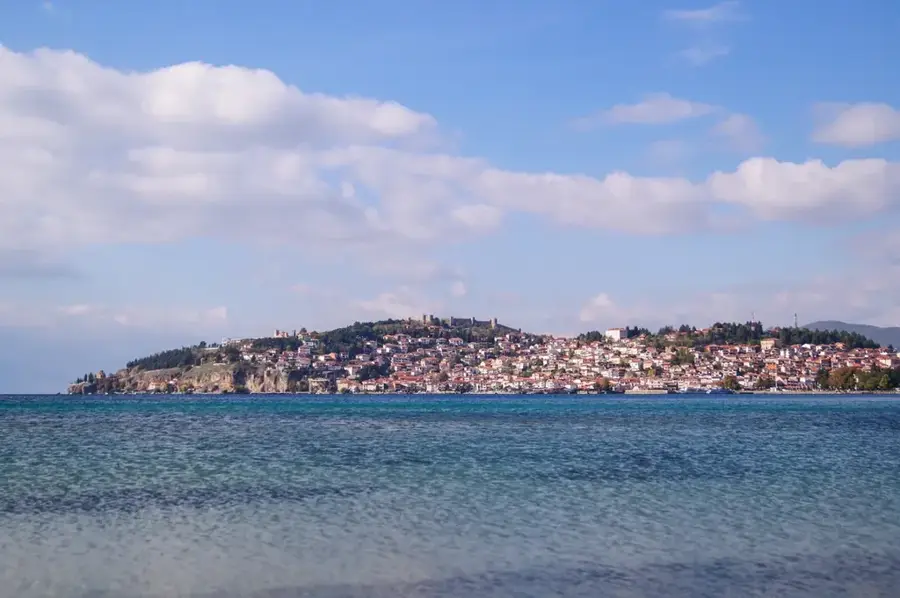
Galicica is an impressive limestone mountain in southwestern North Macedonia, rising prominently between the country's two largest lakes, Lake Ohrid and Lake Prespa. Its highest peak is Magaro, standing at 2,255 meters. The range has been protected as a national park since 1958 and is characterized by its extraordinary biodiversity, hosting over 1,600 plant species, many of which are endemic. Due to its karstic nature, there are almost no surface streams; instead, water flows underground through complex cave systems from the higher-elevation Lake Prespa to Lake Ohrid. This subterranean connection is vital for the ecological balance of both lakes. The climate is shaped by both Mediterranean and continental influences, resulting in a unique flora. From the ridges of Galicica, visitors can experience one of the most spectacular views in the Balkans, as both lakes are visible simultaneously. Historically, the mountain was a contested area on the Salonika Front during World War I.
- Location: North Macedonia
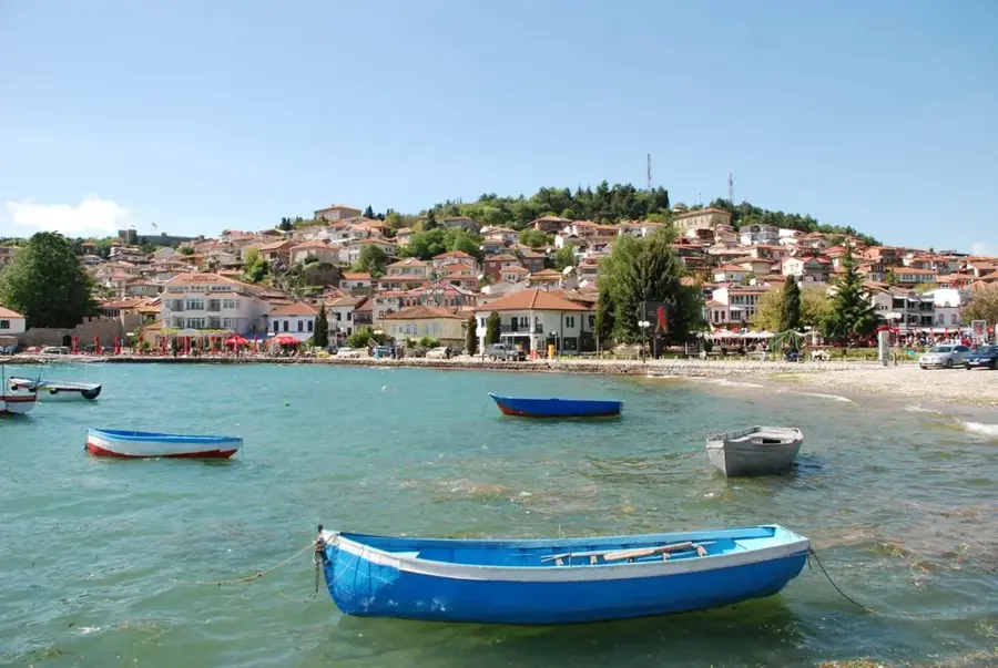
- Nearby: Ohrid Tourism Center (19 km)
Best time to visit & climate
The most pleasant time to visit is Jun–Aug.
| Jan | Feb | Mar | Apr | May | Jun | Jul | Aug | Sep | Oct | Nov | Dec | |
|---|---|---|---|---|---|---|---|---|---|---|---|---|
| Avg °C | -1 | 1 | 5 | 9 | 14 | 19 | 23 | 23 | 17 | 12 | 6 | 1 |
| Rain mm | 57 | 53 | 54 | 57 | 62 | 50 | 36 | 36 | 60 | 66 | 69 | 70 |
📋 Practical info
Geography
Facts
- Located between Lake Ohrid and Lake Prespa.
- The Magaro peak reaches an elevation of 2,255 meters.
- Designated as a national park in 1958.
- Home to more than 1,600 different plant species.
- Provides subterranean water drainage from Prespa to Ohrid.
- The only place from which both lakes are visible at once.
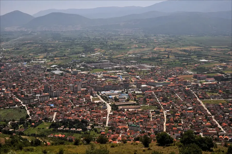
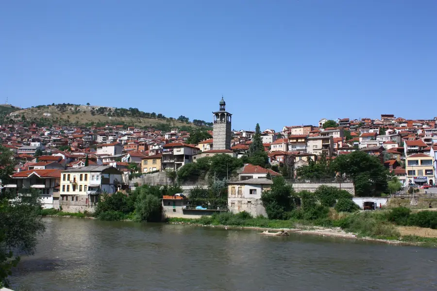
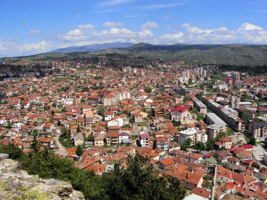
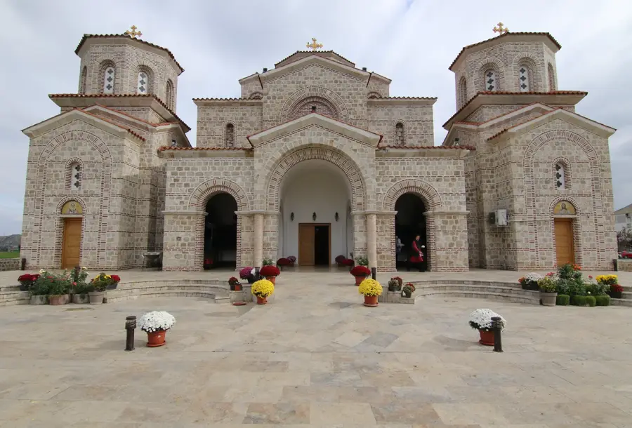
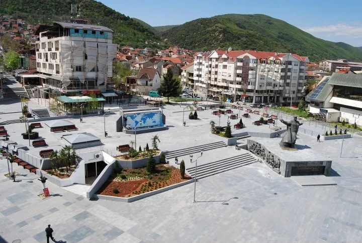
Explore nearby
Notable places around
Route planner — Car & Motorhome
Where do you start? We build the route here, with stops and country notes along the way.
© OpenStreetMap contributors · OpenRouteService
Sights nearby
Frequently asked questions
Where is the Galičica mountain range located?
What is the highest point of Galičica?
Can you see both lakes from the summit?
Is Galičica a national park?
What flora is special here?
Galicica Mountain: where is it located?
Galicica Mountain: when is the best time to visit?
Galicica Mountain: why is it worth visiting?

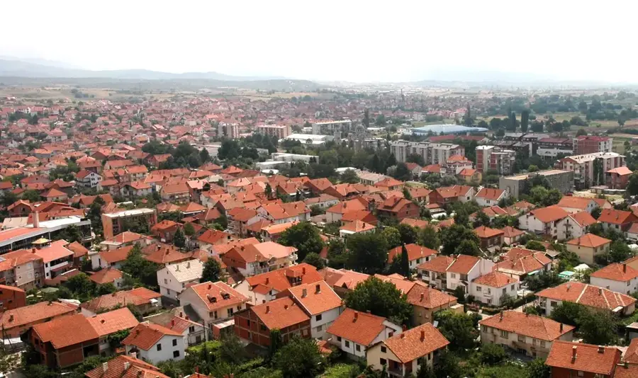
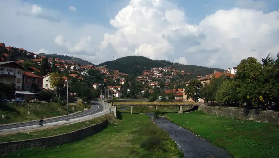
Nearby cities