Plizio Visual Lab
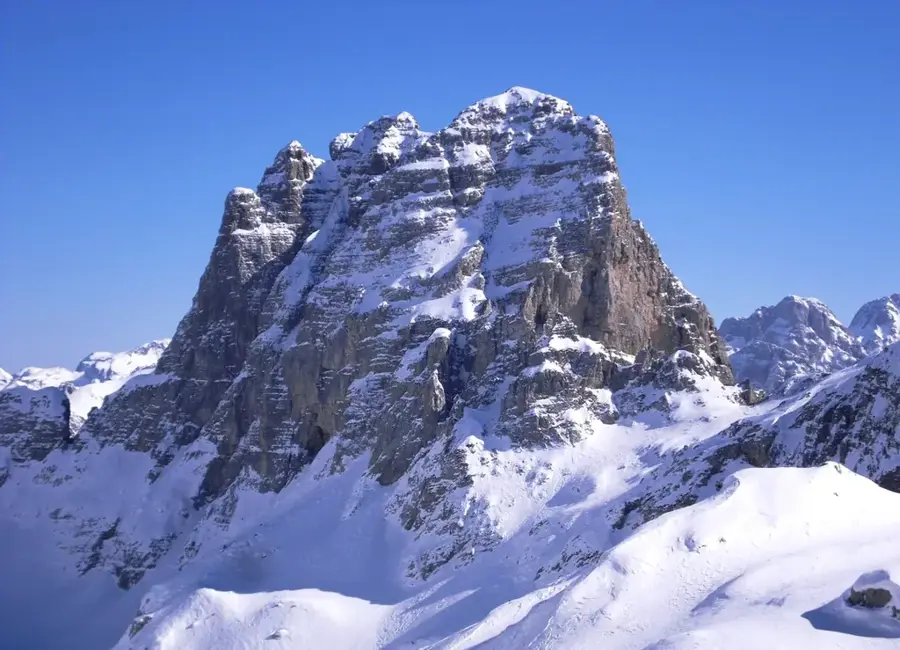
Maja e Thatë
Weather…
Water temperature…
Maja e Thate is a prominent peak in the Albanian Alps (Prokletije), reaching an elevation of 2,406 meters. Located in the northern part of the country, near the famous Valbona Valley, it sits close to the border with Montenegro. Its name, meaning "Dry Peak," refers to its limestone geological composition, which causes surface water to rapidly drain into the ground, leaving the slopes almost devoid of springs. The landscape is characterized by extremely steep rock faces, deep glacial cirques, and sparse but fascinating alpine vegetation. Historically, the region served as a sanctuary for local people during various conflicts and was a strategic point for monitoring mountain passes. Today, Maja e Thate is known among experienced mountaineers for its challenging climbs and untouched wilderness. The summit provides an impressive panorama over the surrounding massifs of the "Accursed Mountains." The area is part of the transboundary "Balkan Peace Park" project, which aims to promote environmental conservation and peace in the region.
- Location: Albania
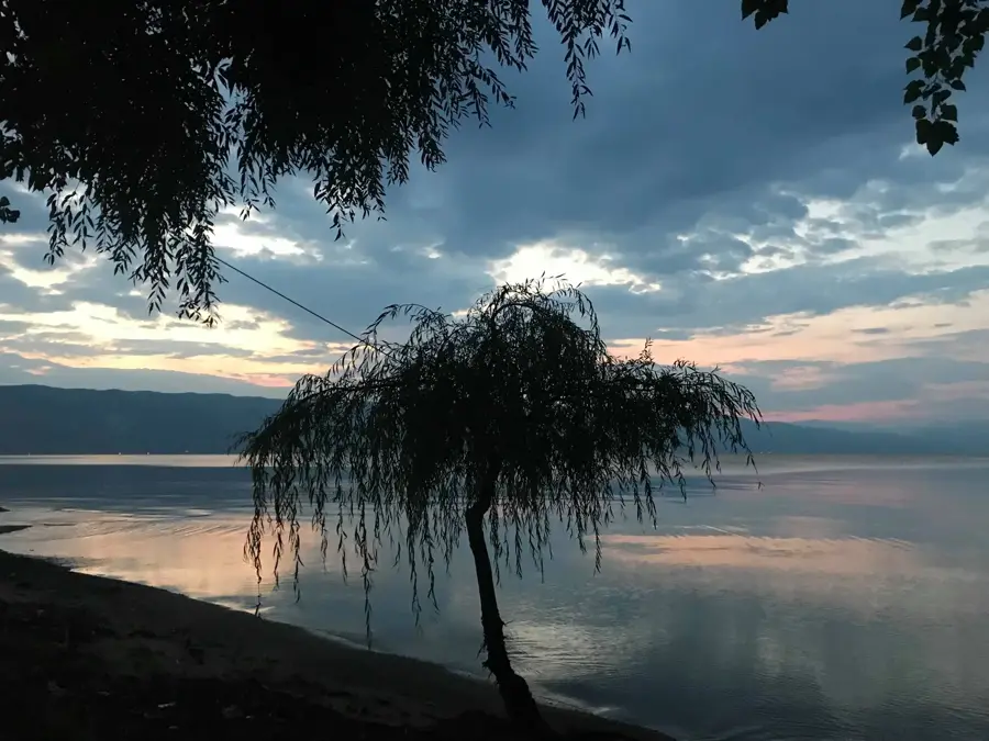
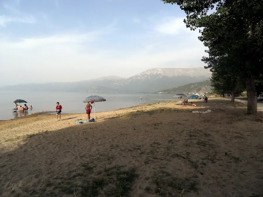
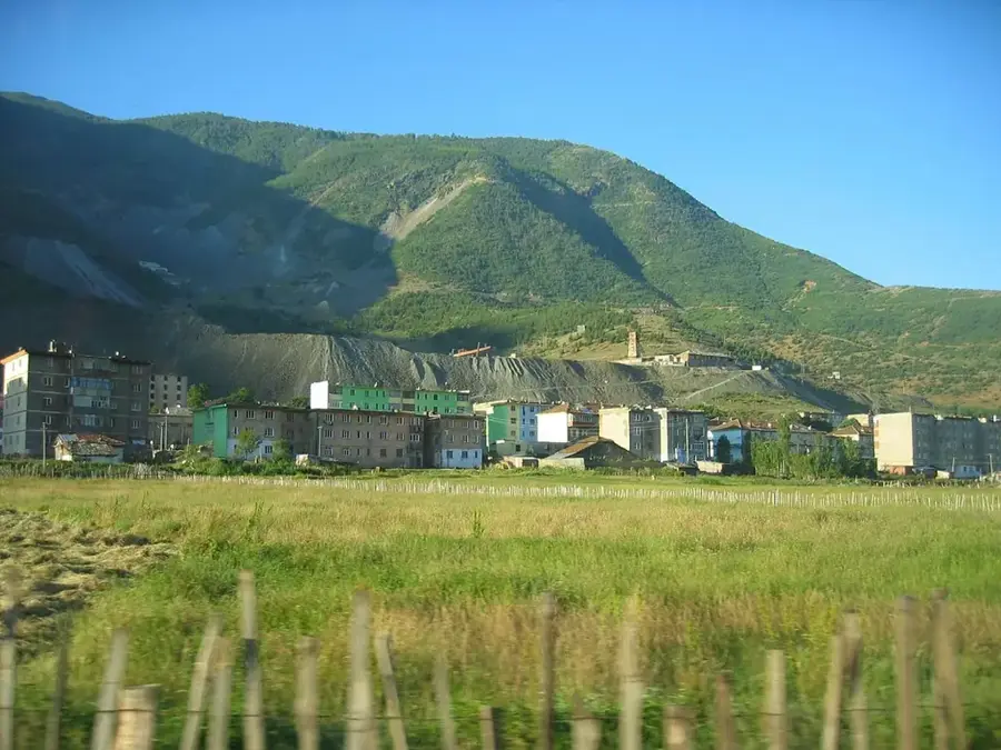
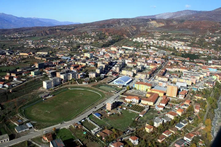
- Nearby: Tushemisht (10 km)
Best time to visit & climate
The most pleasant time to visit is Jun–Aug.
| Jan | Feb | Mar | Apr | May | Jun | Jul | Aug | Sep | Oct | Nov | Dec | |
|---|---|---|---|---|---|---|---|---|---|---|---|---|
| Avg °C | -1 | 1 | 5 | 9 | 14 | 19 | 23 | 23 | 17 | 12 | 6 | 1 |
| Rain mm | 57 | 53 | 54 | 57 | 62 | 50 | 36 | 36 | 60 | 66 | 69 | 70 |
📋 Practical info
Geography
Facts
- The summit reaches a total height of 2,406 meters (7,894 feet).
- Its name "Maja e Thate" literally means "The Dry Peak".
- The mountain is situated on the border between Albania and Montenegro.
- It belongs to the Accursed Mountains (Prokletije) mountain range.
- The peak is characterized by massive limestone rock formations.
- It is a popular destination for technical mountaineering and climbing.
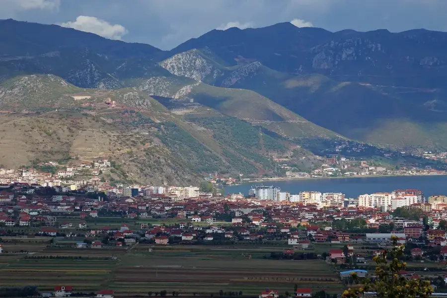
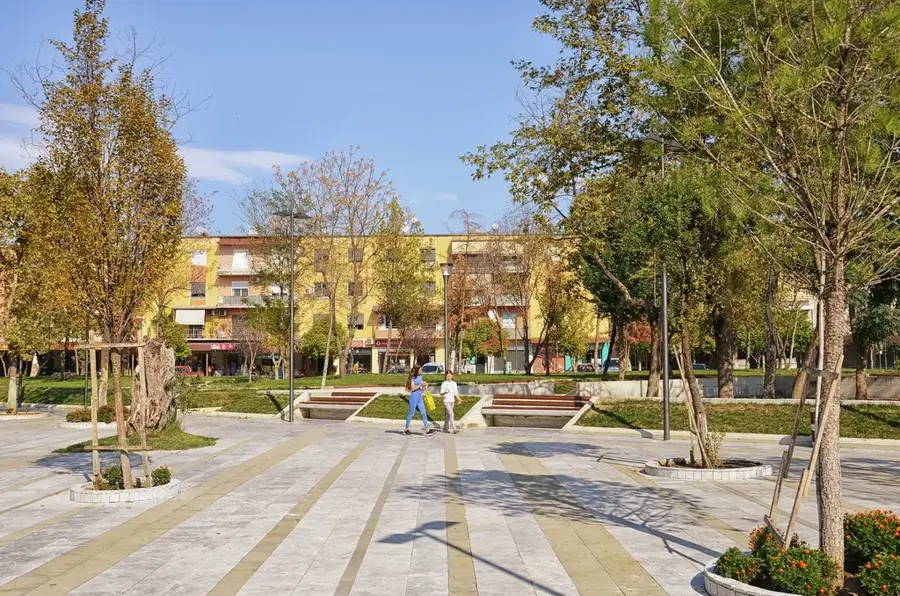
Explore nearby
Notable places around
Route planner — Car & Motorhome
Where do you start? We build the route here, with stops and country notes along the way.
© OpenStreetMap contributors · OpenRouteService
Sights nearby
Frequently asked questions
Where is Maja e Thatë located?
How high is the peak?
What does the name 'Maja e Thatë' mean?
Is the trail to the summit marked?
Does the peak offer a view of Valbona?
Maja e Thatë: where is it located?
Maja e Thatë: when is the best time to visit?
Maja e Thatë: why is it worth visiting?

Nearby cities