Plizio Visual Lab
Vardar near Gradsko
Weather…
Water temperature…
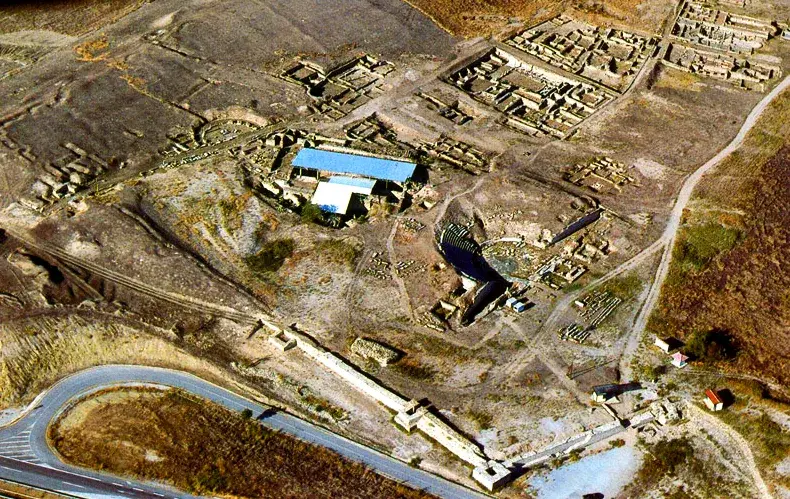
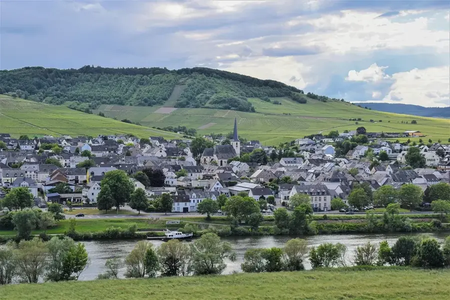
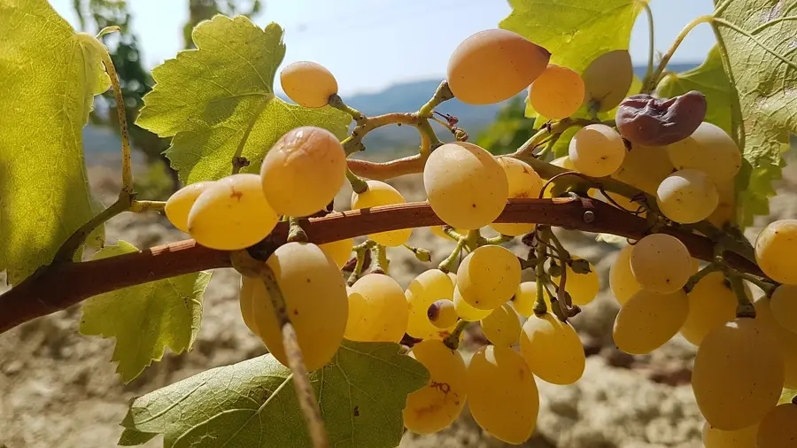
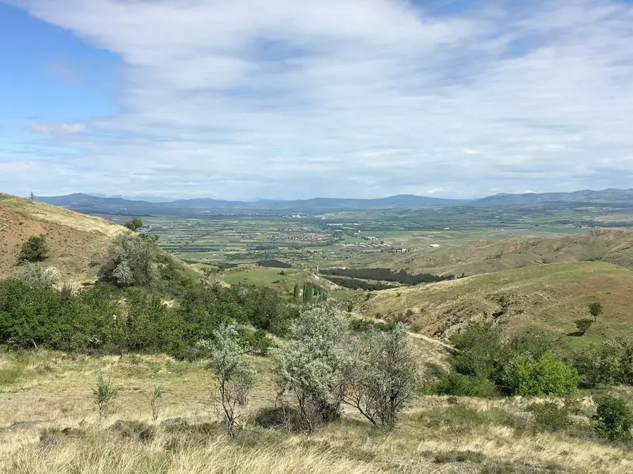
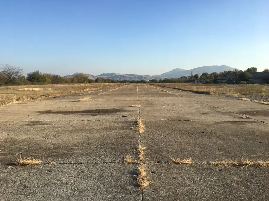
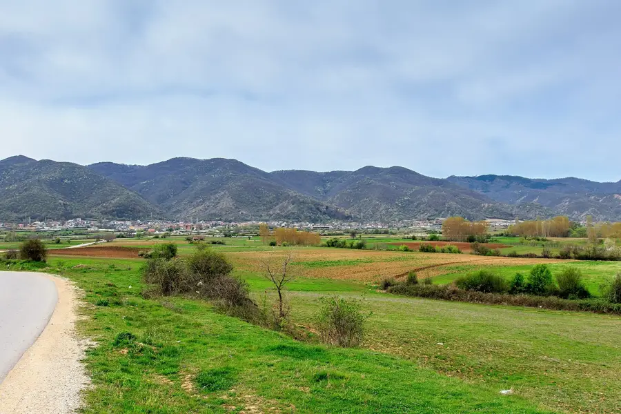
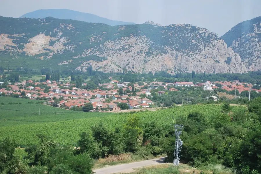
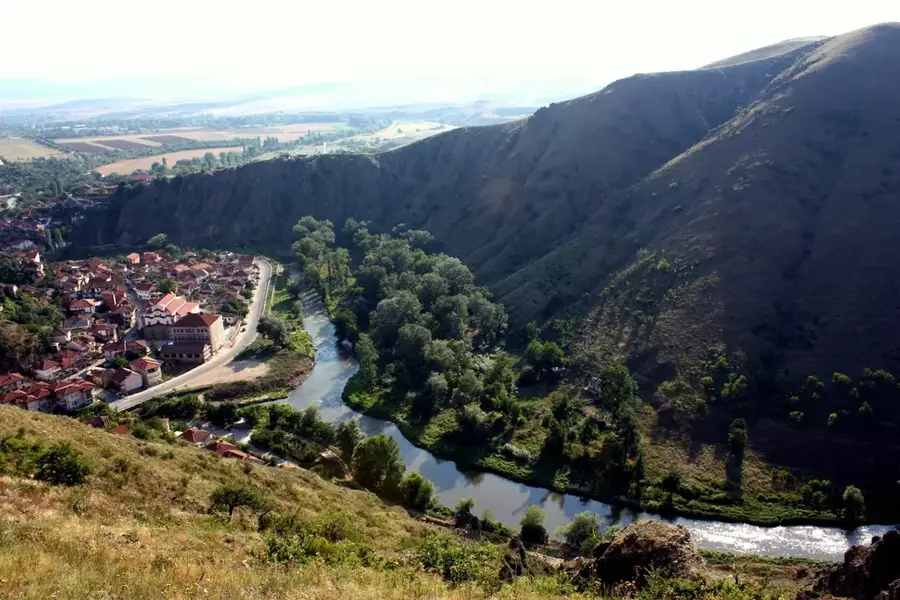
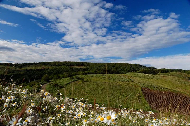
The Vardar is the longest and most important river in North Macedonia, and its section near Gradsko plays a vital role in the region's geography and economy. In this area, the river flows through a wide valley renowned for its fertile soils and intensive viticulture. Historically, the Vardar served as a major trade route connecting the Balkan hinterland with the Aegean Sea. Near Gradsko, the river meets its tributary, the Crna Reka, which established the strategic importance of the location for ancient settlements like Stobi. The river regulates the local microclimate and provides the necessary water for irrigating the surrounding fields and vineyards. Despite modern ecological challenges, the Vardar remains the ecological backbone of the country and a symbol of national identity, while its course near Gradsko characterizes the gentle transitional landscape of Central Macedonia.
- Location: North Macedonia
- Top sights: Gradsko Municipality · Gradsko, North Macedonia
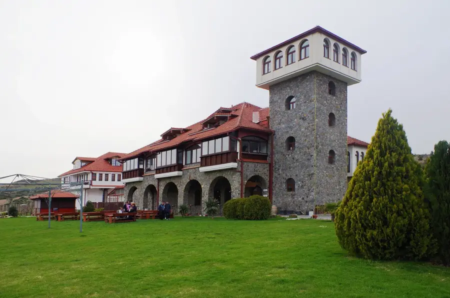
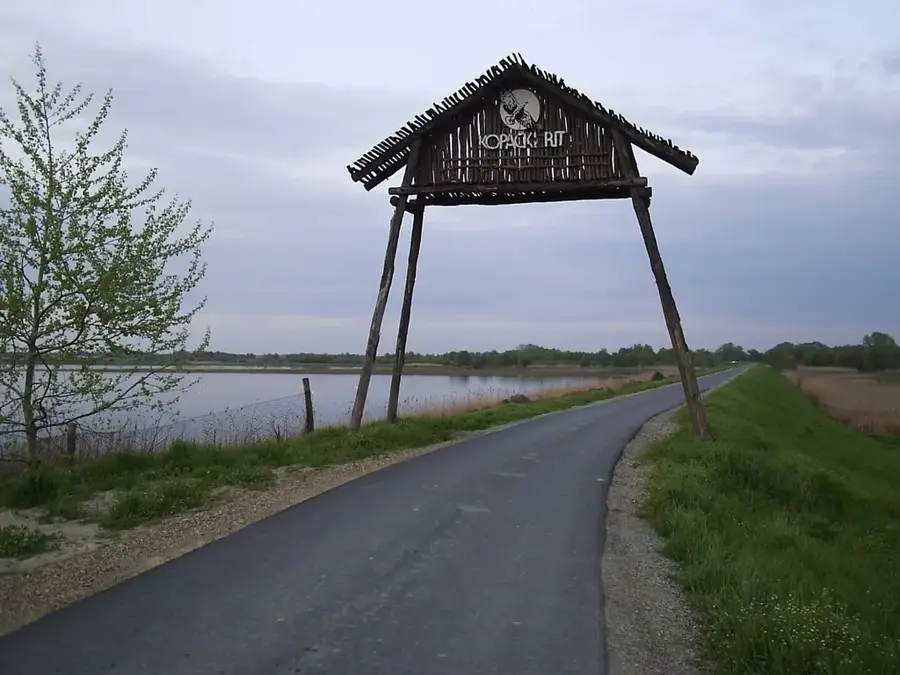
- Nearby: Drenovo Orchards (16 km)
Best time to visit & climate
The most pleasant time to visit is Jun, Jul, Sep.
| Jan | Feb | Mar | Apr | May | Jun | Jul | Aug | Sep | Oct | Nov | Dec | |
|---|---|---|---|---|---|---|---|---|---|---|---|---|
| Avg °C | 0 | 2 | 6 | 11 | 16 | 21 | 24 | 24 | 19 | 13 | 7 | 1 |
| Rain mm | 53 | 46 | 52 | 57 | 67 | 59 | 41 | 45 | 54 | 61 | 57 | 60 |
📋 Practical info
Geography
Facts
- The Vardar river has a total length of 388 kilometers.
- The Crna Reka joins the Vardar near Gradsko.
- The valley is a key wine-growing area (Tikveš region).
- From here, the river flows towards Thessaloniki in Greece.
- The river gives its name to the characteristic Vardaris wind.
- Historically, the river was important for raft transportation.
Explore nearby
Notable places around
Route planner — Car & Motorhome
Where do you start? We build the route here, with stops and country notes along the way.
© OpenStreetMap contributors · OpenRouteService
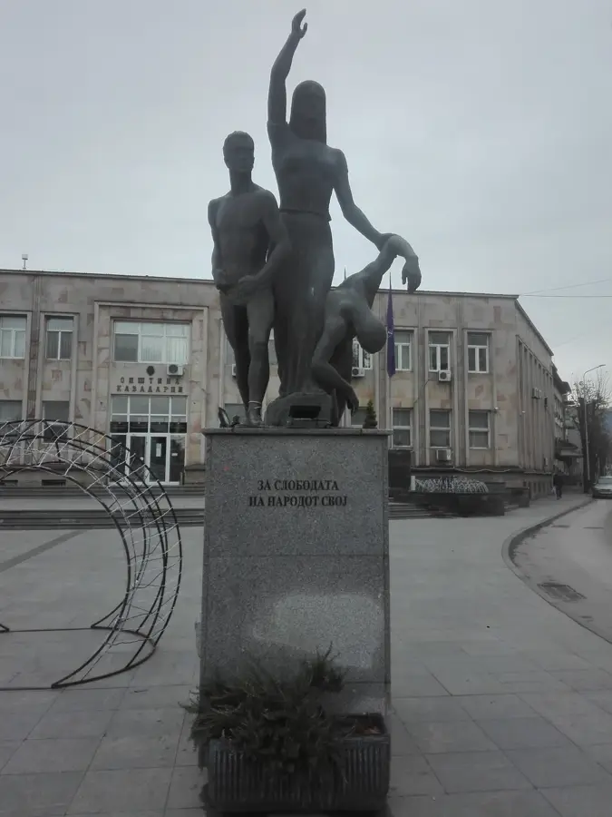
Sights in the town Vardar near Gradsko (2)
Sights nearby
Frequently asked questions
Can you walk by the Vardar in Gradsko?
What birds can be seen here?
Is the Vardar deep here?
How far is the river from the ancient city of Stobi?
Are there restaurants on the riverbank?
Vardar near Gradsko: where is it located?
Vardar near Gradsko: what is there to see?
Vardar near Gradsko: when is the best time to visit?
Vardar near Gradsko: why is it worth visiting?

Nearby cities


History & landmarks


Nature

More places