Plizio Visual Lab
Isar Fortress
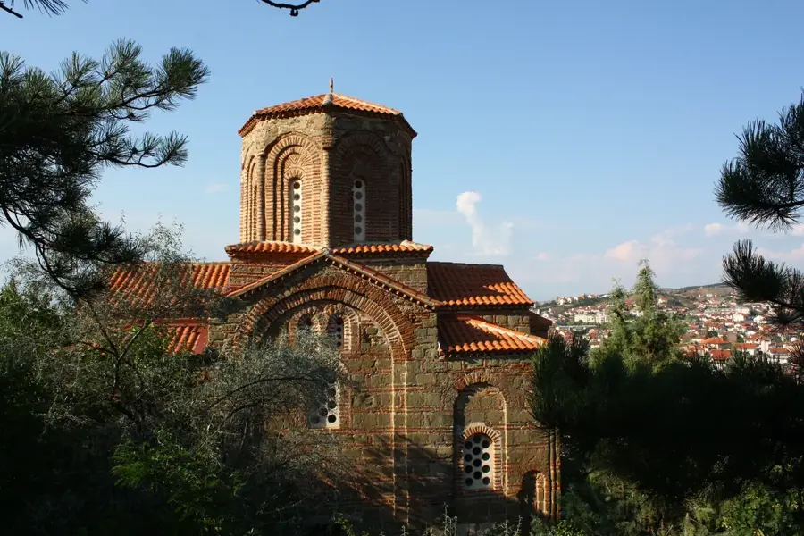
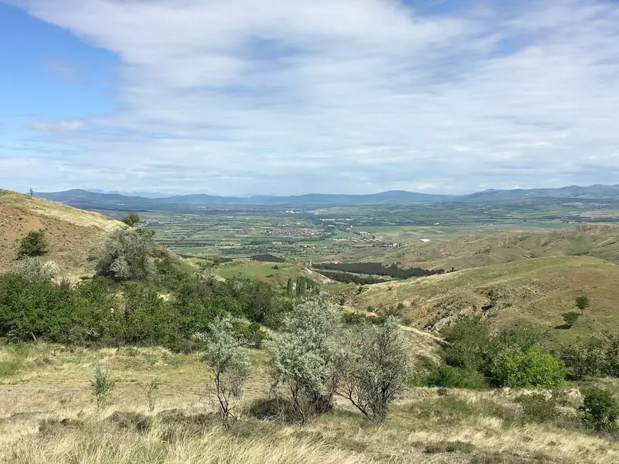
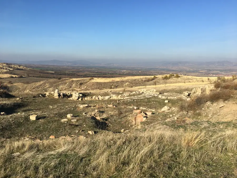
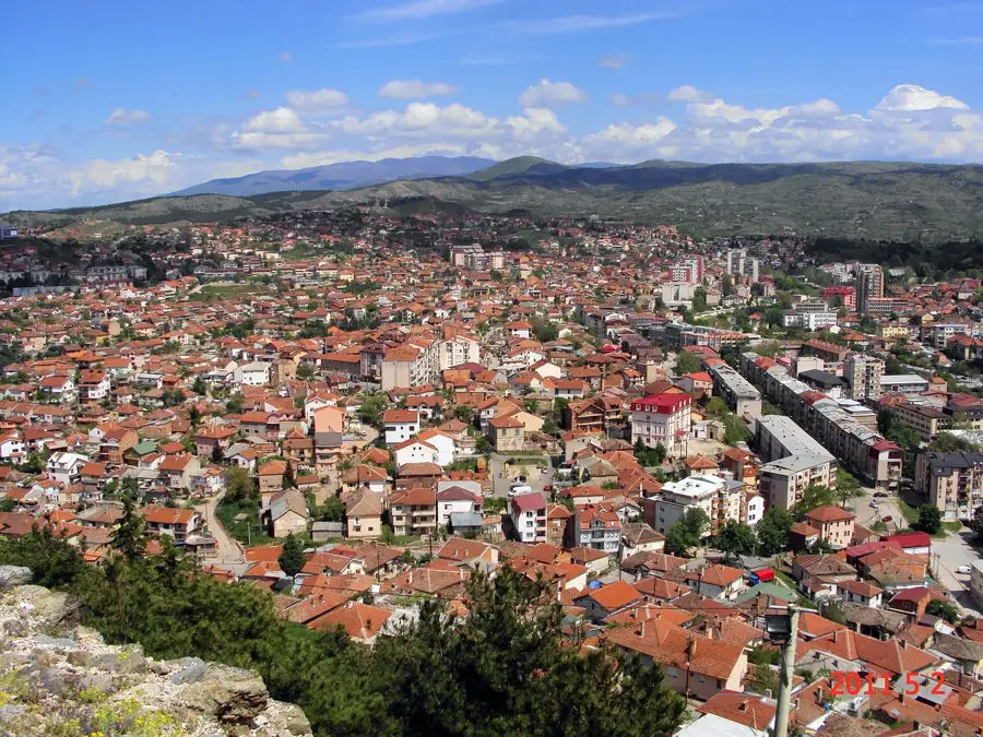
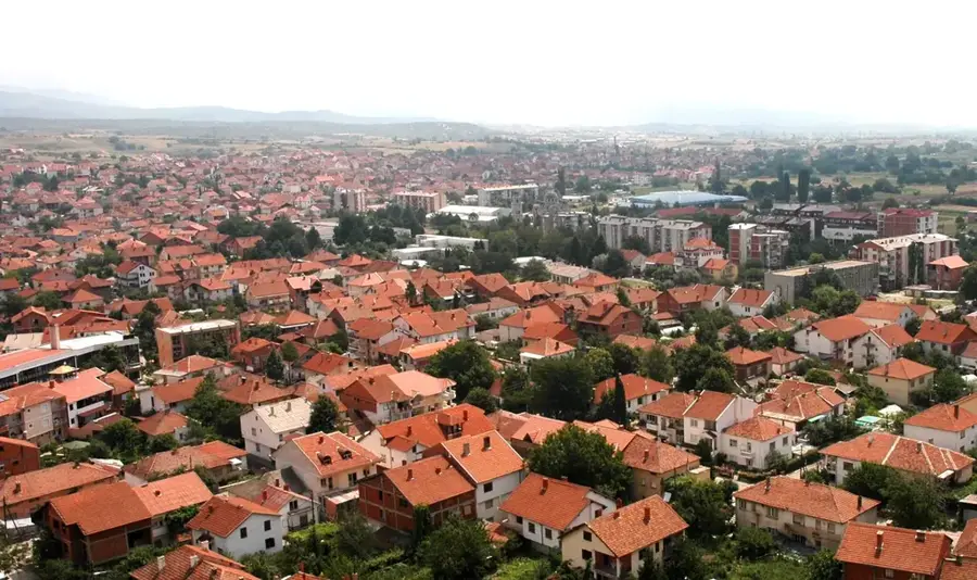
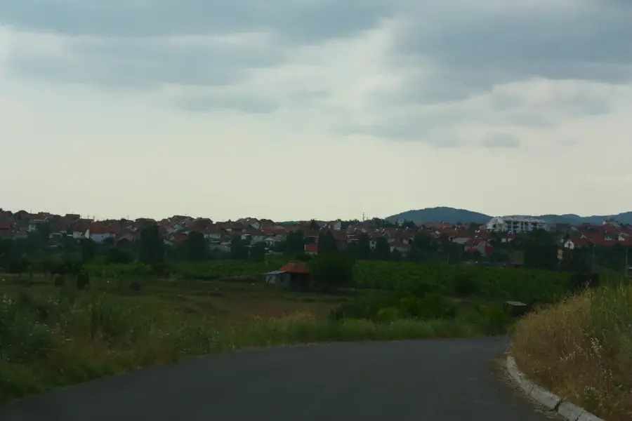
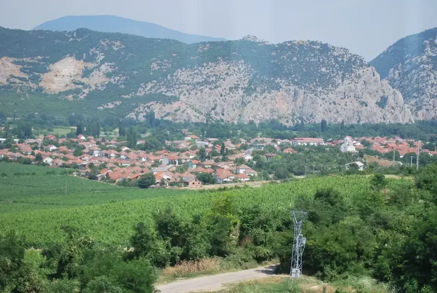
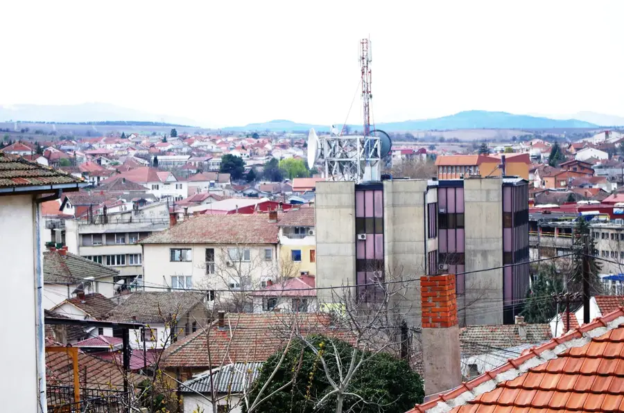
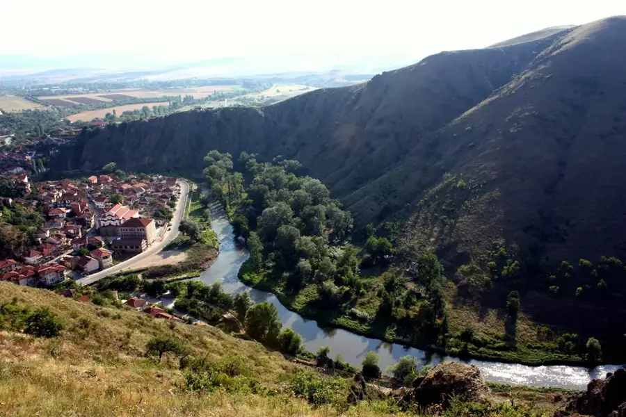
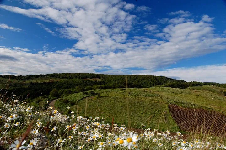
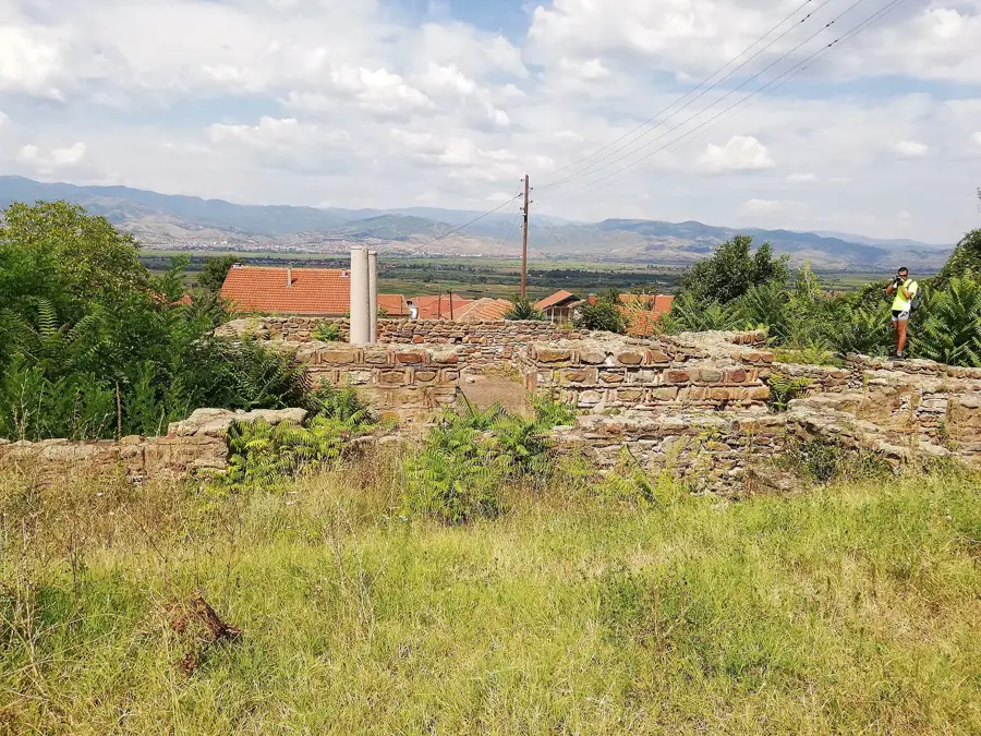
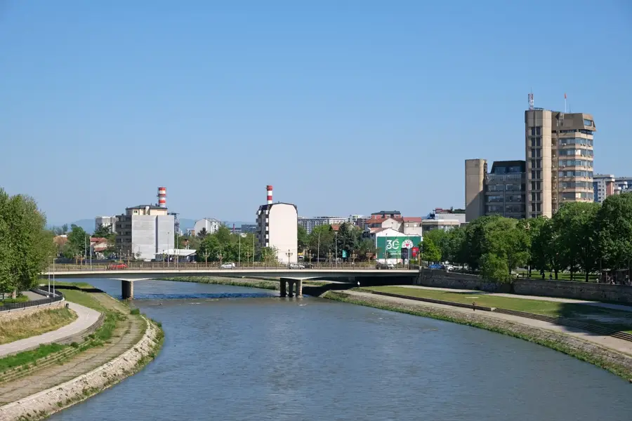
The Isar Fortress is situated on a steep hill, 150 meters high, overlooking the confluence of the Bregalnica and Otinja rivers in the city of Štip. The remains visible today mostly date back to the 14th century, when the despot Hrelja reinforced the structure under the reign of Tsar Stefan Dušan. Archaeological research, however, proves continuous settlement since the early Iron Age and the existence of a late Roman fortification known as Astibo. The citadel walls enclose an area of approximately 0.6 hectares and were constructed using quarry stone and lime mortar. Several churches were originally located within the complex, including the Church of Saint Archangel Michael, whose ruins are still partially preserved. As a strategic control point, the fortress secured access to the central regions of North Macedonia and played a key role in conflicts between Serbia, Byzantium, and the Ottoman Empire. Today, Isar is the most prominent historical landmark of Štip and has an extensive view of the modern cityscape.
- Location: North Macedonia
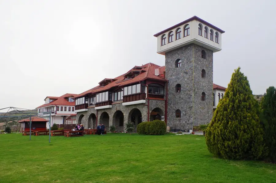
- Top sights: Spa-Center "Kezovica" · Dormition of the Holy Mother of God · Holy Salvation
- Nearby: Sveti Nikole (25 km)
Best time to visit & climate
The most pleasant time to visit is Jun, Jul, Sep.
| Jan | Feb | Mar | Apr | May | Jun | Jul | Aug | Sep | Oct | Nov | Dec | |
|---|---|---|---|---|---|---|---|---|---|---|---|---|
| Avg °C | 0 | 2 | 6 | 11 | 16 | 21 | 24 | 24 | 19 | 13 | 7 | 1 |
| Rain mm | 53 | 46 | 52 | 57 | 67 | 59 | 41 | 45 | 54 | 61 | 57 | 60 |
📋 Practical info
Geography
Facts
- The fortress is located at an elevation of 150 meters above the Bregalnica riverbed.
- The current structure was massively expanded around the year 1341 by Despot Hrelja.
- The citadel plateau covers a fortified area of approximately 6,000 square meters.
- The medieval Church of Saint Archangel Michael was located within the fortress walls.
- The city at the base of the hill was known as Astibo in antiquity and Štip in the Middle Ages.
- Systematic archaeological excavations to uncover the defensive walls began in 2008.
Explore nearby
Notable places around
Route planner — Car & Motorhome
Where do you start? We build the route here, with stops and country notes along the way.
© OpenStreetMap contributors · OpenRouteService
Sights in the town Isar Fortress (4)
Sights nearby
Frequently asked questions
What view do you have from the Isari Fortress?
When was the Isari Fortress built?
How do you get to the fortress?
What does the name Isar mean?
When is the best time to visit?
Isar Fortress: where is it located?
Isar Fortress: what is there to see?
Isar Fortress: when is the best time to visit?
Isar Fortress: why is it worth visiting?

Nearby cities
History & landmarks


Nature


More places