Plizio Visual Lab
Vardar Valley

Weather…
Water temperature…
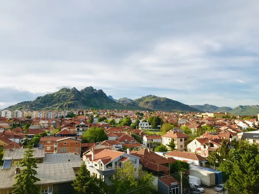
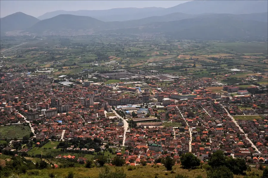
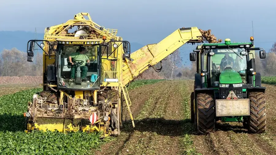
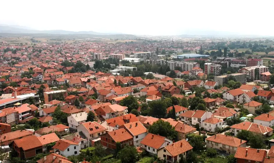
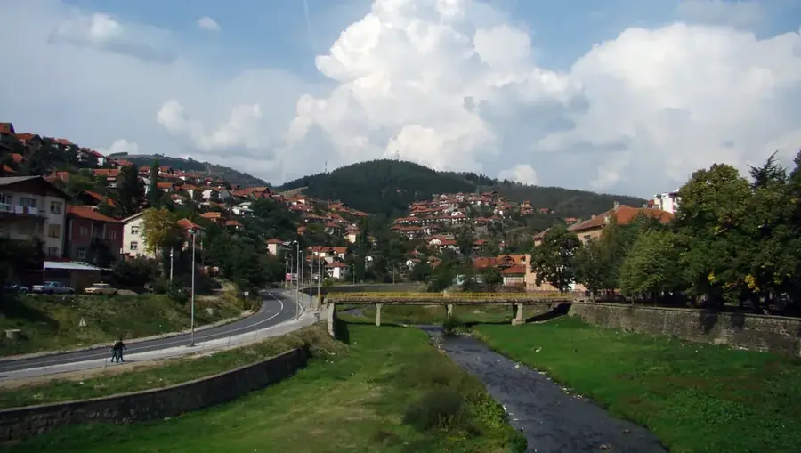
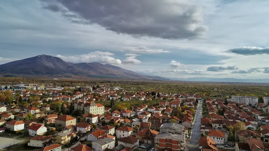
The Vardar Valley forms the geographic backbone of North Macedonia, serving as the primary river valley and transport corridor of the central Balkans. The Vardar River, the longest in the country, has carved a broad tectonic depression that links Central Europe with the Aegean Sea. The valley is characterized by a sequence of fertile basins, such as those of Skopje, Veles, and Gevgelija, separated by dramatic limestone gorges. These basins are the agricultural heartland of North Macedonia, producing significant quantities of grapes, tobacco, and early-season vegetables due to the favorable climate. Historically, the valley was known to the Romans as the Via Axia and has been a strategic route for armies and traders for millennia. The climate shifts from continental in the north to a semi-Mediterranean influence in the south, creating diverse ecological zones along the riverbanks. Today, the Vardar Valley hosts the nation's most vital infrastructure, including major highways and railways that form part of the Pan-European Corridor X.
- Location: North Macedonia
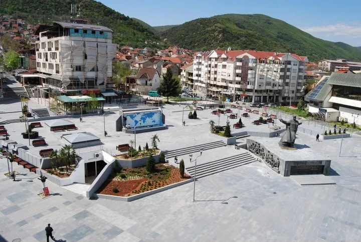
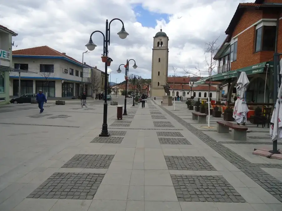
- Nearby: Kavadarci (8 km)
Best time to visit & climate
The most pleasant time to visit is Jun, Jul, Sep.
| Jan | Feb | Mar | Apr | May | Jun | Jul | Aug | Sep | Oct | Nov | Dec | |
|---|---|---|---|---|---|---|---|---|---|---|---|---|
| Avg °C | 0 | 2 | 6 | 11 | 16 | 21 | 24 | 24 | 19 | 13 | 7 | 1 |
| Rain mm | 53 | 46 | 52 | 57 | 67 | 59 | 41 | 45 | 54 | 61 | 57 | 60 |
📋 Practical info
Geography
Facts
- The Vardar River flows for 301 kilometers within North Macedonian borders.
- The valley hosts the Pan-European Corridor X, a vital trade route.
- It accounts for nearly 80% of the country's total wine production.
- The valley's elevation drops from 683m at its start to 44m at the Greek border.
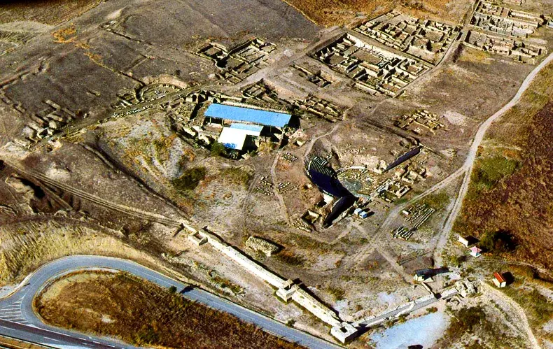
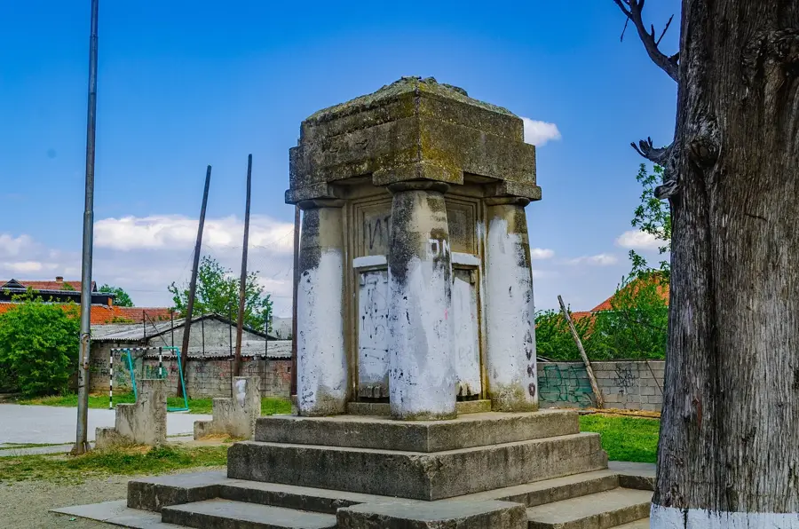
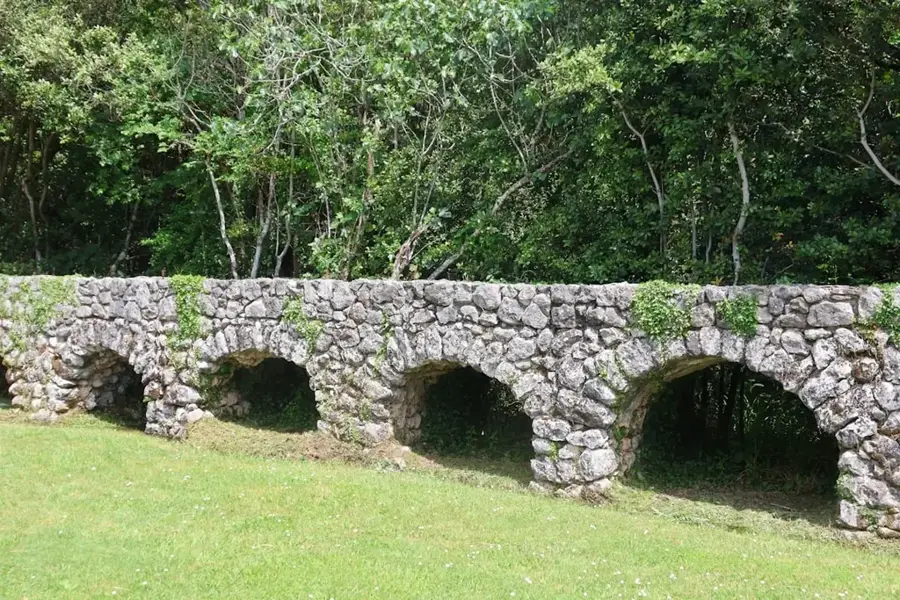
- Archaeological sites like Stobi are located directly within the valley.
- The Vardar Valley is the only natural passage through the Balkan mountains.
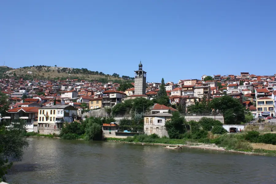
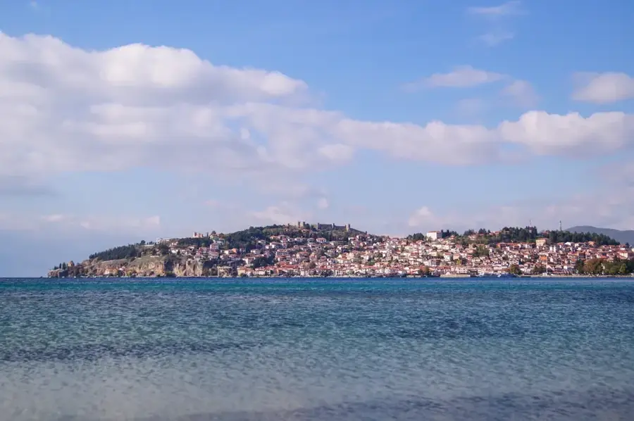
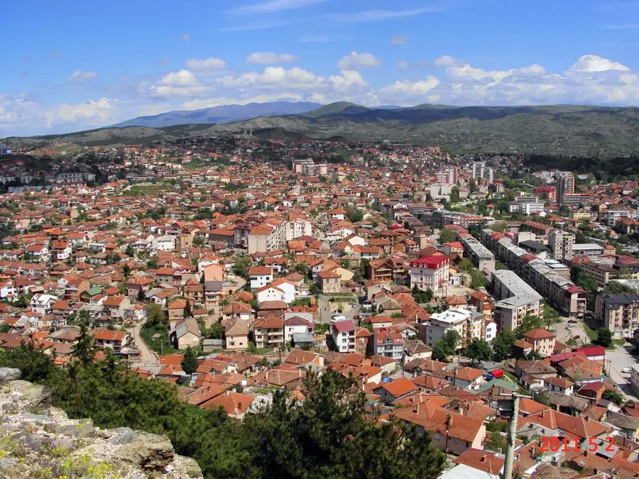
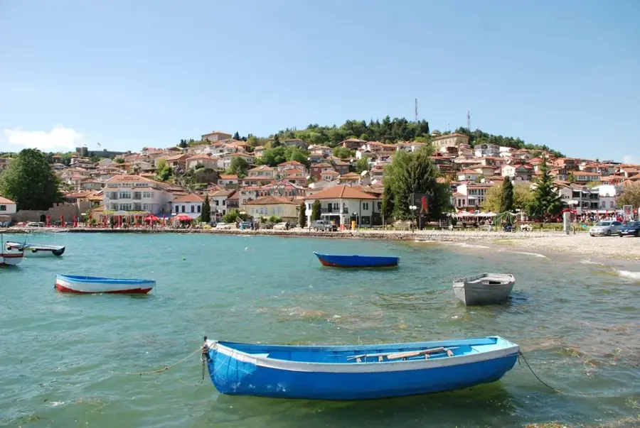
Explore nearby
Notable places around
Route planner — Car & Motorhome
Where do you start? We build the route here, with stops and country notes along the way.
© OpenStreetMap contributors · OpenRouteService
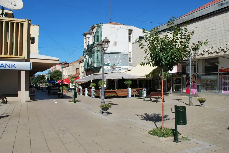
Sights in the town Vardar Valley (1)
Sights nearby
Frequently asked questions
How important is the Vardar valley?
What kind of agriculture is practiced here?
What is Demir Kapija?
Are there ancient cities in the valley?
What is the climate like in the Vardar valley?
Vardar Valley: where is it located?
Vardar Valley: when is the best time to visit?
Vardar Valley: why is it worth visiting?

Nearby cities
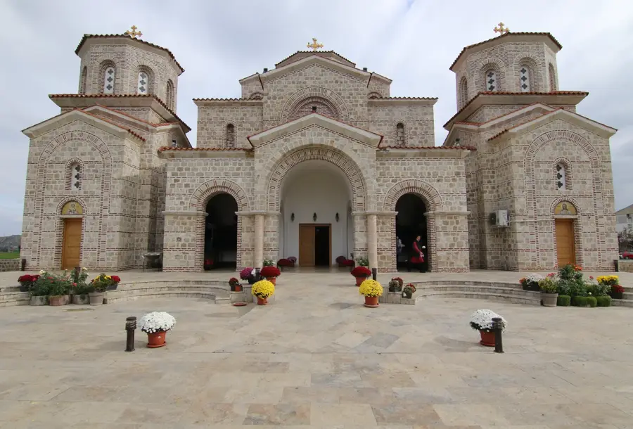
History & landmarks