Plizio Visual Lab
Todra Gorge
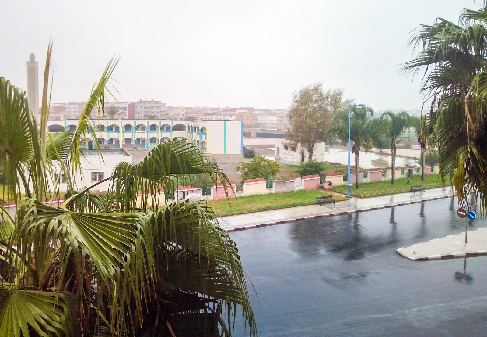
Weather…
Water temperature…
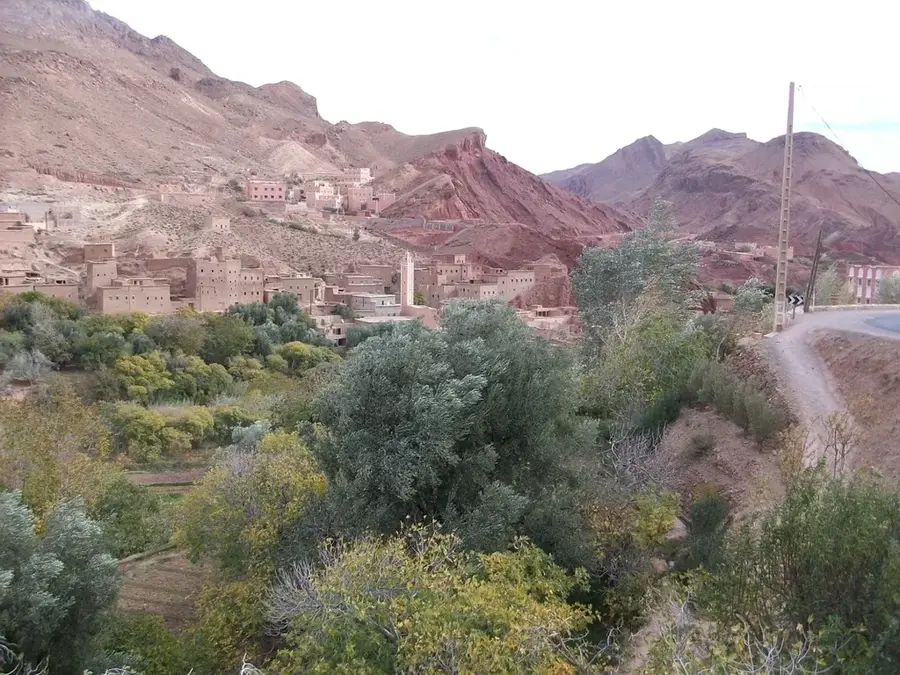
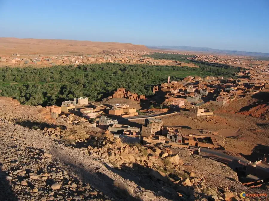
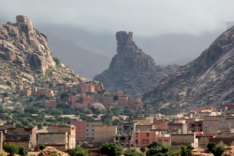
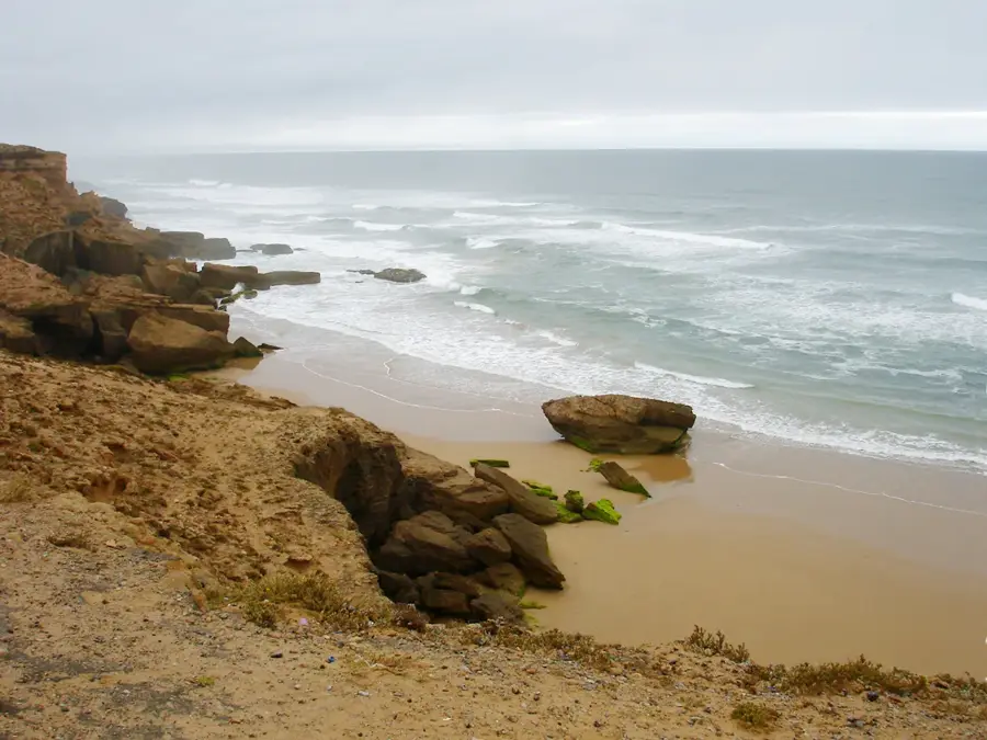
The Todra Gorge is a massive limestone canyon located in the eastern part of the High Atlas Mountains, near the town of Tinerhir. Over millions of years, the Todra and Dades rivers have carved this spectacular passage through the mountain range, resulting in cliff walls that rise up to 300 meters high. The most striking feature of the gorge is its narrowest section, where the gap between the vertical rock faces shrinks to just 10 meters wide. The crystal-clear water of the Todra River flows year-round through the canyon floor, sustaining the vast palm groves of the Tinerhir oasis downstream. Geologically, the gorge consists of reddish Jurassic limestone that shifts in color from bright orange to deep crimson depending on the sun's position. Historically, the gorge provided a natural defense for local Berber tribes and served as a vital transit point for regional trade caravans. Today, it is a world-renowned destination for rock climbing, featuring over 400 established routes on its stable rock faces. The combination of extreme verticality and the bustling greenery at the canyon's base makes it a unique natural monument.
- Location: Morocco
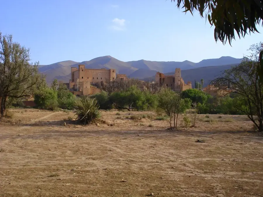
- Top sights: Coeur de la palmeraie · Ruines Ksar Ihjjamen · Vue sur la palmeraie et la vallée
- Nearby: Tinghir (7 km)
Best time to visit & climate
The most pleasant time to visit is May, Jun, Sep.
| Jan | Feb | Mar | Apr | May | Jun | Jul | Aug | Sep | Oct | Nov | Dec | |
|---|---|---|---|---|---|---|---|---|---|---|---|---|
| Avg °C | 5 | 6 | 10 | 13 | 18 | 22 | 26 | 25 | 20 | 15 | 9 | 6 |
| Rain mm | 13 | 17 | 28 | 17 | 19 | 8 | 7 | 17 | 29 | 25 | 22 | 14 |
📋 Practical info
Geography
Facts
- The rock walls reach a maximum vertical height of 300 meters.
- At its narrowest point, the gorge is only 10 meters wide.
- The red limestone formations date back to the Jurassic period.
- There are more than 400 established rock climbing routes in the gorge.
- The Todra River's water is essential for the 30-km-long Tinerhir oasis.
- The gorge is located approximately 15 kilometers from Tinerhir's center.
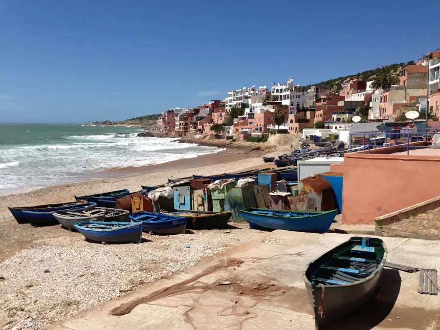
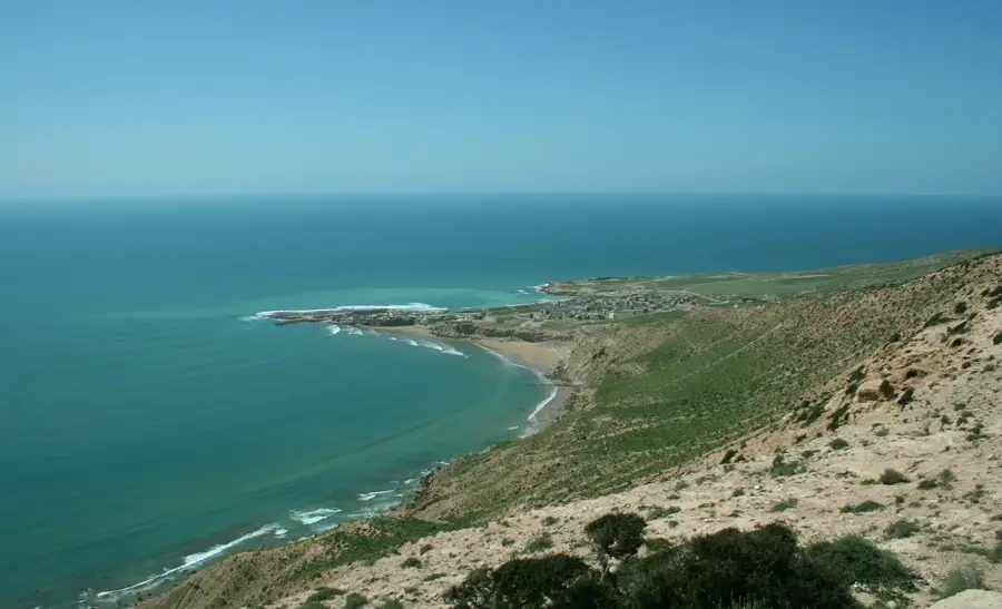
Explore nearby
Notable places around
Route planner — Car & Motorhome
Where do you start? We build the route here, with stops and country notes along the way.
© OpenStreetMap contributors · OpenRouteService
Sights in the town Todra Gorge (7)
Sights nearby
Frequently asked questions
What is special about Todra Gorge?
Is it suitable for climbers?
How is the road there?
Are there souvenir shops?
Is it a good place for walking?
Todra Gorge: where is it located?
Todra Gorge: what is there to see?
Todra Gorge: when is the best time to visit?
Todra Gorge: why is it worth visiting?

Nearby cities

Nature
More places