Plizio Visual Lab
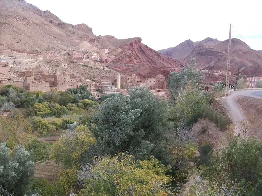
Dadès Valley
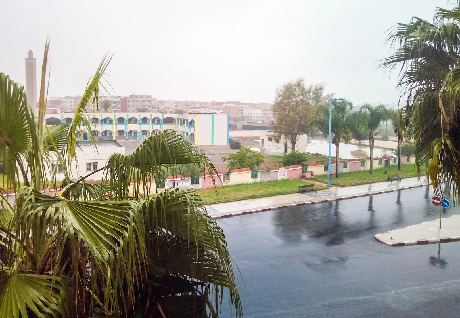
Weather…
Water temperature…
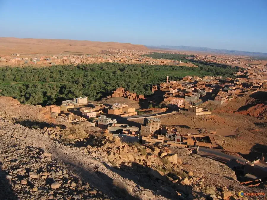
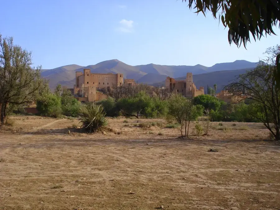
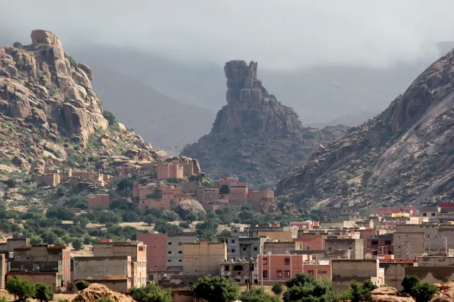
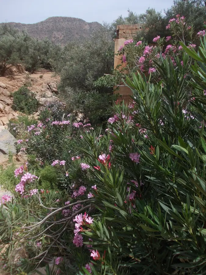
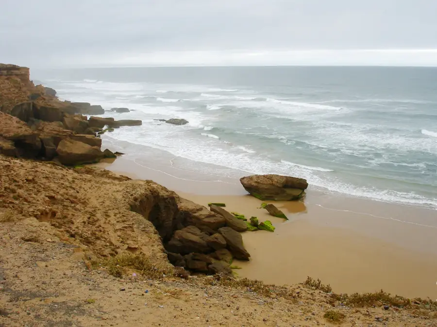
The Dadès Valley in southern Morocco stretches between the High Atlas Mountains and the Jebel Sarhro range, carved out over millennia by the Dadès River. It is a central part of the famous "Route of a Thousand Kasbahs," characterized by numerous traditional Berber fortifications built from distinctive red earth and stone. Geologically, the valley is renowned for its surreal rock formations, such as the "Monkey Fingers," and its deep canyons formed during the Tertiary period. The fertile riverbanks support intensive oasis agriculture, producing olives, figs, and the Damask roses used in international perfumery. Historically, the valley functioned as a crucial trade corridor for caravans traveling between the Sahara Desert and the imperial cities of the north. Today, the dramatic serpentine road at the valley's upper reaches is considered one of the most spectacular mountain passes globally. The region remains a vital center for Berber culture, maintaining traditional architectural styles and agricultural techniques.
- Location: Morocco
- Top sights: Gorges de Sidi Boubkere · Monkey Fingers Viewpoint · fenêtre rocheuse
- Nearby: Dades Gorge (20 km)
Best time to visit & climate
The most pleasant time to visit is Jun–Aug.
| Jan | Feb | Mar | Apr | May | Jun | Jul | Aug | Sep | Oct | Nov | Dec | |
|---|---|---|---|---|---|---|---|---|---|---|---|---|
| Avg °C | 4 | 5 | 8 | 11 | 15 | 20 | 24 | 23 | 19 | 14 | 7 | 4 |
| Rain mm | 24 | 28 | 44 | 27 | 22 | 8 | 7 | 16 | 30 | 32 | 43 | 28 |
📋 Practical info
Geography
Facts
- The valley is situated at an average elevation of 1,500 meters above sea level.
- The R704 road features dramatic switchbacks rising sharply up the cliffside.
- The annual Rose Festival in El Kelaâ M'Gouna takes place every May.
- The Monkey Fingers rock formations are composed of sedimentary conglomerates.
- The valley's Kasbahs were historically built without using modern cement.
- The Dadès River originates in the High Atlas and flows into the Draa River.
Explore nearby
Notable places around
Route planner — Car & Motorhome
Where do you start? We build the route here, with stops and country notes along the way.
© OpenStreetMap contributors · OpenRouteService
Sights in the town Dadès Valley (5)
Sights nearby
Frequently asked questions
What is the Dadès Valley famous for?
Are there good photo spots?
How long do I need for a visit?
Is it safe to hike?
Are there simple food options there?
Dadès Valley: where is it located?
Dadès Valley: what is there to see?
Dadès Valley: when is the best time to visit?
Dadès Valley: why is it worth visiting?

Nearby cities

Nature
More places