Plizio Visual Lab
Kucka Korita

Weather…
Water temperature…
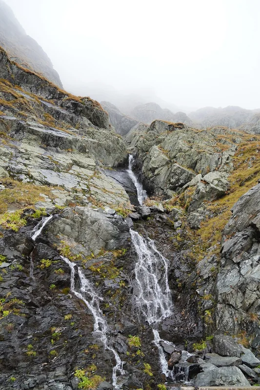
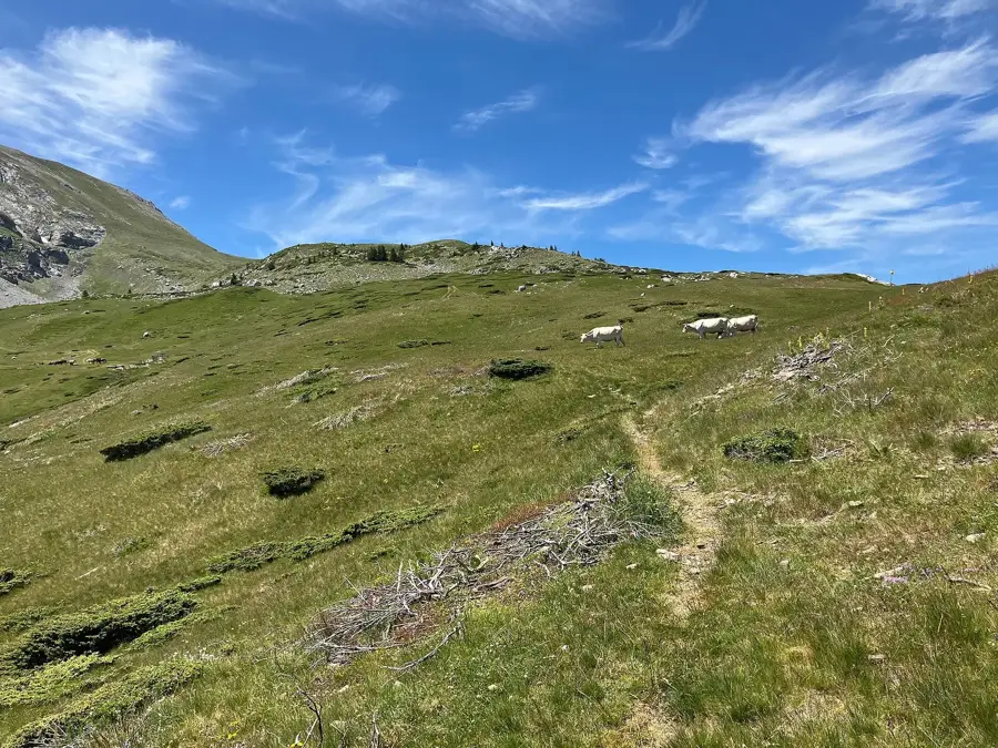
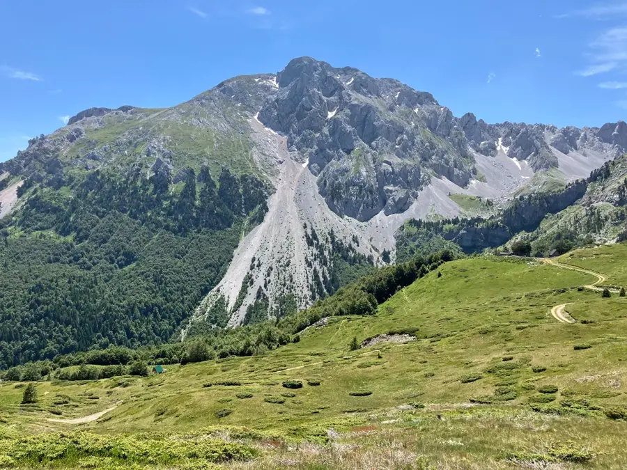
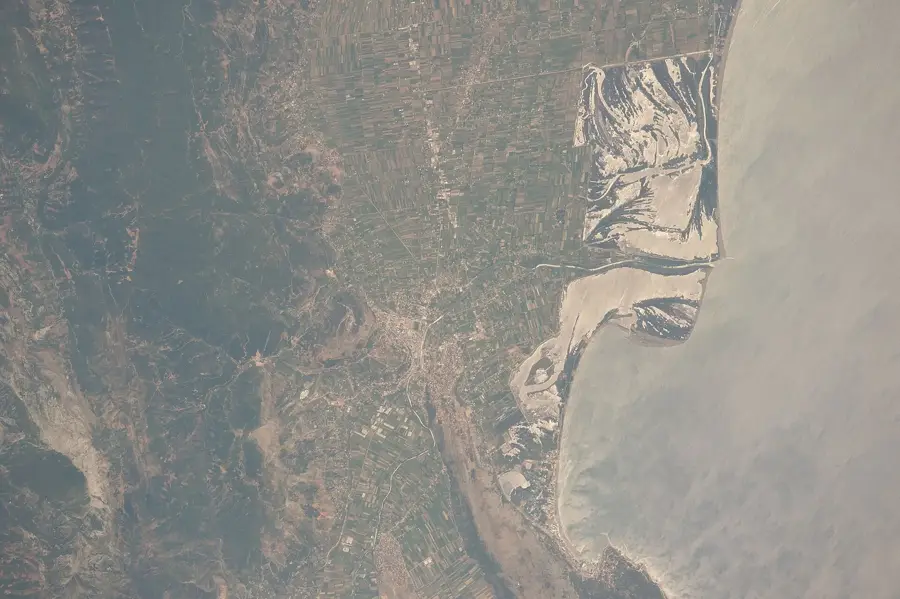
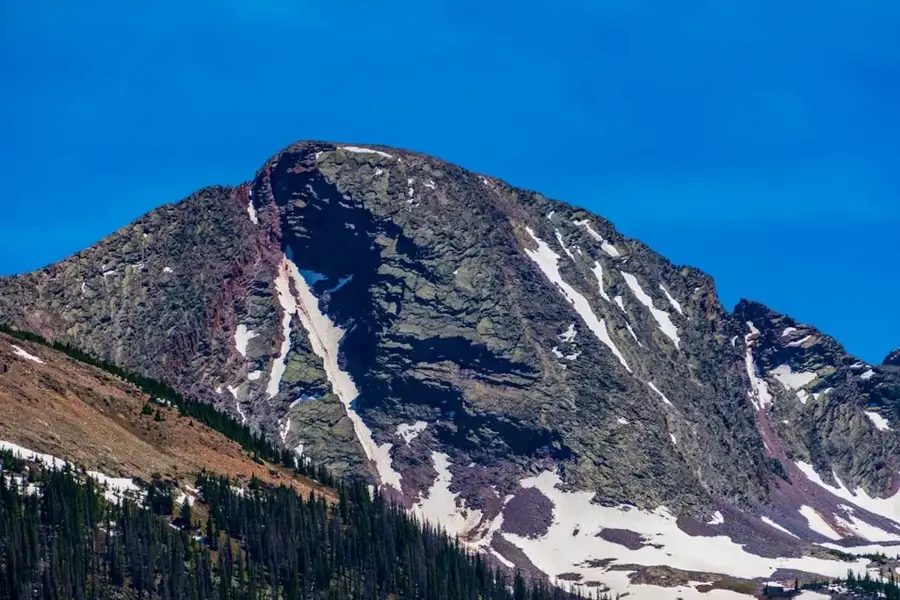
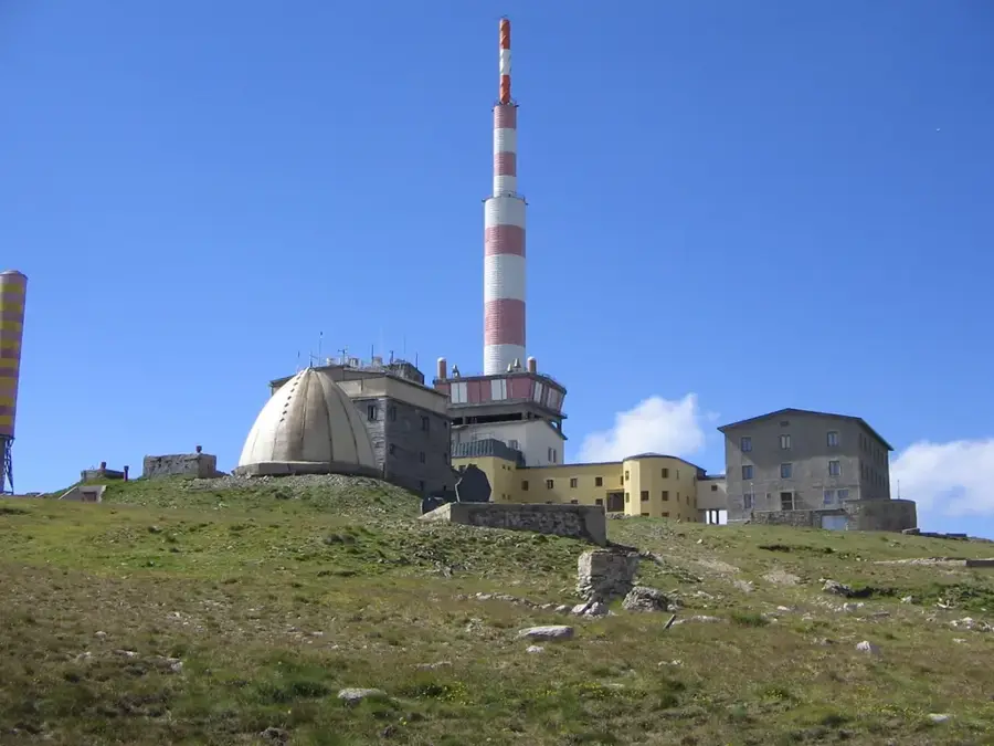
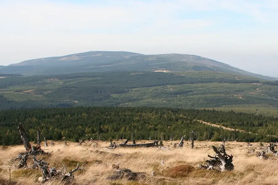
Kučka Korita is an impressive high plateau landscape in the Kuči Mountains of eastern Montenegro, located about 30 kilometers from the capital Podgorica at an elevation of 1350 meters. The region is part of the 'Circuit of Montenegrin Identity' (Krug oko Korita), a popular panoramic driving route. Geologically, the plateau is marked by extreme karst formations, sinkholes, and underground water channels typical of the Dinaric Alps. Historically, Kučka Korita was a vital place of refuge for the local population during armed conflicts and served as the primary summer grazing area for the Kuči tribe. The climate on the plateau is significantly cooler than in the Podgorica plain, making it a favorite excursion spot for city dwellers during the summer months. One of the region's most spectacular viewpoints is 'Grlo Sokolovo' (Falcon's Throat), offering a view over 1000 meters down into the Cijevna Canyon and across to the Albanian Alps. The vegetation is sparse but hosts numerous endemic mountain plants. Today, the settlement on the plateau is characterized by a mix of traditional stone houses and modern weekend cottages.
- Location: Montenegro
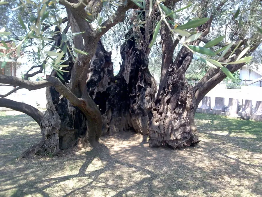
- Top sights: Kariman · Krisitor · Smojan
- Nearby: Gusinje (24 km)
Best time to visit & climate
The most pleasant time to visit is Jun–Aug.
| Jan | Feb | Mar | Apr | May | Jun | Jul | Aug | Sep | Oct | Nov | Dec | |
|---|---|---|---|---|---|---|---|---|---|---|---|---|
| Avg °C | -1 | 1 | 4 | 8 | 13 | 17 | 21 | 21 | 16 | 11 | 6 | 1 |
| Rain mm | 154 | 148 | 141 | 103 | 92 | 70 | 44 | 44 | 113 | 140 | 194 | 177 |
📋 Practical info
Geography
Facts
- The plateau is situated at an elevation of 1350 meters above sea level.
- It is located only 30 kilometers northeast of the capital city, Podgorica.
- The Grlo Sokolovo viewpoint offers views of the Accursed Mountains (Prokletije).
- Traces of Illyrian settlements have been discovered in the region.
- The area is famous for its cool nights even during the height of summer.
- A 65-kilometer marked circular route is available for drivers and cyclists.
Explore nearby
Notable places around
Route planner — Car & Motorhome
Where do you start? We build the route here, with stops and country notes along the way.
© OpenStreetMap contributors · OpenRouteService
Sights in the town Kucka Korita (3)
Sights nearby
Frequently asked questions
What is the 'Circuit of Montenegrin Identity'?
How far is Kučka Korita from Podgorica?
Where can you find the best view?
Is there snow in Kučka Korita in winter?
Is the path to the viewpoint strenuous?
Kucka Korita: where is it located?
Kucka Korita: what is there to see?
Kucka Korita: when is the best time to visit?
Kucka Korita: why is it worth visiting?

Nearby cities


History & landmarks

Nature
More places