Plizio Visual Lab
Komovi Mountains
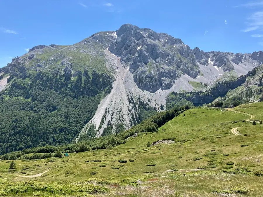
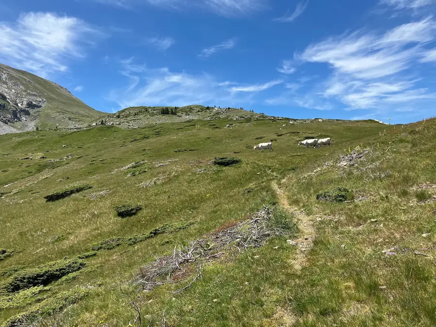
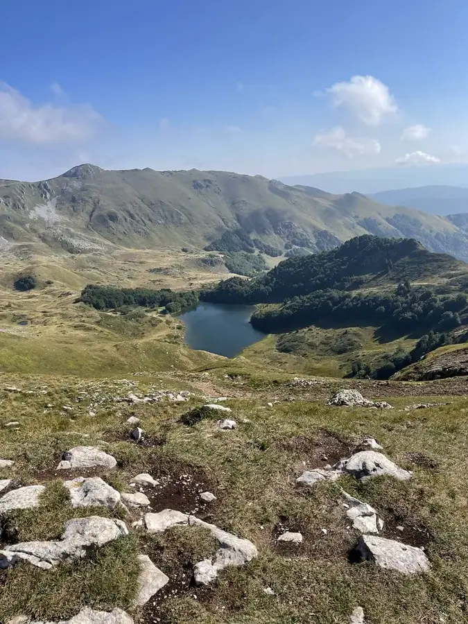
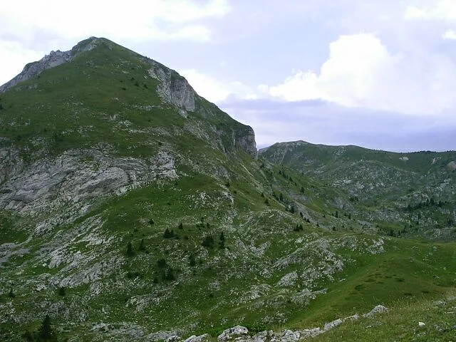
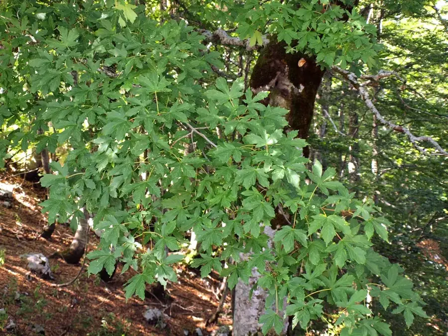
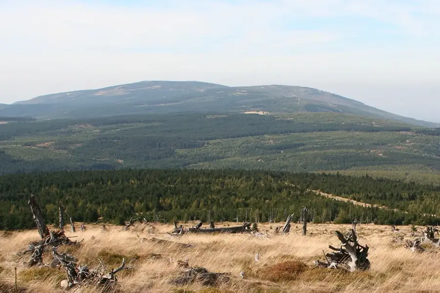
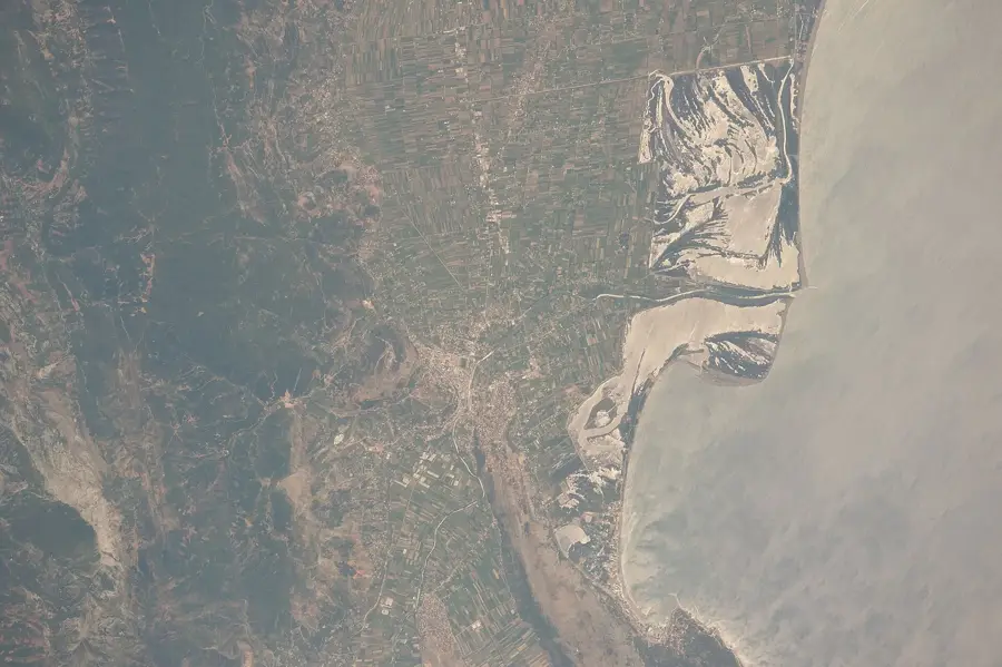
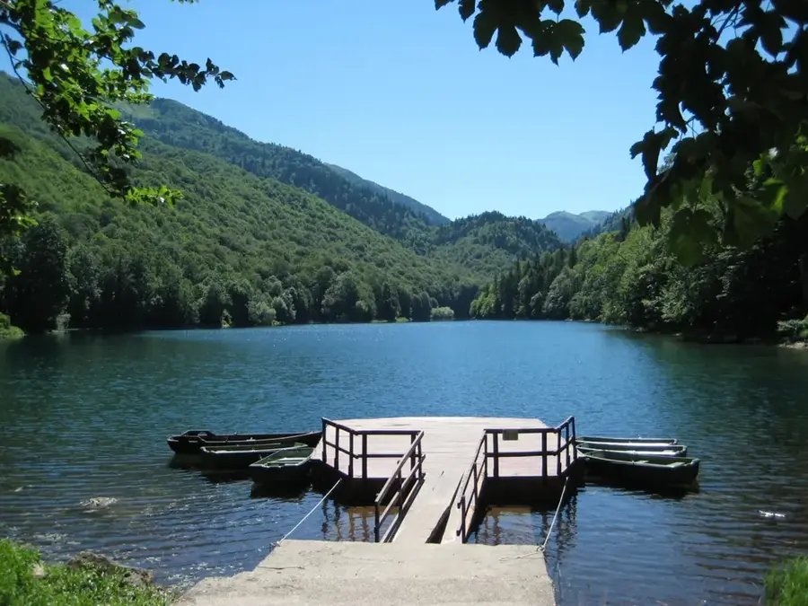
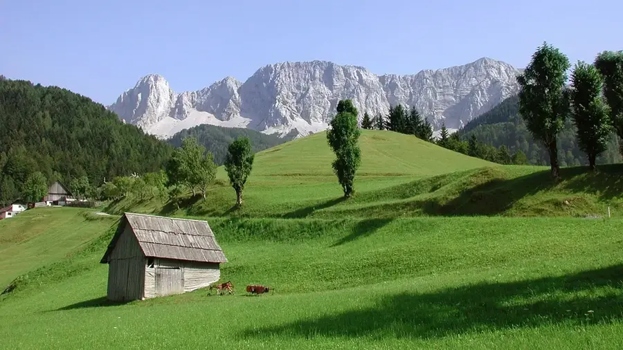
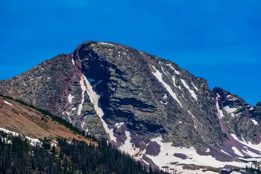
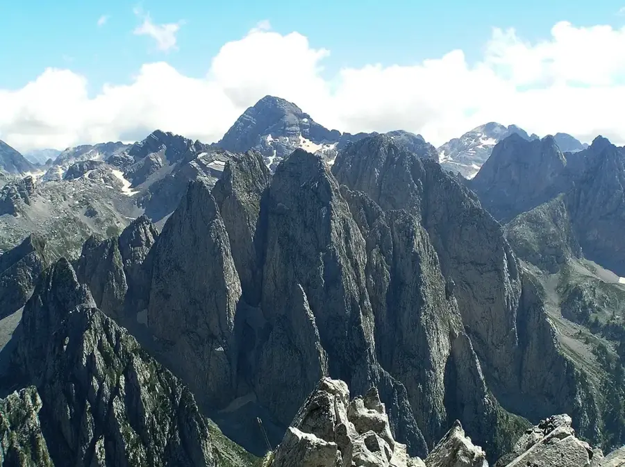
The Komovi Mountains are among the most impressive massifs of the Dinaric Alps in eastern Montenegro, known for their alpine peaks and vast plateaus. The range is defined by three main summits: Kom Kučki (2,487 m), Kom Ljevorečki (2,469 m), and Kom Vasojevički (2,461 m). Its geology is characterized by limestone rocks and evidence of past glaciations, manifested in deep glacial cirques and moraines. Lower elevations feature dense beech and coniferous forests, while higher zones are dominated by alpine meadows traditionally used as summer shepherd settlements known as katuns. The region is rich in endemic plant species and supports diverse wildlife, including chamois and golden eagles. Due to its isolated location, Komovi has largely preserved its pristine character, offering handy conditions for challenging mountaineering and trekking.
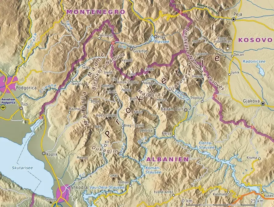
- Location: Montenegro
- Nearby: Andrijevica Agricultural Center (11 km)
Best time to visit & climate
The most pleasant time to visit is Jun–Aug.
| Jan | Feb | Mar | Apr | May | Jun | Jul | Aug | Sep | Oct | Nov | Dec | |
|---|---|---|---|---|---|---|---|---|---|---|---|---|
| Avg °C | -1 | 1 | 4 | 8 | 13 | 17 | 21 | 21 | 16 | 11 | 6 | 1 |
| Rain mm | 154 | 148 | 141 | 103 | 92 | 70 | 44 | 44 | 113 | 140 | 194 | 177 |
📋 Practical info
Geography
Facts
- The massif is situated between the Lim, Tara, and Drcka rivers.
- Kom Kučki is the highest peak in the group at 2,487 meters.
- The region was officially designated as a regional park in 2018.
- Numerous high-altitude springs can be found throughout the area.
- The mountain structure consists of Triassic limestone and dolomite.
- The katuns of Štavna are a well-known starting point for hikers.
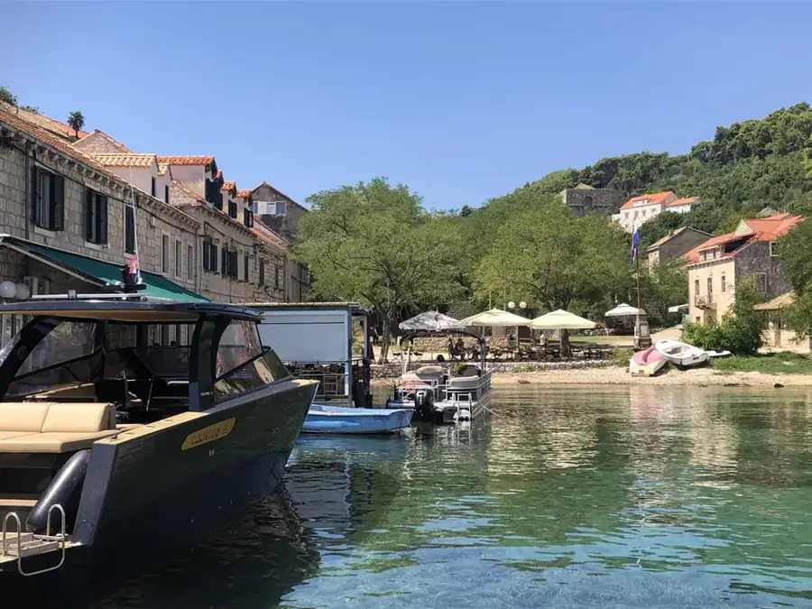
Explore nearby
Notable places around
Route planner — Car & Motorhome
Where do you start? We build the route here, with stops and country notes along the way.
© OpenStreetMap contributors · OpenRouteService
Sights nearby
Frequently asked questions
How many main peaks do the Komovi have?
Which peak is the easiest to climb?
Where do hikes in the Komovi start?
Are there water sources in the Komovi?
Can you stay overnight in the Komovi?
Komovi Mountains: where is it located?
Komovi Mountains: when is the best time to visit?
Komovi Mountains: why is it worth visiting?

Nearby cities


History & landmarks

Nature
More places