Plizio Visual Lab
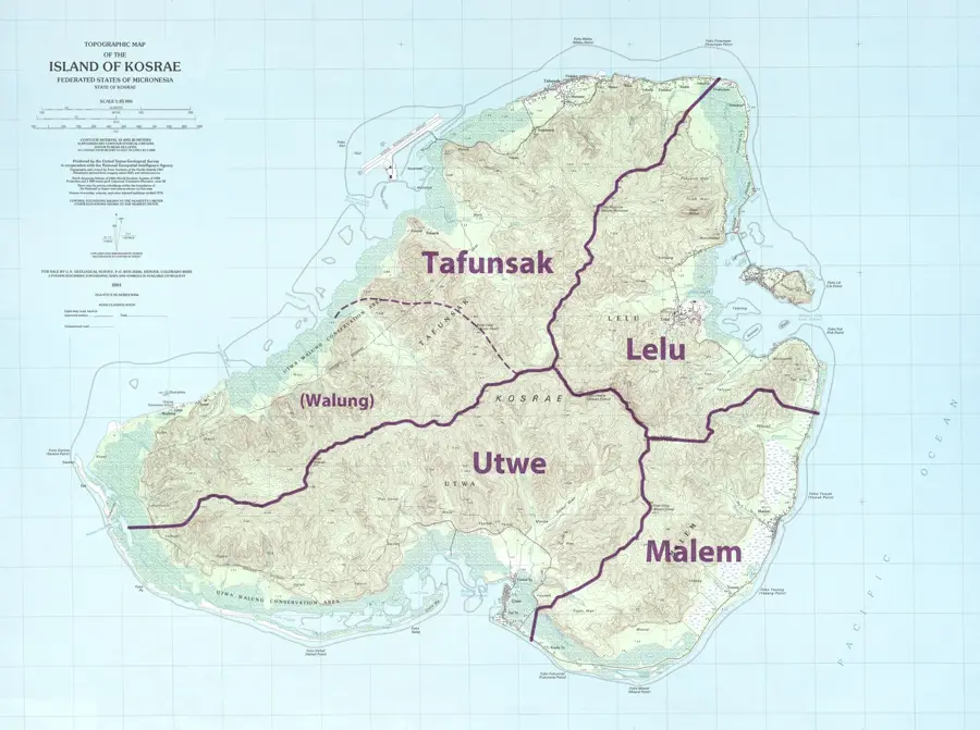
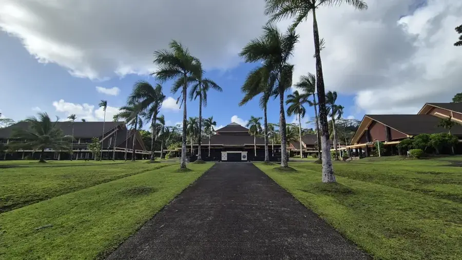
Okat River
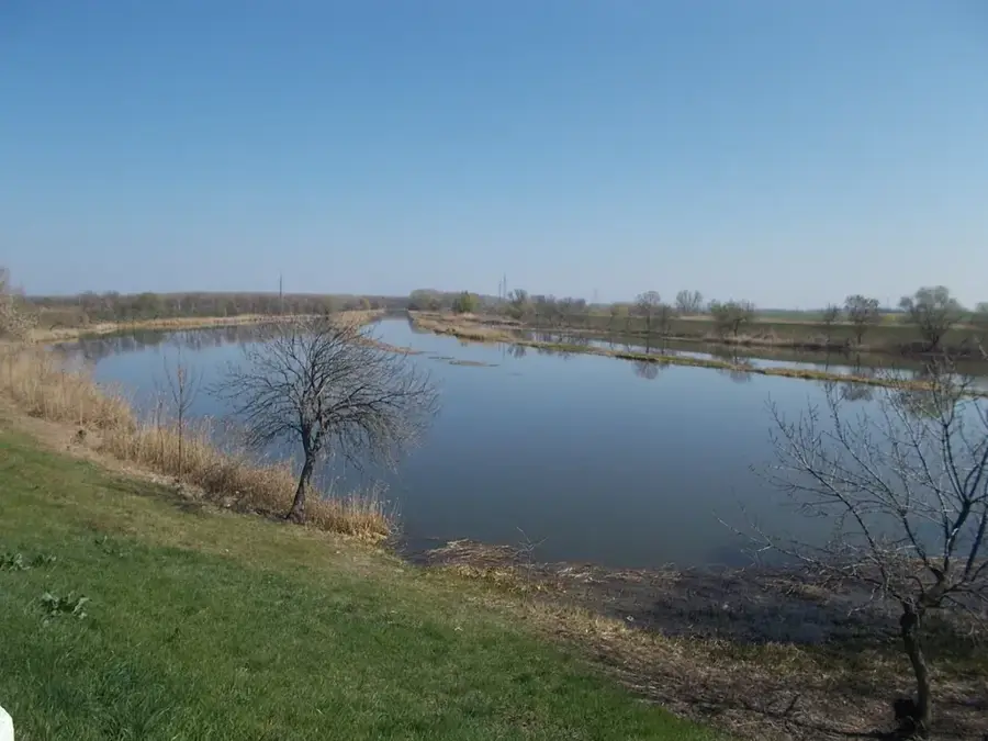
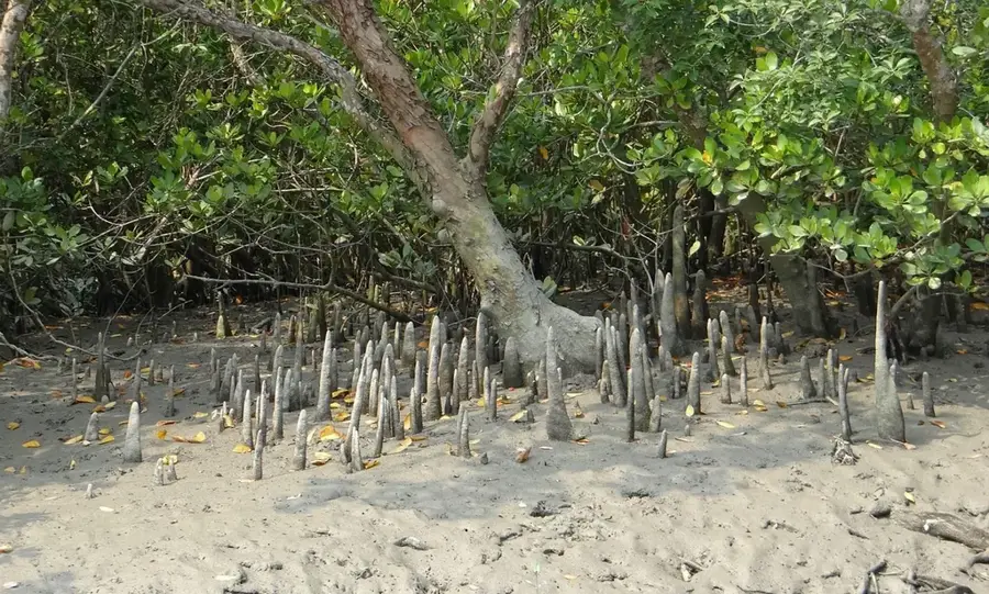
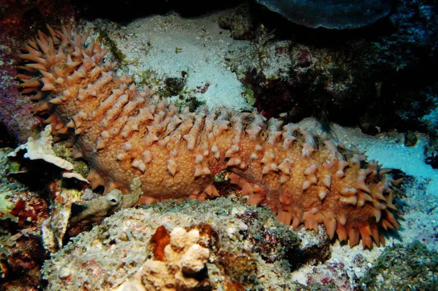
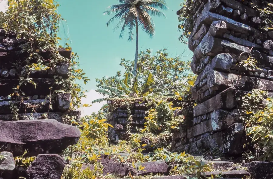
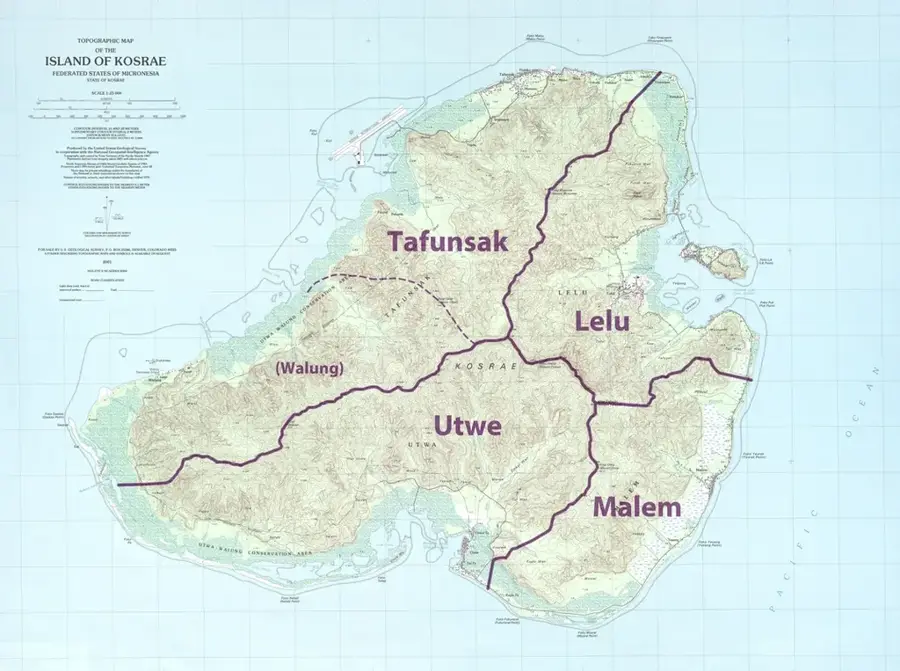
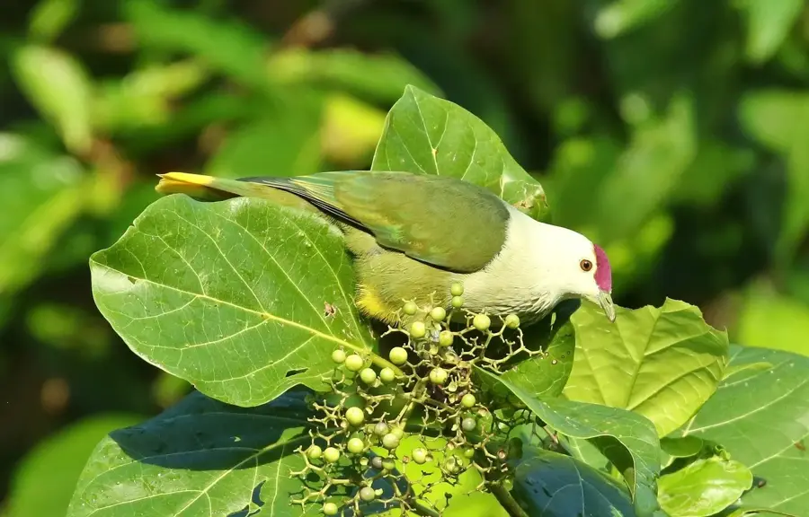
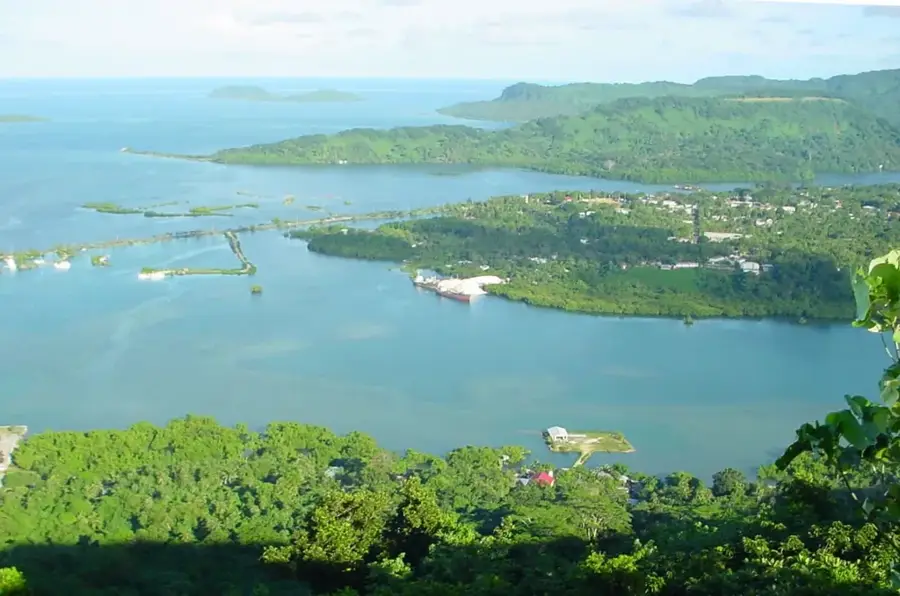
The Okat River is the premier waterway on the island of Kosrae, stretching through some of the most extensive and pristine mangrove forests in Micronesia. This river system acts as a natural sanctuary, providing a rich habitat for diverse wildlife, including the iconic mangrove crabs and various tropical bird species. As the river winds its way toward the Pacific Ocean, it creates a labyrinth of channels that are best explored by traditional canoe or kayak, allowing visitors to witness the complex root systems of the mangroves up close. The river's mouth is strategically located near the island's international airport, marking a dramatic transition from the lush interior to the open sea. Beyond its ecological importance, the Okat River is vital for the island's coastal protection, mitigating the impact of waves and preventing soil erosion. For those visiting Kosrae, the river provides a serene escape into a landscape that has remained largely unchanged for centuries, embodying the untouched beauty of the Pacific.
- Location: Micronesia
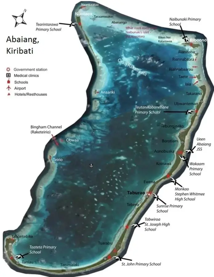
- Nearby: Tafunsak (4 km)
Best time to visit & climate
The most pleasant time to visit is Feb, Aug, Sep.
| Jan | Feb | Mar | Apr | May | Jun | Jul | Aug | Sep | Oct | Nov | Dec | |
|---|---|---|---|---|---|---|---|---|---|---|---|---|
| Avg °C | 28 | 28 | 28 | 28 | 28 | 28 | 28 | 28 | 28 | 28 | 28 | 29 |
| Rain mm | 255 | 223 | 261 | 350 | 292 | 248 | 256 | 224 | 226 | 226 | 253 | 304 |
📋 Practical info
Geography
Facts
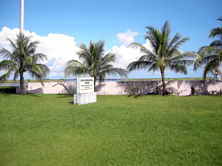
- Empties into the ocean near the Kosrae Airport
- Historically used for transporting agricultural goods
- Flows through some of the oldest mangrove stands
- A critical source of freshwater for the island
- Inhabited by rare endemic freshwater crabs
- Experiences strong currents during the tropical wet season
Explore nearby
Notable places around
Route planner — Car & Motorhome
Where do you start? We build the route here, with stops and country notes along the way.
© OpenStreetMap contributors · OpenRouteService
Sights in the town Okat River (1)
Sights nearby
Frequently asked questions
Where is the Okat River located?
Can you take boat tours on the river?
What is special about this river?
Are there crocodiles there?
Is the river suitable for swimming?
Okat River: where is it located?
Okat River: when is the best time to visit?
Okat River: why is it worth visiting?

Nearby cities


History & landmarks

Nature


More places