Plizio Visual Lab
Mount Nanlaud
Weather…
Water temperature…
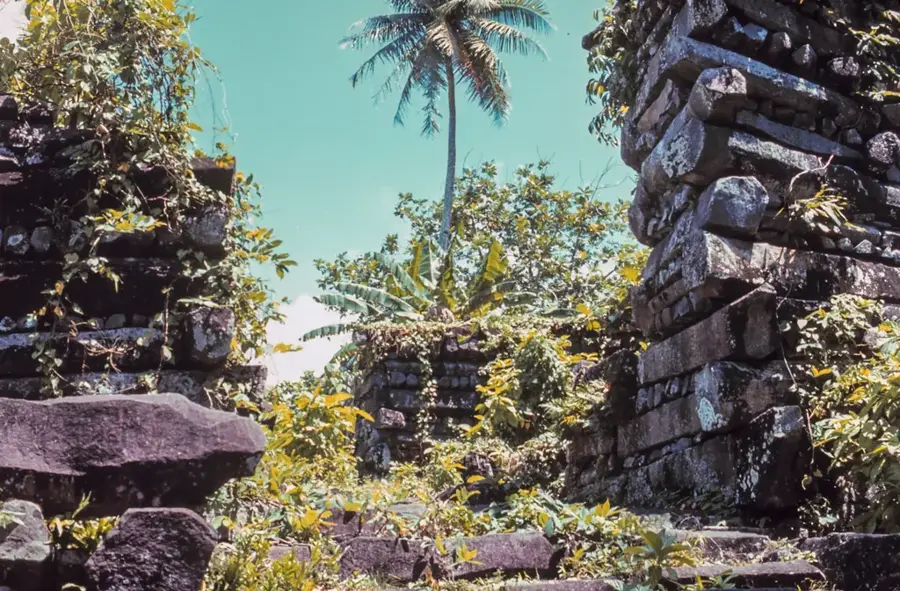
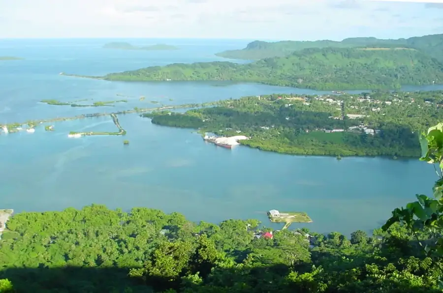
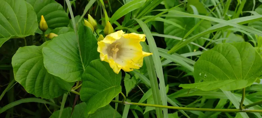
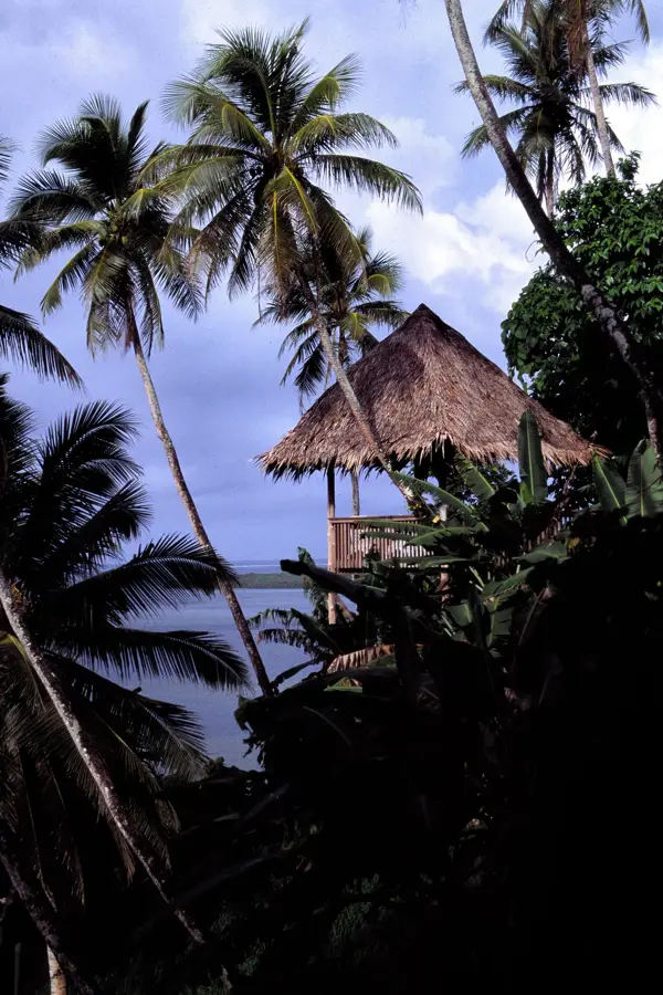
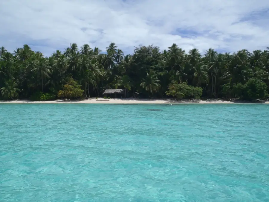
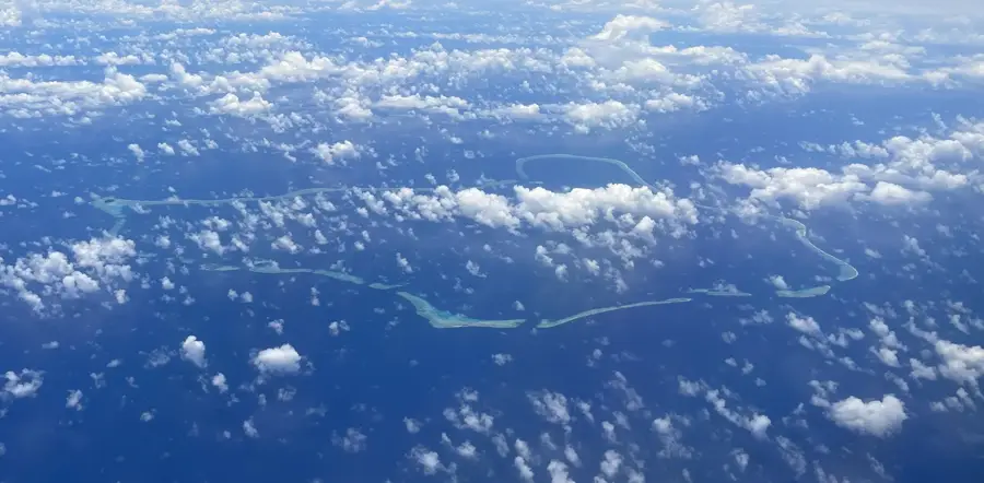
Mount Nanlaud, standing at 782 meters (2,566 feet), is the highest point on the island of Pohnpei and the entire Federated States of Micronesia. Located at the heart of the Senyavin Islands, this peak is a defining feature of the island's interior, often hidden beneath a persistent shroud of mist and clouds. This constant moisture sustains a rare high-altitude cloud forest, making it one of the wettest places on Earth. As Pohnpei’s primary watershed, Mount Nanlaud captures vast amounts of rainfall that feed the island's numerous rivers and iconic waterfalls. The mountain is a sanctuary for biodiversity, hosting several endemic bird species and unique flora that thrive in the cool, damp environment. Reaching the summit is a legendary challenge for hikers, involving a strenuous trek through thick jungle and deep mud, but it has a profound connection to the island’s pristine wilderness. Historically and culturally, the mountain is revered as the source of life-giving water, essential for the island's traditional way of life.
- Location: Micronesia
- Nearby: Nett (7 km)
Best time to visit & climate
The most pleasant time to visit is Jan–Mar.
| Jan | Feb | Mar | Apr | May | Jun | Jul | Aug | Sep | Oct | Nov | Dec | |
|---|---|---|---|---|---|---|---|---|---|---|---|---|
| Avg °C | 28 | 28 | 28 | 28 | 28 | 28 | 28 | 28 | 28 | 28 | 28 | 28 |
| Rain mm | 205 | 161 | 219 | 251 | 290 | 243 | 268 | 238 | 264 | 264 | 274 | 250 |
📋 Practical info
Geography
Facts
- Highest peak in Micronesia (782 m)
- Annual rainfall exceeds 10,000 mm
- Home to a rare tropical cloud forest
- Crucial watershed for Pohnpei island
- Accessible only via unmarked jungle trails
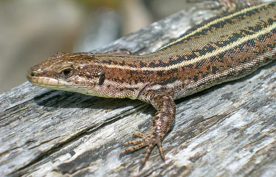
- Habitat for the endemic Pohnpei white-eye
Explore nearby
Notable places around
Route planner — Car & Motorhome
Where do you start? We build the route here, with stops and country notes along the way.
© OpenStreetMap contributors · OpenRouteService
Sights in the town Mount Nanlaud (1)
Sights nearby
Frequently asked questions
How high is Mount Nanlaud?
Is the hike difficult?
Is a guide necessary?
What is the weather like at the summit?
What should I bring?
Mount Nanlaud: where is it located?
Mount Nanlaud: when is the best time to visit?
Mount Nanlaud: why is it worth visiting?

Nearby cities


History & landmarks

Nature

More places