Plizio Visual Lab
Mount Finkol

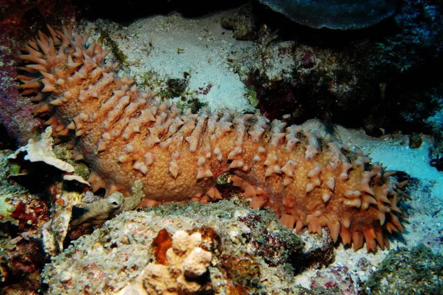
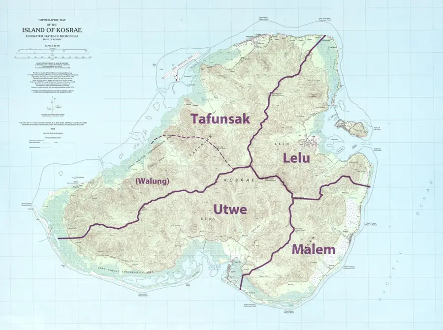
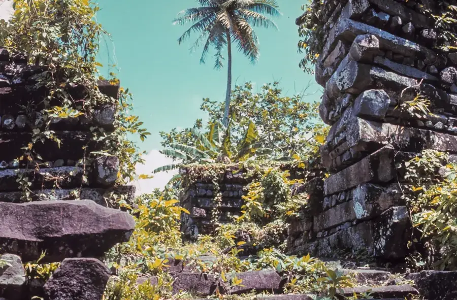
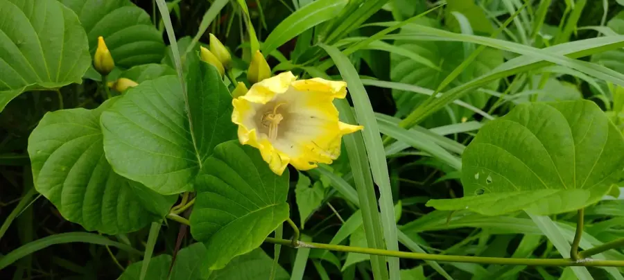
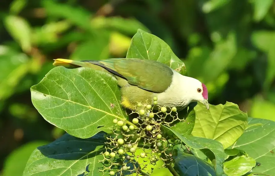
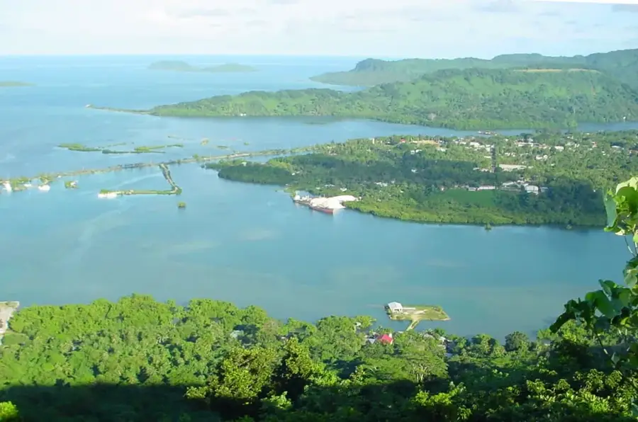
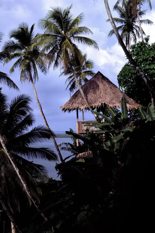
Mount Finkol is the highest peak on the island of Kosrae, standing at 634 meters and serving as an ecological sanctuary in Micronesia. Its slopes are draped in lush, undisturbed tropical rainforest and rare high-altitude cloud forests, which harbor a wealth of biodiversity. The mountain is the sole habitat for several endemic species, most notably the Kosrae white-eye, a bird found only in these elevated forests. Hiking to the summit is a demanding task, often taking five to seven hours through steep, muddy, and rugged terrain, yet it gives an unparalleled immersion into a pristine ecosystem. Along the way, trekkers encounter unique montane flora, including endemic ferns and orchids. On a clear day, the summit provides panoramic views over the emerald island of Kosrae, its fringing coral reefs, and the vast Pacific Ocean. Mount Finkol remains a vital watershed for the island, capturing the moisture needed to sustain the life below.
- Location: Micronesia
- Top sights: Finol Finkol · Finol Okat · Mertens
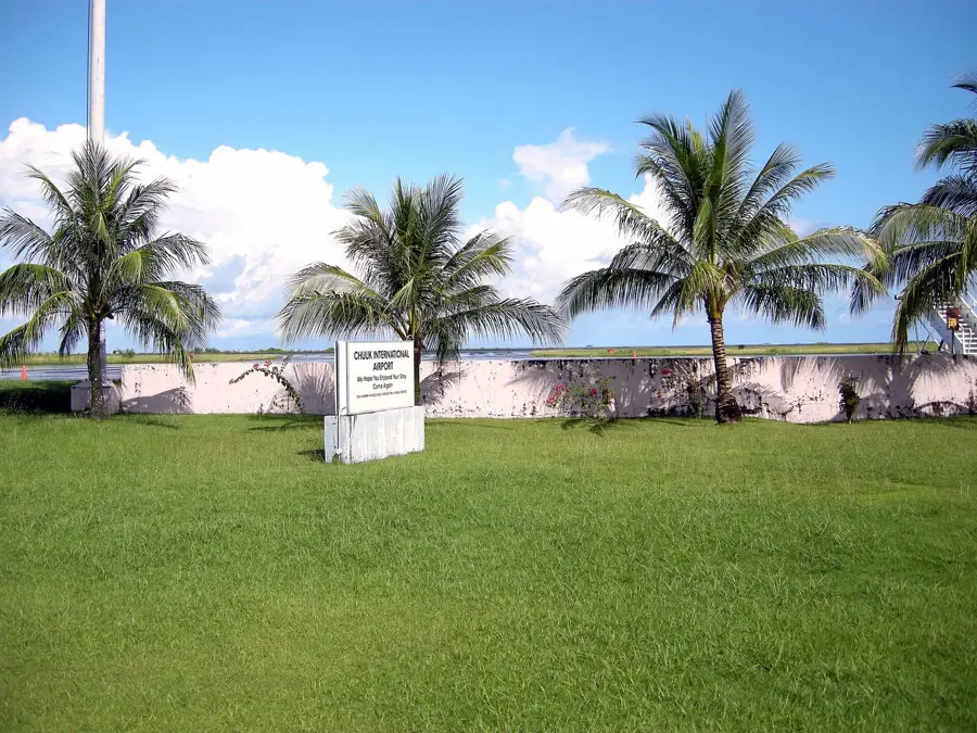
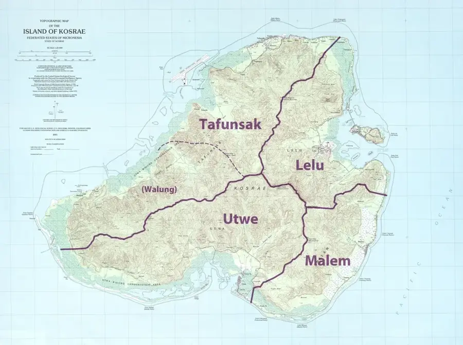
- Nearby: Tafunsak (6 km)
Best time to visit & climate
The most pleasant time to visit is Feb, Aug, Sep.
| Jan | Feb | Mar | Apr | May | Jun | Jul | Aug | Sep | Oct | Nov | Dec | |
|---|---|---|---|---|---|---|---|---|---|---|---|---|
| Avg °C | 28 | 28 | 28 | 28 | 28 | 28 | 28 | 28 | 28 | 28 | 28 | 29 |
| Rain mm | 255 | 223 | 261 | 350 | 292 | 248 | 256 | 224 | 226 | 226 | 253 | 304 |
📋 Practical info
Geography
Facts
- The summit elevation is exactly 634 meters above sea level.
- The mountain is primarily composed of volcanic rock formations.
- The upper slopes feature a cooler and more humid microclimate.
- The hike to the summit takes approximately 6 to 8 hours.
- It is home to rare species of ferns and tropical orchids.
- On clear days, the islet of Lelu is visible from the peak.
Explore nearby
Notable places around
Route planner — Car & Motorhome
Where do you start? We build the route here, with stops and country notes along the way.
© OpenStreetMap contributors · OpenRouteService
Sights in the town Mount Finkol (3)
Mertens
Peak on Kosrae island, surrounded by tropical rainforest.
Sights nearby
Frequently asked questions
How high is Mount Finkol?
How difficult is the hike?
How long does the climb take?
Do you need a guide for Mount Finkol?
What should I bring?
Mount Finkol: where is it located?
Mount Finkol: what is there to see?
Mount Finkol: when is the best time to visit?
Mount Finkol: why is it worth visiting?

Nearby cities


History & landmarks


Nature


More places