Plizio Visual Lab
Mount Nahna Laud

Weather…
Water temperature…
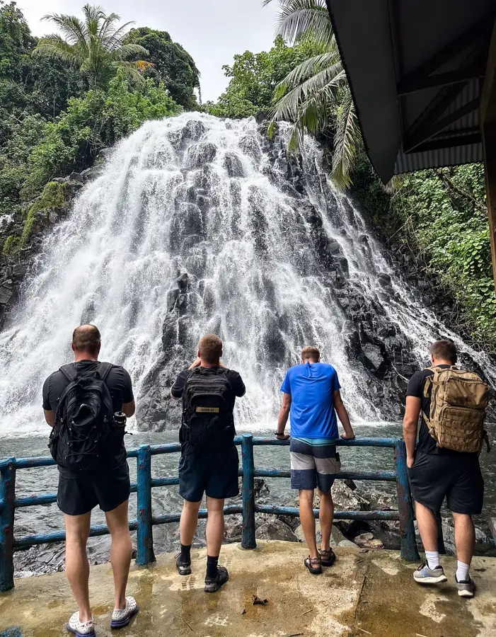
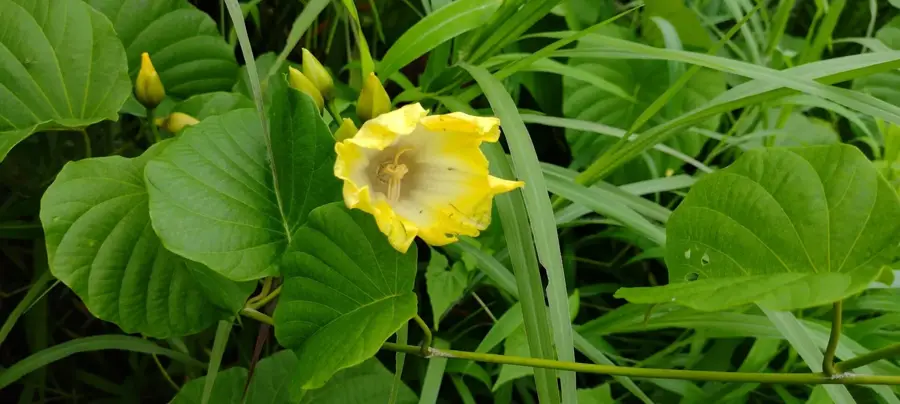
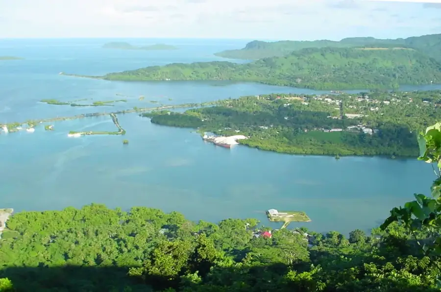
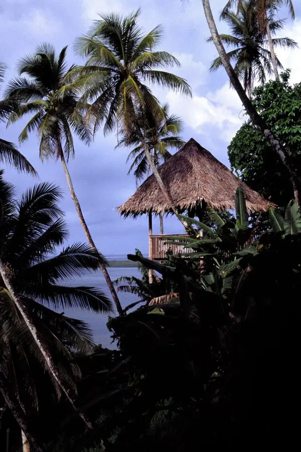
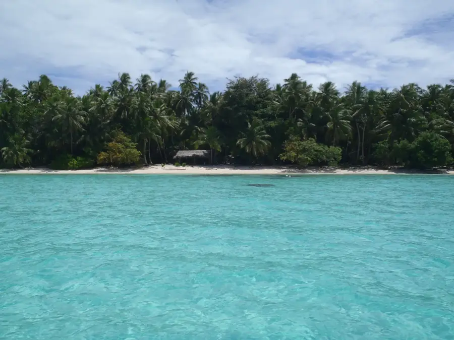
Mount Nahna Laud, reaching an elevation of 798 meters, is the highest peak on Pohnpei and a crown jewel of Micronesia's natural landscape. The mountain's upper slopes are among the wettest places on Earth, receiving staggering amounts of annual rainfall that sustain a pristine and ancient cloud forest. This lush environment is a hotspot for biodiversity, providing a habitat for numerous endemic species, including rare orchids and ferns that thrive in the constant mist and humidity. As the island's primary watershed, Mount Nahna Laud is the source of the many rivers and dramatic waterfalls that flow down to the coast, making it essential for the island's freshwater supply. Trekking to the summit is a demanding adventure through dense jungle and muddy trails, rewarding those who attempt it with a firsthand encounter with one of the Pacific's most untouched wilderness areas. Its ecological importance is matched by its cultural significance as the spiritual heart of Pohnpei's rugged interior.
- Location: Micronesia
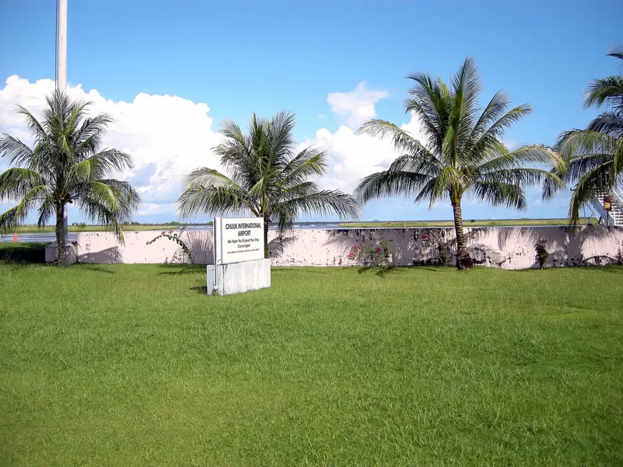
- Nearby: Kitti (7 km)
Best time to visit & climate
The most pleasant time to visit is Jan–Mar.
| Jan | Feb | Mar | Apr | May | Jun | Jul | Aug | Sep | Oct | Nov | Dec | |
|---|---|---|---|---|---|---|---|---|---|---|---|---|
| Avg °C | 28 | 28 | 28 | 28 | 28 | 28 | 28 | 28 | 28 | 28 | 28 | 28 |
| Rain mm | 205 | 161 | 219 | 251 | 290 | 243 | 268 | 238 | 264 | 264 | 274 | 250 |
📋 Practical info
Geography
Facts
- The summit reaches approximately 798 meters above sea level.
- It is one of the wettest locations on the entire planet.
- Annual rainfall at the peak exceeds 8,000 mm.
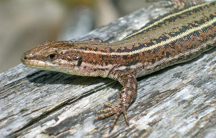
- The mountain is home to the endemic Pohnpei flycatcher bird.
- The upper vegetation consists largely of stunted dwarf forests.
- It is a key part of the Pohnpei Watershed Forest Reserve.
Explore nearby
Notable places around
Route planner — Car & Motorhome
Where do you start? We build the route here, with stops and country notes along the way.
© OpenStreetMap contributors · OpenRouteService
Sights in the town Mount Nahna Laud (1)
Sights nearby
Frequently asked questions
How high is Mount Nahna Laud?
Is the mountain often shrouded in clouds?
How strenuous is the climb?
Are there marked trails?
What is special about the flora at the summit?
Mount Nahna Laud: where is it located?
Mount Nahna Laud: when is the best time to visit?
Mount Nahna Laud: why is it worth visiting?

Nearby cities


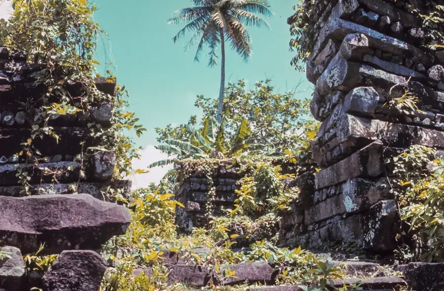
History & landmarks


Nature
More places