Plizio Visual Lab
Dolohmwar
Weather…
Water temperature…
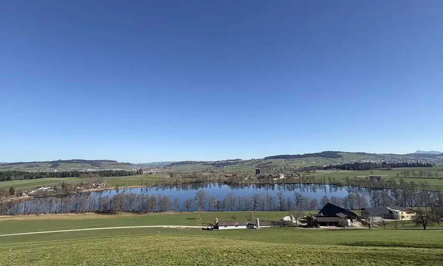
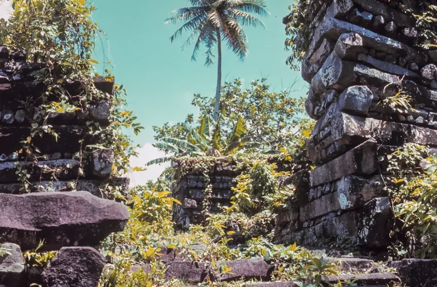
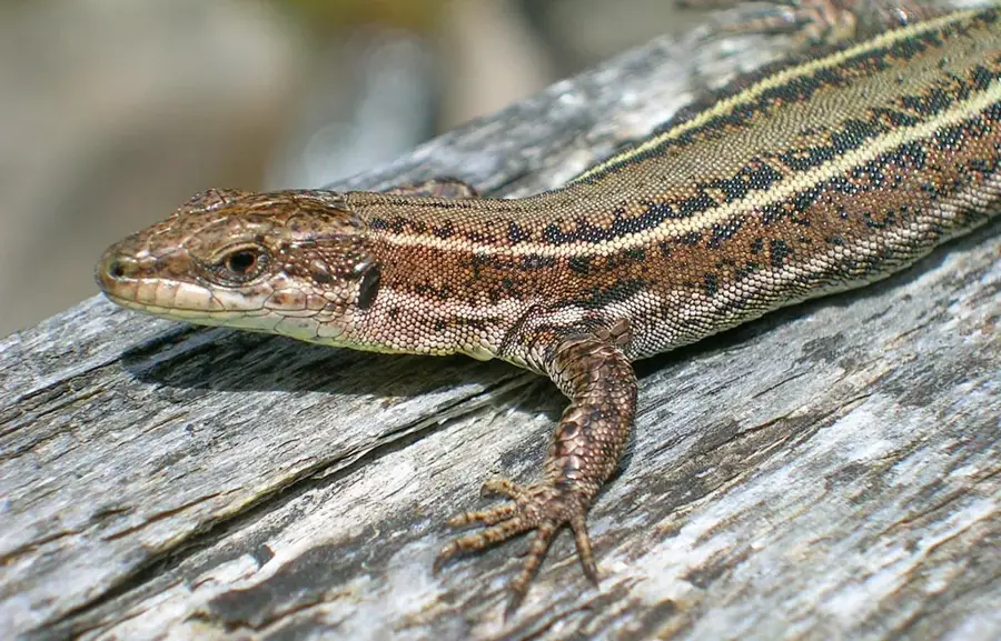
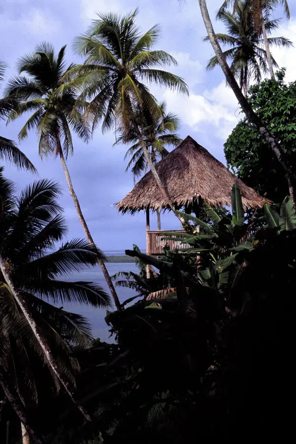
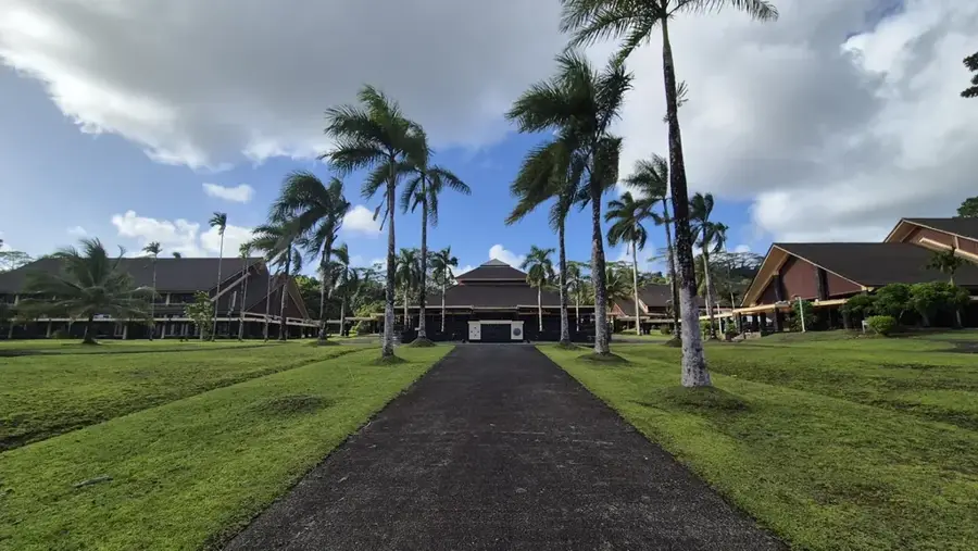
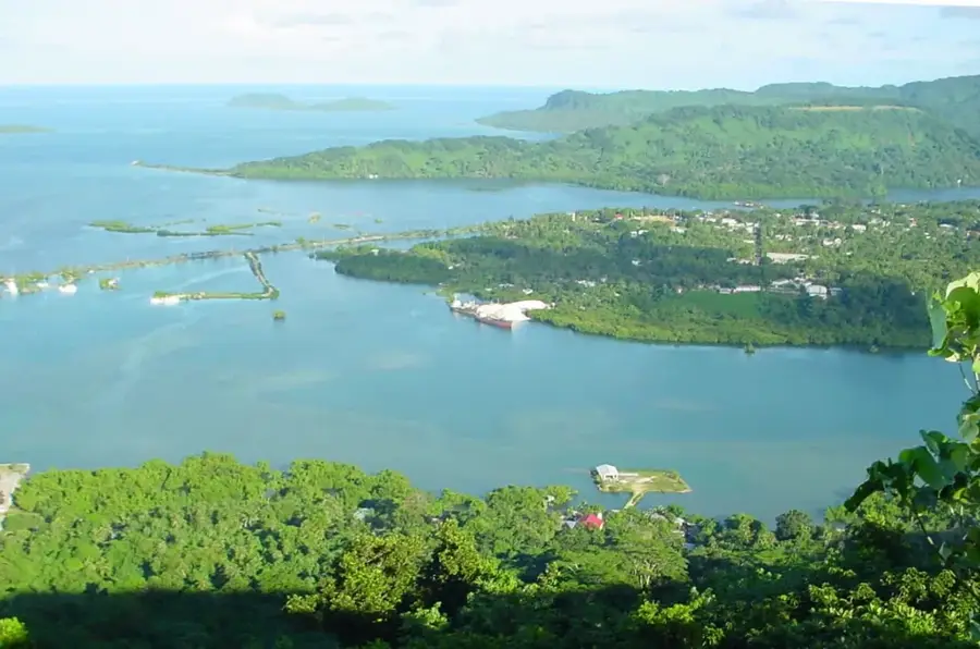
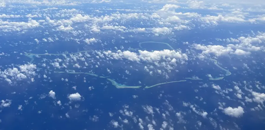
Dolohmwar stands as a prominent peak within the Senyavin Islands on the island of Pohnpei, reaching an elevation of approximately 760 meters. As part of the central mountainous backbone, it defines the rugged interior landscape of this volcanic island. The mountain is draped in dense, primary tropical rainforest, sustained by some of the highest rainfall rates on Earth. This environment creates a sanctuary for Pohnpei's unique biodiversity, including several endemic bird species and rare tropical flora. Hiking to the summit is considered a challenging endeavor due to the steep, often cloud-shrouded terrain and slippery forest floor. Beyond its physical stature, Dolohmwar serves as a vital watershed, feeding the numerous rivers and iconic waterfalls that flow toward the coast. For those who reach its higher elevations, the peak features a rare perspective over the vast green canopy of the Micronesian interior.
- Location: Micronesia
- Top sights: Mount Nanlaud · Pohnpei
- Nearby: Nett (7 km)
Best time to visit & climate
The most pleasant time to visit is Jan–Mar.
| Jan | Feb | Mar | Apr | May | Jun | Jul | Aug | Sep | Oct | Nov | Dec | |
|---|---|---|---|---|---|---|---|---|---|---|---|---|
| Avg °C | 28 | 28 | 28 | 28 | 28 | 28 | 28 | 28 | 28 | 28 | 28 | 28 |
| Rain mm | 205 | 161 | 219 | 251 | 290 | 243 | 268 | 238 | 264 | 264 | 274 | 250 |
📋 Practical info
Geography
Facts
- Highest point in the FSM, rising to 791 meters
- Annual rainfall often exceeds 8,000 millimeters
- The name translates to 'Great Mountain' in Pohnpeian
- Formed from massive volcanic rock structures
- The core zone of a major watershed forest reserve
- Accessible only via strenuous and often muddy trails
Explore nearby
Notable places around
Route planner — Car & Motorhome
Where do you start? We build the route here, with stops and country notes along the way.
© OpenStreetMap contributors · OpenRouteService
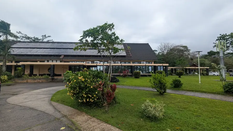
Sights in the town Dolohmwar (2)
Sights nearby
Frequently asked questions
How difficult is the hike to Dolohmwar?
What is the best time for a hike?
Are there marked trails to the summit?
What equipment is recommended?
How high is Dolohmwar?
Dolohmwar: where is it located?
Dolohmwar: what is there to see?
Dolohmwar: when is the best time to visit?
Dolohmwar: why is it worth visiting?

Nearby cities


History & landmarks

Nature

More places