Plizio Visual Lab
Mount Ngihnen

Weather…
Water temperature…
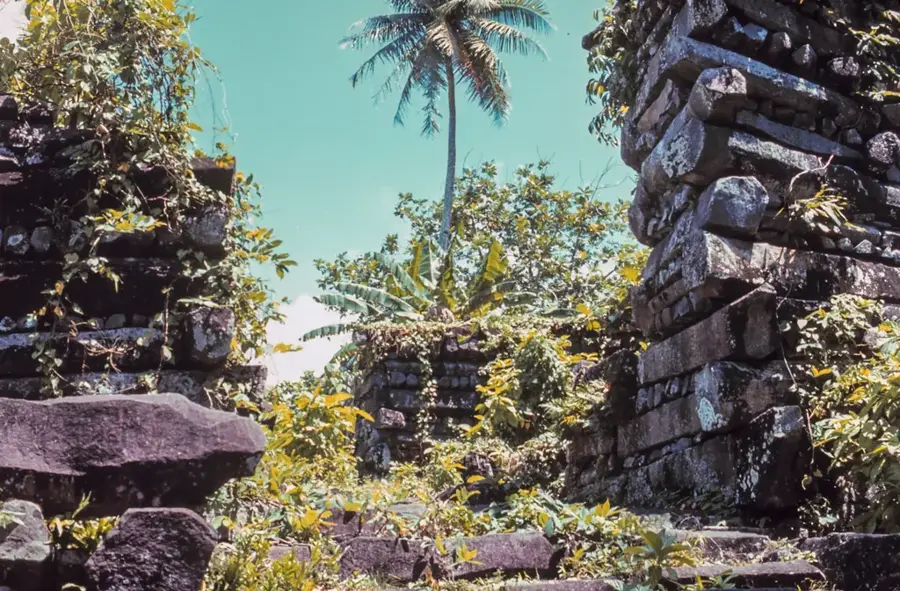
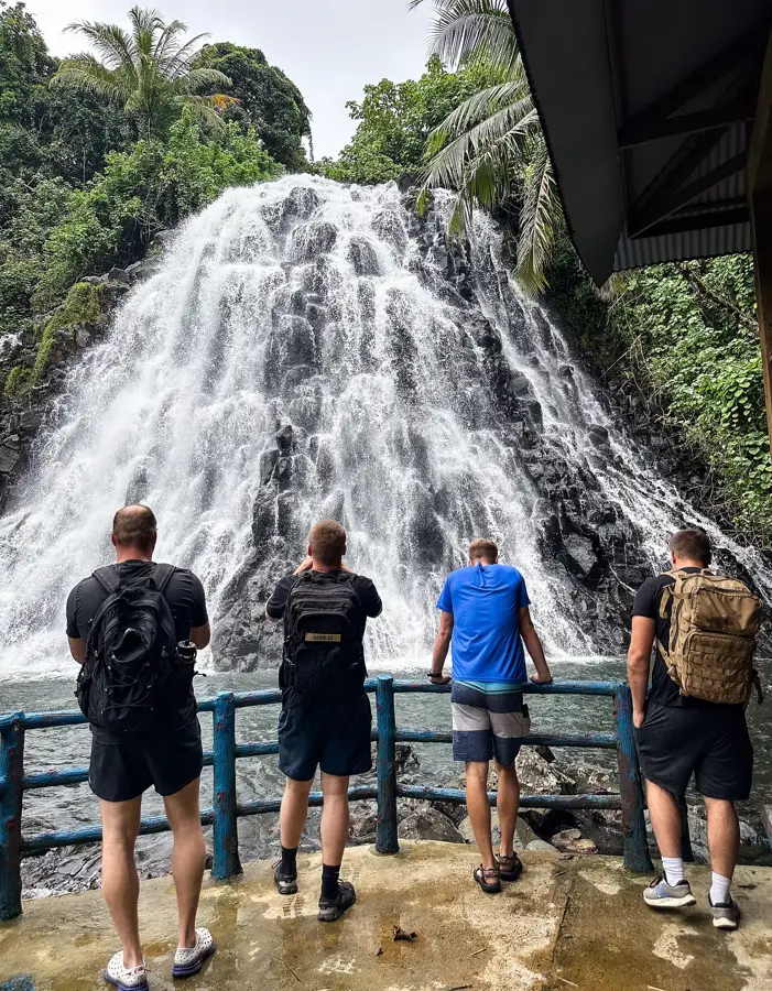
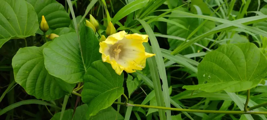
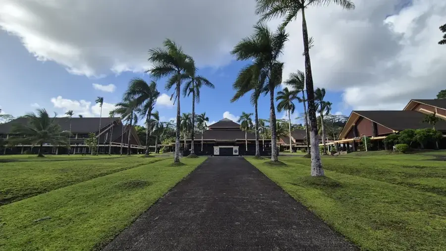
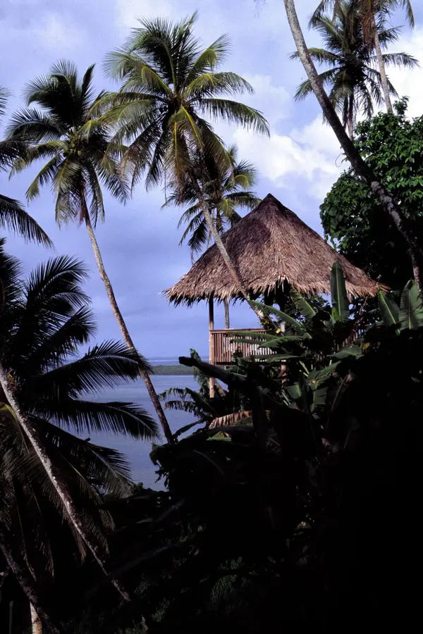
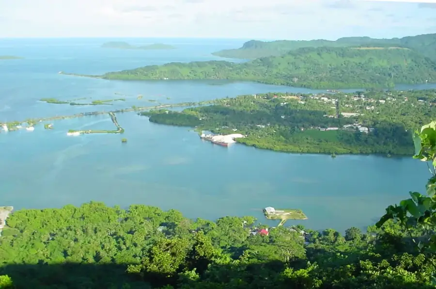
Mount Ngihnen is an imposing elevation on the island of Pohnpei and, at 772 meters, marks the second highest point in the country. It is situated in the rugged and hard-to-reach central highlands of the island, which are almost constantly shrouded in dense clouds and mist. The slopes of the mountain are covered by impenetrable tropical rainforest that hosts an enormous biodiversity, including many plant species found only in the high altitudes of Micronesia. Geographically, Mount Ngihnen stands near its neighbor, Mount Nanlaud, together forming an essential watershed for the island. The region around the summit is of vital ecological importance, serving as the primary source for Pohnpei's numerous rivers and spectacular waterfalls. Due to the extreme terrain and high rainfall, there are few established paths to the summit, making any ascent a demanding expedition suitable only for experienced hikers and scientists wishing to explore the untouched flora and fauna.
- Location: Micronesia
- Nearby: Nett (6 km)
Best time to visit & climate
The most pleasant time to visit is Jan–Mar.
| Jan | Feb | Mar | Apr | May | Jun | Jul | Aug | Sep | Oct | Nov | Dec | |
|---|---|---|---|---|---|---|---|---|---|---|---|---|
| Avg °C | 28 | 28 | 28 | 28 | 28 | 28 | 28 | 28 | 28 | 28 | 28 | 28 |
| Rain mm | 205 | 161 | 219 | 251 | 290 | 243 | 268 | 238 | 264 | 264 | 274 | 250 |
📋 Practical info
Geography
Facts
- Considered one of the wettest locations on Earth
- The summit area hosts the endemic Pohnpei palm tree
- Formed from massive volcanic basalt rock formations
- Part of the rugged central mountain range of Pohnpei
- A vital watershed for the island's many rivers
- Climbing is challenging due to constant wet conditions
Explore nearby
Notable places around
Route planner — Car & Motorhome
Where do you start? We build the route here, with stops and country notes along the way.
© OpenStreetMap contributors · OpenRouteService
Sights in the town Mount Ngihnen (1)
Sights nearby
Frequently asked questions
Where is Mount Ngihnen located?
Is it higher than Mount Nanlaud?
What kind of vegetation is found there?
Can you camp there?
Are there any animals to watch out for?
Mount Ngihnen: where is it located?
Mount Ngihnen: when is the best time to visit?
Mount Ngihnen: why is it worth visiting?

Nearby cities


History & landmarks


Nature

More places