Plizio Visual Lab
Mount Oma

Weather…
Water temperature…
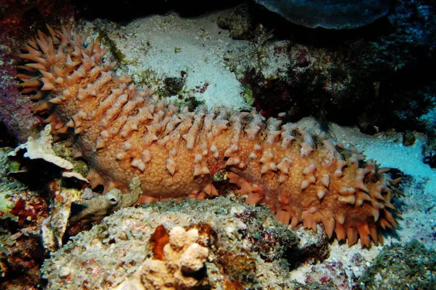
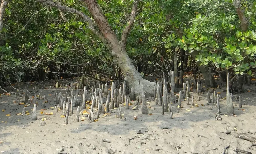
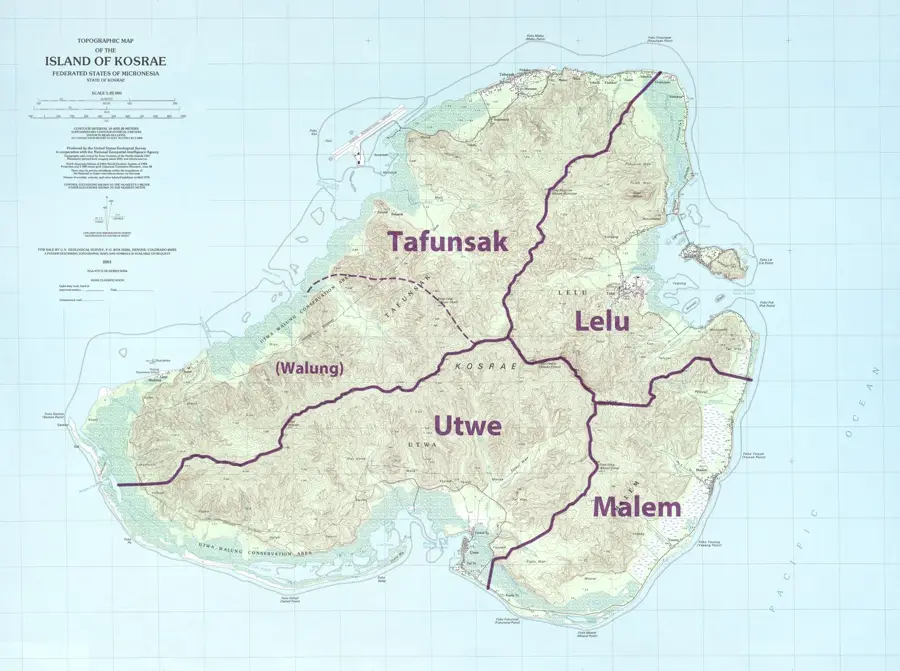
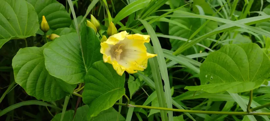
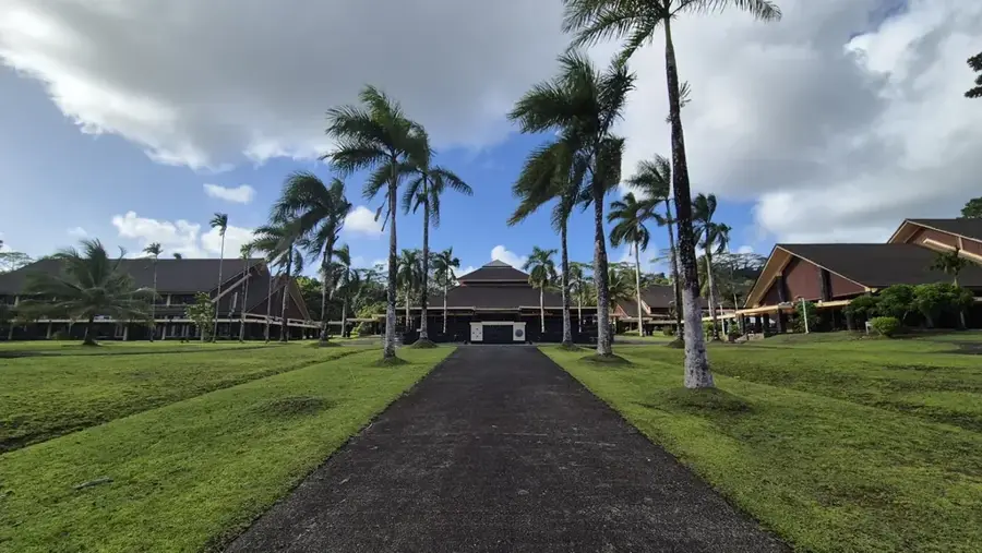
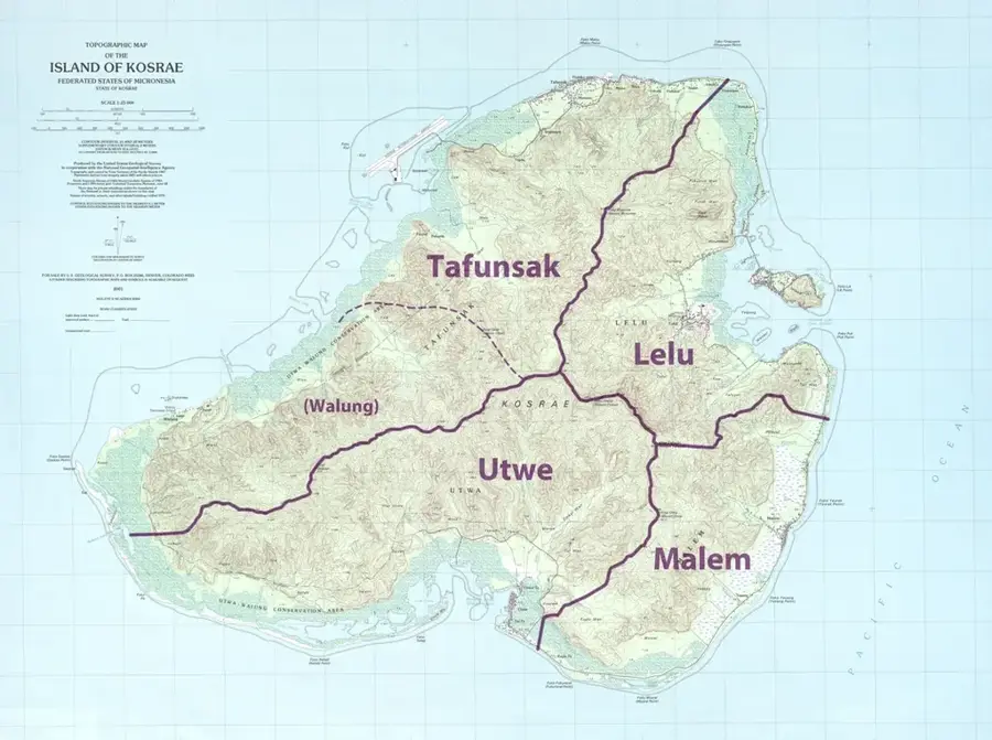
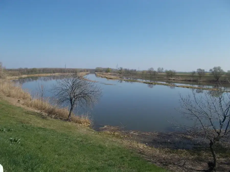
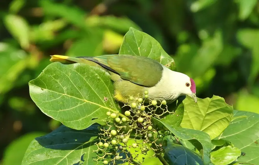
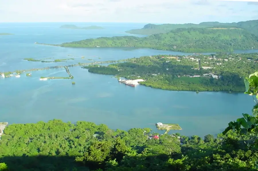
Mount Oma is a defining landmark of Kosrae, the easternmost high island of the Federated States of Micronesia. Rising to an elevation of 476 meters, this peak is a testament to the island's volcanic origins, composed of rugged basalt rock weathered by centuries of tropical rainfall. The mountain is cloaked in a dense primary rainforest that remains one of the most untouched in the Pacific, hosting a variety of endemic bird species and rare ferns. Its slopes are carved by deep ravines and home to spectacular, pristine waterfalls that remain largely unvisited due to the challenging terrain. Trekking to the summit of Mount Oma is an arduous task, involving steep climbs through thick canopy and mossy ridges, but it features unparalleled views of Kosrae’s dramatic coastline and the vast Pacific beyond. Part of the iconic central mountain range, Mount Oma is central to the island's 'Sleeping Lady' silhouette, a geographic feature deeply embedded in local Kosraean folklore and identity.
- Location: Micronesia
- Top sights: Finol Finkol · Finol Okat
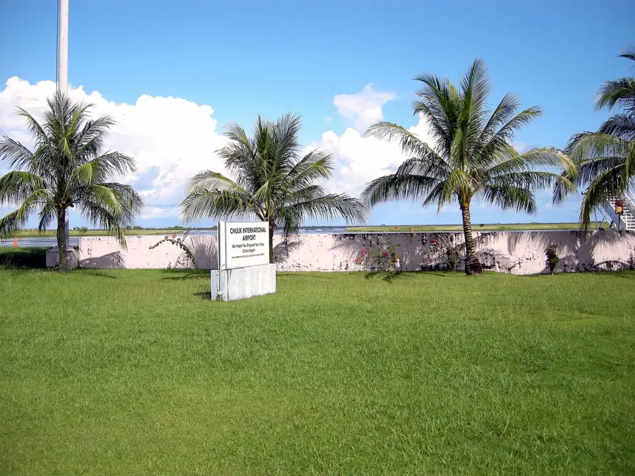
- Nearby: Tofol Economic Hub (4 km)
Best time to visit & climate
The most pleasant time to visit is Feb, Aug, Sep.
| Jan | Feb | Mar | Apr | May | Jun | Jul | Aug | Sep | Oct | Nov | Dec | |
|---|---|---|---|---|---|---|---|---|---|---|---|---|
| Avg °C | 28 | 28 | 28 | 28 | 28 | 28 | 28 | 28 | 28 | 28 | 28 | 29 |
| Rain mm | 255 | 223 | 261 | 350 | 292 | 248 | 256 | 224 | 226 | 226 | 253 | 304 |
📋 Practical info
Geography
Facts
- Reaches an elevation of 476 meters above sea level
- Hiking trails traverse through pristine rainforest
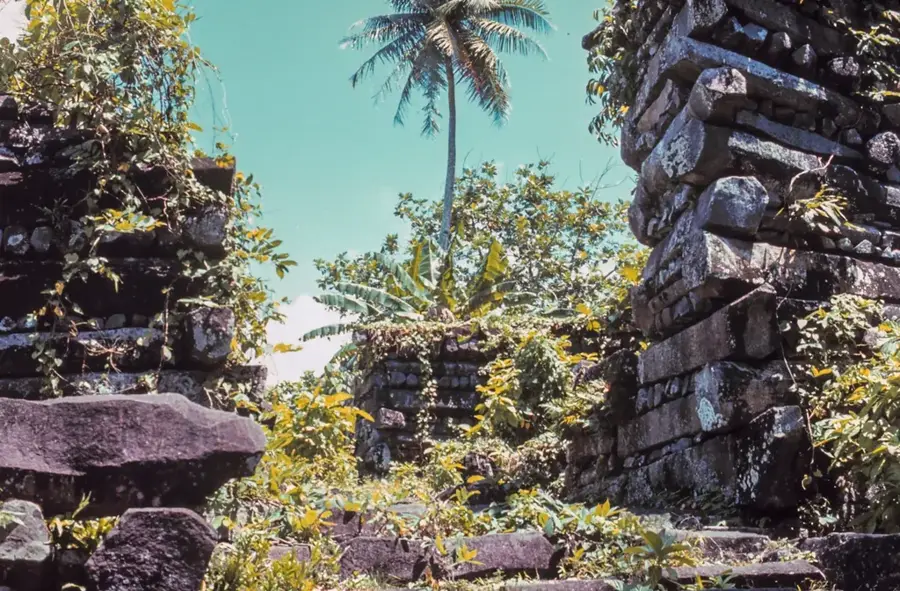
- Located near the significant ancient Menke Ruins
- Habitat for many of Kosrae's endemic bird species
- Composed of geologically ancient volcanic material
- Forms a crucial part of the island's watershed system
Explore nearby
Notable places around
Route planner — Car & Motorhome
Where do you start? We build the route here, with stops and country notes along the way.
© OpenStreetMap contributors · OpenRouteService
Sights in the town Mount Oma (2)
Sights nearby
Frequently asked questions
Where is Mount Oma located?
Is the hike difficult?
What can you see along the way?
Do you need a guide for Mount Oma?
Are there historical sites there?
Mount Oma: where is it located?
Mount Oma: what is there to see?
Mount Oma: when is the best time to visit?
Mount Oma: why is it worth visiting?

Nearby cities


History & landmarks


Nature


More places