Plizio Visual Lab
Falémé River

Weather…
Water temperature…
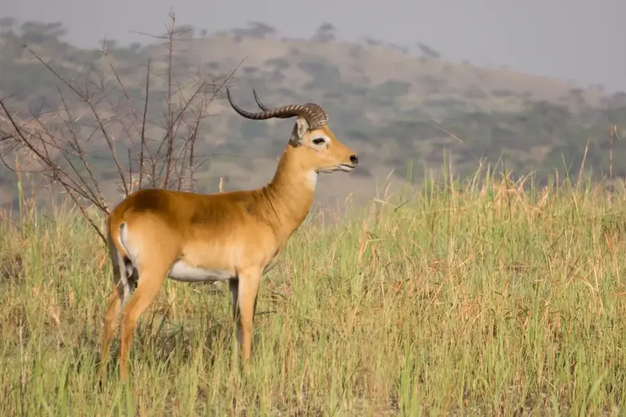
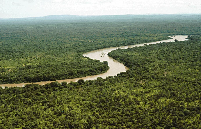
The Falémé River is the principal left-bank tributary of the Senegal River, stretching approximately 650 kilometers and forming the natural international border between Senegal and Mali. Originating in the northern Fouta Djallon highlands of Guinea, it flows northward before joining the main Senegal River near Bakel. The river is characterized by extreme seasonal fluctuations, with heavy flows during the rainy season and nearly dry reaches during the peak of the dry season. This waterway is the lifeblood for local agriculture and livestock farming in the Kédougou region, supporting numerous rural communities. In recent years, the Falémé has faced severe environmental challenges due to intensive artisanal gold mining, which has led to high levels of mercury pollution and increased sedimentation. Government interventions have been launched to regulate mining activities and safeguard the water quality and fish stocks that thousands of people depend on for their daily survival.
Best time to visit & climate
The most pleasant time to visit is Jan, Nov, Dec.
| Jan | Feb | Mar | Apr | May | Jun | Jul | Aug | Sep | Oct | Nov | Dec | |
|---|---|---|---|---|---|---|---|---|---|---|---|---|
| Avg °C | 26 | 29 | 32 | 34 | 35 | 31 | 28 | 26 | 27 | 27 | 26 | 25 |
| Rain mm | 0 | 1 | 1 | 4 | 26 | 118 | 227 | 322 | 242 | 66 | 3 | 0 |
📋 Practical info
Geography
Facts
- The river spans a total length of approximately 650 kilometers.
- It serves as the natural international border between Senegal and Mali.
- The confluence with the Senegal River is located 30 km upstream of Bakel.
- Its headwaters are situated in the Fouta Djallon massif in Guinea.
- Known for significant gold deposits found in its alluvial sediments.
- Water discharge can fluctuate from 0 to 1000 m³/s during the year.
Explore nearby
Notable places around
Route planner — Car & Motorhome
Where do you start? We build the route here, with stops and country notes along the way.
© OpenStreetMap contributors · OpenRouteService
Sights nearby
Frequently asked questions
Is the river navigable?
Can you fish on the Faleme?
Best time to visit?
Is there tourist infrastructure?
Wildlife dangers?
Falémé River: where is it located?
Falémé River: when is the best time to visit?
Falémé River: why is it worth visiting?

Nature
More places