Plizio Visual Lab
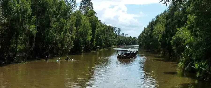
Mangoky River
Weather…
Water temperature…
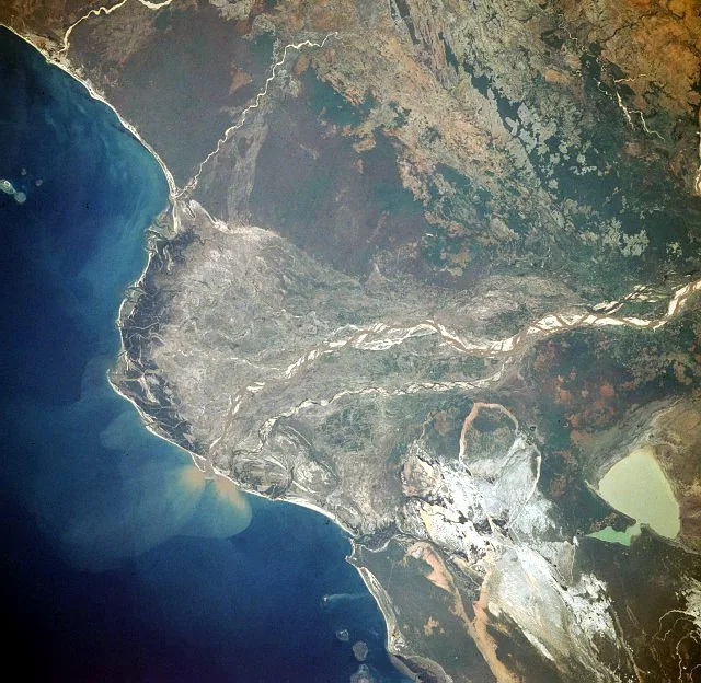
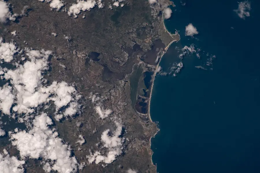
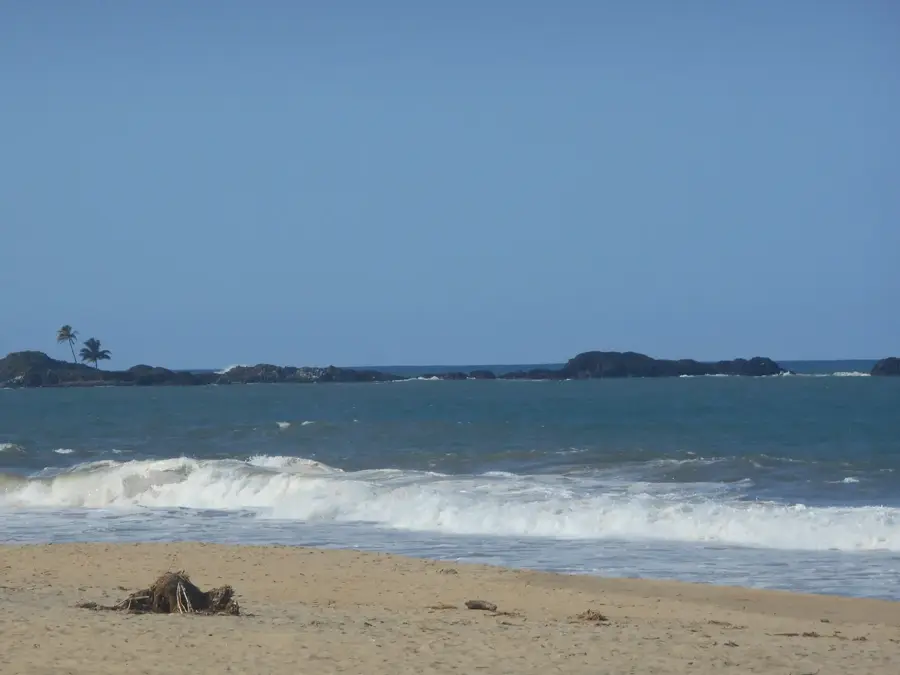
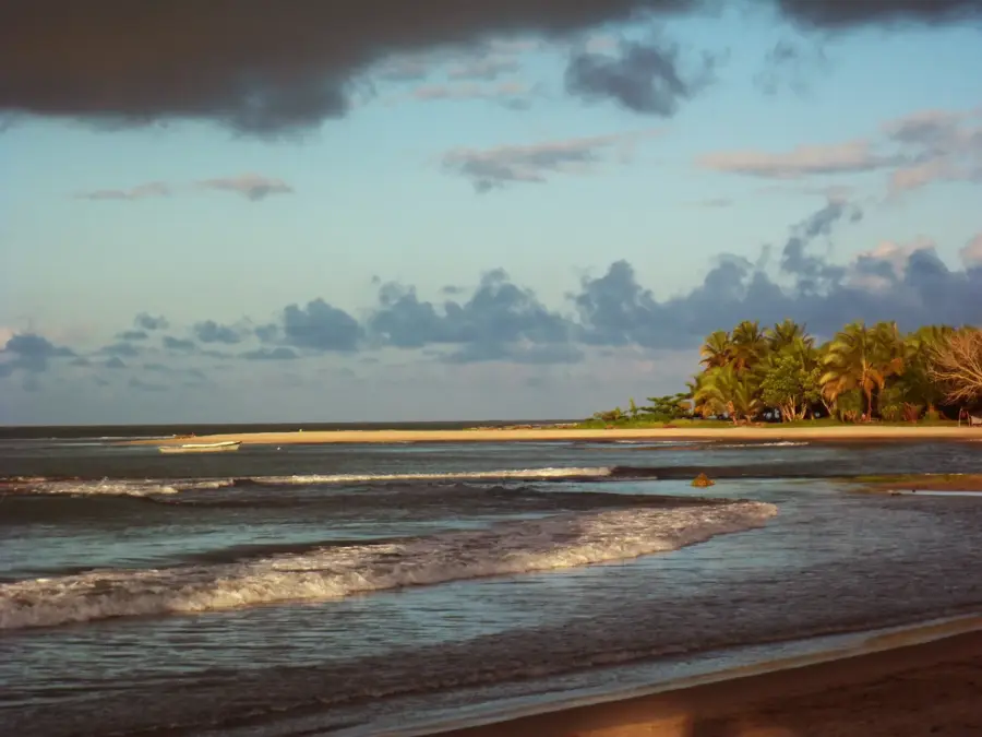
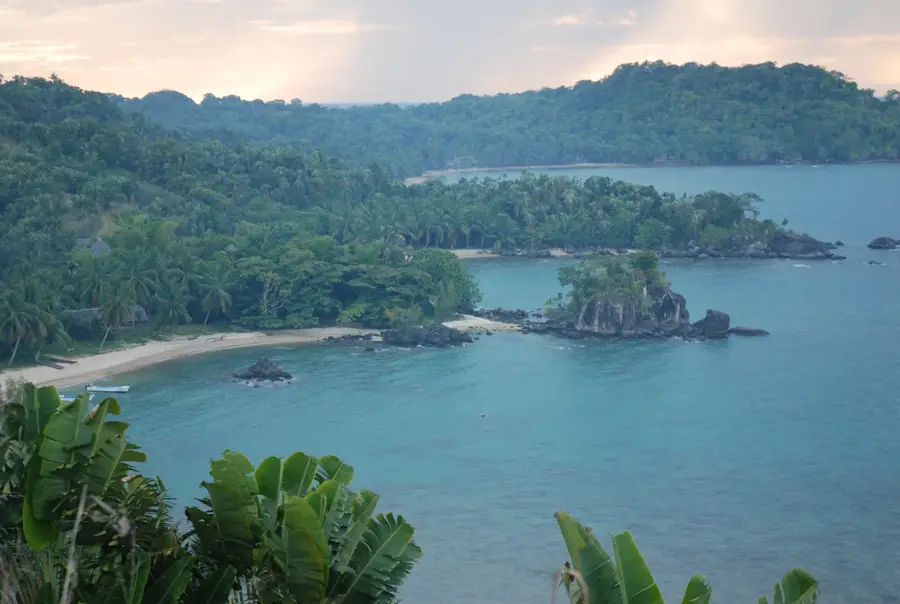
The Mangoky River is the longest river in Madagascar, flowing approximately 822 kilometers from the central highlands to the Mozambique Channel. Originating south of the city of Fianarantsoa, the river carves through southwestern landscapes, draining a massive basin of over 55,000 square kilometers. Its most prominent geographical feature is the vast delta, which contains some of the country's most significant mangrove forests and serves as a vital nursery for marine life. The river’s waters are crucial for the irrigation of large-scale agricultural projects, particularly cotton and rice plantations that thrive on the fertile alluvial plains. Despite its importance to the local economy, large stretches of the Mangoky remain remote and wild, providing a sanctuary for endemic species such as rare waterfowl and the Madagascar crocodile. The river experiences extreme seasonal fluctuations in water level, which can make navigation difficult but is essential for the natural deposition of nutrient-rich sediments. The Mangoky remains a cornerstone of the region's geography, balancing human agricultural needs with the preservation of unique island biodiversity.
- Location: Madagascar
- Nearby: Ankazoabo (52 km)
Best time to visit & climate
The most pleasant time to visit is Jun–Aug.
| Jan | Feb | Mar | Apr | May | Jun | Jul | Aug | Sep | Oct | Nov | Dec | |
|---|---|---|---|---|---|---|---|---|---|---|---|---|
| Avg °C | 27 | 26 | 26 | 25 | 23 | 22 | 21 | 23 | 26 | 28 | 29 | 28 |
| Rain mm | 304 | 201 | 121 | 37 | 16 | 7 | 7 | 4 | 19 | 30 | 59 | 155 |
📋 Practical info
Geography
Facts
- At 822 kilometers in length, it is the longest river on the island of Madagascar.
- The river's drainage basin covers approximately 55,750 square kilometers.
- The Mangoky delta hosts the largest contiguous mangrove forests in the country.
- The fertile plains along the lower reaches are the center of Malagasy cotton farming.
- Significant populations of Nile crocodiles inhabit the quieter sections of the river.
- The massive amount of sediment deposited at the mouth is clearly visible from space.
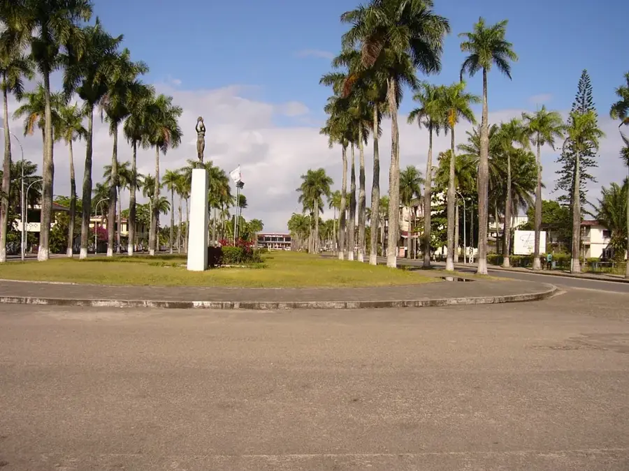
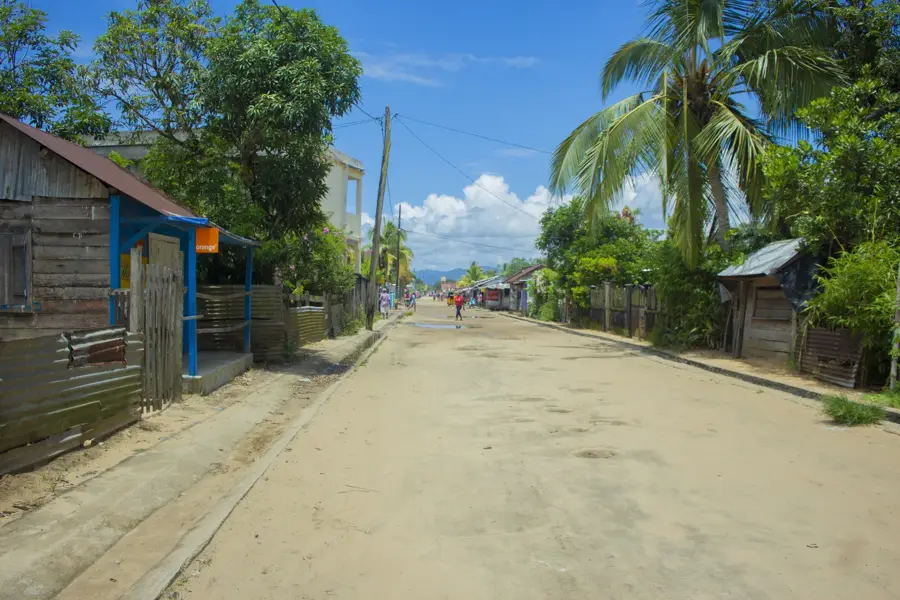
Explore nearby
Notable places around
Route planner — Car & Motorhome
Where do you start? We build the route here, with stops and country notes along the way.
© OpenStreetMap contributors · OpenRouteService
Sights nearby
Frequently asked questions
Where is the Mangoky River located?
Is the Mangoky River navigable?
What is the best time of year to visit?
Are there tourist facilities along the Mangoky?
What are the biggest dangers at the river?
Mangoky River: where is it located?
Mangoky River: when is the best time to visit?
Mangoky River: why is it worth visiting?

Nearby cities


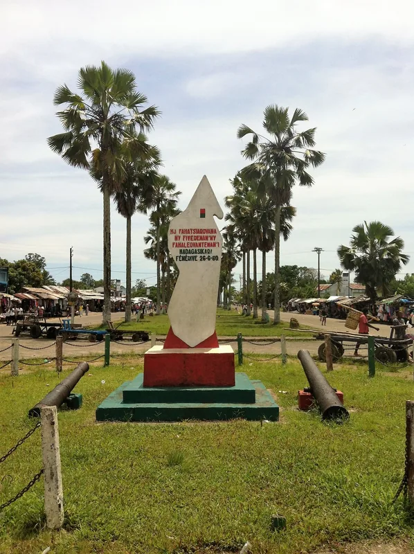
History & landmarks
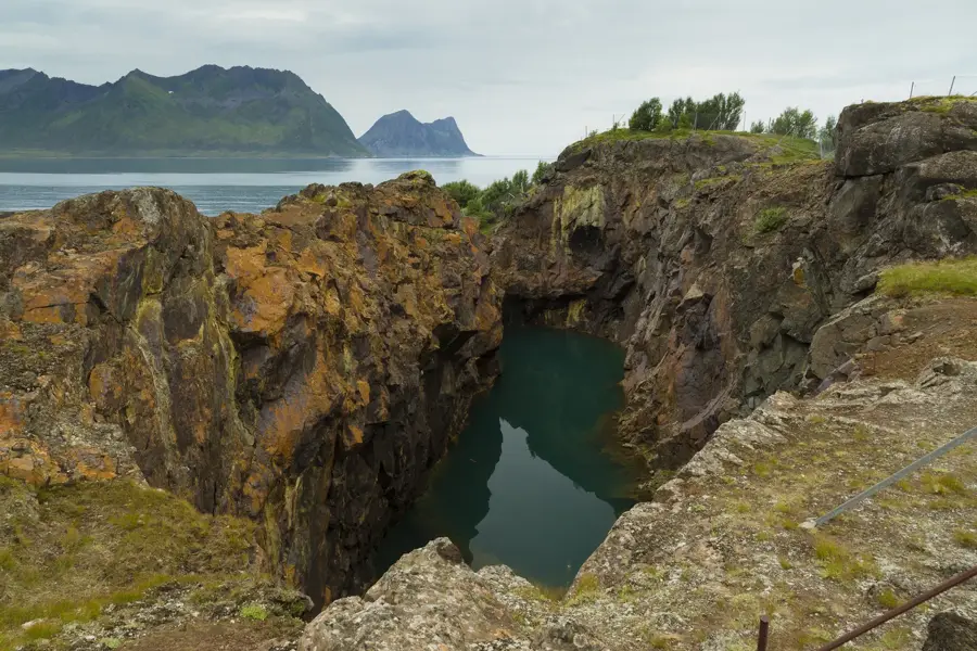
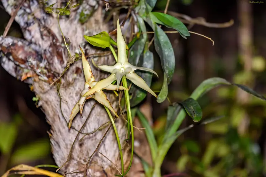
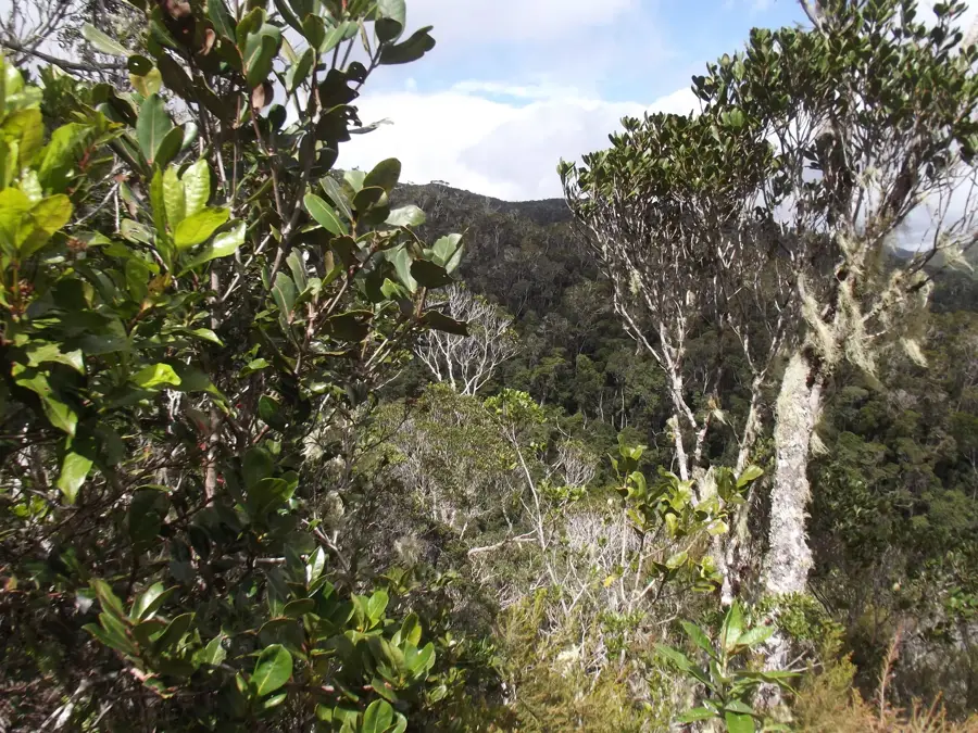
Nature
More places