Plizio Visual Lab
Analavelona Forest

Weather…
Water temperature…
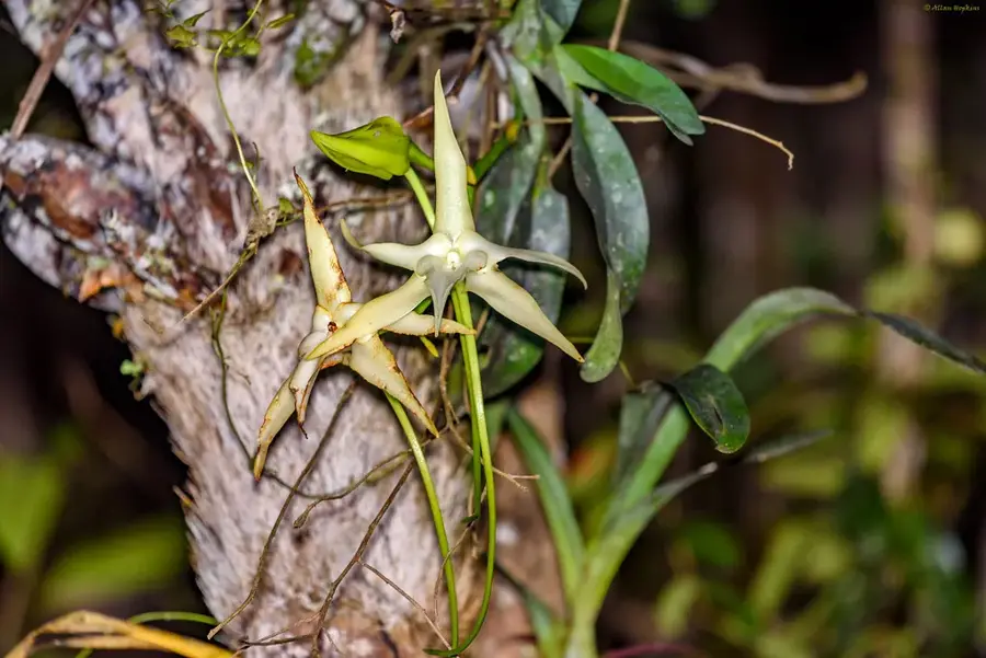
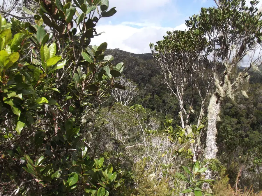
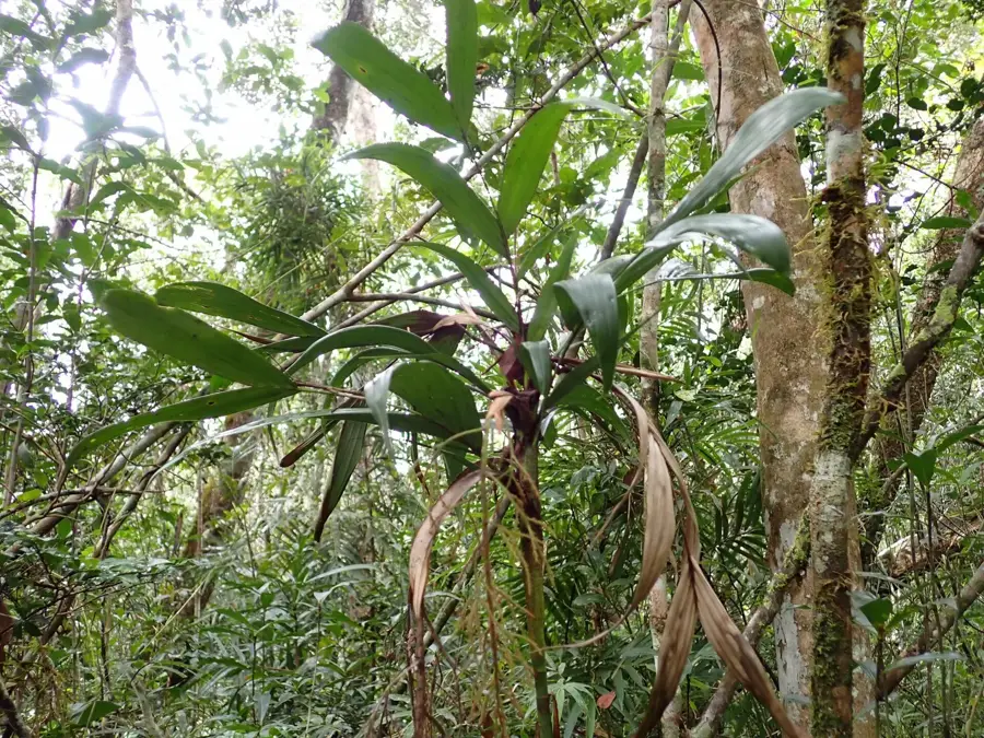
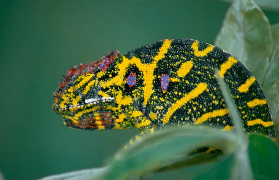
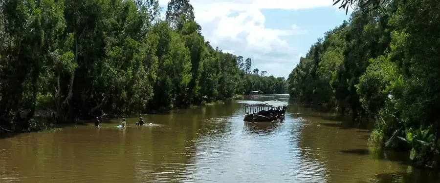
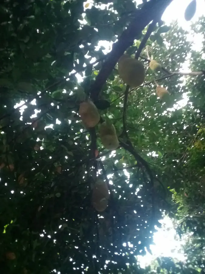
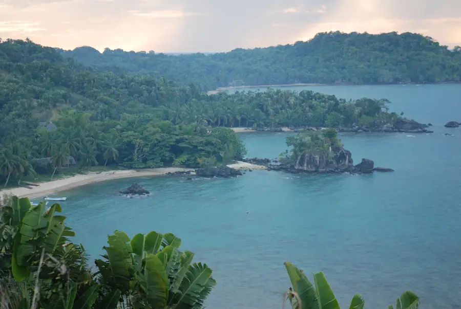
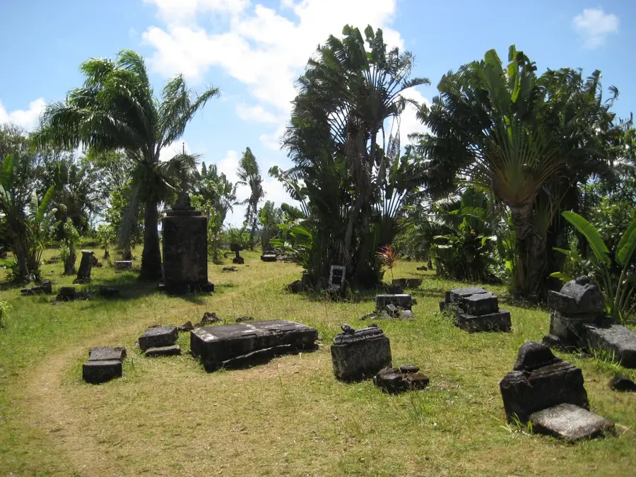
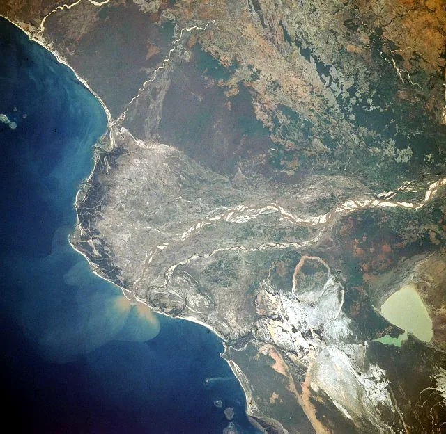
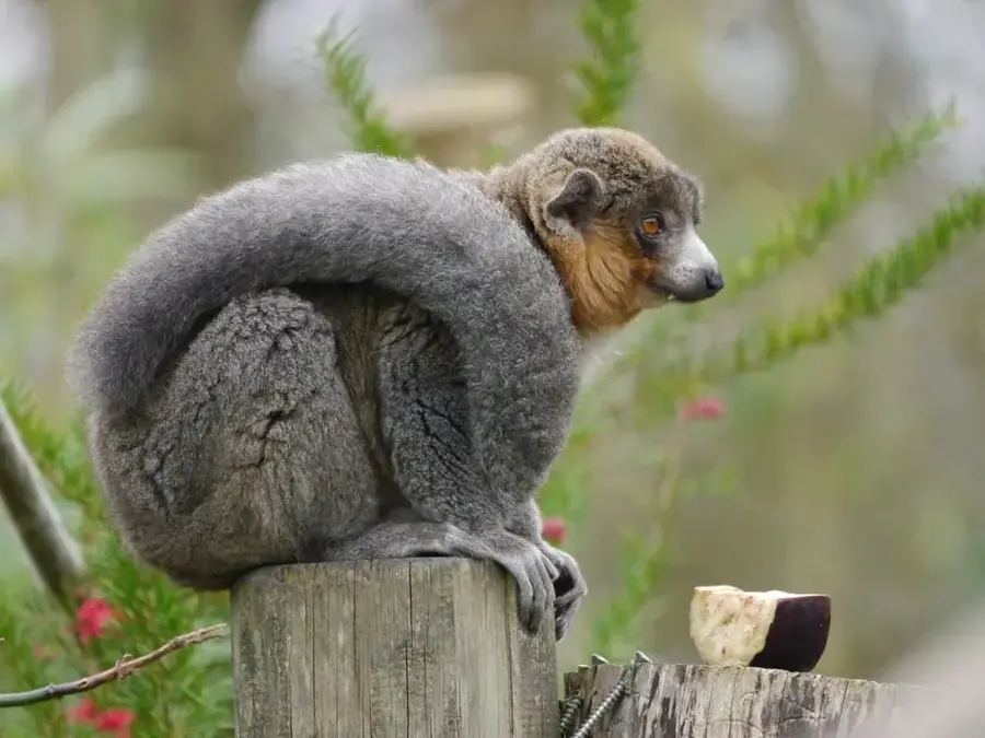
The Analavelona Forest is an isolated high-altitude humid forest located in southwest Madagascar, situated approximately 50 kilometers north of the town of Sakaraha. This ecosystem rises as a green island above the surrounding dry savannahs and spiny forests, acting as a crucial water tower for local agriculture and human consumption. For the Bara people, the forest is considered sacred and serves as a traditional burial site, which has historically aided in its preservation from large-scale deforestation. The area is home to a high level of biodiversity, including several species of lemurs and over 60 bird species, many of which are endemic to this specific microclimate. Due to its unique position at the transition zone between different ecological regions, the forest contains rare botanical specimens. Today, the forest remains one of the few intact examples of high-altitude humid ecosystems in this part of the island, though it faces pressure from bushfires.
- Location: Madagascar
- Nearby: Sakaraha (40 km)
Best time to visit & climate
The most pleasant time to visit is Jun–Aug.
| Jan | Feb | Mar | Apr | May | Jun | Jul | Aug | Sep | Oct | Nov | Dec | |
|---|---|---|---|---|---|---|---|---|---|---|---|---|
| Avg °C | 26 | 26 | 26 | 24 | 22 | 21 | 20 | 22 | 24 | 26 | 27 | 27 |
| Rain mm | 258 | 180 | 105 | 34 | 18 | 11 | 7 | 6 | 17 | 31 | 56 | 139 |
📋 Practical info
Geography
Facts
- The forest is situated at elevations reaching up to 1,300 meters above sea level.
- It serves as a primary catchment area for the Fiherenana River system.
- Ornithologists have documented 65 different bird species within the forest.
- The forested area covers approximately 4,500 hectares of territory.
- The Bara ethnic group has used the massif's caves for burials for centuries.
- Rare species such as the red ruffed lemur have been recorded in the region.
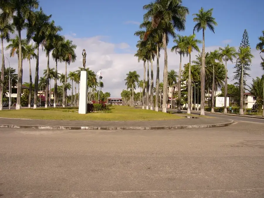
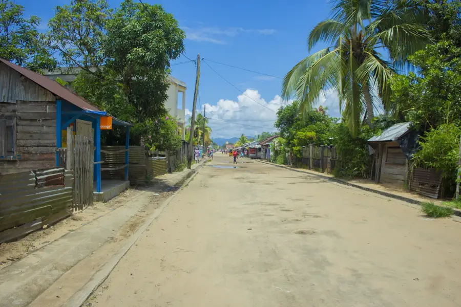
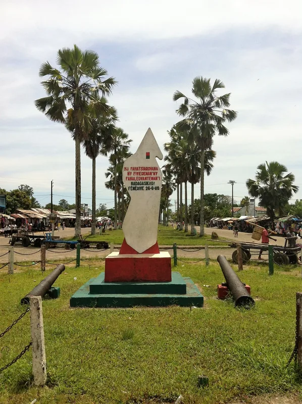
Explore nearby
Notable places around
Route planner — Car & Motorhome
Where do you start? We build the route here, with stops and country notes along the way.
© OpenStreetMap contributors · OpenRouteService
Sights nearby
Frequently asked questions
What is special about the Analavelona Forest?
Is it easily accessible?
Are there guided tours?
Best time to visit?
What to consider when camping?
Analavelona Forest: where is it located?
Analavelona Forest: when is the best time to visit?
Analavelona Forest: why is it worth visiting?

Nearby cities

History & landmarks
Nature
More places