Plizio Visual Lab
Toamasina
ℹ️Practical info — Toamasina
▾
🌤 Weather — 5 days
📍 Nearby
Sights nearby
💡 Tips
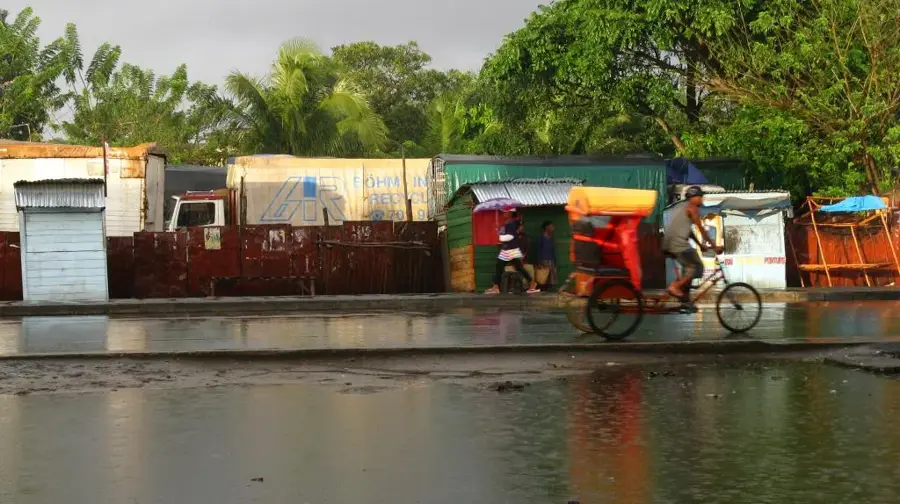
- Negotiate your pousse-pousse (rickshaw) fare before getting in.
- The climate is very humid and rain is frequent; always carry a light rain jacket.
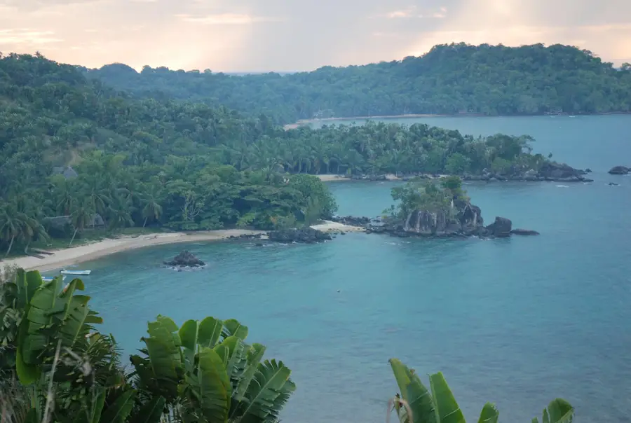
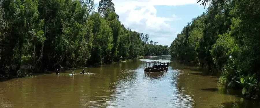
- Take a boat trip on the Canal des Pangalanes to experience the lush vegetation.
- Avoid walking alone at night near the port area for safety.
🍽 Food
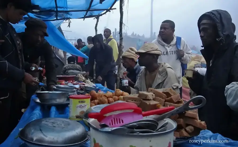
Find these Malagasy-Chinese fried noodles at small local street stalls.
Try grilled fish or shrimp at the open-air restaurants along the seafront.
🛍 Shopping · 🧘 Quiet spots
The city's main market, well-suited for buying local vanilla, cloves, and woven handicrafts.
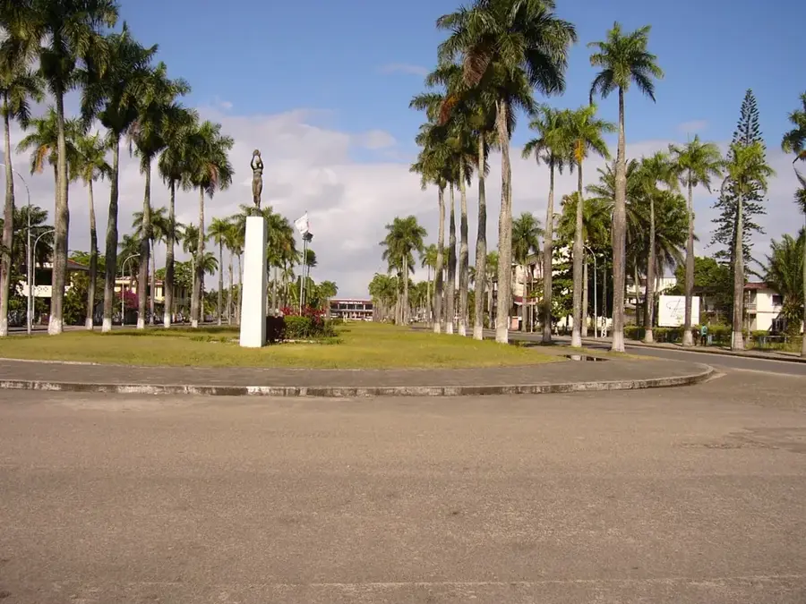
A pleasant, shaded square in the city center for a short rest.
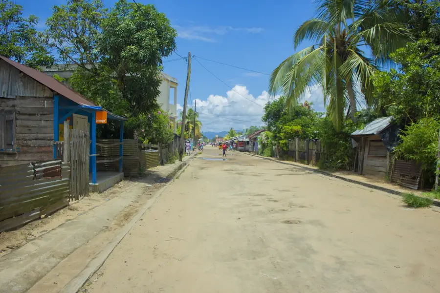
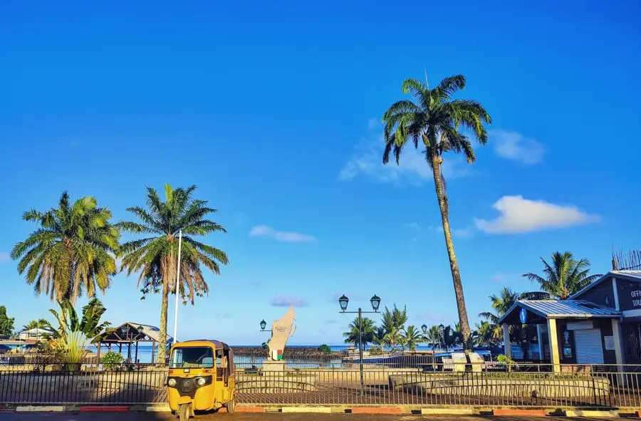
Take a relaxing walk along this scenic seaside boulevard lined with palm trees.
Water temperature…
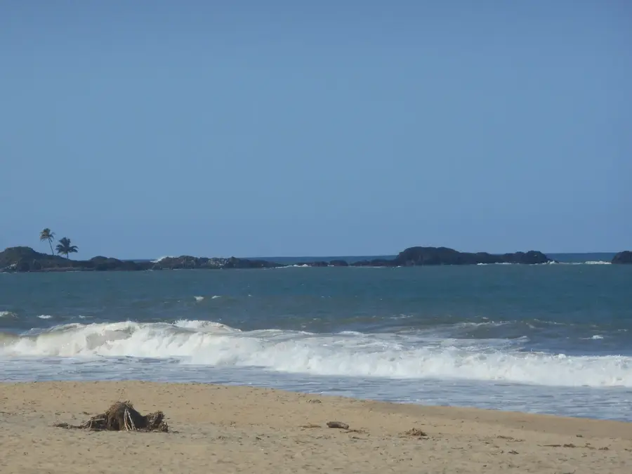
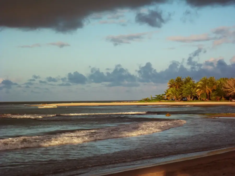
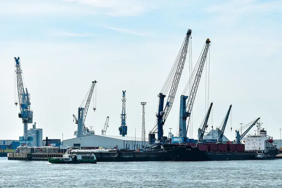
Toamasina, located on the eastern coast of Madagascar, is the country's preeminent seaport and a critical economic driver for the entire island. Historically known as Tamatave, the city functions as the primary hub for exporting major commodities such as vanilla, cloves, coffee, and chrome ore. Geographically, it sits on a sandy peninsula between the Ivondro Bay and the Indian Ocean, a location that leaves it highly susceptible to powerful tropical cyclones. A catastrophic storm in 1927 leveled much of the city's historic core, leading to a modern redesign featuring broad, palm-lined boulevards and a grid-like street pattern. Toamasina is also the northern terminus of the Canal des Pangalanes, an inland waterway stretching over 600 kilometers that facilitates safe transport along the turbulent east coast. The climate is humid tropical with significant rainfall year-round, supporting the lush rainforests of the surrounding region. The city is home to the University of Toamasina and serves as a cultural melting pot where Betsimisaraka traditions blend with European and Asian influences. As the port undergoes continuous expansion, Toamasina remains Madagascar's vital gateway to international trade.
- Location: Madagascar
- Nearby: Mahambo (49 km)
- Population: ~345.107 (2026)
Best time to visit & climate
The most pleasant time to visit is Aug–Oct.
| Jan | Feb | Mar | Apr | May | Jun | Jul | Aug | Sep | Oct | Nov | Dec | |
|---|---|---|---|---|---|---|---|---|---|---|---|---|
| Avg °C | 26 | 26 | 26 | 25 | 24 | 22 | 21 | 21 | 22 | 23 | 24 | 26 |
| Rain mm | 308 | 264 | 306 | 179 | 138 | 125 | 125 | 80 | 60 | 69 | 96 | 201 |
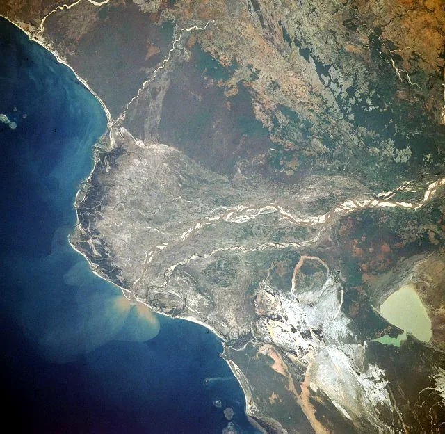
Geography
Facts
- Toamasina handles roughly 80% of Madagascar's international maritime traffic.
- A massive cyclone in 1927 destroyed nearly all of the city's infrastructure.
- The city serves as the northern entry point for the 645 km long Canal des Pangalanes.
- The name Toamasina translates to 'it seems salty' in the Malagasy language.
- It is the administrative capital of the Atsinanana region.
- The port facility has recently undergone significant expansion with international aid.
Explore nearby
Notable places around
Route planner — Car & Motorhome
Where do you start? We build the route here, with stops and country notes along the way.
© OpenStreetMap contributors · OpenRouteService
Frequently asked questions
What is Toamasina?
Can you swim there?
How is the atmosphere?
What is there to see?
When is the best time?
Toamasina: where is it located?
Toamasina: when is the best time to visit?
Toamasina: why is it worth visiting?

Nearby cities


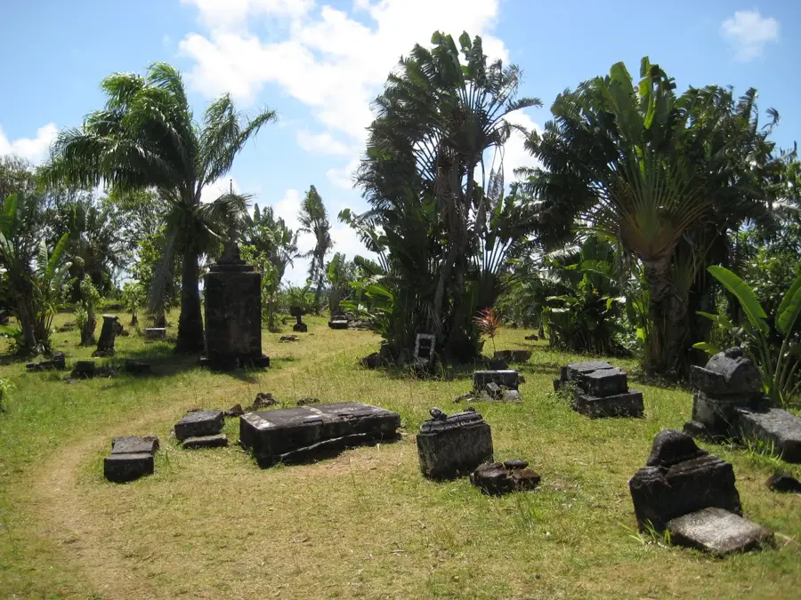
History & landmarks

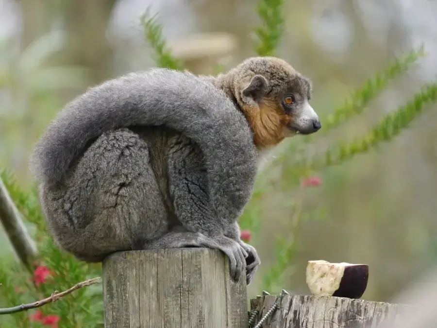
Nature
More places