Plizio Visual Lab
Maroantsetra
ℹ️Practical info — Maroantsetra
▾
🌤 Weather — 5 days
📍 Nearby
Sights nearby
💡 Tips
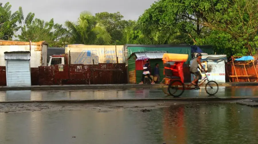
- Waterproof gear is essential, as this is one of the rainiest towns in the country.
- Book your excursions to Masoala National Park well in advance with local agencies.
- Power outages are frequent; always keep your devices charged when electricity is available.
- Bicycles and walking are the most reliable ways to navigate the muddy, unpaved roads.
🍽 Food
Try this coastal delicacy at small restaurants in the town center.
Grab a warm baguette in the morning from the local bakeries.
In late year, buy incredibly cheap and sweet lychees everywhere.
🛍 Shopping · 🧘 Quiet spots
Excellent fresh spices directly from local farmers.
Practical for the sun and rain, crafted locally.
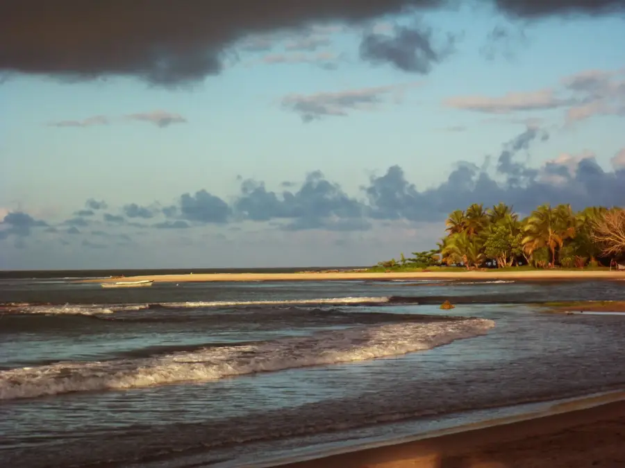
A beautiful place to watch the sunset over the water.
Peaceful in the early evening when the pirogues return.
Water temperature…
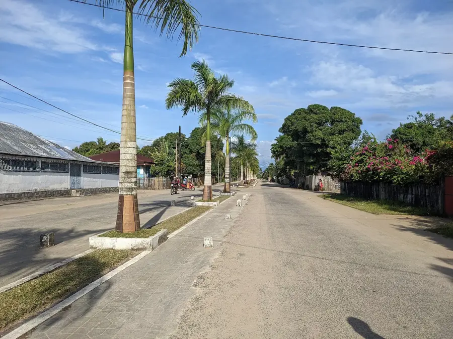
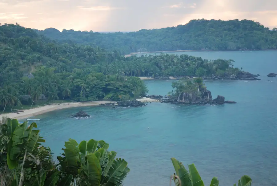
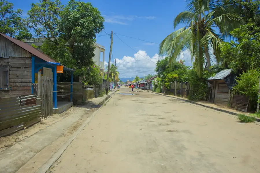
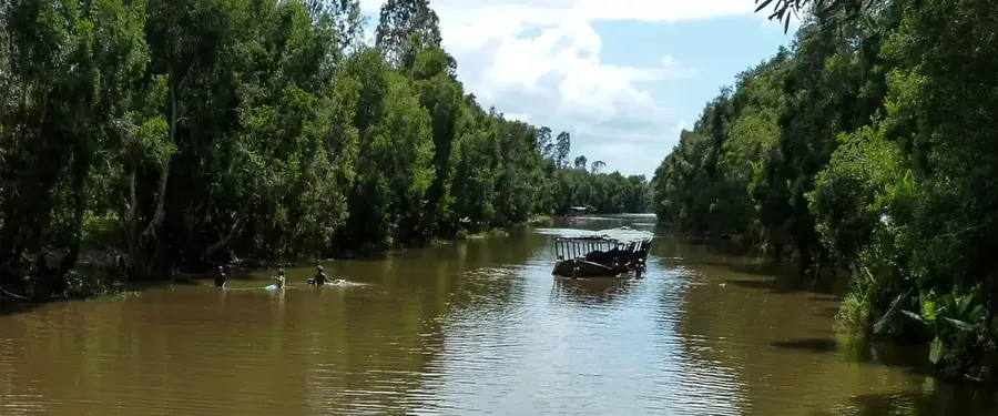
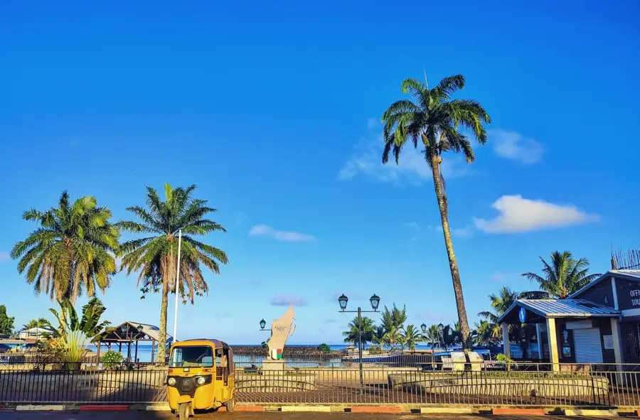
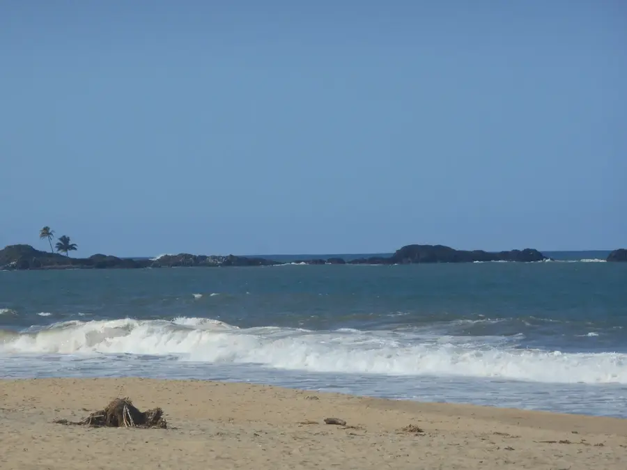
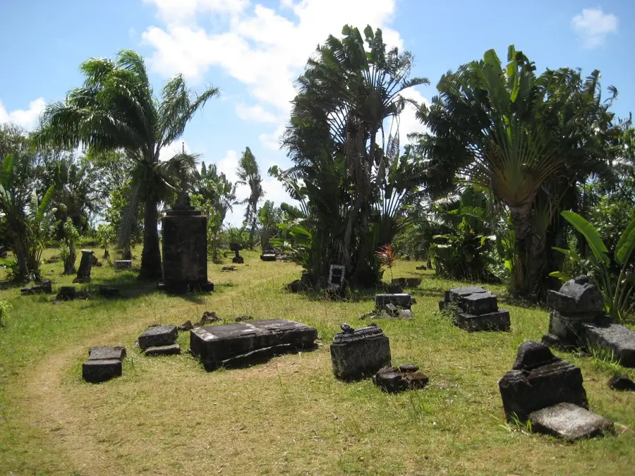
Maroantsetra is a significant market town and port located at the innermost point of Antongil Bay in northeastern Madagascar. As the primary gateway to the Masoala National Park and the Nosy Mangabe island reserve, it serves as a critical hub for biodiversity conservation and eco-tourism. The town is situated in one of the wettest regions of the country, which facilitates the intensive cultivation of vanilla, cloves, and rice in the surrounding fertile plains. Historically, it has functioned as a vital commercial link between the remote coastal communities and the national trade networks. The local culture is predominantly influenced by the Betsimisaraka people, whose traditions are deeply tied to the sea and the dense tropical rainforests. Despite its relative isolation, accessible mainly by air or sea, Maroantsetra remains a bustling center for the export of high-value agricultural products. The architecture of the town reflects a mix of traditional Malagasy styles and colonial-era influences, maintaining a unique coastal atmosphere.
- Location: Madagascar
- Nearby: Mananara Avaratra (53 km)
- Population: ~45.041 (2023)
Best time to visit & climate
The most pleasant time to visit is Sep–Nov.
| Jan | Feb | Mar | Apr | May | Jun | Jul | Aug | Sep | Oct | Nov | Dec | |
|---|---|---|---|---|---|---|---|---|---|---|---|---|
| Avg °C | 23 | 23 | 23 | 22 | 21 | 19 | 18 | 18 | 19 | 20 | 22 | 23 |
| Rain mm | 436 | 340 | 401 | 243 | 182 | 160 | 172 | 114 | 96 | 95 | 149 | 307 |
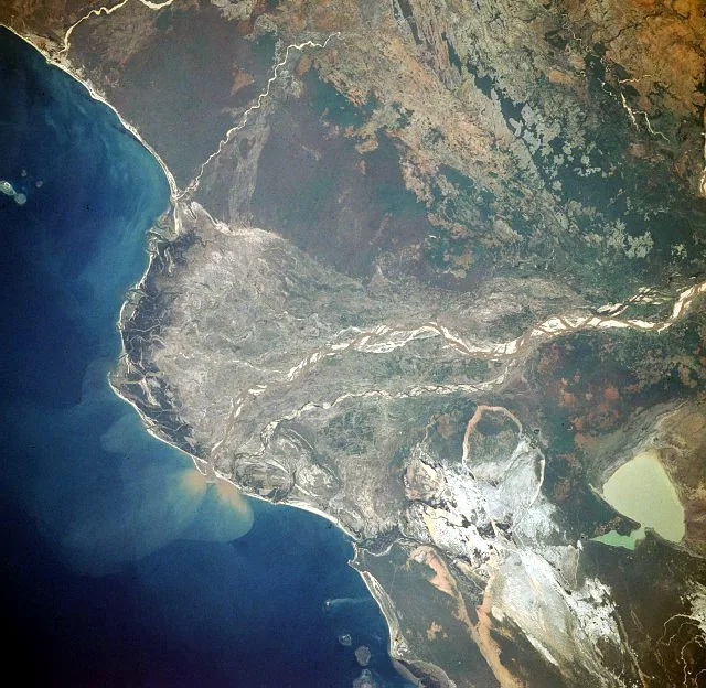
Geography
Facts
- Annual rainfall averages exceed 3,000 mm in the region
- Main access point to the 2,300 sq km Masoala National Park
- Major hub for vanilla and clove production in Analanjirofo
- Traditional territory of the Betsimisaraka ethnic group
- Primarily accessible by boat or the Maroantsetra Airport
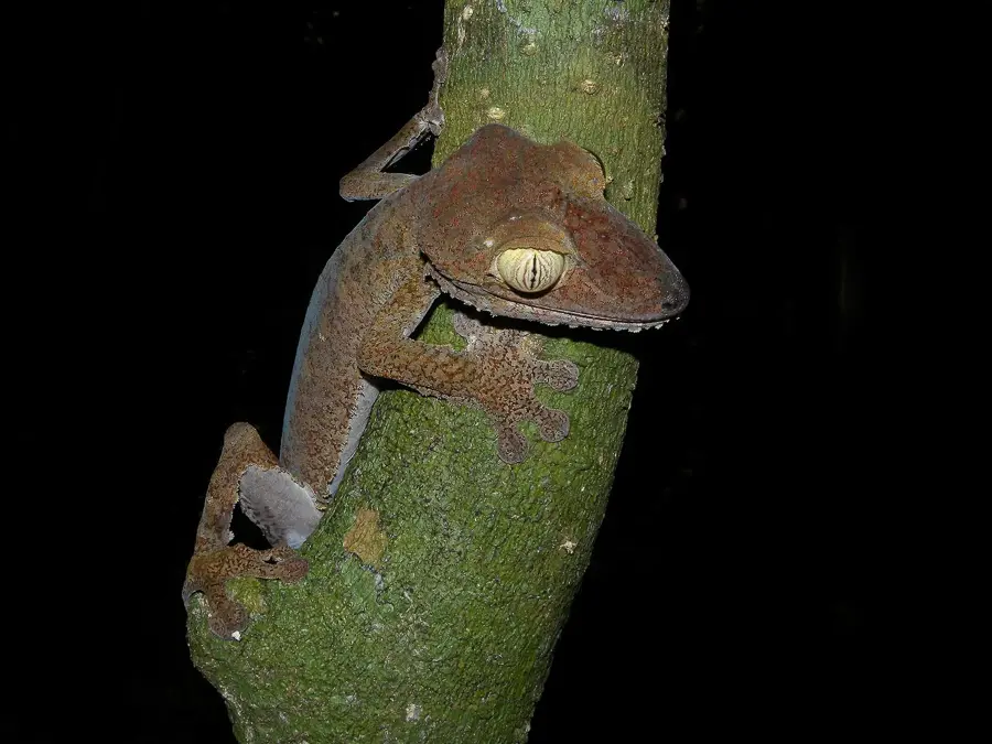
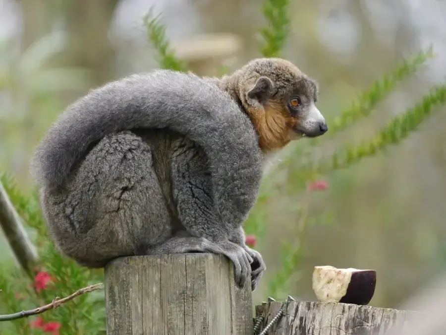
- Home to the endemic and endangered Tomato Frog
Explore nearby
Notable places around
Route planner — Car & Motorhome
Where do you start? We build the route here, with stops and country notes along the way.
© OpenStreetMap contributors · OpenRouteService
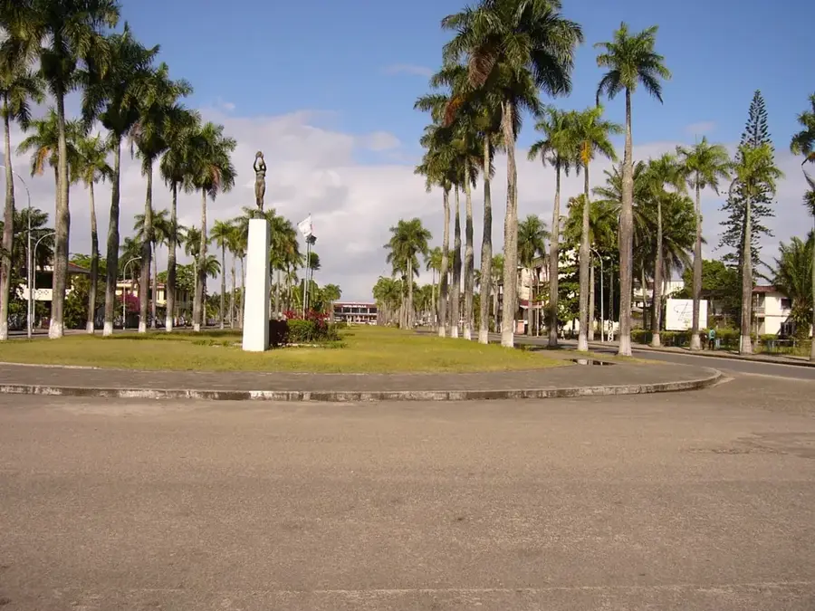
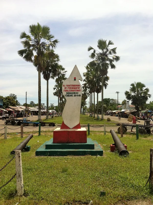
Sights in the town Maroantsetra (1)
Frequently asked questions
How many days to spend in Maroantsetra?
When is the best time to travel?
How to get there?
Gastronomy?
Family-friendly?
Maroantsetra: where is it located?
Maroantsetra: when is the best time to visit?
Maroantsetra: why is it worth visiting?

Nearby cities


History & landmarks
Nature
More places