Plizio Visual Lab
Moramanga

ℹ️Practical info — Moramanga
▾
🌤 Weather — 5 days
📍 Nearby
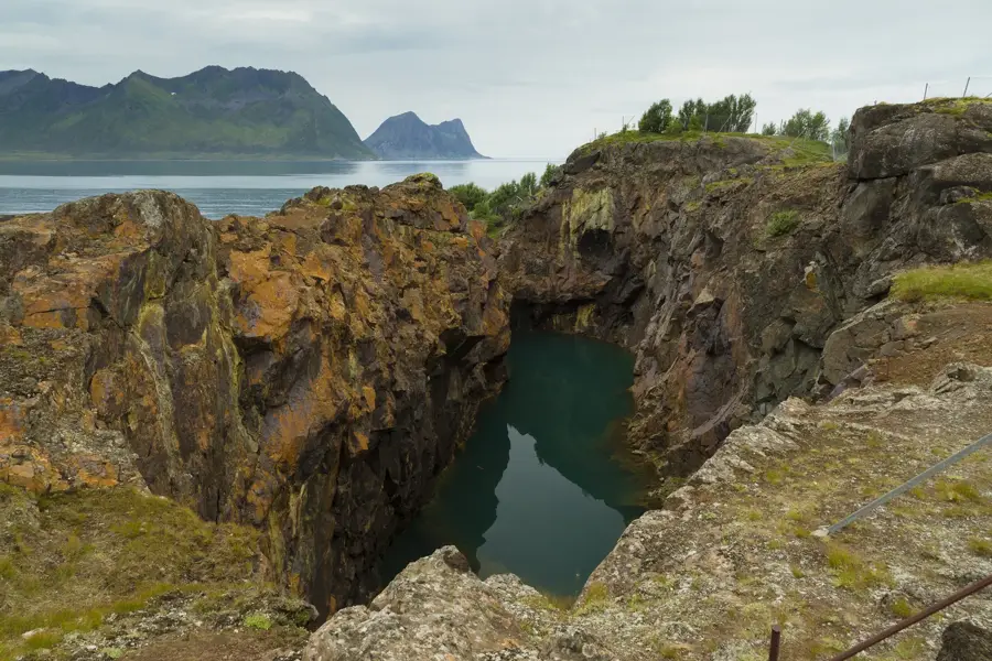
Sights nearby
💡 Tips
- Bring a warm jacket, as the higher altitude means chilly nights and misty mornings.
- Be vigilant at the busy taxi-brousse station, as pickpockets operate in crowded areas.
- It's the well-suited base to arrange guides and transport for the nearby Andasibe-Mantadia National Park.
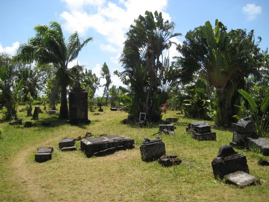
- Stop by the Gendarmerie Museum to learn about local history and the 1947 uprising.
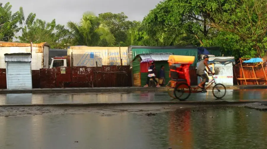
- The town is a major transport hub, so expect a lively and noisy atmosphere on the main roads.
🍽 Food
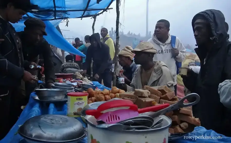
Pork with cassava leaves, best enjoyed at a bustling local gargotte.
A comforting bowl of pureed soup, convenient for the cool evenings.
Grilled meat skewers and sausages sold around the transport hubs.
🛍 Shopping · 🧘 Quiet spots
Buy locally harvested honey from stalls in the central market.
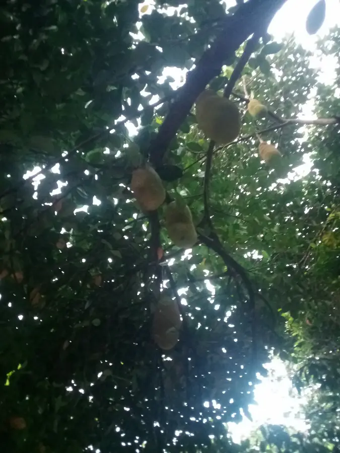
When in season, this sweet fruit is abundant and cheap here.
Walk slightly out of the center to find calm paths among the pine trees.
Escape the noise of the RN2 highway by exploring the smaller back alleys.
Water temperature…
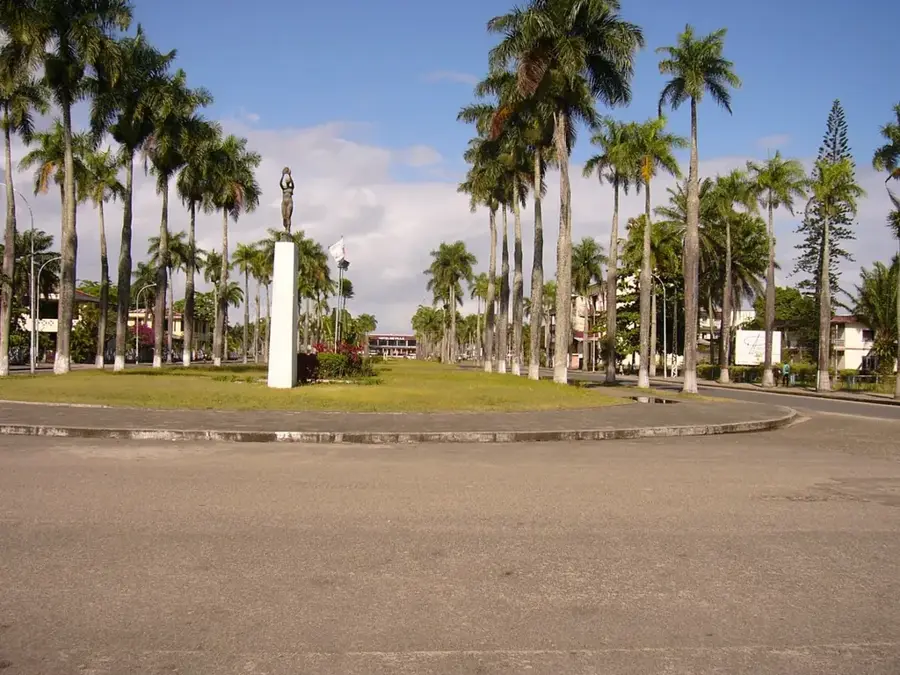
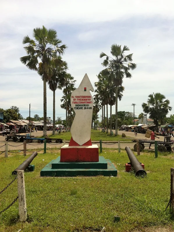
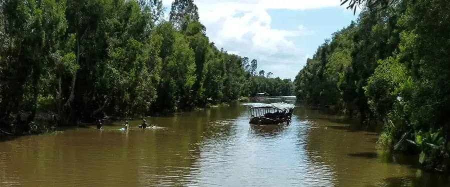
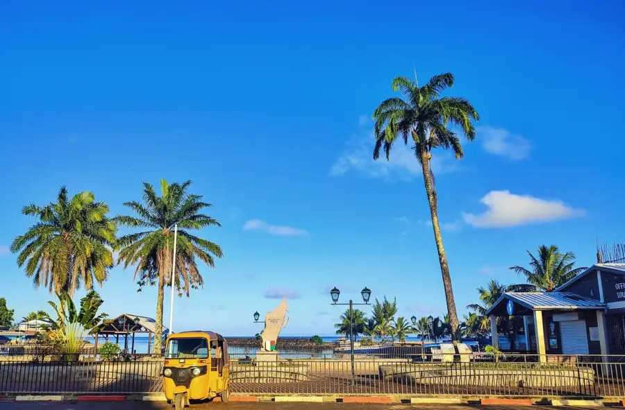
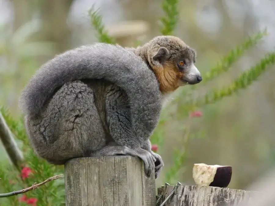
Moramanga is strategically located between the capital, Antananarivo, and the primary port of Toamasina in east-central Madagascar. The town holds immense historical significance as the epicenter of the 1947 uprising against French colonial rule, a pivotal event in the country's struggle for independence. Geographically, it serves as a major railway junction where the lines to the east coast and Lake Alaotra intersect. Moramanga is the gateway to the world-famous Andasibe-Mantadia National Park, home to the Indri, the largest extant lemur species. The local economy is driven by agricultural trade, forestry, and mining, particularly graphite extraction in the surrounding hills. It is the traditional territory of the Bezanozano people, whose cultural practices are deeply intertwined with the lush forests of the region. Today, Moramanga is a rapidly growing urban center that benefits from high transit traffic and its proximity to key natural reserves. The town provides a unique blend of colonial heritage, industrial activity, and vital ecological conservation efforts.
- Location: Madagascar
- Nearby: Ambatondrazaka (85 km)
- Population: ~60.456 (2023)
Best time to visit & climate
The most pleasant time to visit is Aug–Oct.
| Jan | Feb | Mar | Apr | May | Jun | Jul | Aug | Sep | Oct | Nov | Dec | |
|---|---|---|---|---|---|---|---|---|---|---|---|---|
| Avg °C | 21 | 21 | 20 | 19 | 17 | 15 | 14 | 15 | 16 | 18 | 20 | 21 |
| Rain mm | 457 | 393 | 390 | 244 | 187 | 184 | 185 | 121 | 93 | 119 | 214 | 368 |
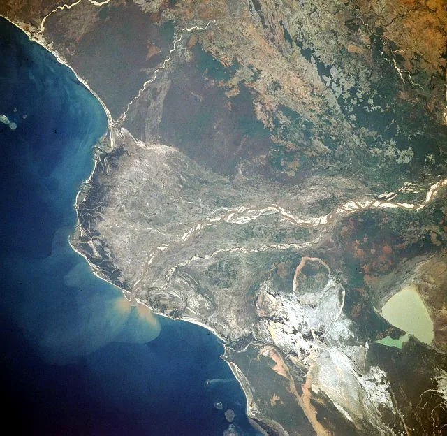
Geography
Facts
- Epicenter of the Malagasy Uprising against France in 1947
- Critical railway junction connecting the east coast and highlands
- Gateway to the Andasibe-Mantadia National Park complex
- Traditional capital of the Bezanozano ethnic group
- Major center for graphite mining and timber production
- Located on the high-traffic National Road 2 (RN2)
Explore nearby
Notable places around
Route planner — Car & Motorhome
Where do you start? We build the route here, with stops and country notes along the way.
© OpenStreetMap contributors · OpenRouteService
Frequently asked questions
How many days to spend in Moramanga?
Best time?
How to get there?
Gastronomy?
Family-friendly?
Moramanga: where is it located?
Moramanga: when is the best time to visit?
Moramanga: why is it worth visiting?

Nearby cities
History & landmarks
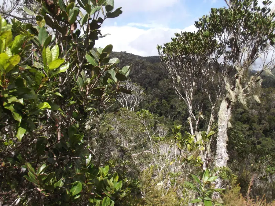
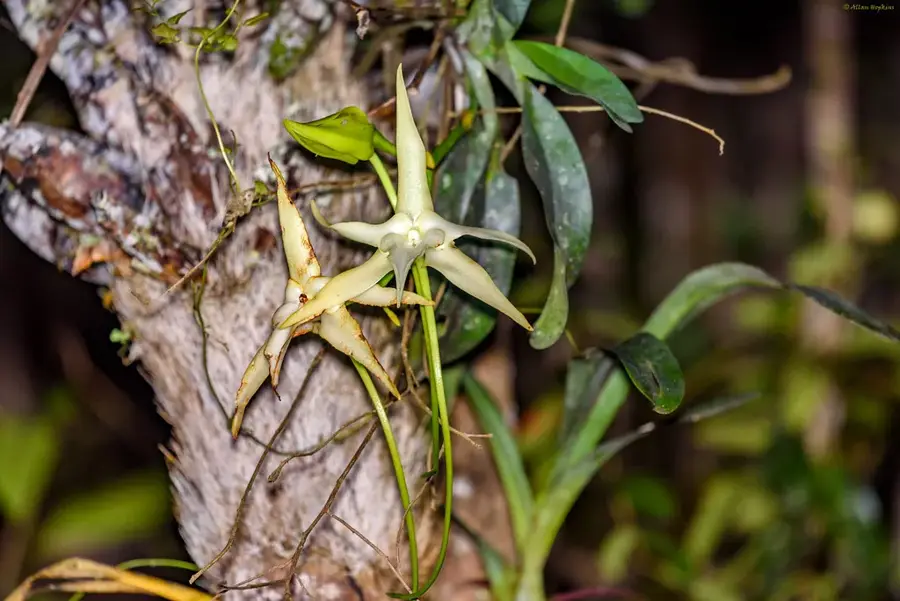
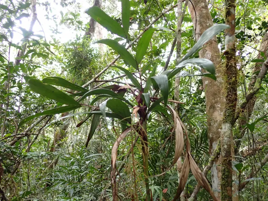
Nature
More places