Plizio Visual Lab
Fort Hartley
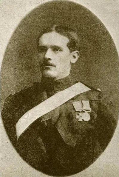
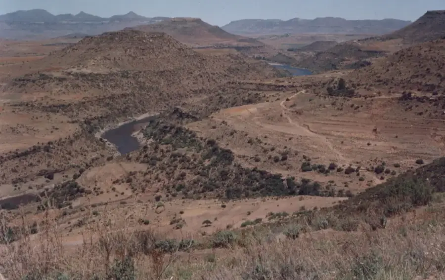
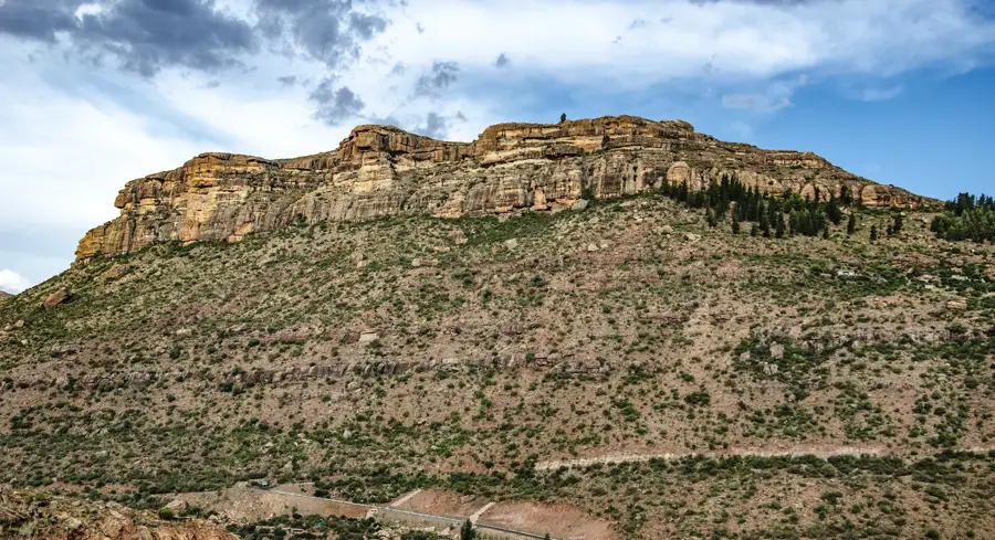
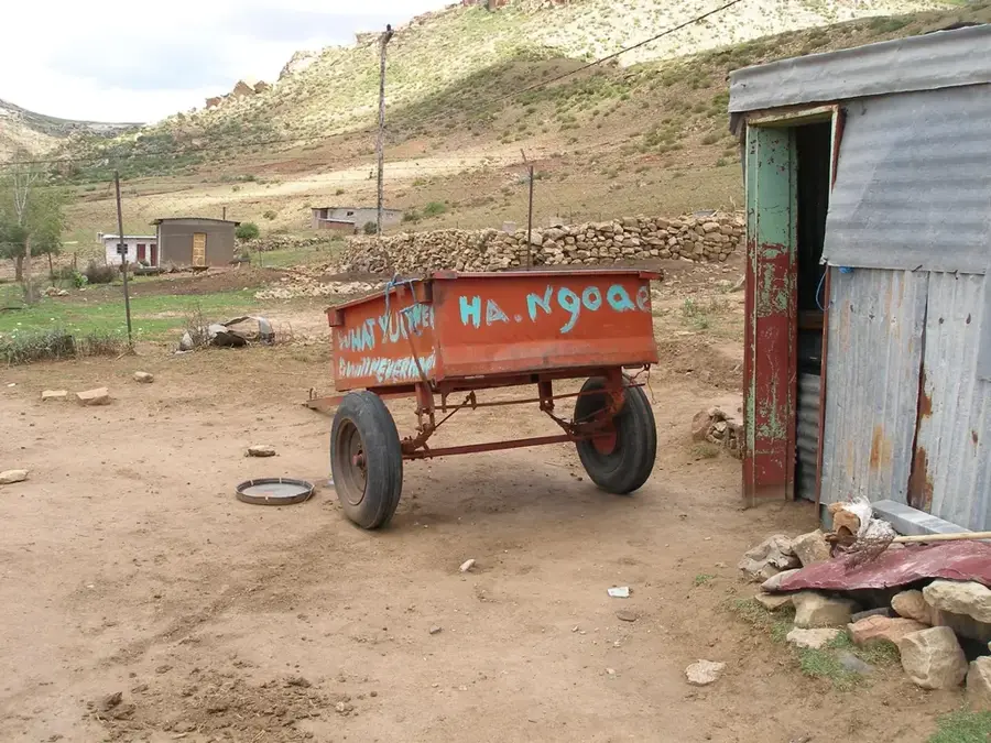
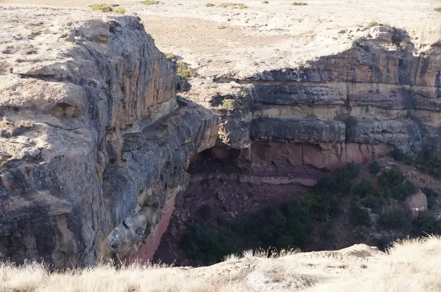
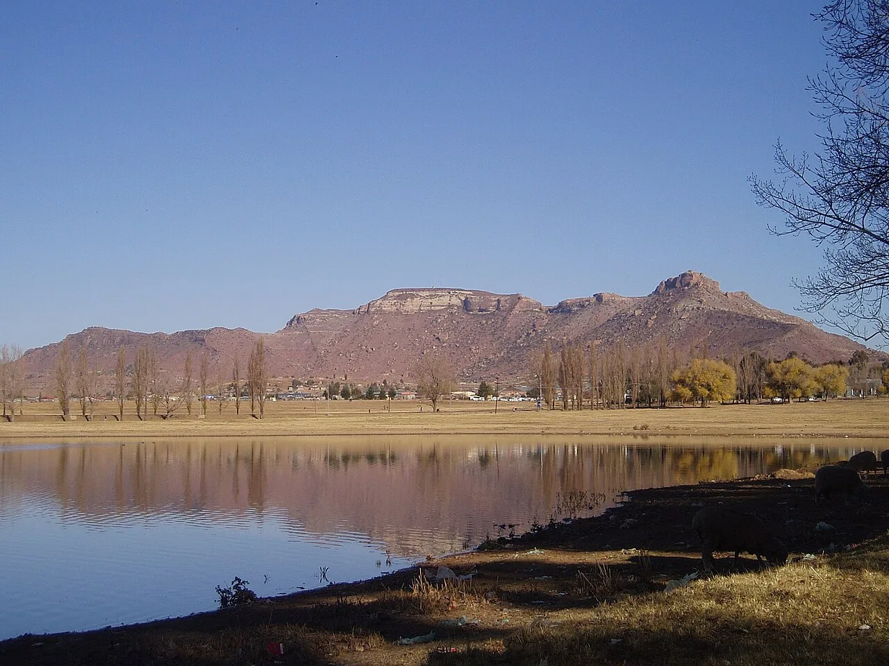
The ruins of Fort Hartley, located in the Quthing district of southern Lesotho, stand as a testament to British military presence in the late 19th century. The fort was established during or shortly after the Gun War (1880-1881) to secure the strategic border with the Cape Colony. It was named after Captain Hartley, a British officer who played a significant role in the regional conflicts of that era. Situated on high ground overlooking the Orange River (Senqu), the fort provided a commanding view of the surrounding landscape, underscoring its tactical importance as a monitoring outpost. Today, the remains of defensive walls, trenches, and building foundations offer a glimpse into colonial fortification architecture. For visitors and historians, Fort Hartley is a significant landmark that chronicles the complex cross-border relations and military history that shaped modern Lesotho and the wider southern African region.
- Location: Lesotho
- Nearby: Alwynskop (8 km)
Best time to visit & climate
The most pleasant time to visit is Jan, Feb, Dec.
| Jan | Feb | Mar | Apr | May | Jun | Jul | Aug | Sep | Oct | Nov | Dec | |
|---|---|---|---|---|---|---|---|---|---|---|---|---|
| Avg °C | 21 | 20 | 18 | 13 | 10 | 6 | 6 | 8 | 13 | 16 | 18 | 20 |
| Rain mm | 94 | 85 | 72 | 52 | 19 | 21 | 16 | 25 | 20 | 57 | 71 | 82 |
📋 Practical info
Geography
Facts
- Built in 1880 during the Basotho Gun War.
- Elevation: approx. 1,700 meters above sea level.
- Walls are 1.5 meters thick.
- Watchtower has a diameter of 4 meters.
- Restored between 1995 and 1998.
- Annual visitors: approx. 5,000.
Explore nearby
Notable places around
Route planner — Car & Motorhome
Where do you start? We build the route here, with stops and country notes along the way.
© OpenStreetMap contributors · OpenRouteService
Sights in the town Fort Hartley (1)
Sights nearby
Frequently asked questions
What is Fort Hartley?
Where exactly is it located?
Is the path there marked?
What remains of the structure?
Can the ruins be visited for free?
Fort Hartley: where is it located?
Fort Hartley: when is the best time to visit?
Fort Hartley: why is it worth visiting?

Nearby cities
History & landmarks
Nature
More places