Plizio Visual Lab
Sebapala Bridge

Weather…
Water temperature…
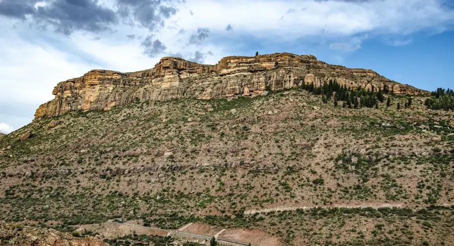
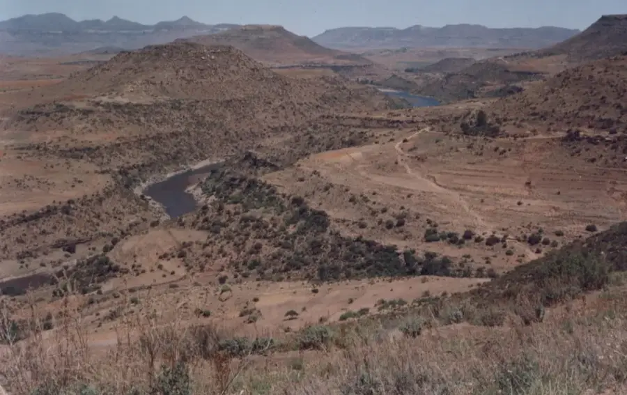
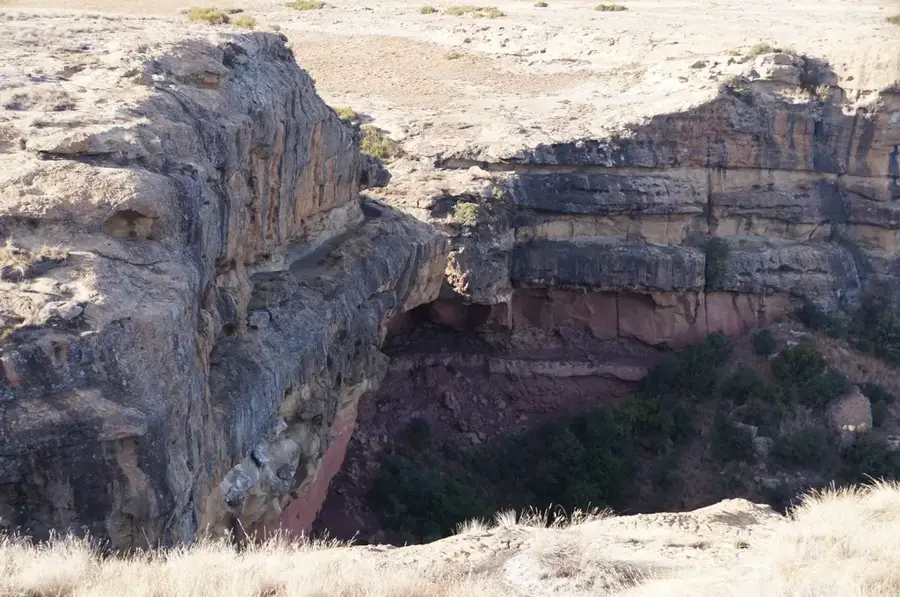
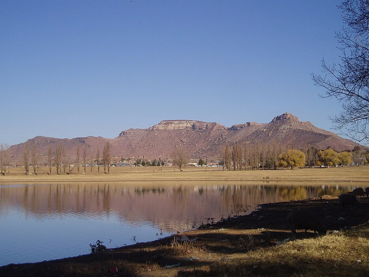
The Sebapala Bridge is a vital infrastructural link in the rugged terrain of southern Lesotho, spanning the Sebapala River in the Quthing District. This sturdy crossing provides an essential connection between remote mountain villages and the larger regional towns, most notably the nearby Mount Moorosi. Before its construction, the rising waters of the Sebapala during the rainy season would frequently cut off access for local communities, isolating them from markets, schools, and healthcare. Now, the bridge facilitates the safe and reliable transport of livestock and agricultural goods, which are the lifeblood of the rural Basotho economy. Set against a backdrop of dramatic cliffs and deep river valleys, the bridge is a testament to the engineering efforts required to navigate Lesotho's challenging geography. It serves as a strategic point for travelers venturing into the southern highlands, offering access to areas rich in history and natural beauty. The bridge not only bridges a physical gap but also symbolises the ongoing development and integration of Lesotho's most secluded regions.
- Location: Lesotho
- Nearby: Phamong (16 km)
Best time to visit & climate
The most pleasant time to visit is Jan, Feb, Dec.
| Jan | Feb | Mar | Apr | May | Jun | Jul | Aug | Sep | Oct | Nov | Dec | |
|---|---|---|---|---|---|---|---|---|---|---|---|---|
| Avg °C | 18 | 17 | 15 | 11 | 8 | 5 | 4 | 7 | 11 | 14 | 15 | 17 |
| Rain mm | 125 | 107 | 88 | 54 | 18 | 17 | 18 | 29 | 29 | 73 | 90 | 109 |
📋 Practical info
Geography
Facts
- The bridge was completed in 1974.
- It is 150 meters long.
- The bridge is 6 meters wide.
- Located 100 km from Maseru.
- Has a load capacity of 30 tons.
- Connects 5 villages to the outside world.
Explore nearby
Notable places around
Route planner — Car & Motorhome
Where do you start? We build the route here, with stops and country notes along the way.
© OpenStreetMap contributors · OpenRouteService
Sights nearby
Frequently asked questions
Where is the Sebapala-Brücke located?
Is the bridge passable for vehicles?
What view does the bridge offer?
When is the best time to visit?
Are there hiking trails nearby?
Sebapala Bridge: where is it located?
Sebapala Bridge: when is the best time to visit?
Sebapala Bridge: why is it worth visiting?

Nearby cities
History & landmarks
Nature
More places