Plizio Visual Lab
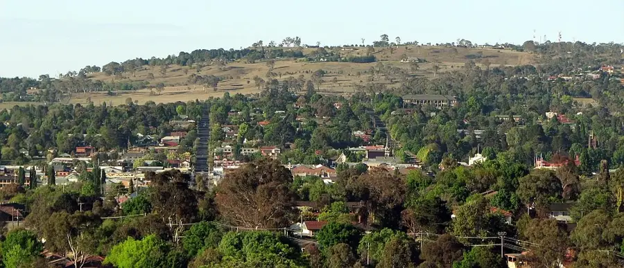
Qhomane Hill

Weather…
Water temperature…
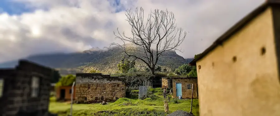
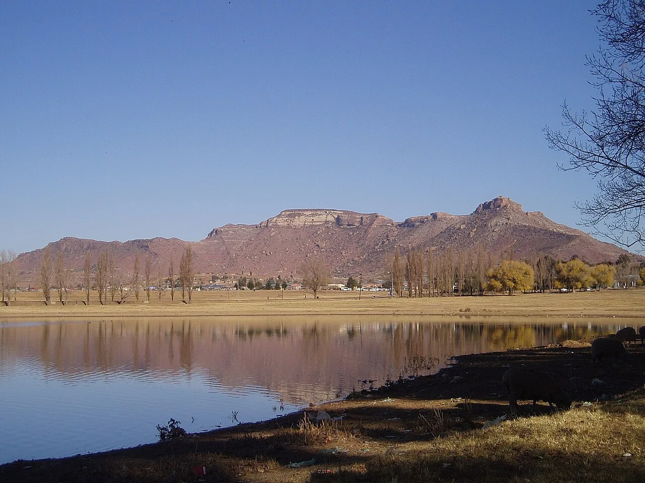
Qhomane Hill stands as a natural defensive bastion in Lesotho's Mafeteng District, holding profound historical weight for the Basotho nation. Its sheer cliffs and commanding height provided a critical strategic advantage during the 19th-century border wars against encroaching colonial forces. Visitors to the summit can still explore the remnants of ancient stone walling and defensive fortifications that highlight the ingenuity of the Basotho defenders. The panoramic views from the hill across the surrounding plains were essential for spotting advancing enemy troops. Today, the site remains a powerful symbol of national resilience and resistance, offering a unique combination of dramatic natural scenery and tangible links to Lesotho's courageous past.
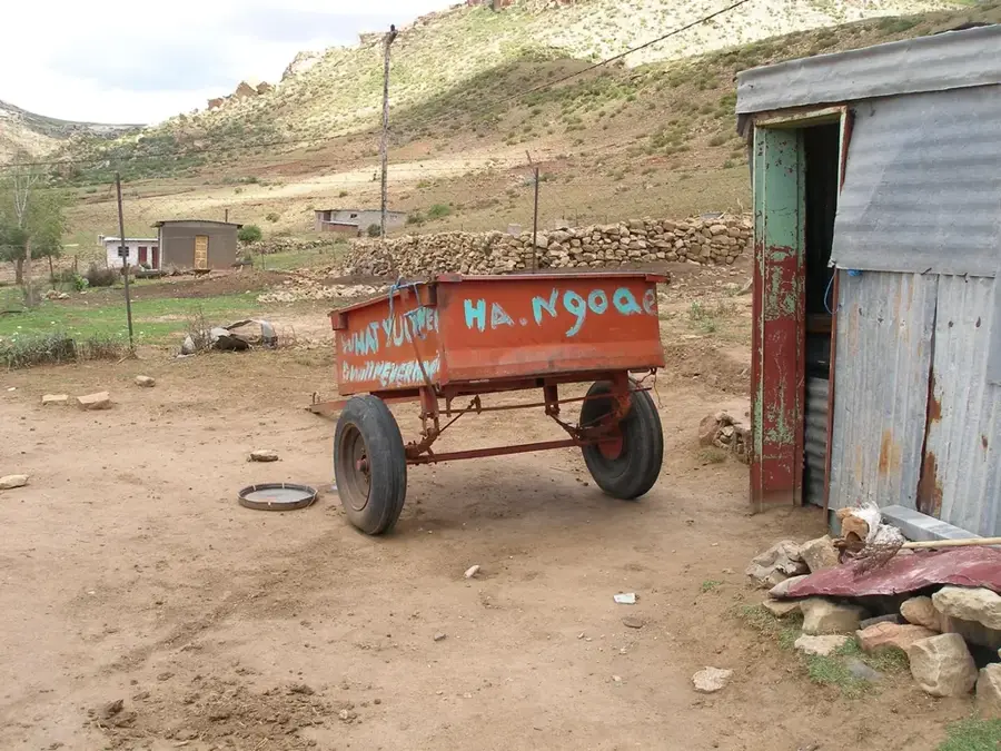
- Location: Lesotho
- Nearby: Mafeteng (12 km)
Best time to visit & climate
The most pleasant time to visit is Jan, Feb, Dec.
| Jan | Feb | Mar | Apr | May | Jun | Jul | Aug | Sep | Oct | Nov | Dec | |
|---|---|---|---|---|---|---|---|---|---|---|---|---|
| Avg °C | 20 | 19 | 17 | 13 | 10 | 6 | 6 | 8 | 13 | 16 | 18 | 20 |
| Rain mm | 105 | 92 | 75 | 55 | 21 | 20 | 11 | 25 | 20 | 64 | 80 | 98 |
📋 Practical info
Geography
Facts
- Elevation: approx. 2,600 meters above sea level.
- Stone walls up to 2 meters thick.
- National heritage site since 1975.
- Used during the Difaqane wars (1820–1830).
- Hill rises about 300 meters above surrounding valley.
- Fortress covers an area of about 1 hectare.
Explore nearby
Notable places around
Route planner — Car & Motorhome
Where do you start? We build the route here, with stops and country notes along the way.
© OpenStreetMap contributors · OpenRouteService
Sights nearby
Frequently asked questions
What is special about Qhomane Hill?
Can you hike all the way to the top?
How long does the climb take?
What clothing is recommended?
Are there archaeological finds there?
Qhomane Hill: where is it located?
Qhomane Hill: when is the best time to visit?
Qhomane Hill: why is it worth visiting?

Nearby cities
History & landmarks


Nature
More places