Plizio Visual Lab
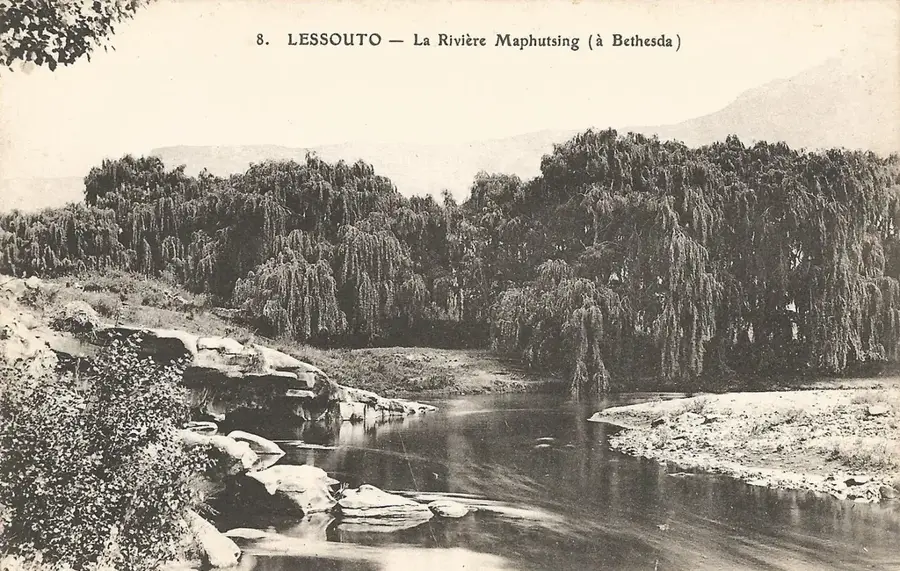
Makhaleng River
Weather…
Water temperature…
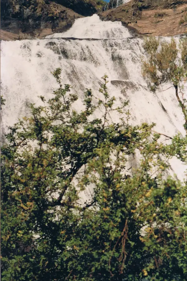
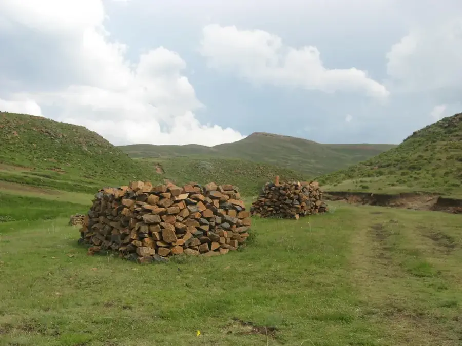
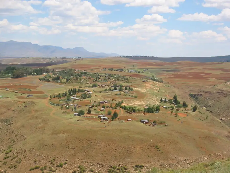
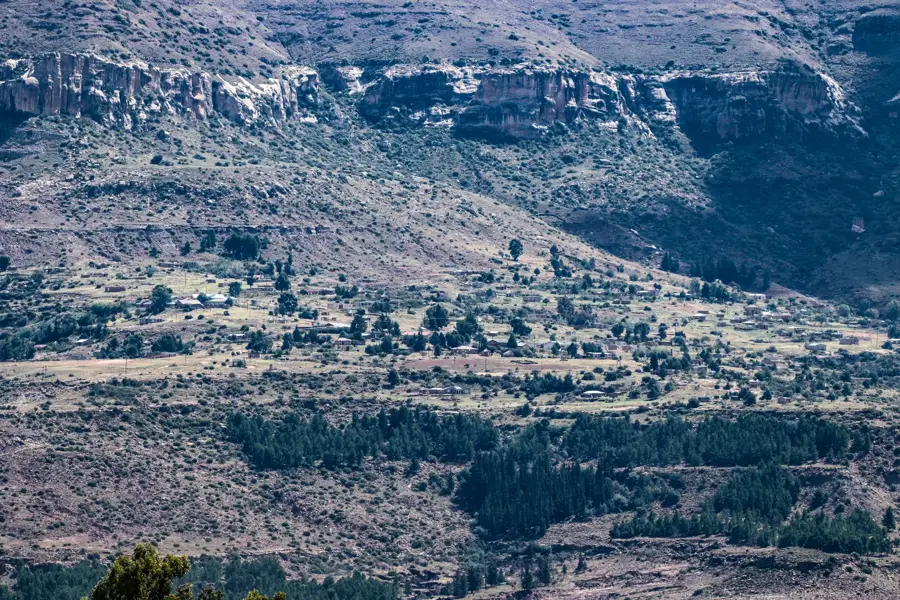
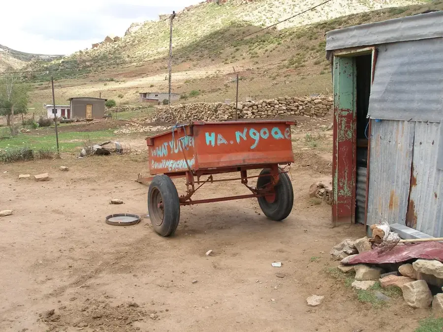
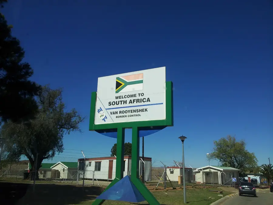
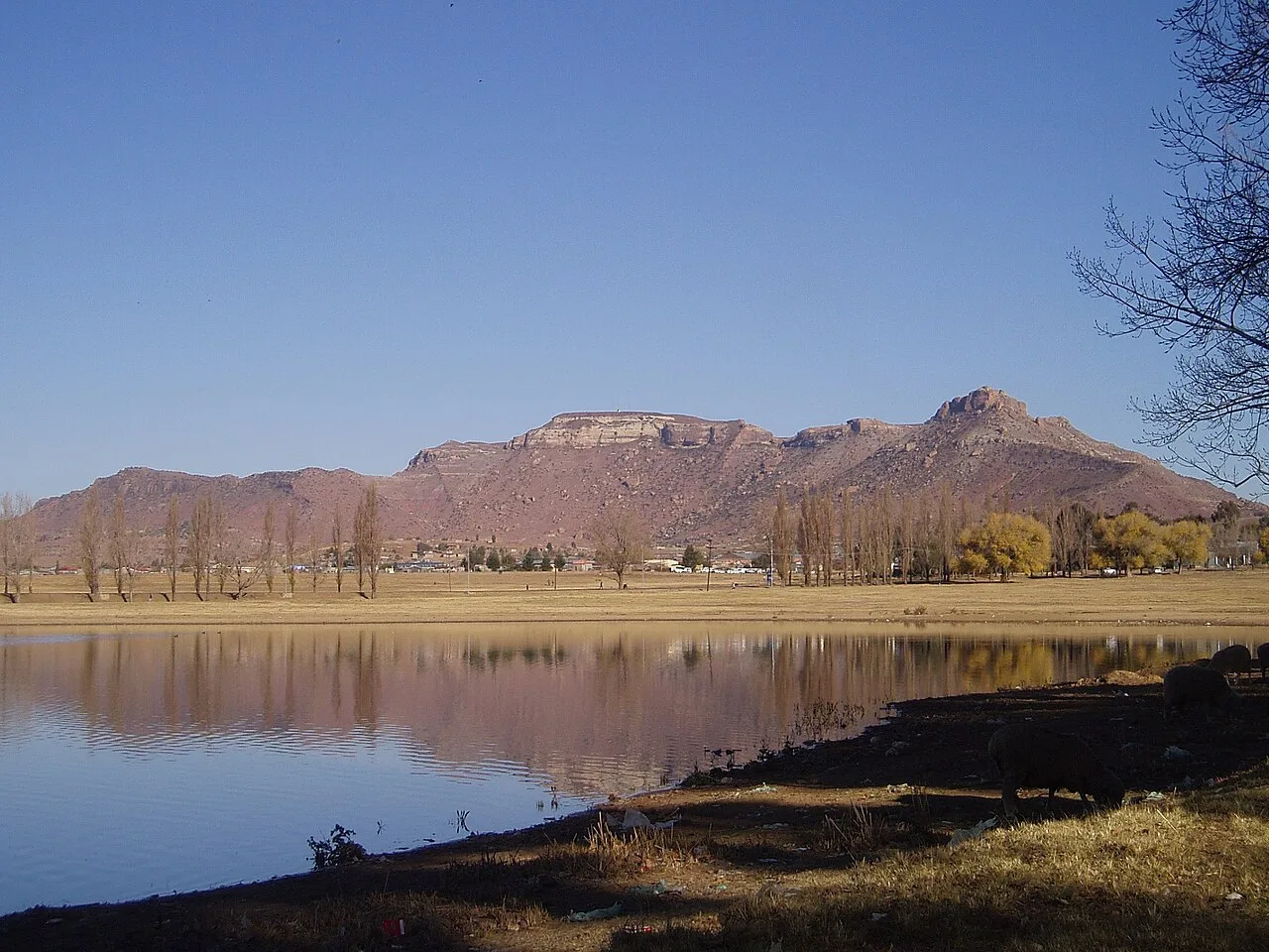
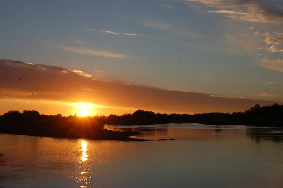
The Makhaleng River is one of the most prominent watercourses in western Lesotho and a major tributary of the Orange River. Originating in the central highlands southwest of Maseru, it flows for approximately 209 kilometers before reaching the border with South Africa and eventually merging with the main channel. The river is renowned for its spectacular scenery, including the Qiloane Falls, which are a striking geological feature of the area. The Makhaleng catchment is characterized by deep valleys and rolling hills, which are extensively used for subsistence farming by the Basotho people. During the rainy season, the river's flow increases dramatically, playing a vital role in irrigation and water supply for rural communities. Geomorphologically, the river has carved deep gorges into basalt and sandstone over millennia, making it a key subject for studying erosion processes in the southern African highlands.
- Location: Lesotho
- Nearby: Mohale's Hoek (18 km)
Best time to visit & climate
The most pleasant time to visit is Jan, Feb, Dec.
| Jan | Feb | Mar | Apr | May | Jun | Jul | Aug | Sep | Oct | Nov | Dec | |
|---|---|---|---|---|---|---|---|---|---|---|---|---|
| Avg °C | 20 | 19 | 17 | 13 | 10 | 6 | 6 | 8 | 13 | 16 | 18 | 20 |
| Rain mm | 105 | 92 | 75 | 55 | 21 | 20 | 11 | 25 | 20 | 64 | 80 | 98 |
📋 Practical info
Geography
Facts
- The river has a total length of approximately 209 kilometers.
- It flows into the Orange River near the town of Mohale's Hoek.
- Home to the distinctive and scenic Qiloane Falls.
- The catchment area covers large parts of the western Lesotho highlands.
- Crucial water source for agriculture in the Maseru and Mohale's Hoek districts.
- The river's path is defined by deep gorges cut through basaltic rock layers.
Explore nearby
Notable places around
Route planner — Car & Motorhome
Where do you start? We build the route here, with stops and country notes along the way.
© OpenStreetMap contributors · OpenRouteService
Sights nearby
Frequently asked questions
Where is the Makhaleng River located?
What is the Makhaleng Bridge?
Can you hike by the river?
Are there waterfalls on the Makhaleng?
What is the Makhaleng Valley known for?
Makhaleng River: where is it located?
Makhaleng River: when is the best time to visit?
Makhaleng River: why is it worth visiting?

Nearby cities


History & landmarks

Nature
More places