Plizio Visual Lab
Telle River Nature Area

Weather…
Water temperature…
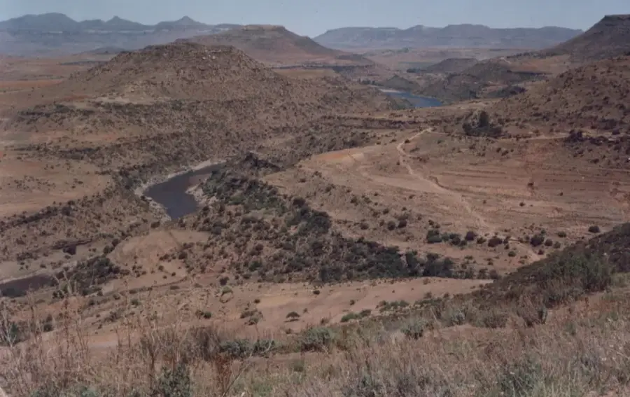
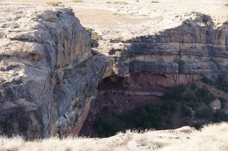
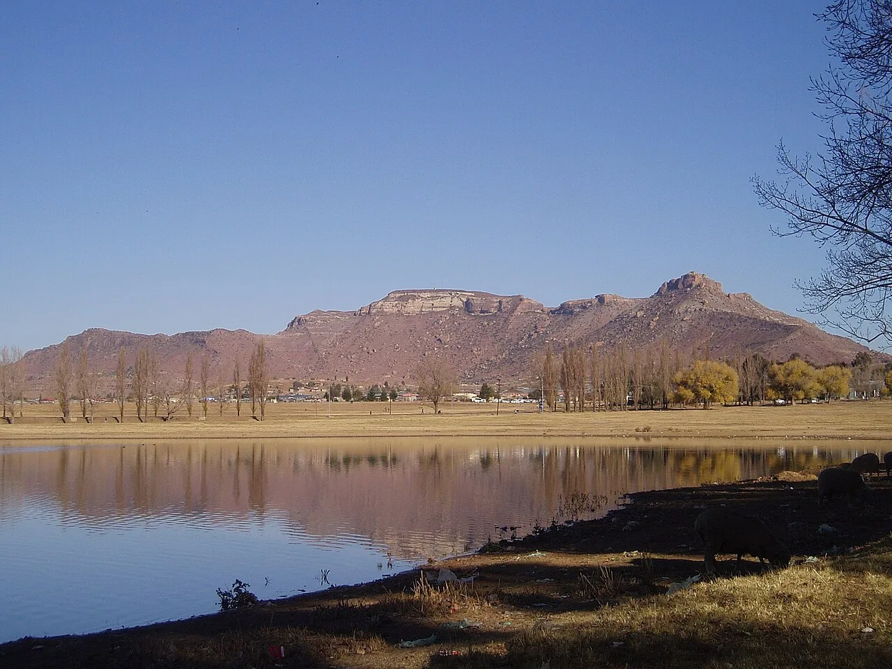
The Telle River Nature Area lies along the pretty southern border between Lesotho and South Africa, protecting a vital riparian ecosystem in the heart of the highlands. The Telle River itself defines this natural boundary, its winding path supporting a rich variety of life including dense riverine thickets and rare indigenous willow species. These lush banks are a haven for birdwatchers, who often spot lively Kingfishers darting across the water's surface in search of prey. During the dry season, the importance of this protected area grows immensely as the river becomes a critical permanent watering hole for the region's diverse wildlife. The landscape features a striking blend of flowing water, steep mountain slopes, and verdant meadows, making it a good destination for those seeking solitude and raw natural beauty. Protecting this riverine corridor is essential for maintaining local biodiversity and ensuring the health of the watershed. For visitors, the Telle River area features a peaceful retreat into one of Lesotho's most serene borderlands, showcasing the delicate balance between the mountain environment and the life-giving waters that run through it.
- Location: Lesotho
- Nearby: Alwynskop (6 km)
Best time to visit & climate
The most pleasant time to visit is Jan, Feb, Dec.
| Jan | Feb | Mar | Apr | May | Jun | Jul | Aug | Sep | Oct | Nov | Dec | |
|---|---|---|---|---|---|---|---|---|---|---|---|---|
| Avg °C | 21 | 20 | 18 | 13 | 10 | 6 | 6 | 8 | 13 | 16 | 18 | 20 |
| Rain mm | 94 | 85 | 72 | 52 | 19 | 21 | 16 | 25 | 20 | 57 | 71 | 82 |
📋 Practical info
Geography
Facts
- River length: 150 km
- Hippopotamus population: 50
- Bird species: 100+
- Farmland area: 20 km²
- Discharge: 10 m³/s
- Elevation: 1,200 m
Explore nearby
Notable places around
Route planner — Car & Motorhome
Where do you start? We build the route here, with stops and country notes along the way.
© OpenStreetMap contributors · OpenRouteService
Sights nearby
Frequently asked questions
Which border does the Telle River mark?
Are there official border crossings?
Can you camp by the river?
When is the best time to visit?
Is swimming in the river allowed?
Telle River Nature Area: where is it located?
Telle River Nature Area: when is the best time to visit?
Telle River Nature Area: why is it worth visiting?

Nearby cities
History & landmarks
Nature
More places