Plizio Visual Lab
Sepapu's Gate

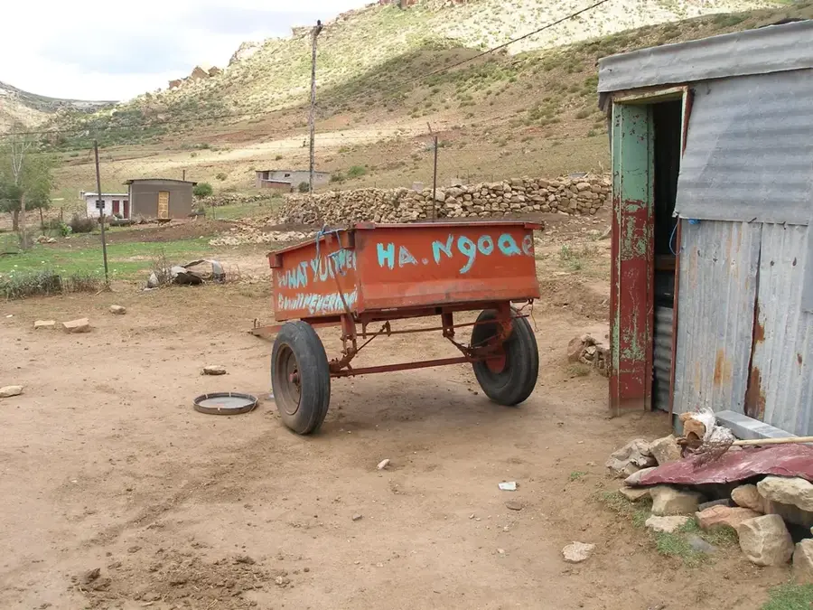
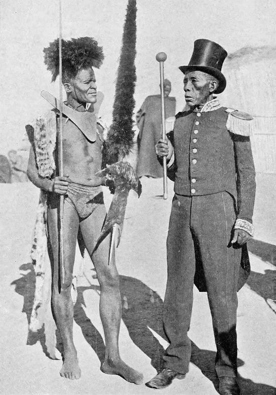
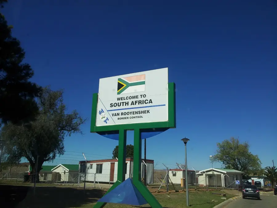
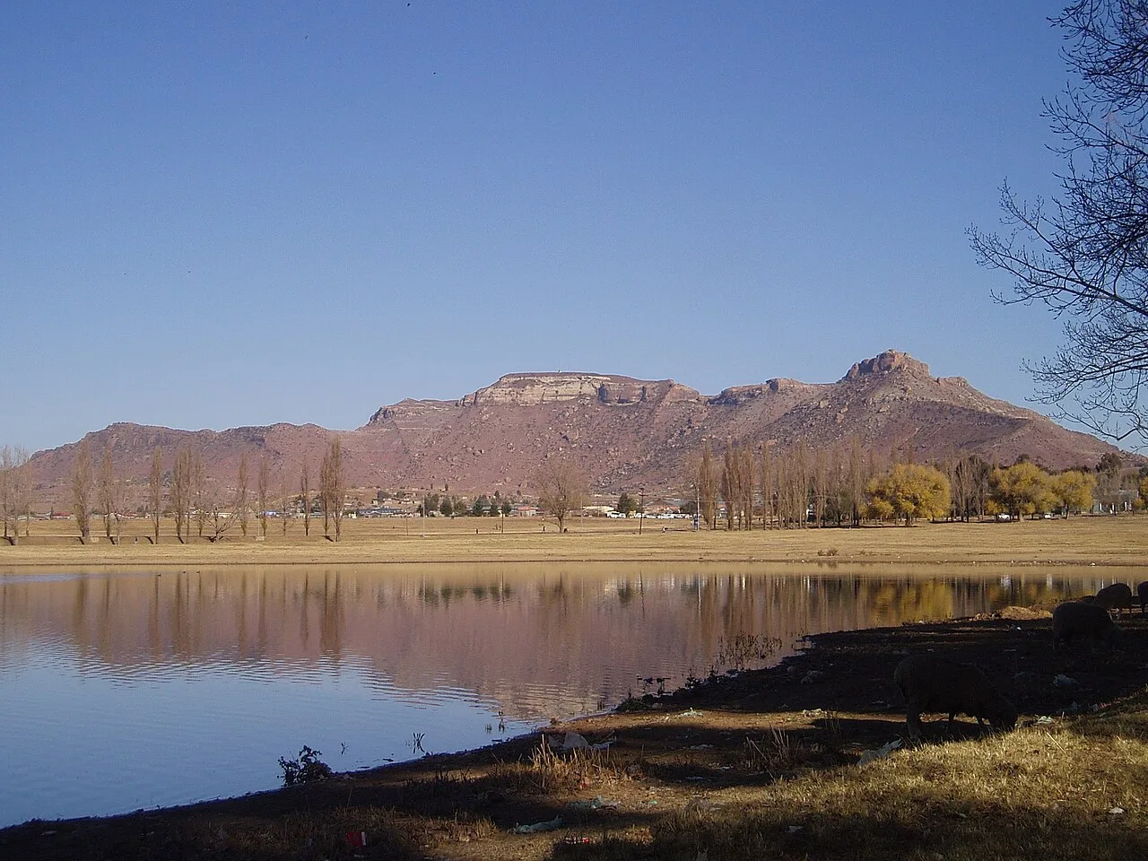
Sepapu Gate border crossing is in western Lesotho near Mafeteng town. It connects Lesotho to South Africa's Free State province. The gate was built in the 1980s and is an important trade route for agricultural products. The border post has a capacity of about 60 vehicles per day. The region is agricultural, with maize farming and livestock. Sepapu is also significant for regional tourism, providing access to healing springs and traditional villages. The crossing is monitored by customs authorities of both countries. Economically, it supports local traders and farmers. The road has been upgraded in recent years to improve transport. Sepapu contributes to economic development in the border region.
- Location: Lesotho
- Nearby: Mafeteng (13 km)
Best time to visit & climate
The most pleasant time to visit is Feb, Nov, Dec.
| Jan | Feb | Mar | Apr | May | Jun | Jul | Aug | Sep | Oct | Nov | Dec | |
|---|---|---|---|---|---|---|---|---|---|---|---|---|
| Avg °C | 23 | 22 | 19 | 15 | 11 | 7 | 7 | 10 | 14 | 18 | 20 | 22 |
| Rain mm | 81 | 79 | 67 | 53 | 20 | 16 | 9 | 17 | 14 | 41 | 62 | 75 |
📋 Practical info
Geography
Facts
- Built in the 1980s.
- Average 60 vehicles per day.
- Distance to Mafeteng: 12 km.
- Altitude: 1,700 meters.
- Capacity for 25 trucks per day.
- Annual trade volume: USD 6 million.
Explore nearby
Notable places around
Route planner — Car & Motorhome
Where do you start? We build the route here, with stops and country notes along the way.
© OpenStreetMap contributors · OpenRouteService
Sights nearby
Frequently asked questions
Where is Sepapu's Gate located?
What are the opening hours of Sepapu's Gate?
Is this border crossing used a lot?
Are there paved roads there?
Can you exchange money there?
Sepapu's Gate: where is it located?
Sepapu's Gate: when is the best time to visit?
Sepapu's Gate: why is it worth visiting?

Nearby cities
History & landmarks


Nature
More places