Plizio Visual Lab
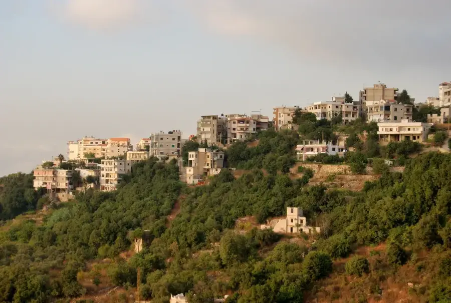
Mount Kneisseh

Weather…
Water temperature…
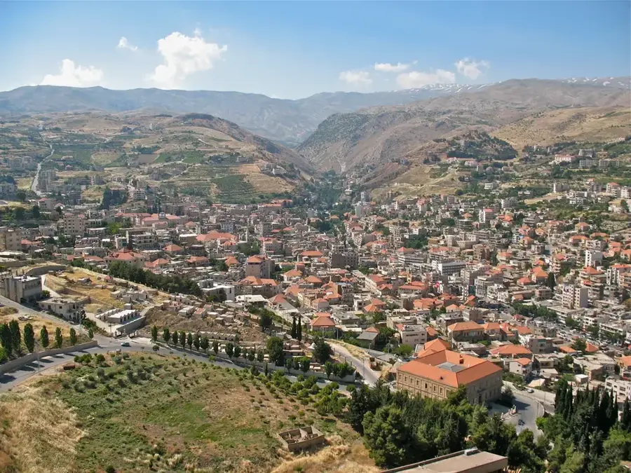
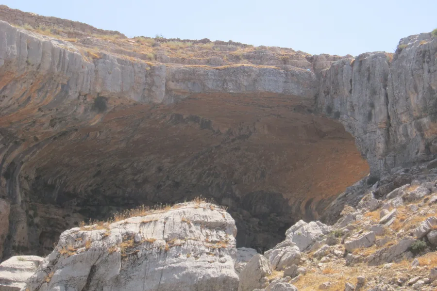
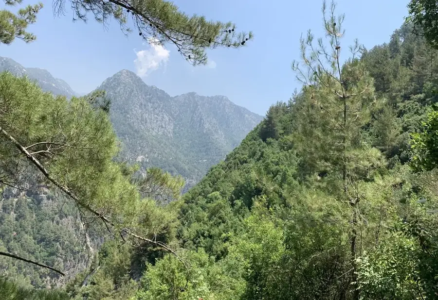
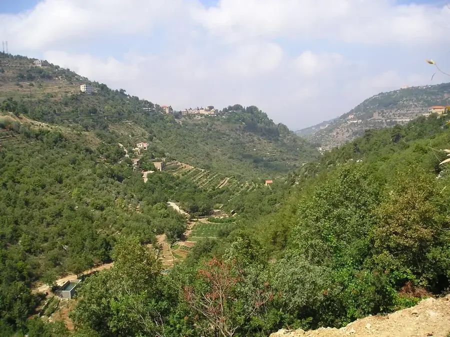
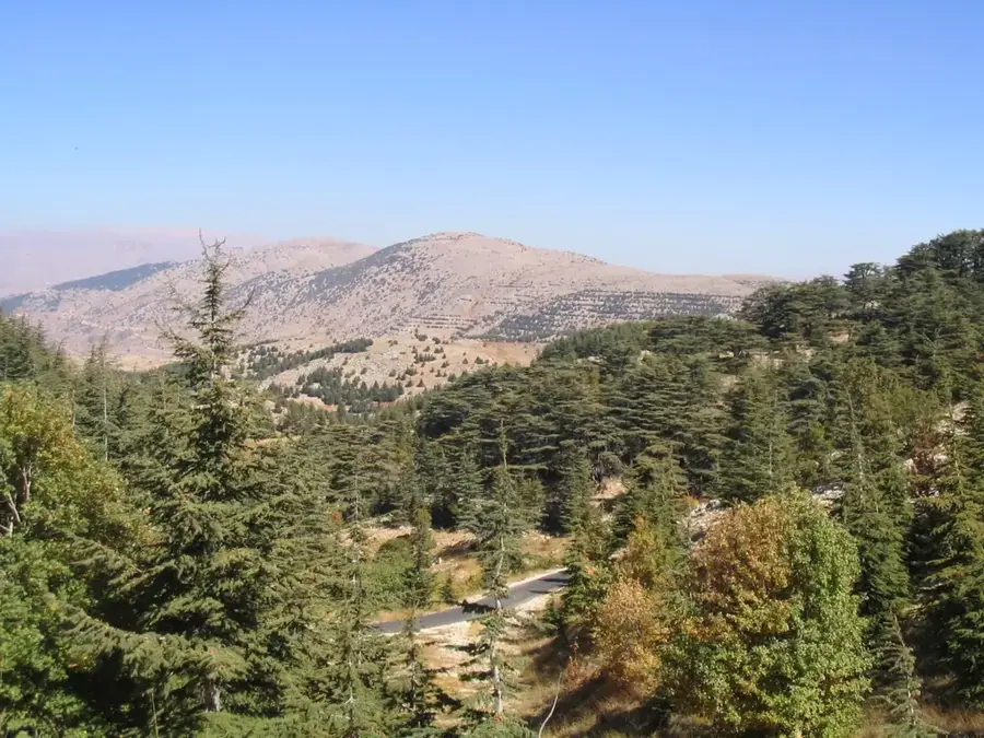
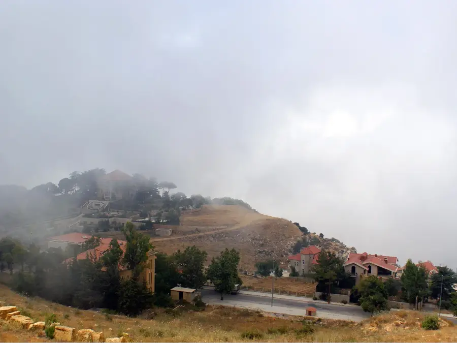
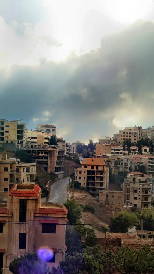
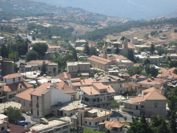
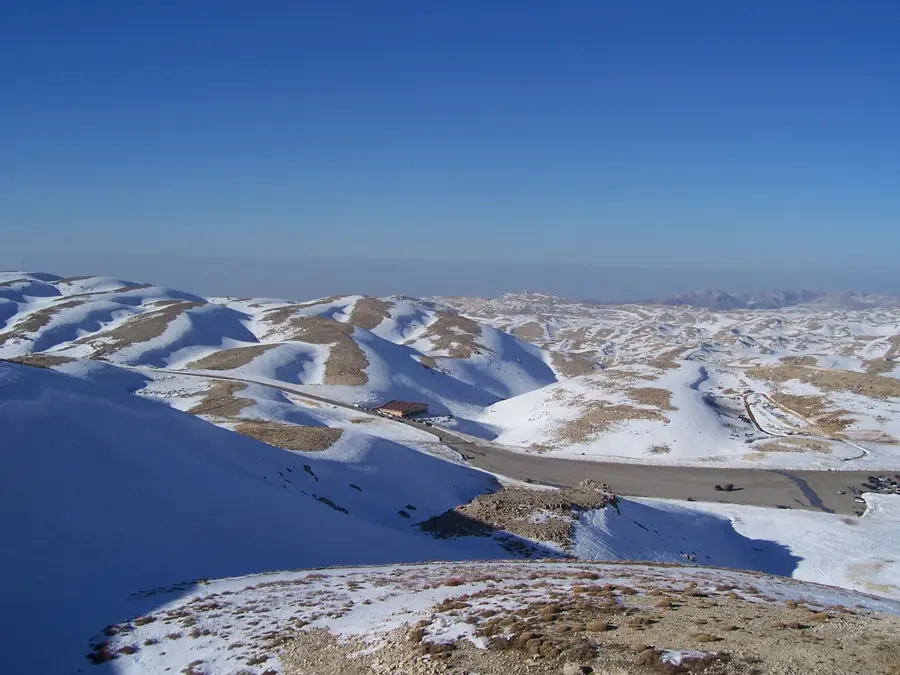
Mount Kneisseh is a significant peak in the central Mount Lebanon range, rising to an elevation of 2,093 meters above sea level. Strategically positioned above the city of Zahle, it has a commanding view over the vast Bekaa Valley to the east. The name 'Kneisseh' is derived from the Arabic word for church, indicating the region's long religious history and the presence of ancient monasteries nearby. Geologically, the mountain is characterized by rugged limestone terrain and steep cliffs typical of the central Lebanese topography. The massif functions as a vital watershed, contributing significantly to the groundwater recharge for the intensively farmed Bekaa Valley below. In ancient times, the area was noted for its dense forests, but today the vegetation is sparser, consisting of resilient alpine plants and scattered shrubs. Due to its strategic location, Mount Kneisseh has often served as a crucial observation point and a site of military operations throughout history. Today, it remains a popular destination for hikers and nature enthusiasts seeking solitude and spectacular panoramic views of the Lebanese interior.
- Location: Lebanon
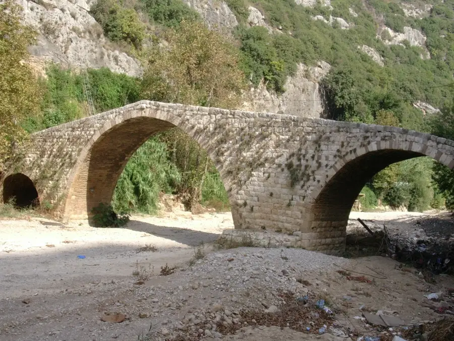
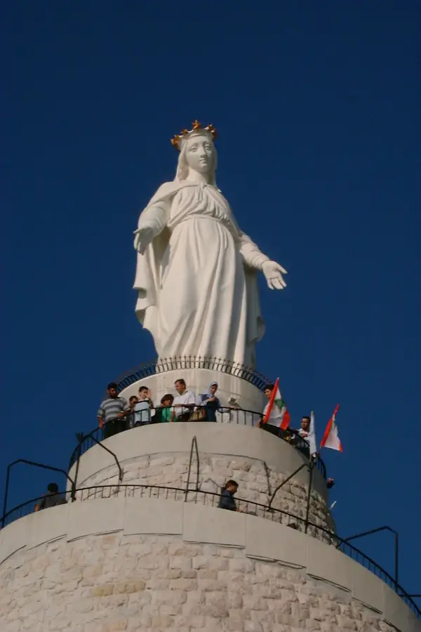
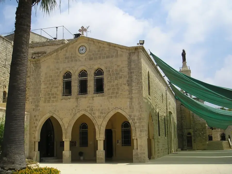
- Top sights: Saloua Raouda Choucair Foundation · Byzantine Church · Train Track Snow Sheds
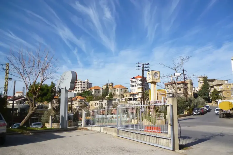
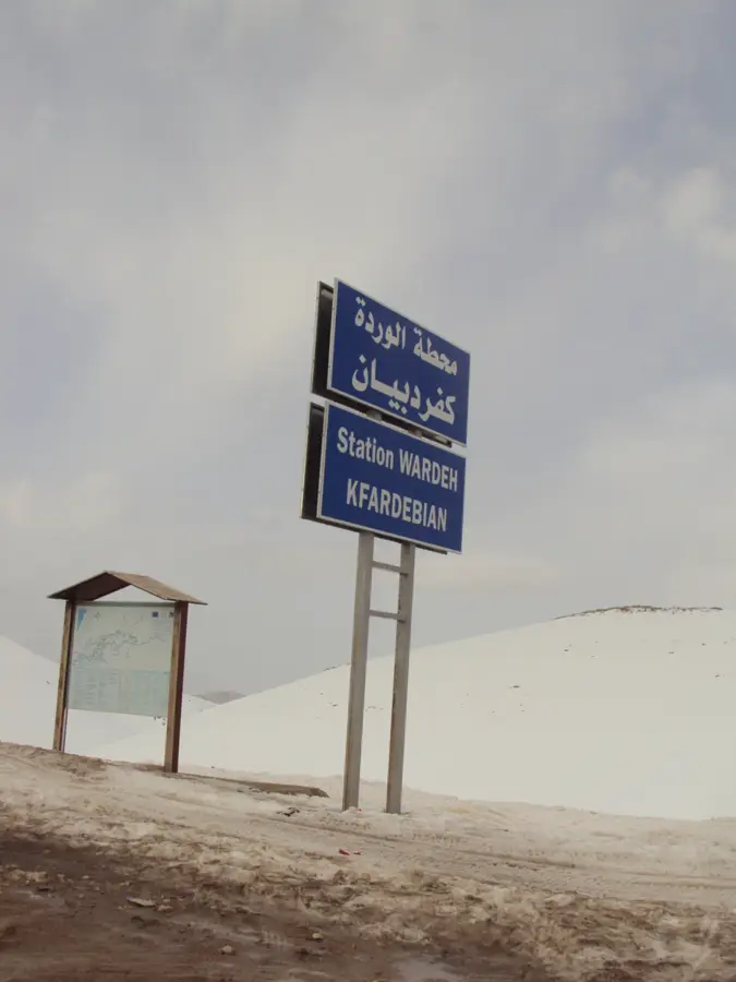
- Nearby: Hammana (4 km)
Best time to visit & climate
The most pleasant time to visit is Jun, Jul, Sep.
| Jan | Feb | Mar | Apr | May | Jun | Jul | Aug | Sep | Oct | Nov | Dec | |
|---|---|---|---|---|---|---|---|---|---|---|---|---|
| Avg °C | 3 | 4 | 7 | 11 | 16 | 20 | 23 | 24 | 21 | 16 | 9 | 5 |
| Rain mm | 78 | 57 | 32 | 18 | 9 | 2 | 0 | 1 | 4 | 15 | 36 | 60 |
📋 Practical info
Geography
Facts
- Reaches a maximum altitude of 2,093 meters above sea level.
- Located in central Mount Lebanon, north of the Beirut-Damascus road.
- The name translates to 'Mountain of the Church' in Arabic.
- Overlooks the fertile Bekaa Valley and the city of Zahle.
- Composed mainly of sedimentary rocks from the Jurassic period.
- A strategic location for telecommunication towers and radar stations.
Explore nearby
Notable places around
Route planner — Car & Motorhome
Where do you start? We build the route here, with stops and country notes along the way.
© OpenStreetMap contributors · OpenRouteService
Sights in the town Mount Kneisseh (6)
Sights nearby
Frequently asked questions
Where is Mount Kneisseh located?
What does the name Kneisseh mean?
How high is Mount Kneisseh?
Are there good viewpoints there?
Can the mountain be visited as a day trip from Beirut?
Mount Kneisseh: where is it located?
Mount Kneisseh: what is there to see?
Mount Kneisseh: when is the best time to visit?
Mount Kneisseh: why is it worth visiting?

Nearby cities
History & landmarks
More places