Plizio Visual Lab
Mount Sannine
Weather…
Water temperature…
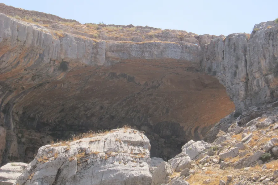
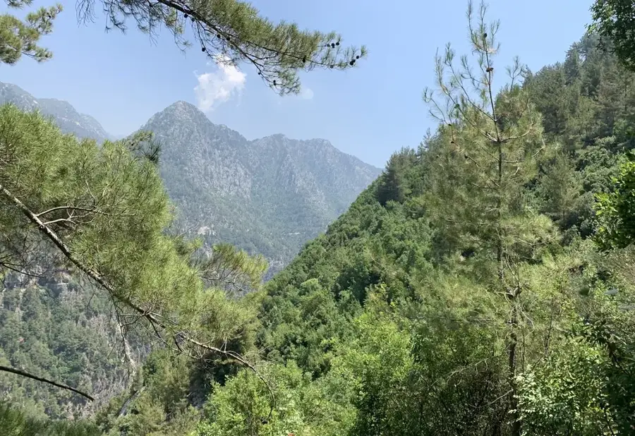
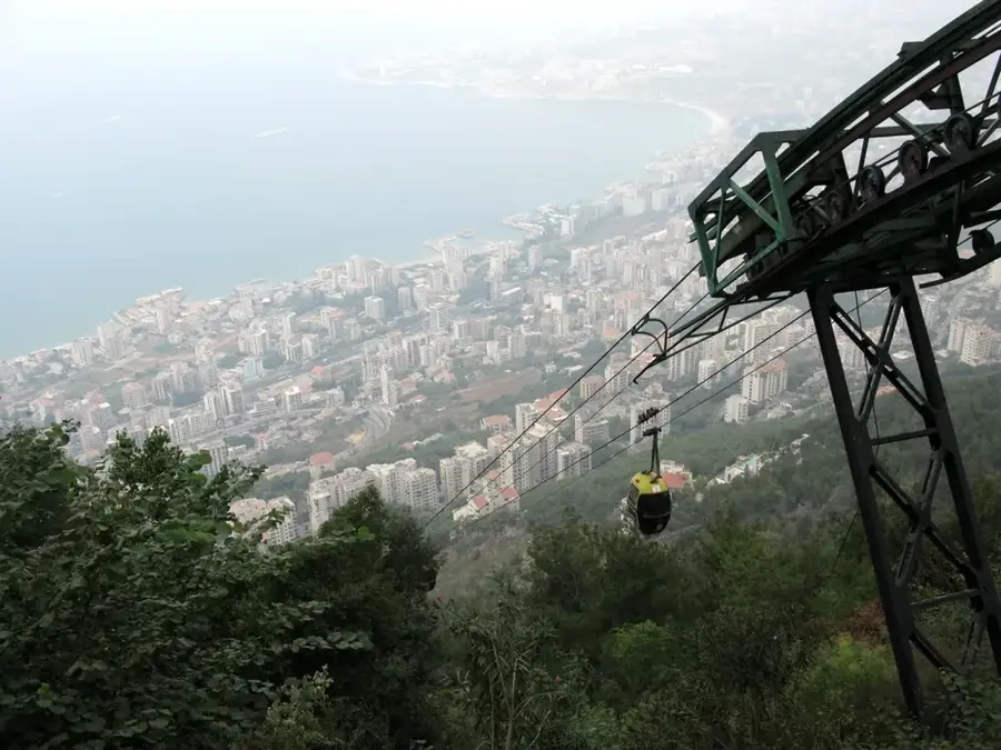
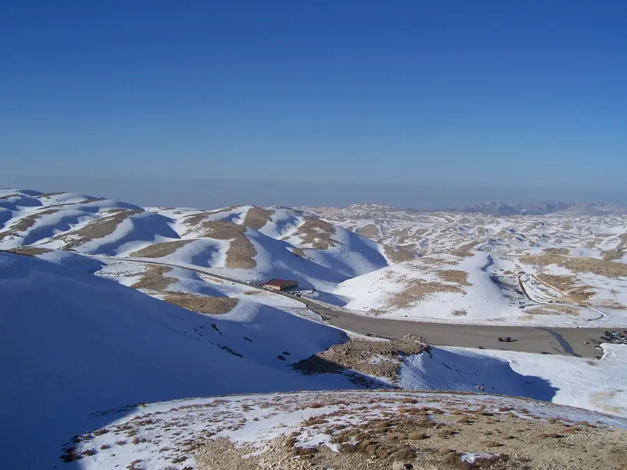
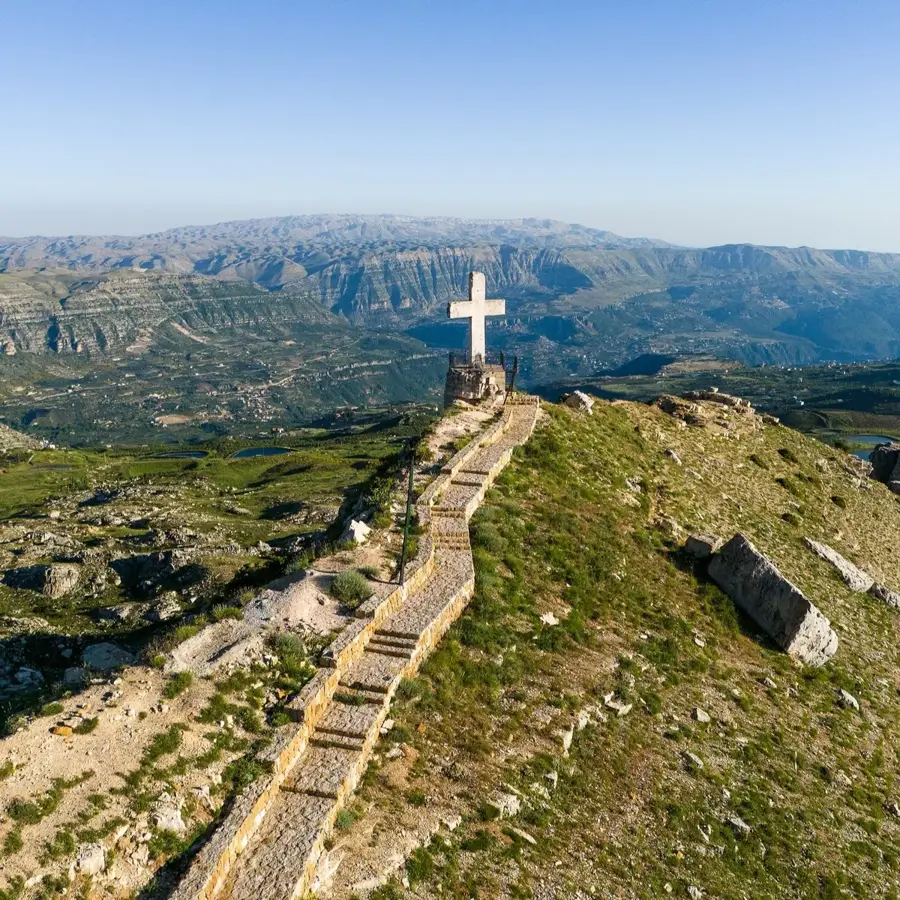
Mount Sannine is one of the most prominent and iconic peaks in the Mount Lebanon range, reaching an elevation of 2,628 meters. Located northeast of Beirut, its broad profile and long-lasting snow cap make it a familiar sight from the capital for much of the year. Geologically, Sannine is a massive limestone block characterized by karst topography, featuring deep erosion furrows and high-altitude plateaus. The mountain serves as a critical water source for the region, feeding major rivers like Nahr el-Kalb through its seasonal snowmelt. Historically, the mountain was utilized for cedar timber extraction and served as a strategic observation post throughout various conflicts. Today, Mount Sannine is a favored destination for hikers, mountaineers, and back-country skiers who appreciate its proximity to the coast. The summit has wide-open views that span the Beqaa Valley to the east and the Mediterranean Sea to the west. Despite increasing development on its lower slopes, the upper reaches remain an important habitat for alpine flora and a symbol of Lebanon's natural heritage.
- Location: Lebanon
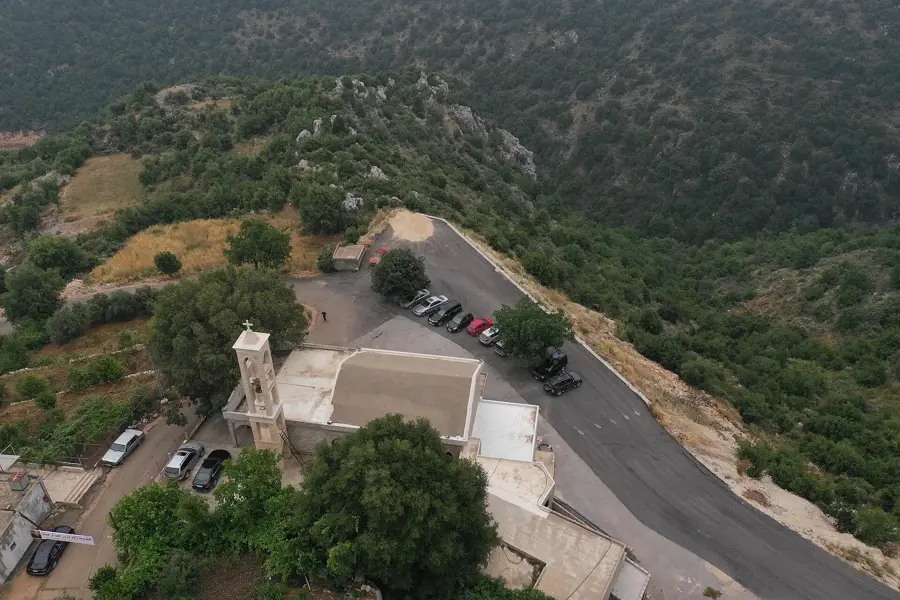
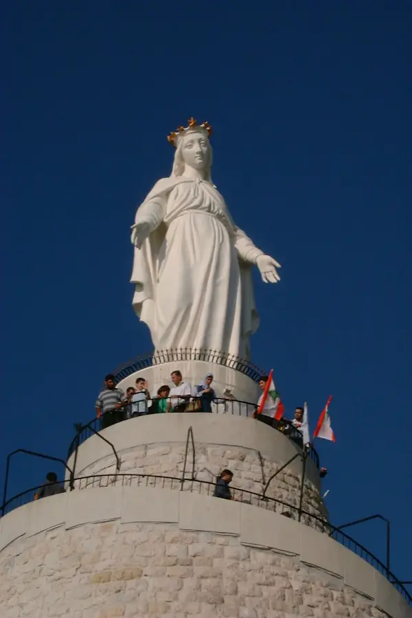
- Top sights: Mount Sannine · The Cross
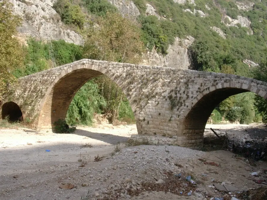
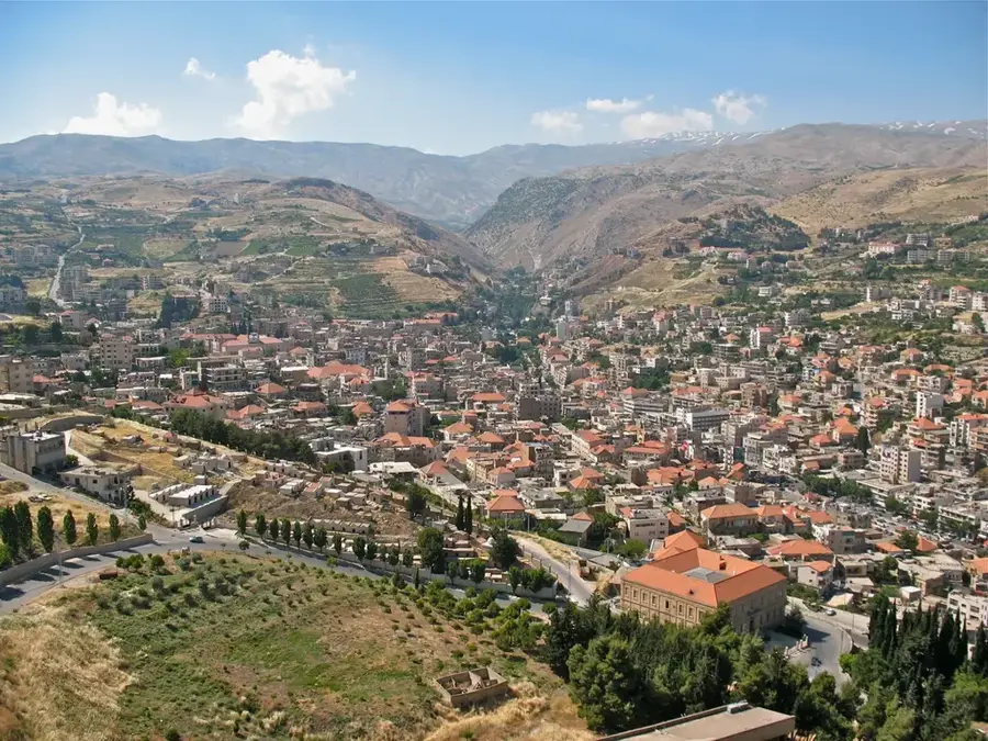
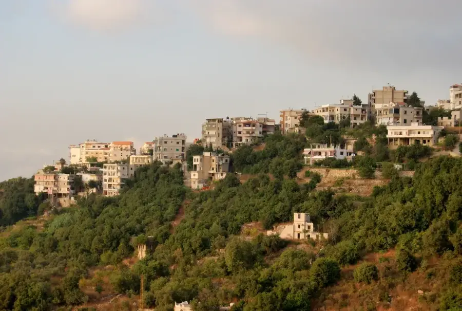
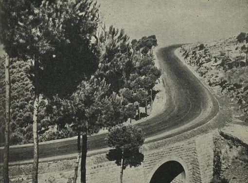
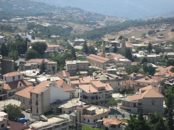
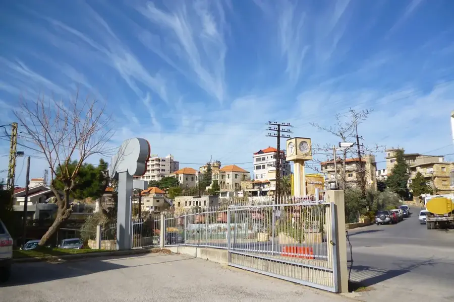
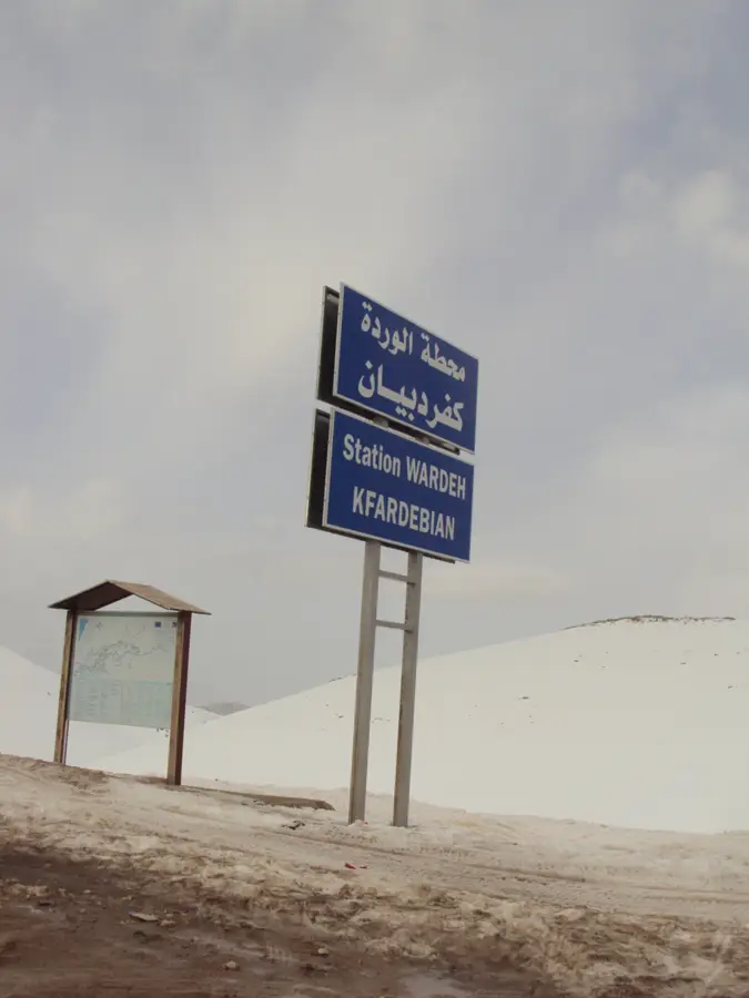
- Nearby: Baskinta (5 km)
Best time to visit & climate
The most pleasant time to visit is Jun, Jul, Sep.
| Jan | Feb | Mar | Apr | May | Jun | Jul | Aug | Sep | Oct | Nov | Dec | |
|---|---|---|---|---|---|---|---|---|---|---|---|---|
| Avg °C | 3 | 4 | 7 | 11 | 16 | 20 | 23 | 24 | 21 | 16 | 9 | 5 |
| Rain mm | 78 | 57 | 32 | 18 | 9 | 2 | 0 | 1 | 4 | 15 | 36 | 60 |
📋 Practical info
Geography
Facts
- Elevation of 2,628 meters above sea level
- Located northeast of Beirut in the central Mount Lebanon range
- Key water source for the Nahr el-Kalb river basin
- Snow cover typically lasts from December through April
- Popular site for paragliding and high-altitude trekking
- Geologically composed of Jurassic and Cretaceous limestone
Explore nearby
Notable places around
Route planner — Car & Motorhome
Where do you start? We build the route here, with stops and country notes along the way.
© OpenStreetMap contributors · OpenRouteService
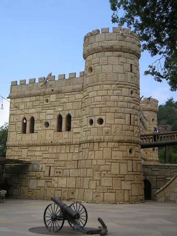
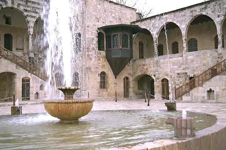
Sights in the town Mount Sannine (2)
Sights nearby
Frequently asked questions
Is Mount Sannine visible from Beirut?
Are there ski resorts on Mount Sannine?
How high is the summit of Sannine?
Can you drive up the mountain?
What does the name Sannine mean?
Mount Sannine: where is it located?
Mount Sannine: what is there to see?
Mount Sannine: when is the best time to visit?
Mount Sannine: why is it worth visiting?

Nearby cities
History & landmarks
Nature
More places