Plizio Visual Lab
Qurnat as Sawda
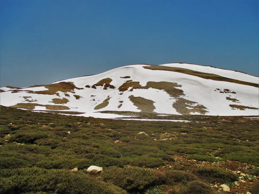
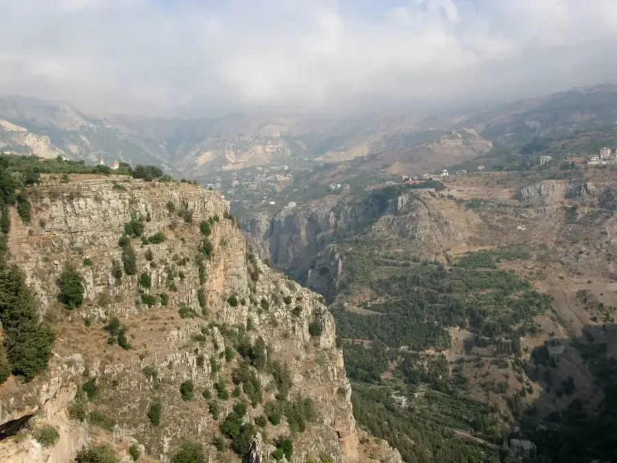
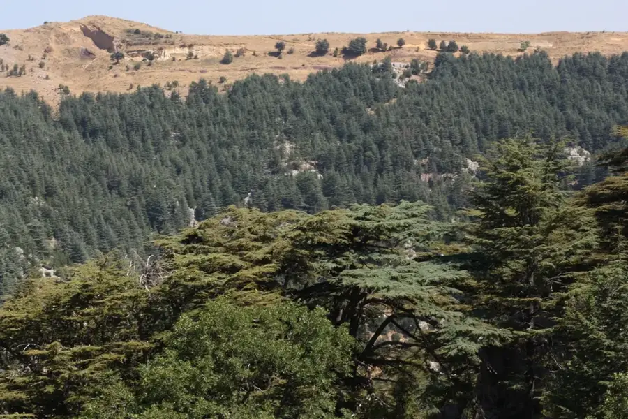
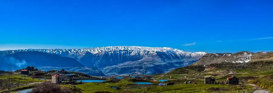
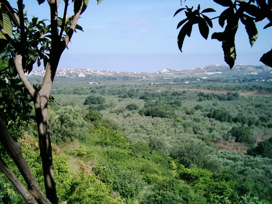
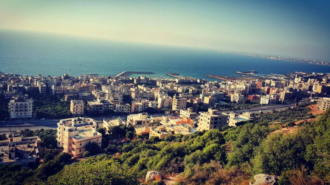
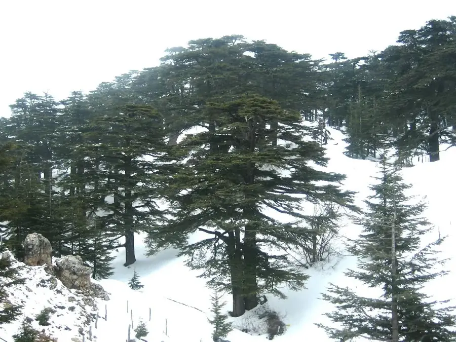
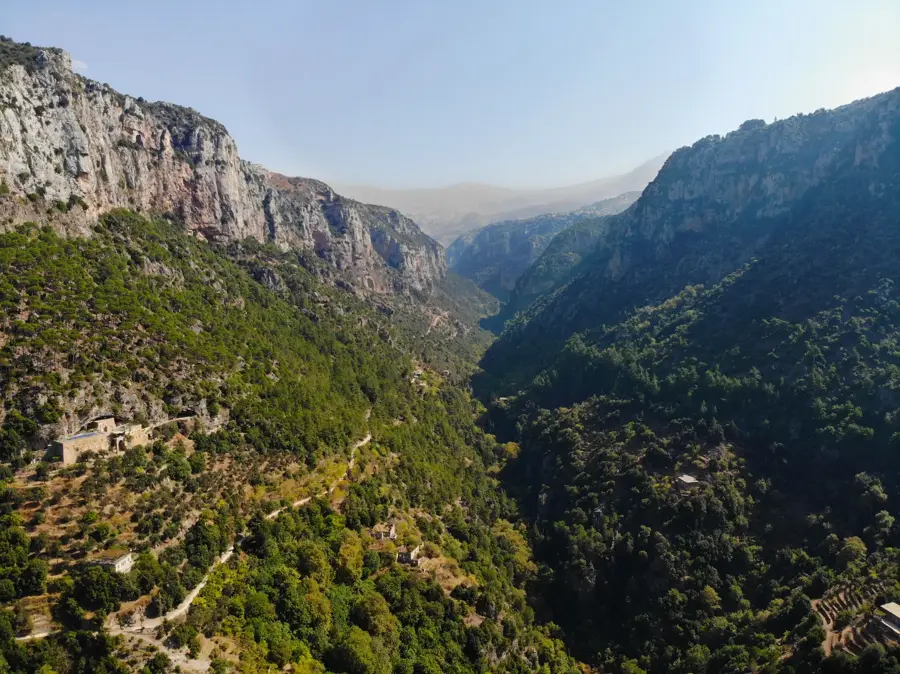
Qurnat as Sawda stands as the highest peak in the Lebanon Mountains and the entire country, reaching an elevation of 3,088 meters. Located in North Lebanon, overlooking the town of Bsharre and the historic Cedars of God, it serves as the geographical pinnacle of the Levant region. Geologically, the mountain is primarily composed of limestone, resulting in a rugged karst landscape marked by sinkholes and fractured rock formations. Due to its extreme altitude, the summit remains snow-covered for nearly six months of the year, acting as a vital freshwater reservoir for the surrounding agricultural valleys. The ascent to the peak is a demanding trek, providing panoramic views that can extend as far as the island of Cyprus and the Syrian coastline on exceptionally clear days. Although vegetation is sparse at high altitudes, the mountain is home to unique alpine flora adapted to harsh winds and freezing temperatures. Its name translates to 'Black Peak,' likely a reference to the dark appearance of its rocky crags once the winter snow has melted.
- Location: Lebanon
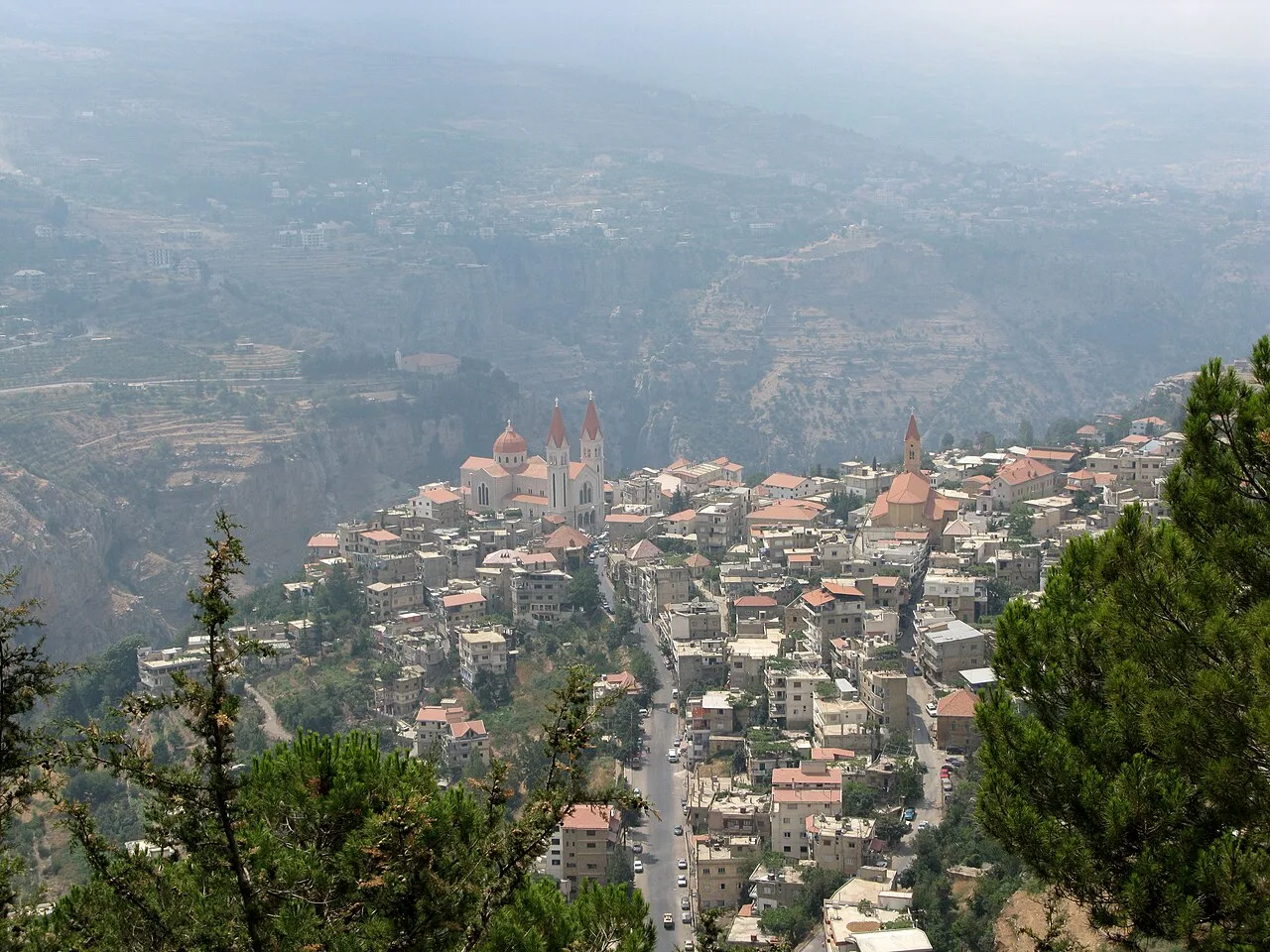
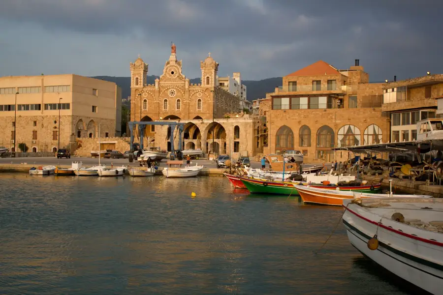
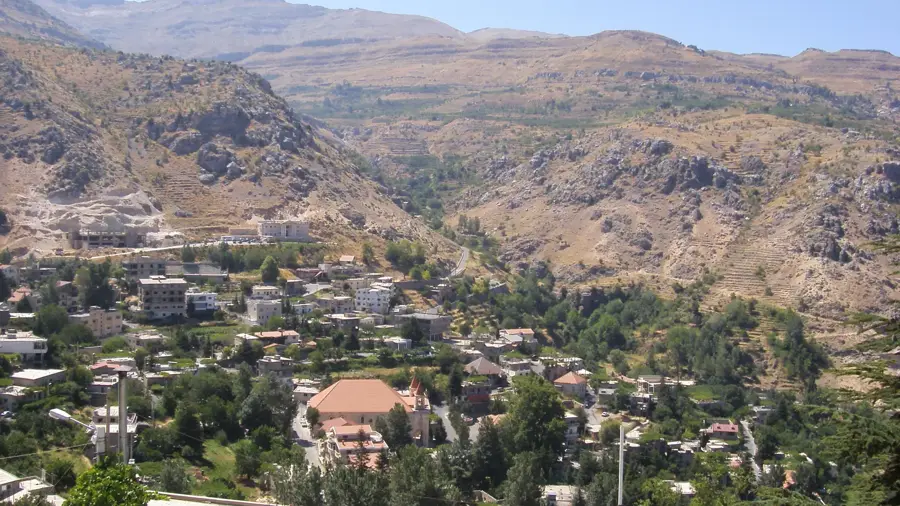
- Nearby: Bcharre (12 km)
Best time to visit & climate
The most pleasant time to visit is May, Jun, Sep.
| Jan | Feb | Mar | Apr | May | Jun | Jul | Aug | Sep | Oct | Nov | Dec | |
|---|---|---|---|---|---|---|---|---|---|---|---|---|
| Avg °C | 6 | 7 | 10 | 14 | 19 | 23 | 25 | 25 | 23 | 19 | 13 | 8 |
| Rain mm | 91 | 68 | 44 | 24 | 12 | 4 | 1 | 1 | 9 | 23 | 46 | 71 |
📋 Practical info
Geography
Facts
- Highest point in Lebanon, measuring 3,088 meters above sea level
- Part of the Makmel Massif in the North Lebanon highlands
- Snow remains on the summit for approximately 180 days per year
- Visibility can reach the island of Cyprus on very clear days
- Formed primarily from Jurassic limestone and dolomite rock
- Its name means 'Black Peak' in the Arabic language
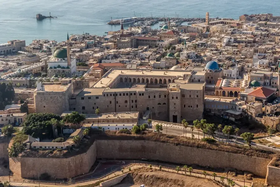
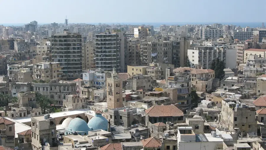
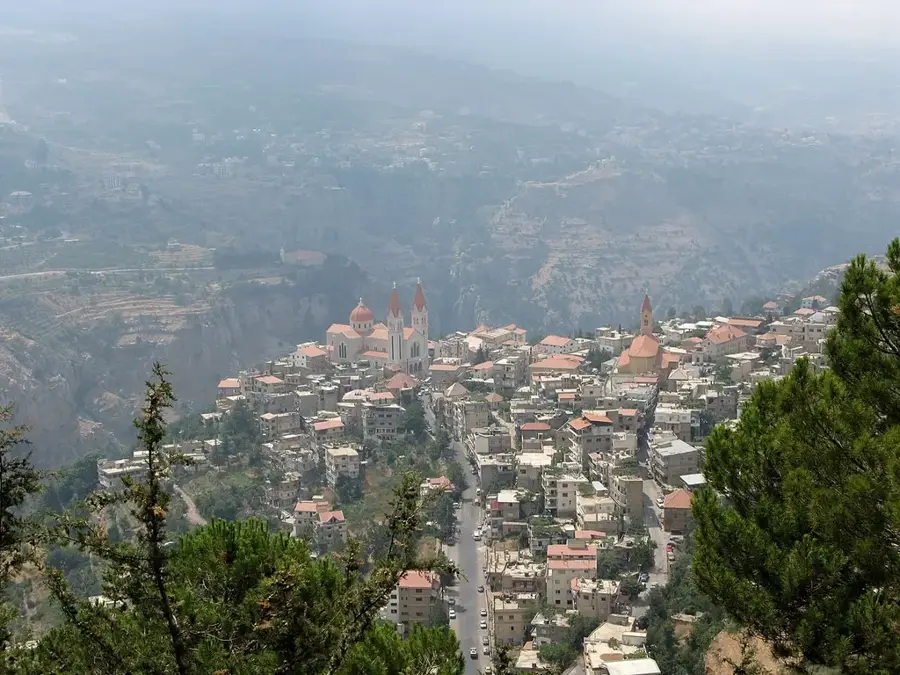
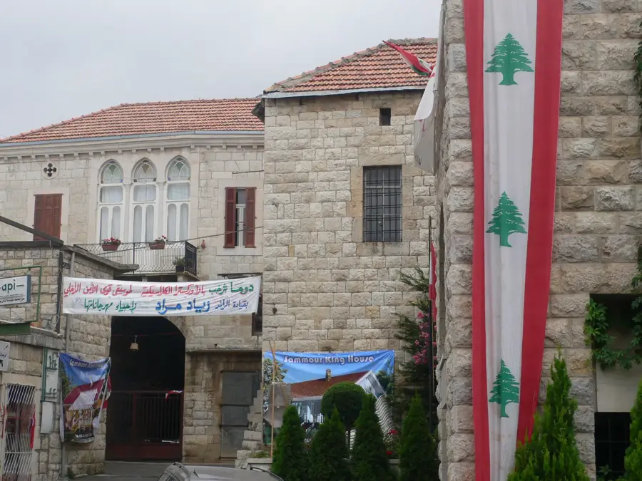
Explore nearby
Notable places around
Route planner — Car & Motorhome
Where do you start? We build the route here, with stops and country notes along the way.
© OpenStreetMap contributors · OpenRouteService
Sights in the town Qurnat as Sawda (1)
Sights nearby
Frequently asked questions
How high is Qurnat as-Sauda?
Do you need a guide for the climb?
How long does the hike to the summit take?
Is there still snow on the mountain in summer?
What is the view like from the summit?
Qurnat as Sawda: where is it located?
Qurnat as Sawda: when is the best time to visit?
Qurnat as Sawda: why is it worth visiting?

Nearby cities

History & landmarks

Nature
More places