Plizio Visual Lab
Manra Rim

Weather…
Water temperature…
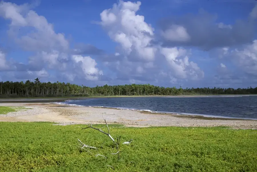
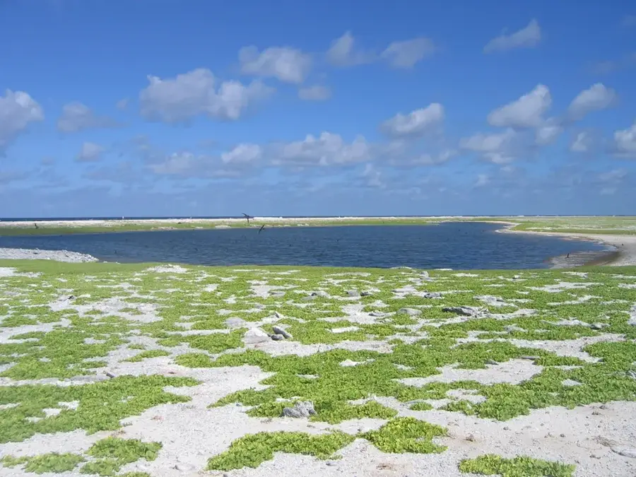
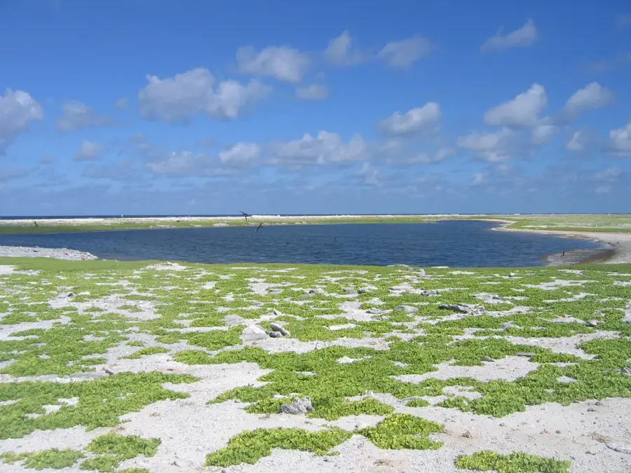
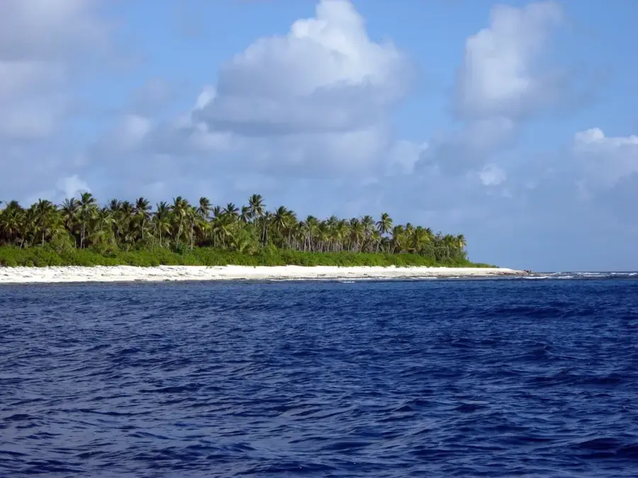
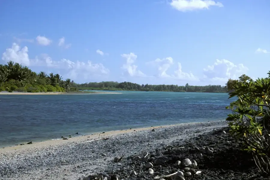
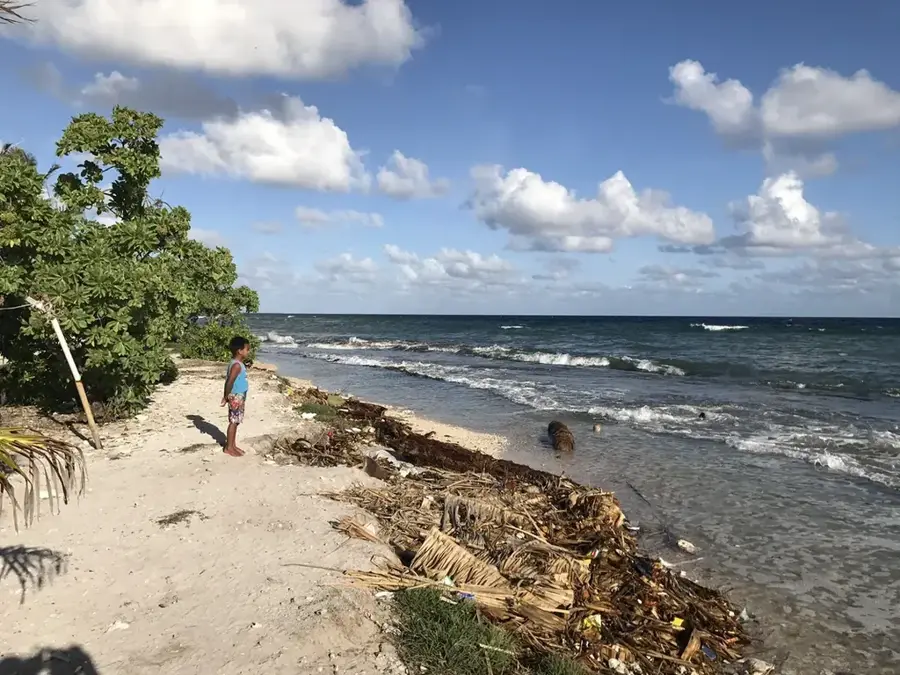
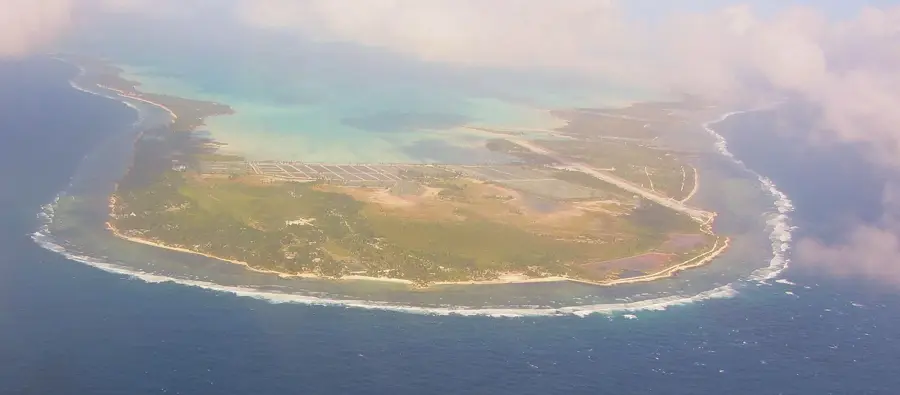
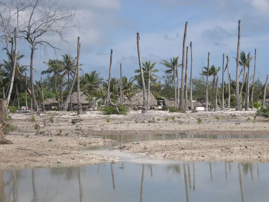
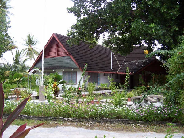
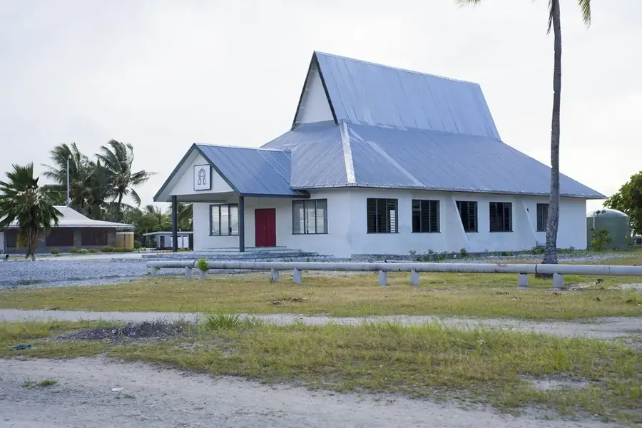
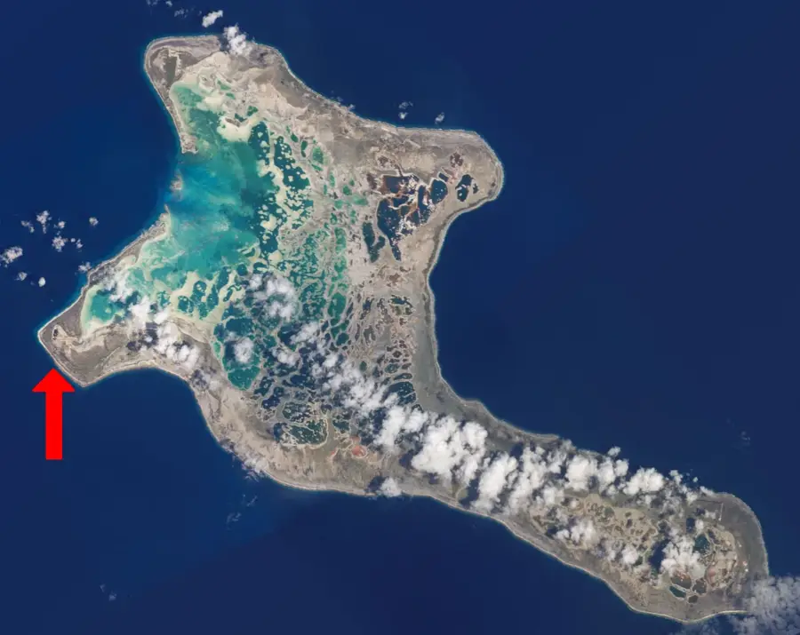
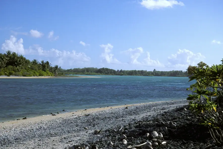
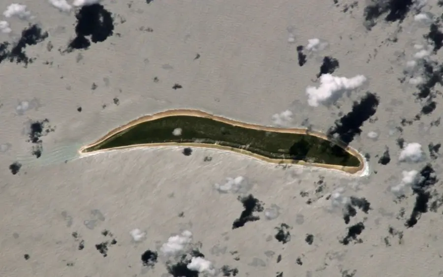
Manra, formerly known as Sydney Island, is a distinctive atoll in the Phoenix Islands group of Kiribati. Its most striking feature is a raised coral rim that completely encloses a central lagoon, cutting it off from the surrounding ocean. This isolation has caused the lagoon water to become hypersaline, supporting a unique microbial ecosystem while preventing most fish species from surviving within its interior. The land rim is covered with scrub forest and coconut palms, providing a critical nesting habitat for vast colonies of migratory sea birds. While the island saw brief attempts at settlement in the mid-20th century, the lack of sustainable freshwater sources eventually led to its abandonment. Today, Manra is an uninhabited part of the Phoenix Islands Protected Area (PIPA), a UNESCO World Heritage site. Its surrounding coral reefs are among the most pristine in the world, offering an invaluable sanctuary for marine biodiversity far from human interference.
Best time to visit & climate
The most pleasant time to visit is Sep–Nov.
| Jan | Feb | Mar | Apr | May | Jun | Jul | Aug | Sep | Oct | Nov | Dec | |
|---|---|---|---|---|---|---|---|---|---|---|---|---|
| Avg °C | 28 | 28 | 28 | 28 | 28 | 28 | 28 | 28 | 28 | 28 | 28 | 28 |
| Rain mm | 126 | 161 | 125 | 117 | 86 | 84 | 62 | 61 | 44 | 40 | 50 | 101 |
📋 Practical info
Geography
Facts
- Length: approx. 8 km
- Width: 100-200 m
- Coral cover: 50%
- Average depth: 10 m
- Tidal range: 0-2 m
- Vegetation: low shrubs
Explore nearby
Notable places around
Route planner — Car & Motorhome
Where do you start? We build the route here, with stops and country notes along the way.
© OpenStreetMap contributors · OpenRouteService
Sights in the town Manra Rim (1)
Sights nearby
Frequently asked questions
What is the Manra Rim?
Can you walk on the rim?
How wide is the land rim?
Are there coconut palms?
Are there bridges to the lagoon?
Manra Rim: where is it located?
Manra Rim: when is the best time to visit?
Manra Rim: why is it worth visiting?

Nearby cities


History & landmarks


Nature