Plizio Visual Lab
Víkurkirkja
Plizio editorial teamData Sources
church
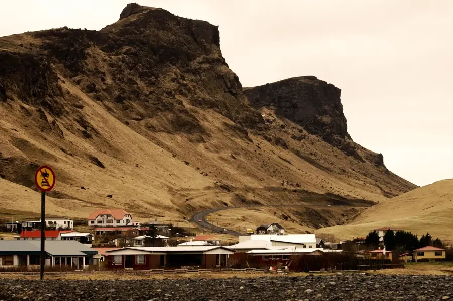
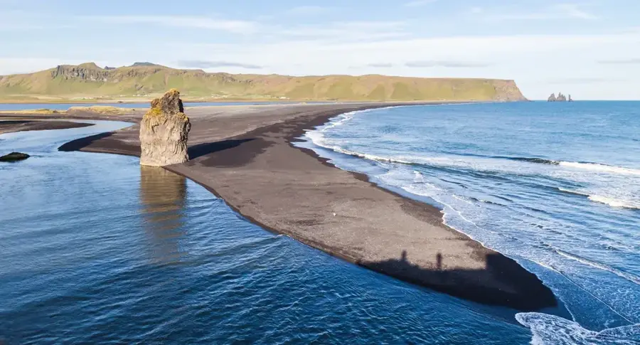
Víkurkirkja is a striking white church with a bright red roof, perched on a hillside overlooking the village of Vík í Mýrdal on Iceland's southern coast. Built between 1932 and 1934, the building is a quintessential example of Icelandic religious architecture from that era, combining simple geometry with bold, contrasting colors. Due to its elevated position, the church is regarded as the safest location in the village in the event of an eruption of the nearby Katla volcano, which lies beneath the Mýrdalsjökull glacier. In local emergency protocols, Víkurkirkja is designated as the official assembly point for residents, as it is expected to remain above the massive glacial floods (jökulhlaup) triggered by volcanic activity. From the plateau where the church stands, visitors can enjoy panoramic views of the village, the black sand beaches, and the famous Reynisdrangar basalt sea stacks. The building is not only a spiritual center but also a cornerstone of regional safety and a symbol of the community's resilience in the face of natural hazards. Its prominent silhouette makes it one of the most recognizable landmarks for travelers along the Ring Road.
- Location: Iceland
- Top sights: Icelandic Lava Show · Víkurkirkja · Kötlusetur - Katla visitor centre
- Nearby: Þórsmörk (37 km)
Best time to visit & climate
The most pleasant time to visit is Jun–Aug.
| Jan | Feb | Mar | Apr | May | Jun | Jul | Aug | Sep | Oct | Nov | Dec | |
|---|---|---|---|---|---|---|---|---|---|---|---|---|
| Avg °C | 1 | 1 | 1 | 3 | 5 | 8 | 10 | 10 | 8 | 4 | 2 | 1 |
| Rain mm | 250 | 232 | 222 | 174 | 124 | 120 | 144 | 166 | 229 | 235 | 221 | 251 |
📋 Practical info
Visiting
The iconic white church with its red roof is actively used by the local congregation, so visitors can often enter the modest but beautiful interior. When services are held, tourists are respectfully asked to remain outside.
Typical hours
Doors are usually left unlocked during regular daytime hours in the summer season for quiet reflection. During winter months or harsh weather, access might be restricted or available only by prior arrangement with locals.
Photography
The elevated position on the hill provides a fantastic vantage point to frame the building against the dramatic black sand beaches and sea stacks below. Be mindful not to trample the delicate lupine fields in early summer.
Time needed
Expect to spend around twenty to thirty minutes wandering the church grounds and taking in the panoramic vistas over Vík í Mýrdal. The small cemetery attached to the grounds is also worth a brief, respectful stroll.
Combine with
A short drive down from the hill brings you directly to the famous Reynisfjara black sand beach and its spectacular basalt columns. The local lava show or nearby wool factory outlets also make great additions to your itinerary.
Getting there
The site is easily accessible by a well-paved road winding up the hill directly from the center of the village. There is a designated parking area near the entrance, accommodating both standard cars and smaller tour buses.
Insider tip
In the event of an emergency or severe volcanic eruption from Katla, this elevated church serves as the designated evacuation point for the village. Knowing this adds a sobering layer of historical context to your peaceful visit.
Geography
Facts
- The construction of the church took place between 1932 and 1934.
- The interior has a capacity for approximately 150 people.
- The building is the designated safe zone during Katla eruptions.
- The church is situated about 60 meters above sea level.
- The roof features a distinctive and bright red color.
- The church overlooks the famous Reynisdrangar basalt sea stacks.
Explore nearby
Notable places around
Route planner — Car & Motorhome
Where do you start? We build the route here, with stops and country notes along the way.
Vehicle
Only stops with (optional):
© OpenStreetMap contributors · OpenRouteService
Sights in the town Víkurkirkja (10)
Black Beach Riding Tours
Attraction in Vík, horseback riding on the black beach.
Víkurfjara
Beach in Vík, Iceland.
Black sand beach Vík í Mýrdal
Viewpoint in Vík, black sand beach.
Reynisfjall
Mountain in Iceland.
Hatta
Viewpoint in Vík.
Hálsanefshellir
Basalt cave in Iceland.
Sights nearby
Frequently asked questions
Where is the best photo spot for Víkurkirkja?
From the streets below the church, to capture it with the mountains in the background.
What role does the church play in emergencies?
It is a designated evacuation site in the event of a Katla volcano eruption.
Can you enter the church?
Yes, it is usually open to visitors and features a peaceful place for reflection.
How is the view from the church?
There is a beautiful view over the village of Vík and the black sand beach.
When was Víkurkirkja built?
The current church was built between 1932 and 1934.
Víkurkirkja: where is it located?
Víkurkirkja is located in Iceland.
Víkurkirkja: what is there to see?
Highlights include Icelandic Lava Show, Víkurkirkja, Kötlusetur - Katla visitor centre.
Víkurkirkja: when is the best time to visit?
The most pleasant time to visit is Jun, Aug.
Víkurkirkja: why is it worth visiting?
Víkurkirkja is a striking white church with a bright red roof, perched on a hillside overlooking the village of Vík í Mýrdal on Iceland's southern coast.

Explore with Plizio
Discover more places in Europe
More places in Iceland →
Nearby cities

Reykjavík
Reykjavík is the capital and largest city of Iceland, serving as the nation's cultural, economic, and governmental hub.

Kópavogur
Kópavogur is Iceland's second largest city, located directly south of Reykjavík.

Hafnarfjörður
A charming port town just outside Reykjavík, known as the 'town in the lava' and famous for its Viking heritage and elf folklore.

Hafnarfjörður
Hafnarfjörður is a port city south of Reykjavík, built on an ancient lava field.

Keflavík
Keflavík is a town on the Reykjanes Peninsula, part of the Reykjanesbær municipality.

Mosfellsbær
Mosfellsbær is located northeast of Reykjavík, known for its hilly landscape and thermal springs.

Garðabær
Garðabær is a growing town in the Greater Reykjavík area.

Selfoss
Selfoss is the largest service center in southern Iceland, situated on the banks of the Ölfusá River.

Akranes
Akranes is a port town on Iceland's west coast, known for its long fishing tradition and two distinctive lighthouses.

Seltjarnarnes
Seltjarnarnes is a small municipality on a peninsula just west of Reykjavík.

Vestmannaeyjar
Vestmannaeyjar is a town on Heimaey island in the archipelago of the same name off Iceland's south coast.

Grindavík
Grindavík is a fishing town on the south coast of the Reykjanes Peninsula.

Blue Lagoon (Grindavík)
Iceland's most famous geothermal spa, known for its milky-blue, mineral-rich waters.

Hveragerði
Hveragerði is famous for its high geothermal activity, located about 45 km east of Reykjavík.

Hveragerði
Known as the 'Greenhouse Town', it sits on an active geothermal field and is famous for its hot springs and banana cultivation.
History & landmarks

Reykjavík City Hall
Reykjavík City Hall is situated on the banks of Lake Tjörnin.

Hvolsvöllur
A historic town in South Iceland, famous as the heart of the Njál's Saga and a gateway to glaciers.
Reynisfjara
Reynisfjara is a world-famous black sand beach on the South Coast of Iceland.
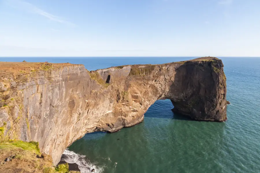
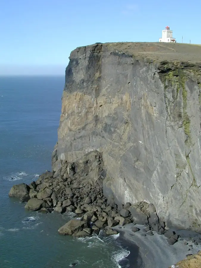
Dyrhólaey
Dyrhólaey is a 120-meter high promontory on the South Coast.

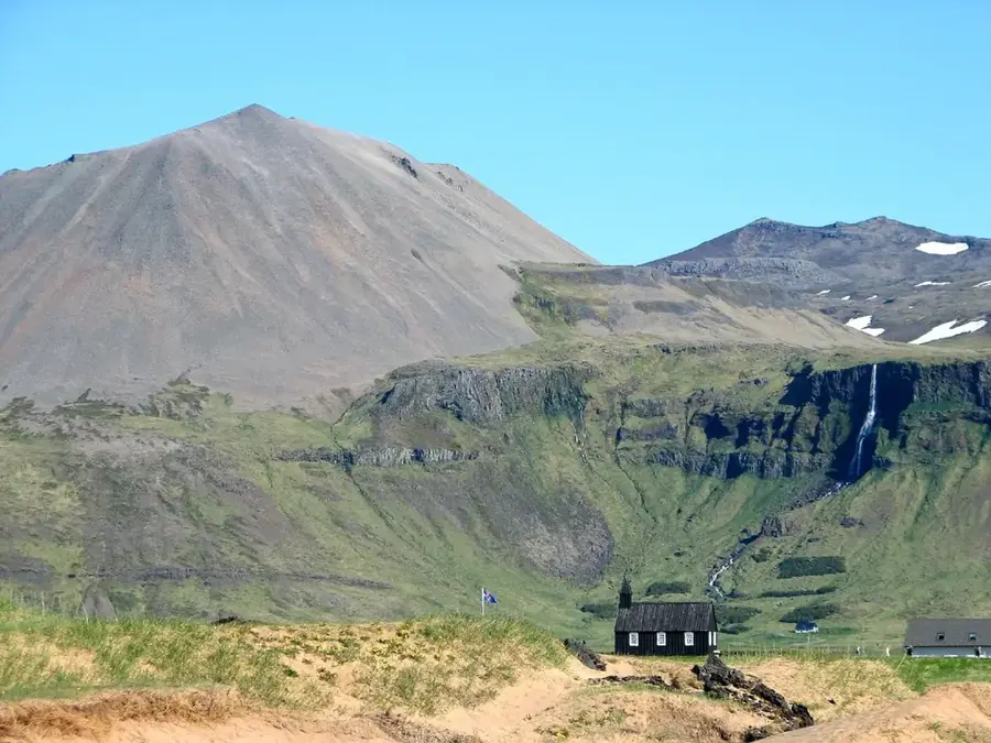
Skógar
A historic village on the South Coast, famous for the powerful Skógafoss waterfall and its folk museum.
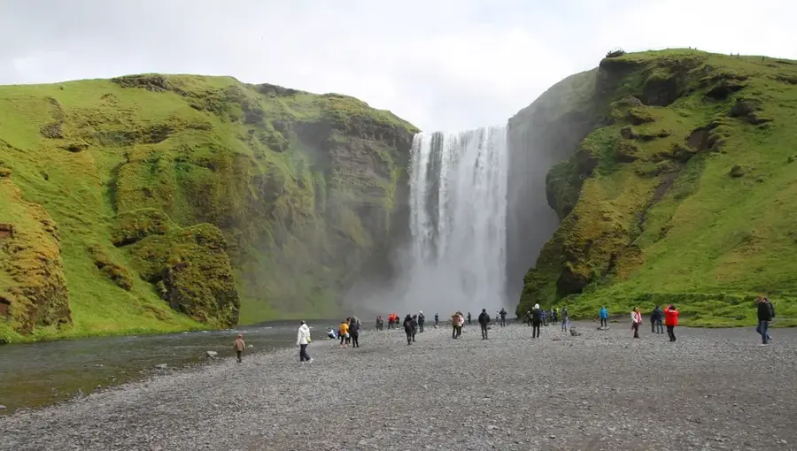
Skógafoss
Skógafoss is one of Iceland's largest waterfalls with a width of 25 meters.
Fimmvörðuháls
Fimmvörðuháls is a mountain pass between the Eyjafjallajökull and Mýrdalsjökull glaciers.
Nature
More places
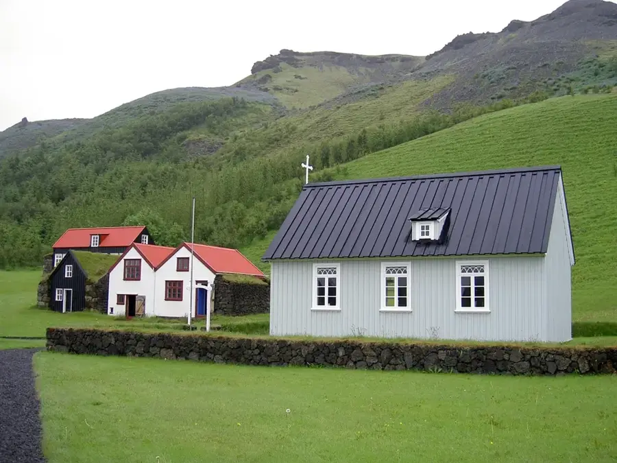
Skógar Museum
Skógar Museum is a cultural heritage museum in southern Iceland with an extensive collection of artifacts and historic turf houses.
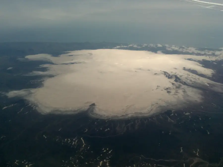
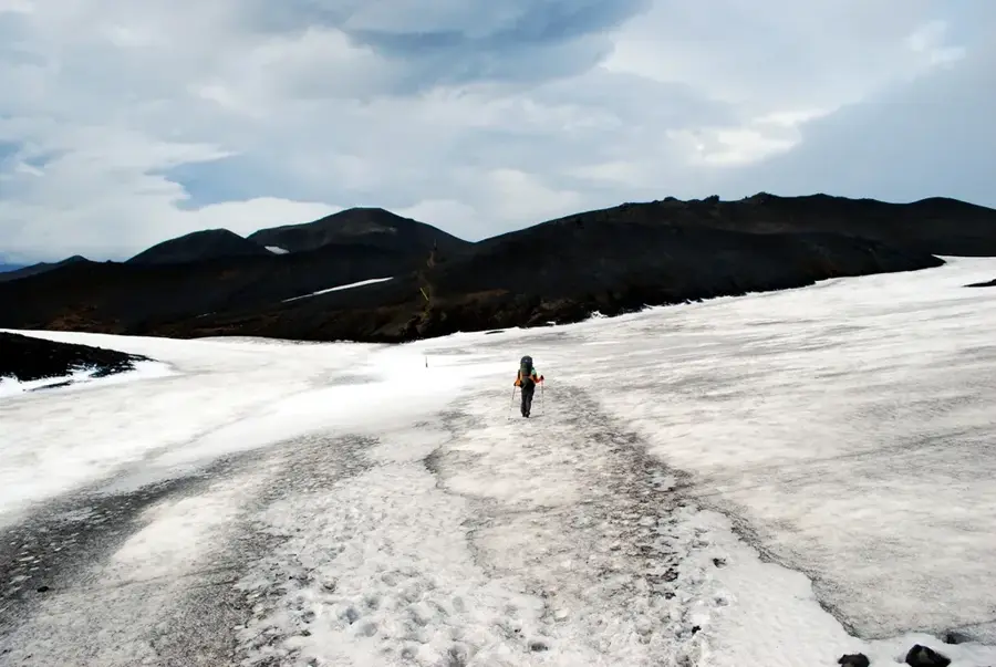
Mýrdalsjökull
Mýrdalsjökull is a prominent glacier in southern Iceland.
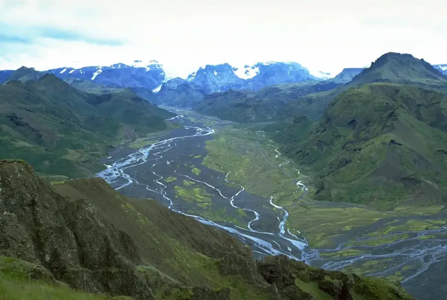
Þórsmörk
Þórsmörk, or Thor's Wood, is a mountain valley in southern Iceland surrounded by three glaciers.
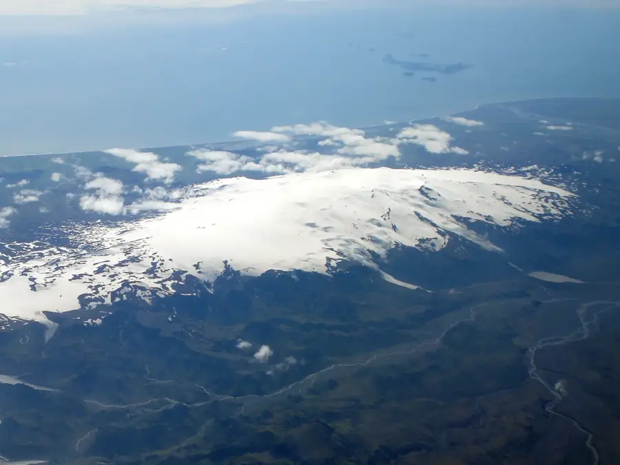
Eyjafjallajökull
Eyjafjallajökull is a smaller glacier in southern Iceland covering a stratovolcano of the same name.