Plizio Visual Lab
Dobogoko
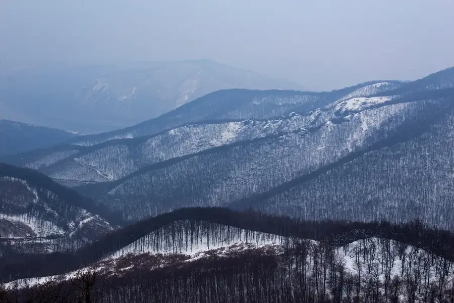
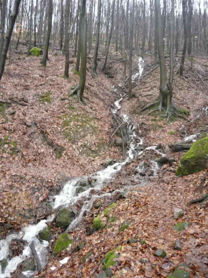
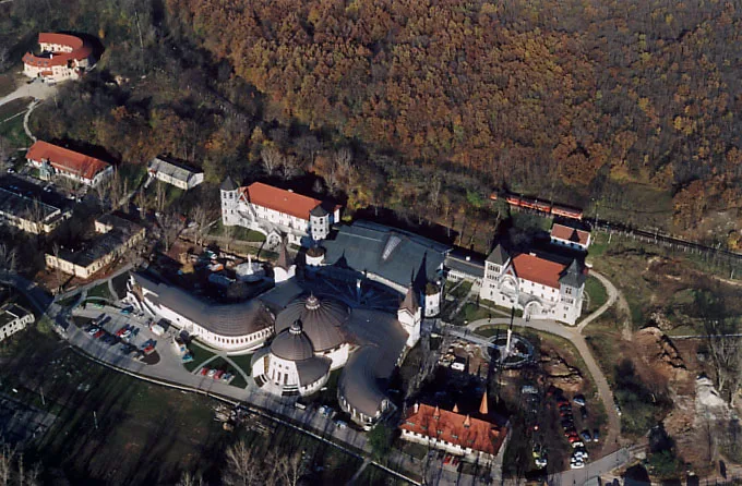
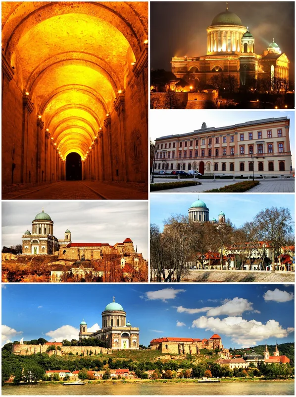
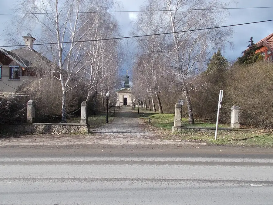
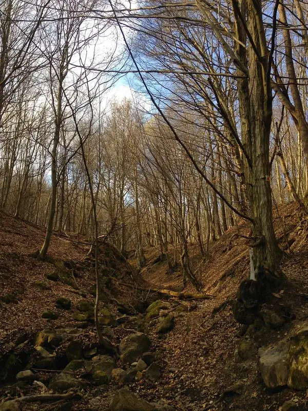
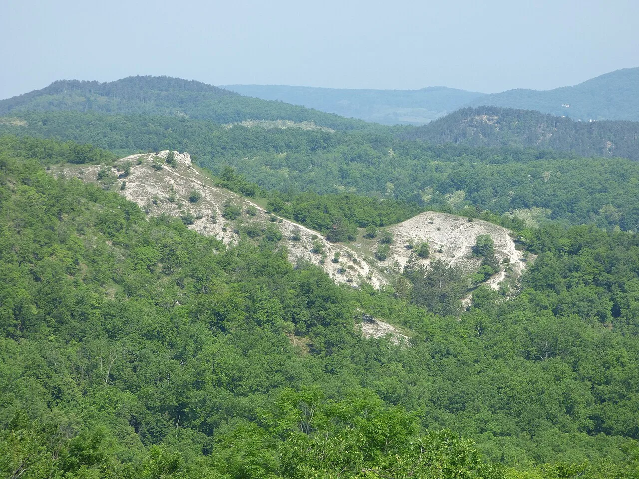
Dobogoko is the highest peak of the Visegrad Mountains, standing at 699 meters above sea level, and serves as a primary hub for Hungarian mountain tourism. The area's history is deeply intertwined with the development of hiking in Hungary, as the country's first wooden mountain hut was erected here in 1898. Geologically, the mountain is composed of volcanic andesite rocks formed during the Miocene epoch approximately 15 million years ago. From the Rezso Lookout, visitors can enjoy a broad panorama of the Danube Bend and the neighboring Boerzsoeny Mountains. The resort has been home to one of Hungary's oldest ski slopes since 1923, which continues to operate during snowy winters. It remains a significant cultural and natural site, serving as a key waypoint for the National Blue Trail hiking route.
- Location: Hungary
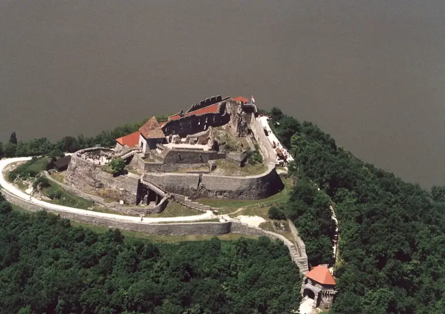
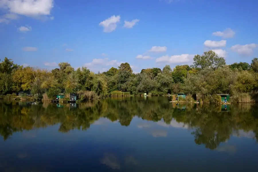
- Top sights: Zsivány-sziklák · Fokozottan védett természeti terület · Manóváros
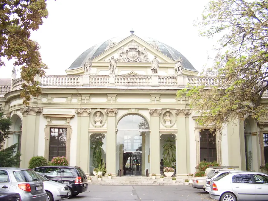
- Nearby: Nagymaros (10 km)
Best time to visit & climate
The most pleasant time to visit is Jun–Aug.
| Jan | Feb | Mar | Apr | May | Jun | Jul | Aug | Sep | Oct | Nov | Dec | |
|---|---|---|---|---|---|---|---|---|---|---|---|---|
| Avg °C | -2 | 0 | 5 | 11 | 16 | 21 | 23 | 22 | 17 | 11 | 5 | 0 |
| Rain mm | 39 | 40 | 41 | 35 | 65 | 70 | 66 | 63 | 57 | 51 | 44 | 43 |
📋 Practical info
Geography
Facts
- The first mountain hut was opened in 1898 by Baron Lorand Eotvos.
- The peak reaches an elevation of exactly 699 meters.
- The first ski slope in the country was established here in 1923.
- The area is a protected part of the Danube-Ipoly National Park.
- The geological foundation is 15-million-year-old volcanic andesite.
- It serves as a major station on the National Blue Trail network.
Explore nearby
Notable places around
Route planner — Car & Motorhome
Where do you start? We build the route here, with stops and country notes along the way.
© OpenStreetMap contributors · OpenRouteService
Sights in the town Dobogoko (10)
Manóváros
Rocky area with small caves and crevices, designed for children.
Rovásírásos kő
Stone carved with ancient Hungarian runic script (rovásírás).
Turistamúzeum - Báró Eötvös Loránd Menedékház🏛 museum
Museum displaying hiking relics, photos, books, and climbing gear.
Dobogó-kő
Mountain in Hungary.
Dobogókői Nagykilátó
Viewpoint on Dobogó-kő.
Siketnémák Mária kegyhelye
Marian shrine, a pilgrimage site for the deaf.
Tirts Rezső kilátó
Lookout tower on a hilltop.
Magas-len
Viewpoint overlooking the valley.
Sights nearby
Frequently asked questions
Why is Dobogókő considered a spiritual site?
Is there a view of the Danube from here?
Can you stay overnight in Dobogókő?
Is there a restaurant there?
How can I get to Dobogókő without a car?
Dobogoko: where is it located?
Dobogoko: what is there to see?
Dobogoko: when is the best time to visit?
Dobogoko: why is it worth visiting?

Nearby cities


History & landmarks

Nature
More places