Plizio Visual Lab
Visegrád Mountains
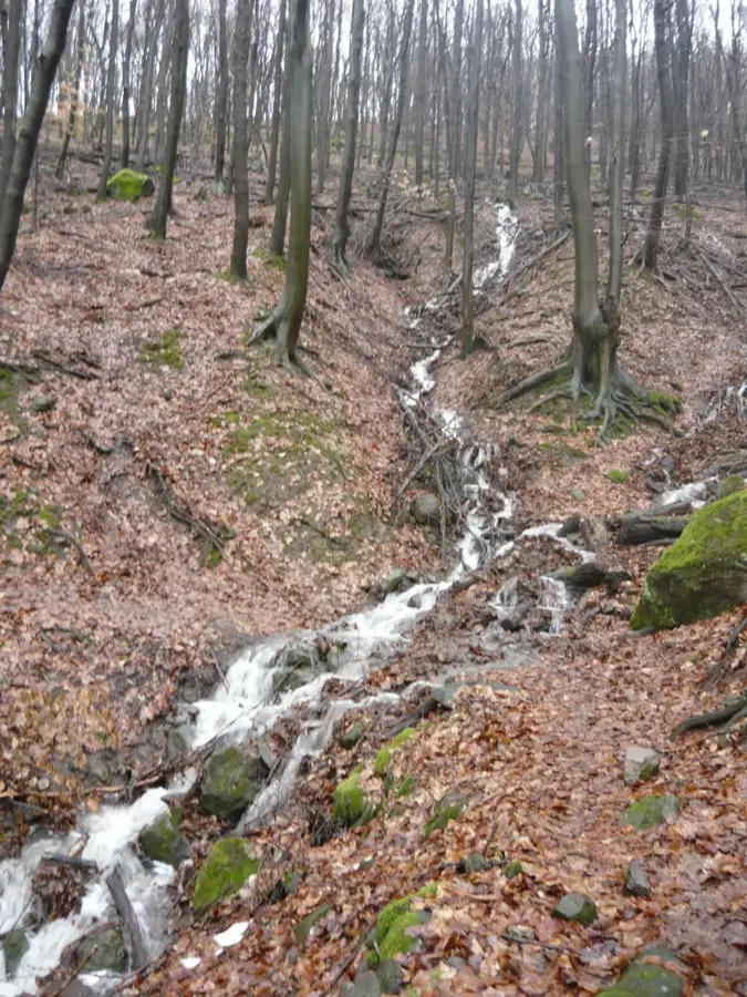
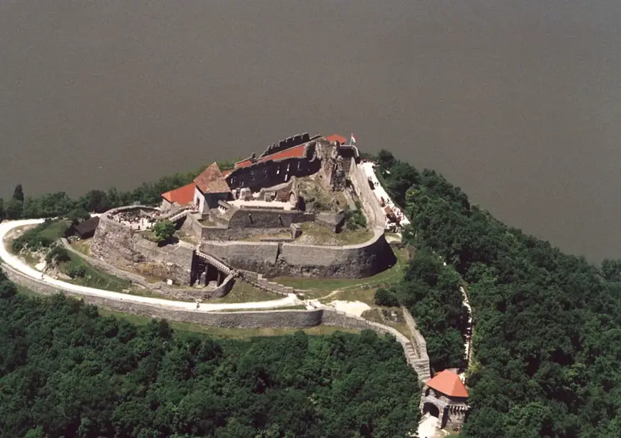
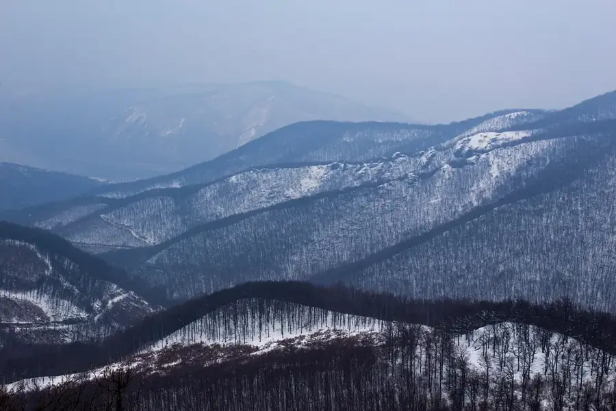
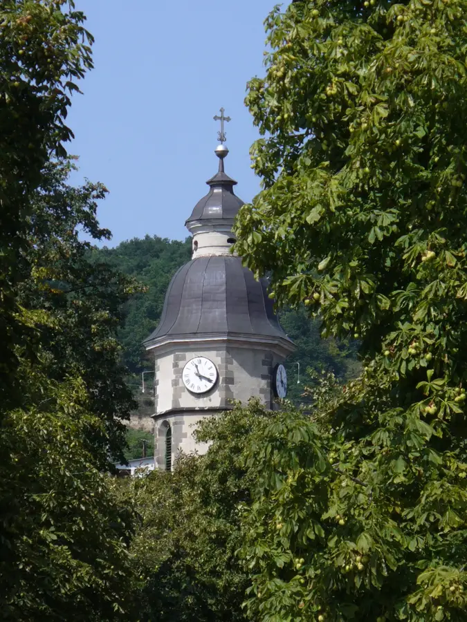
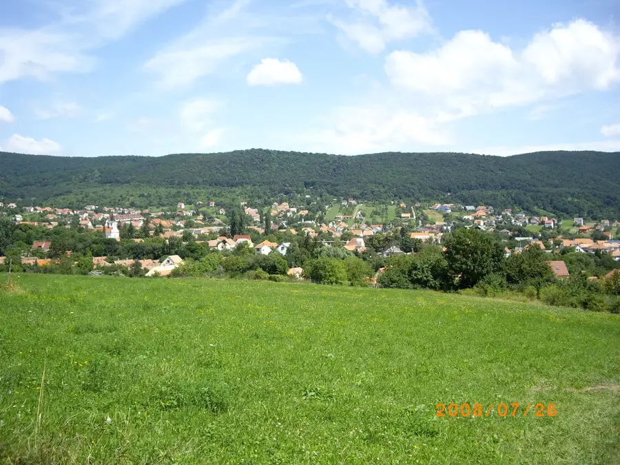
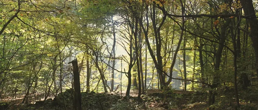
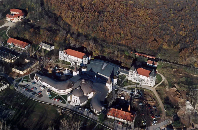
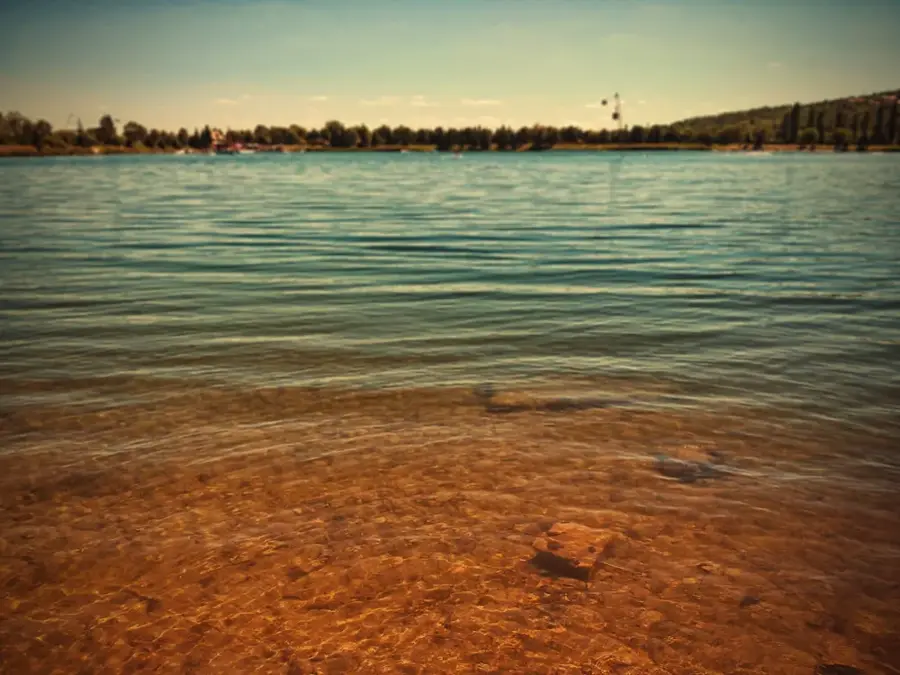
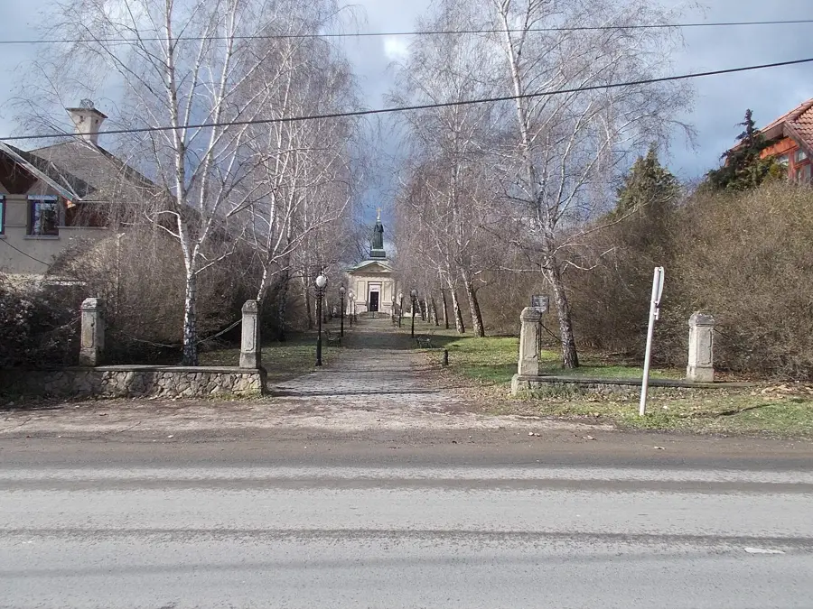
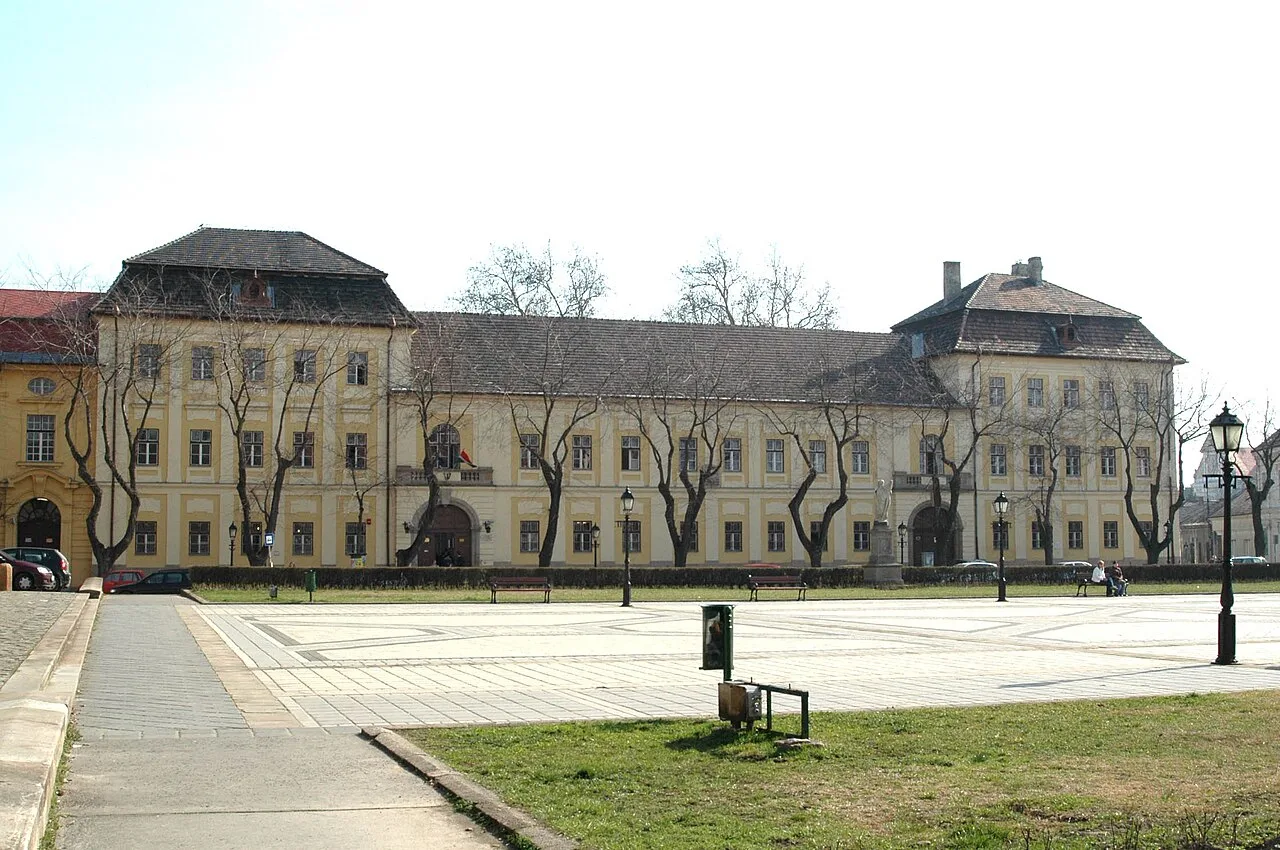
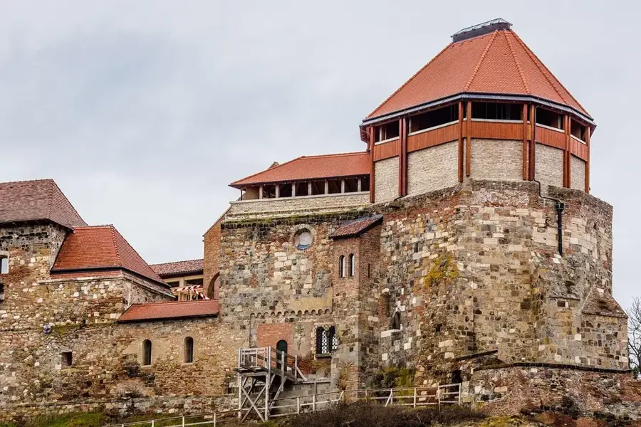
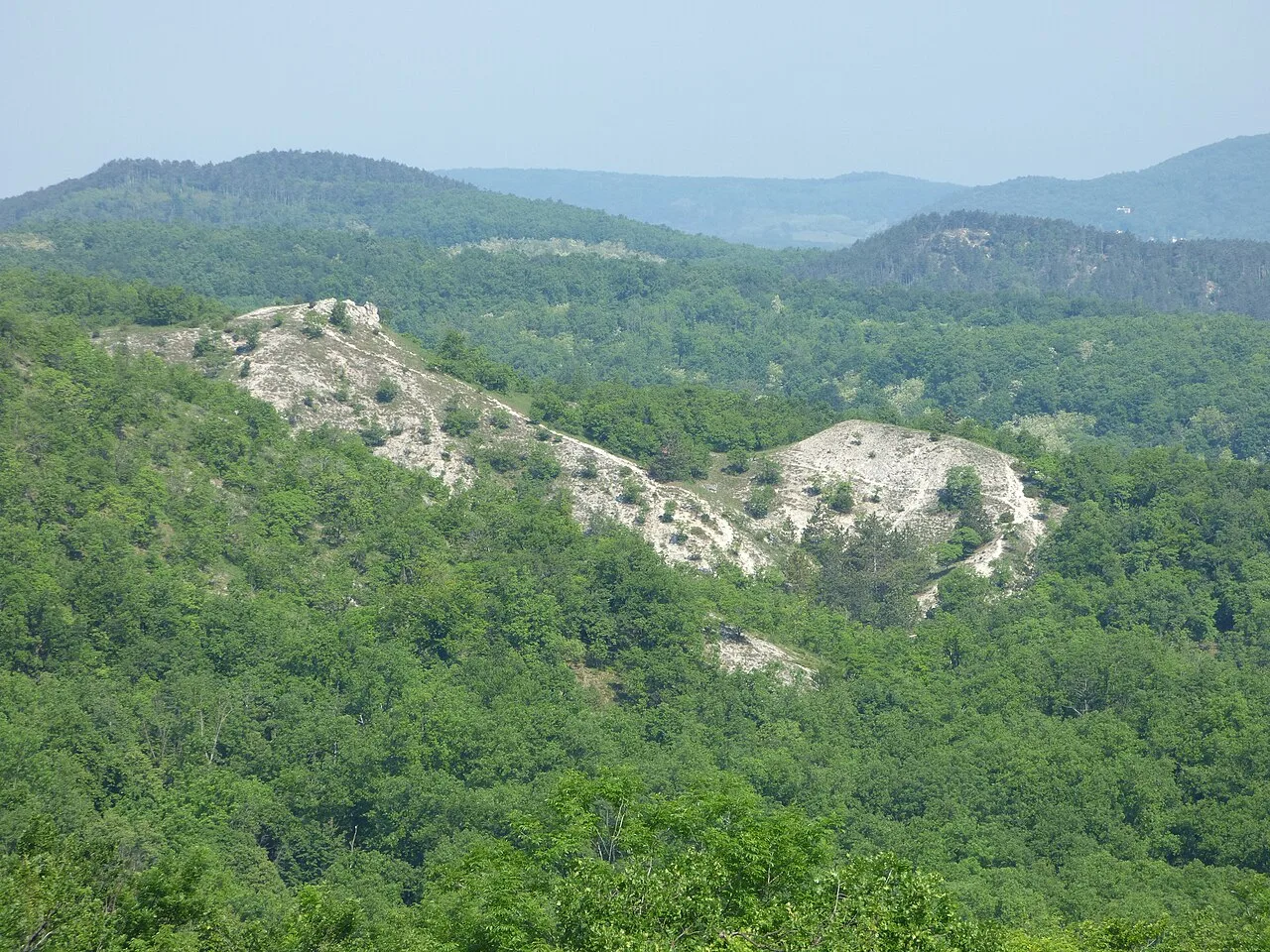
The Visegrád Mountains are a volcanic range on the right bank of the Danube, defining the dramatic landscape of the Danube Bend. Formed approximately 15 million years ago by andesitic volcanic activity, the mountains feature rugged terrain, deep gorges like the Rám-szakadék, and prominent peaks. Dobogó-kő, at 700 meters, is the highest elevation and is historically regarded as the birthplace of organized Hungarian hiking. The region's history is deeply intertwined with the royal town of Visegrád, where the high citadel and the Royal Palace served as the residence for Hungarian kings during the 14th and 15th centuries. Lush forests of beech and oak cover the slopes, providing a rich habitat for wildlife within the Danube-Ipoly National Park, including wildcats and rare owls. One of the most famous vantage points is Prédikálószék, offering an unparalleled view of the Danube's horseshoe curve. Today, the Visegrád Mountains are a major hub for outdoor activities, attracting hikers, history buffs, and nature lovers seeking to explore the intersection of geological wonders and medieval heritage.
- Location: Hungary
- Top sights: Ágas-hegy · Kis-Pap-hegy · Burgus Solva 35
- Nearby: Nagymaros (5 km)
Best time to visit & climate
The most pleasant time to visit is Jun–Aug.
| Jan | Feb | Mar | Apr | May | Jun | Jul | Aug | Sep | Oct | Nov | Dec | |
|---|---|---|---|---|---|---|---|---|---|---|---|---|
| Avg °C | -2 | 0 | 5 | 11 | 16 | 20 | 22 | 22 | 16 | 10 | 5 | -1 |
| Rain mm | 44 | 42 | 42 | 37 | 69 | 71 | 74 | 65 | 55 | 52 | 48 | 46 |
📋 Practical info
Geography
Facts
- The highest peak of the range is Dobogó-kő at 700 meters.
- The mountains were formed by volcanic activity around 15 million years ago.
- Rám-szakadék is one of the deepest and most popular gorges in Hungary.
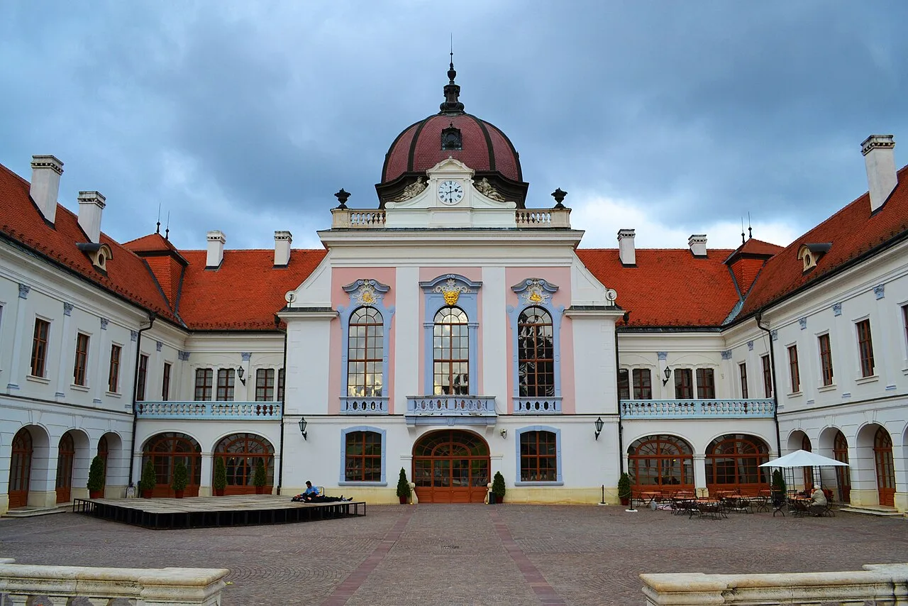
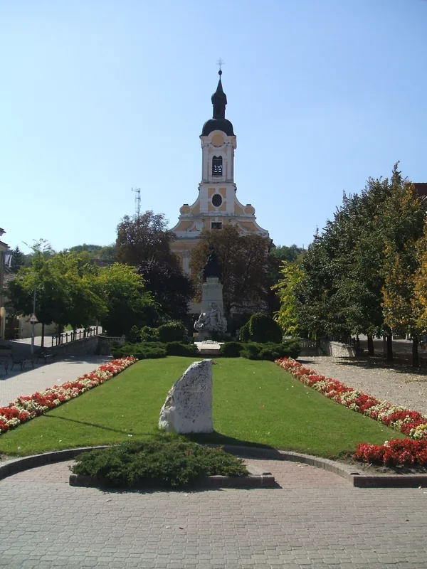
- Visegrád served as the capital of Hungary in the 14th century.
- The range features over 1,000 kilometers of marked hiking trails.
- The iconic Visegrád Citadel was built between 1250 and 1259 by King Béla IV.
Explore nearby
Notable places around
Route planner — Car & Motorhome
Where do you start? We build the route here, with stops and country notes along the way.
© OpenStreetMap contributors · OpenRouteService
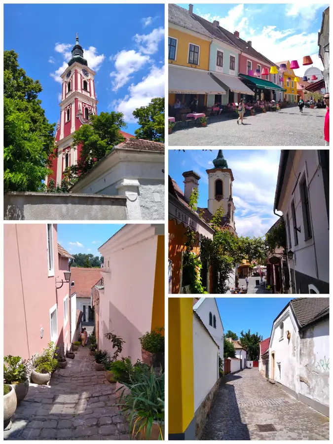
Sights in the town Visegrád Mountains (10)
late Roman fortlet Visegrad-Gizellamajor
Late Roman fortification.
Római erőd romja
Ruins of a Roman fort.
Nagy-bükk
Hill in Pest County, Hungary.
3.lh.
Archaeological site, likely Roman in origin.
Prédikálószék-kilátó
12 m high wooden lookout tower with three upward-widening terraces. Hand-painted panels about Hungarian kings. Webcams, Wi-Fi, fire pit, benches.
Bányatető-kilátó
Viewpoint on a hilltop with panoramic views.
Sights nearby
Frequently asked questions
How can the Visegrád Mountains be reached from Budapest?
What is the most famous natural sight here?
Can Visegrád Castle be reached by car?
Are there opportunities for winter sports in the mountains?
Are the hiking trails well-marked?
Visegrád Mountains: where is it located?
Visegrád Mountains: what is there to see?
Visegrád Mountains: when is the best time to visit?
Visegrád Mountains: why is it worth visiting?

Nearby cities


History & landmarks


Nature
More places