Plizio Visual Lab
Altal-er River

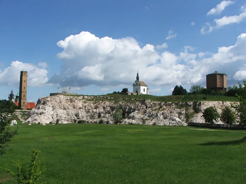
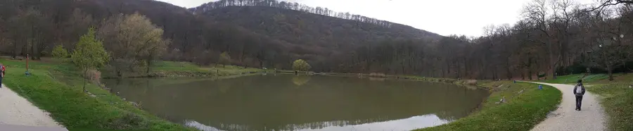
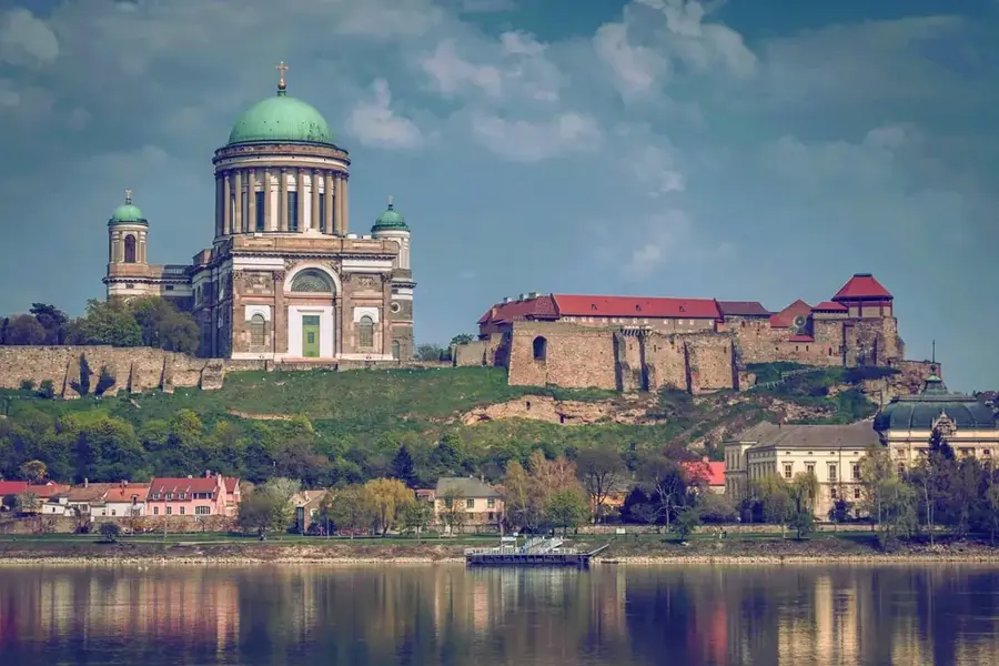
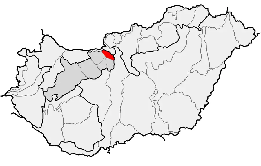
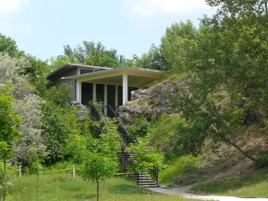
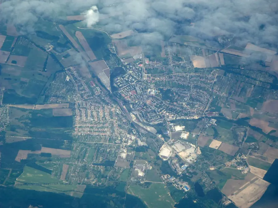
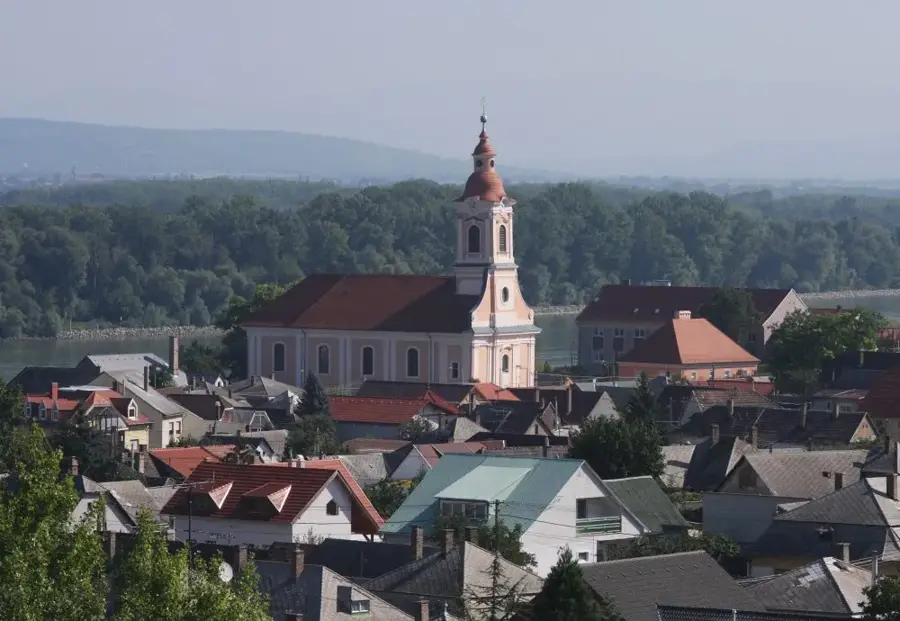
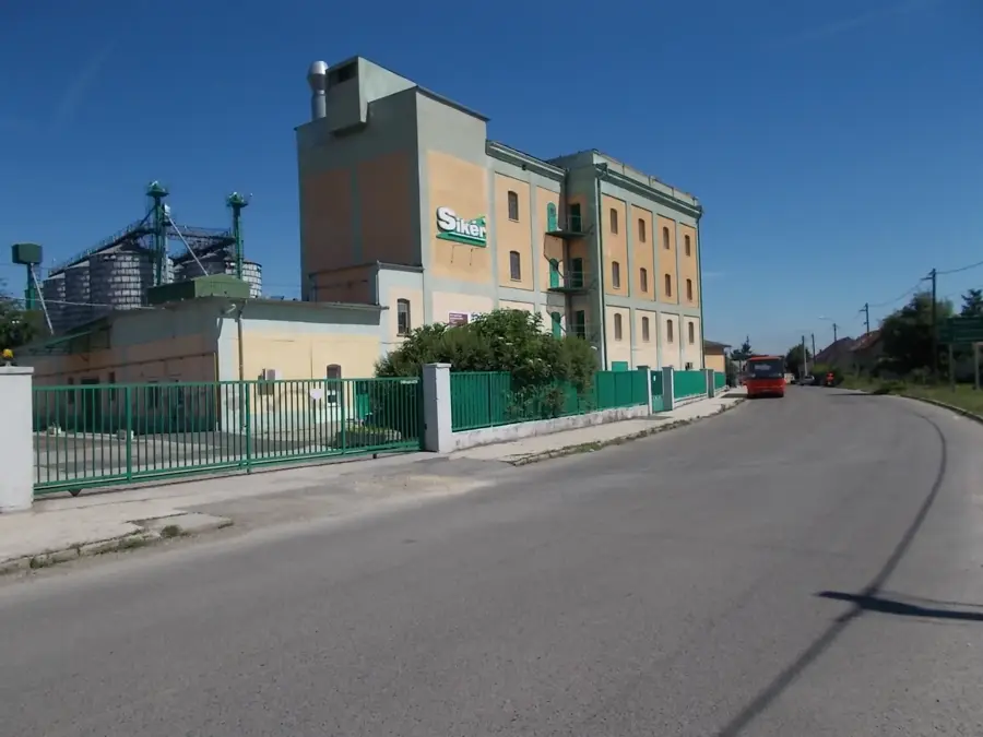
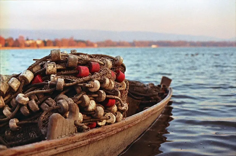
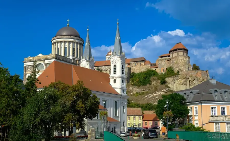
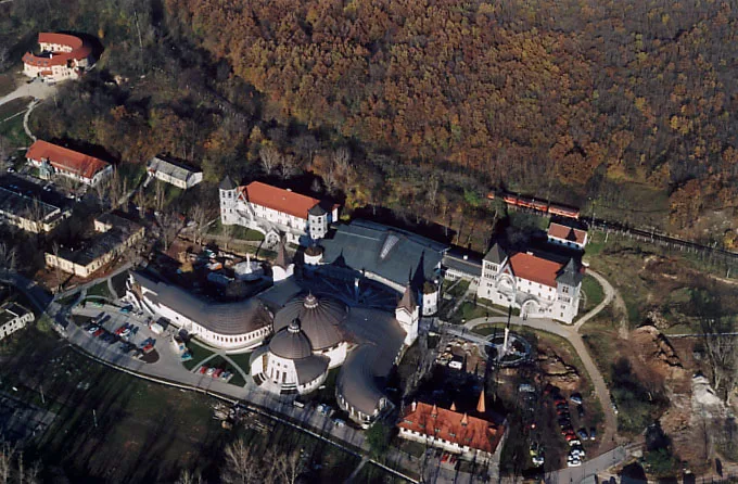
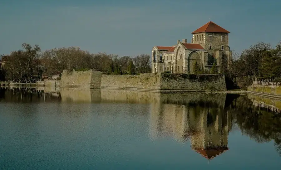
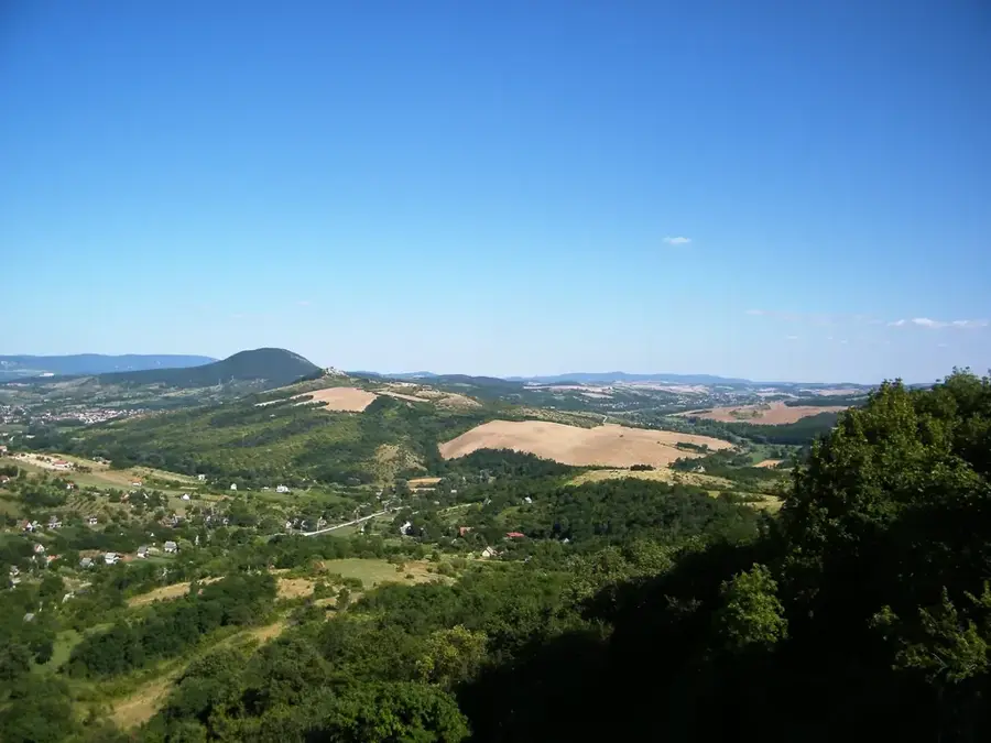
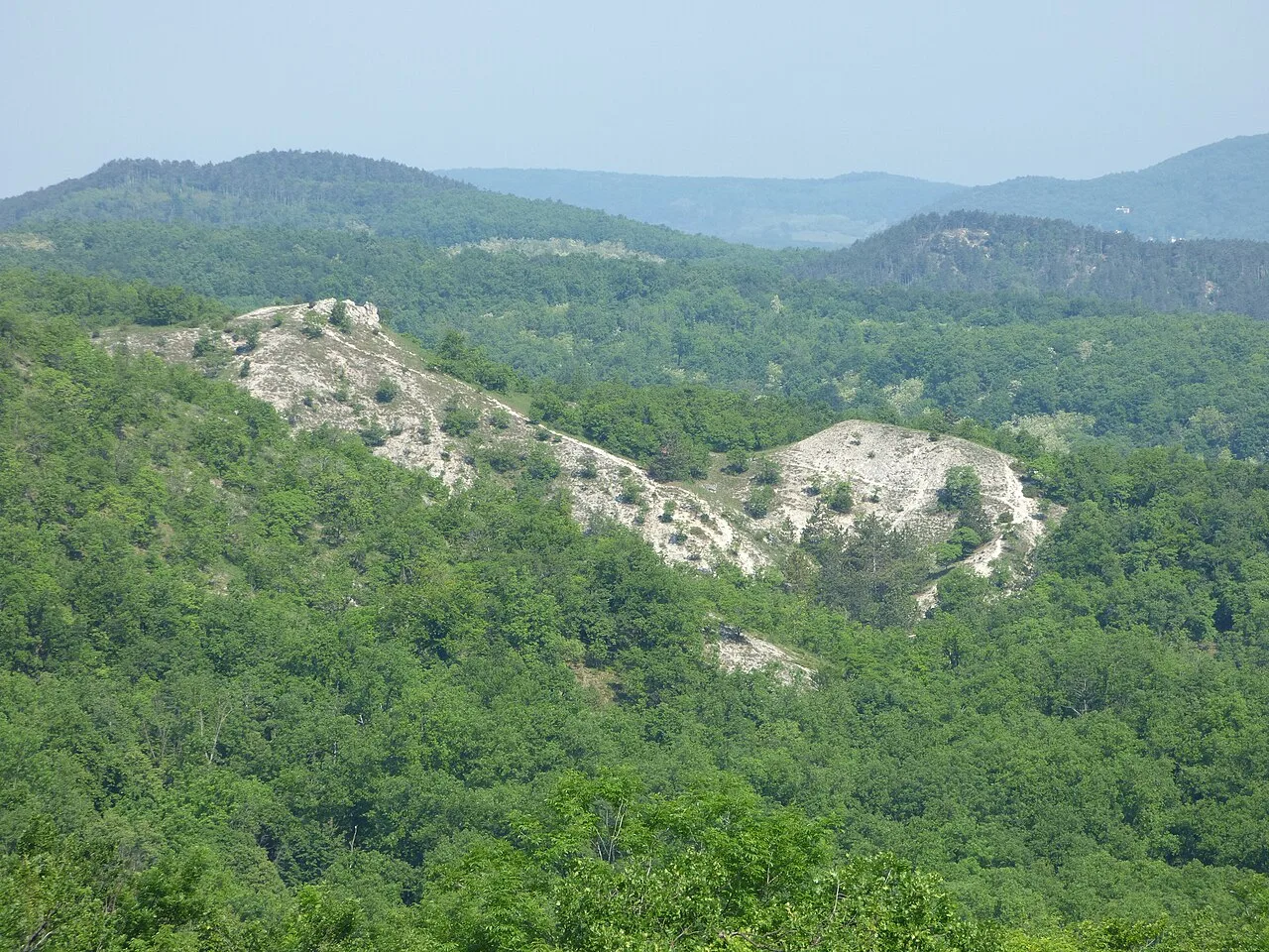
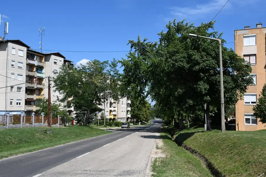
The Által-ér is a significant right-bank tributary of the Danube in northwestern Hungary, originating in the northern slopes of the Vértes Mountains. Flowing for approximately 51 kilometers, it traverses a diverse landscape before reaching its mouth at Dunaalmás. Historically, the river's power was harnessed for mills as early as the Roman era, and later it played a crucial role in supporting the region's medieval settlements. During the 20th century, the river was heavily impacted by the coal mining industry in the Tatabánya basin, leading to extensive engineering works and environmental challenges. A key highlight of its course is the Old Lake (Öreg-tó) in Tata, which the river feeds; this lake is a protected Ramsar site and a vital stopover for tens of thousands of migrating wild geese. Recent ecological restoration efforts have focused on improving water quality and restoring the natural habitats along its banks. The river basin, covering over 500 square kilometers, remains a vital link between the industrial heritage and the natural beauty of the Gerecse and Vértes regions.
- Location: Hungary
- Nearby: Bicske (25 km)
Best time to visit & climate
The most pleasant time to visit is Jun–Aug.
| Jan | Feb | Mar | Apr | May | Jun | Jul | Aug | Sep | Oct | Nov | Dec | |
|---|---|---|---|---|---|---|---|---|---|---|---|---|
| Avg °C | -2 | 0 | 5 | 11 | 16 | 21 | 23 | 22 | 17 | 11 | 5 | 0 |
| Rain mm | 39 | 40 | 41 | 35 | 65 | 70 | 66 | 63 | 57 | 51 | 44 | 43 |
📋 Practical info
Geography
Facts
- The total length of the river is approximately 51 kilometers.
- Its source is located in the Vértes Mountains near Pusztavám.
- The river flows into the Danube at the town of Dunaalmás.
- The catchment area covers approximately 520 square kilometers.
- It feeds the Old Lake in Tata, a vital habitat for migratory birds.
- During the 18th century, over ten watermills operated along its course.
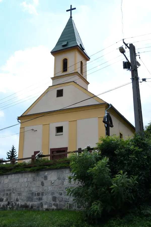
Explore nearby
Notable places around
Route planner — Car & Motorhome
Where do you start? We build the route here, with stops and country notes along the way.
© OpenStreetMap contributors · OpenRouteService
Sights in the town Altal-er River (1)
Sights nearby
Frequently asked questions
Where does the Által-ér originate?
What is the significance of the stream for Tata?
Is there a bicycle path along the Által-ér?
Is fishing allowed in the stream?
Is there a risk of flooding?
Altal-er River: where is it located?
Altal-er River: when is the best time to visit?
Altal-er River: why is it worth visiting?

Nearby cities


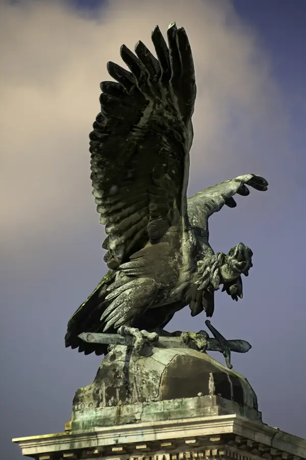
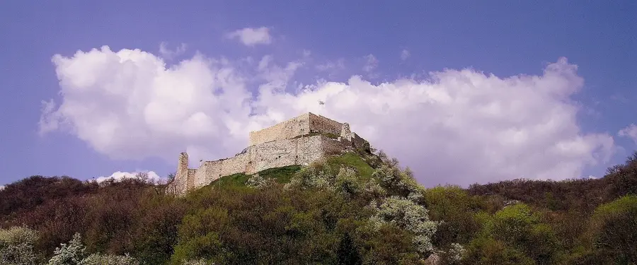
History & landmarks
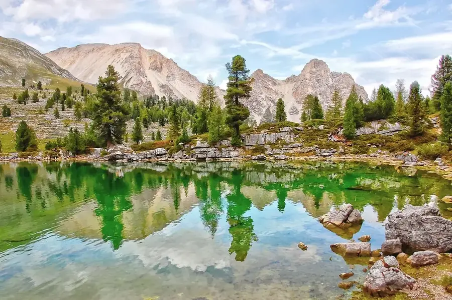
Nature
More places