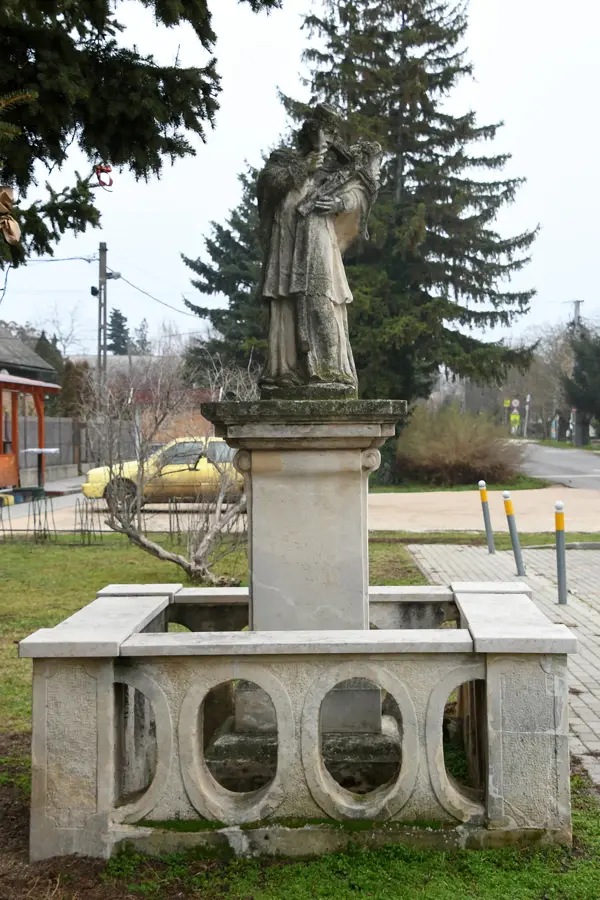
Napóra
Sundial on Száraz Hill, tells time using shadows.
Plizio Visual Lab
Weather…
Water temperature…
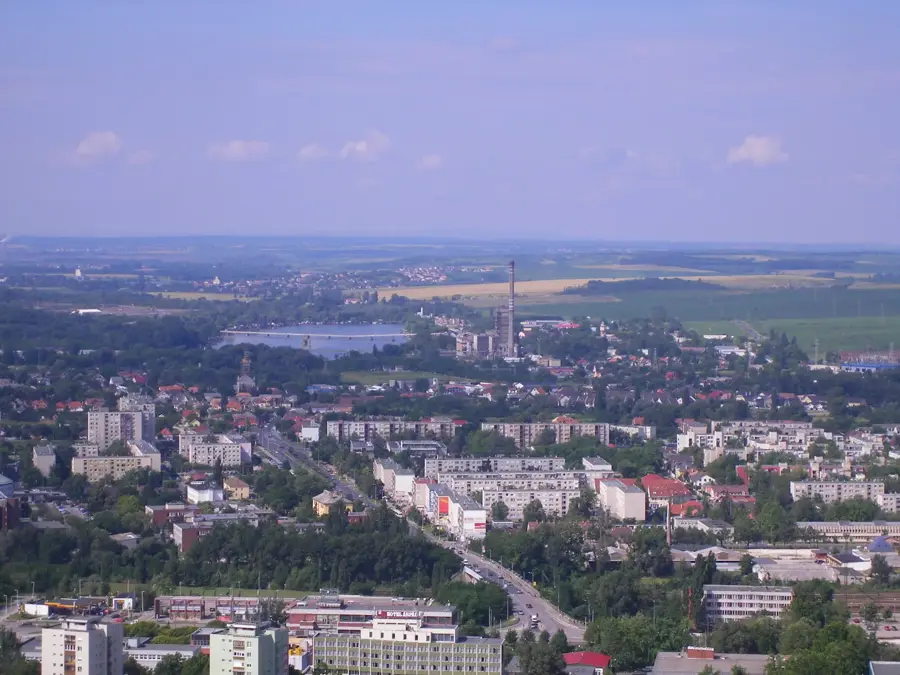
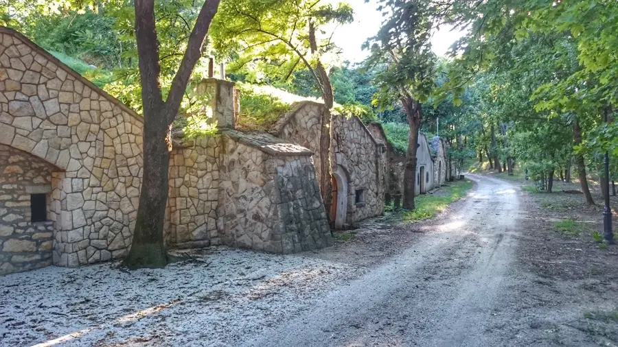
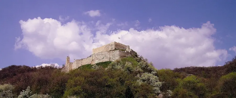
Száraz Hill, located in the Mátra Mountains of northern Hungary, represents a prominent elevation within the volcanic low mountain range. With a height of approximately 816 meters above sea level, it is part of the Galyatető group and, due to its geographical location, provides excellent conditions for hikers and nature lovers. The geological composition is primarily determined by Miocene andesite rocks, which bear witness to the intense volcanic activity millions of years ago. The vegetation consists predominantly of dense beech forests, complemented in higher elevations by subalpine plant species. The name 'Száraz-hegy' (Dry Mountain) historically refers to the small number of permanent springs in the summit area, making the water flow of the local streams highly seasonal. Panoramic views from the summit extend over the Kékes massif and into the Hungarian Great Plain. Several well-known health resorts are located in the vicinity, utilizing the mountain's mild microclimate for therapeutic purposes.
The most pleasant time to visit is Jun–Aug.
| Jan | Feb | Mar | Apr | May | Jun | Jul | Aug | Sep | Oct | Nov | Dec | |
|---|---|---|---|---|---|---|---|---|---|---|---|---|
| Avg °C | -2 | 0 | 5 | 11 | 16 | 21 | 23 | 22 | 17 | 11 | 5 | 0 |
| Rain mm | 39 | 40 | 41 | 35 | 65 | 70 | 66 | 63 | 57 | 51 | 44 | 43 |
Notable places around
Where do you start? We build the route here, with stops and country notes along the way.
© OpenStreetMap contributors · OpenRouteService
Sundial on Száraz Hill, tells time using shadows.
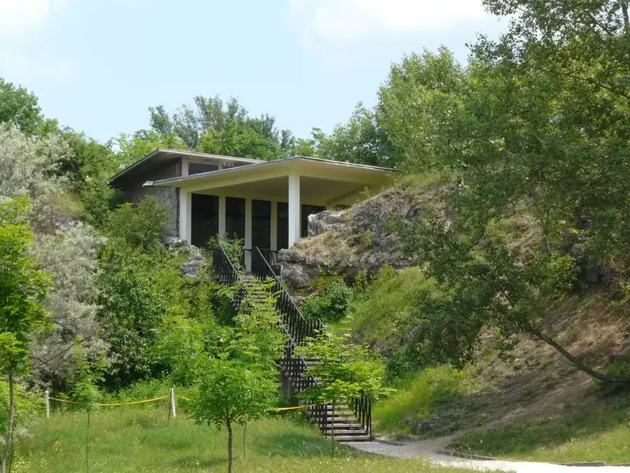
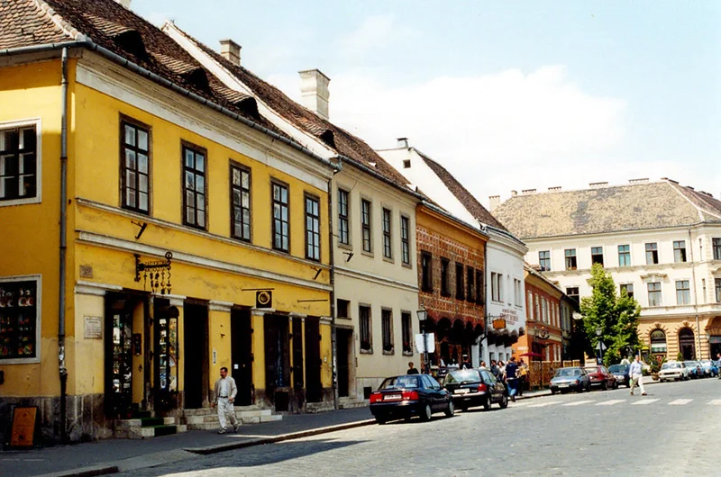
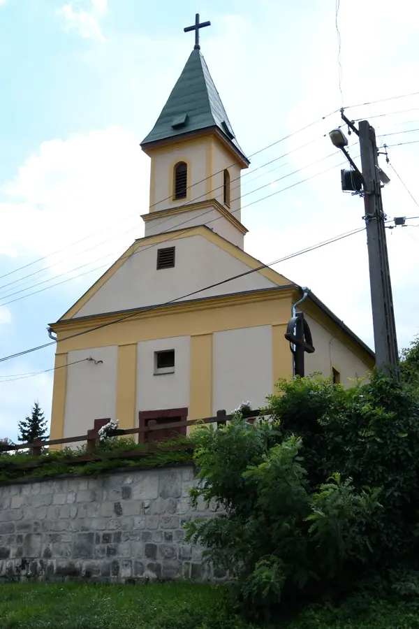
Local history museum with a traditional farmhouse exhibit.
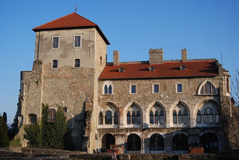
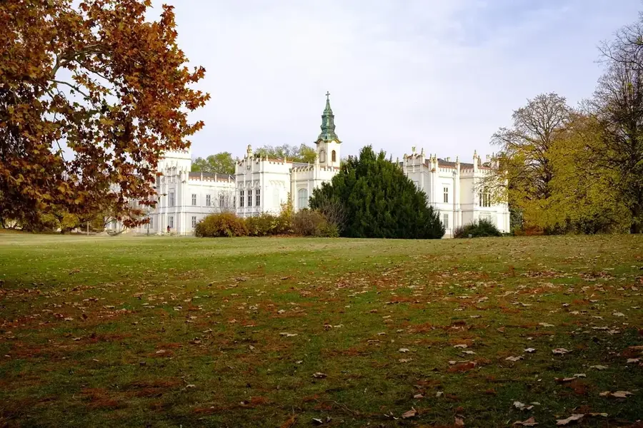
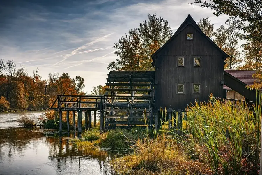
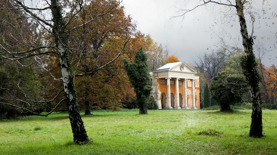
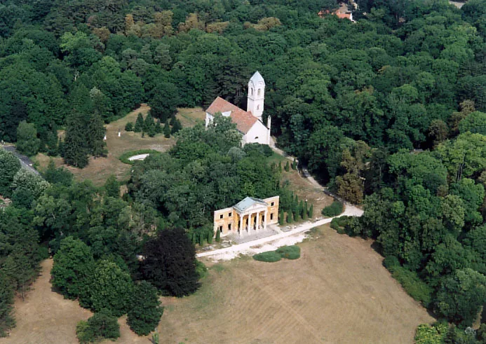
Manor house of the Takács family, a historic residence.