Plizio Visual Lab
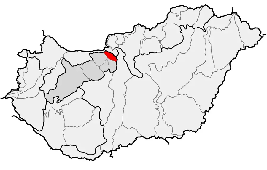
Gerecse
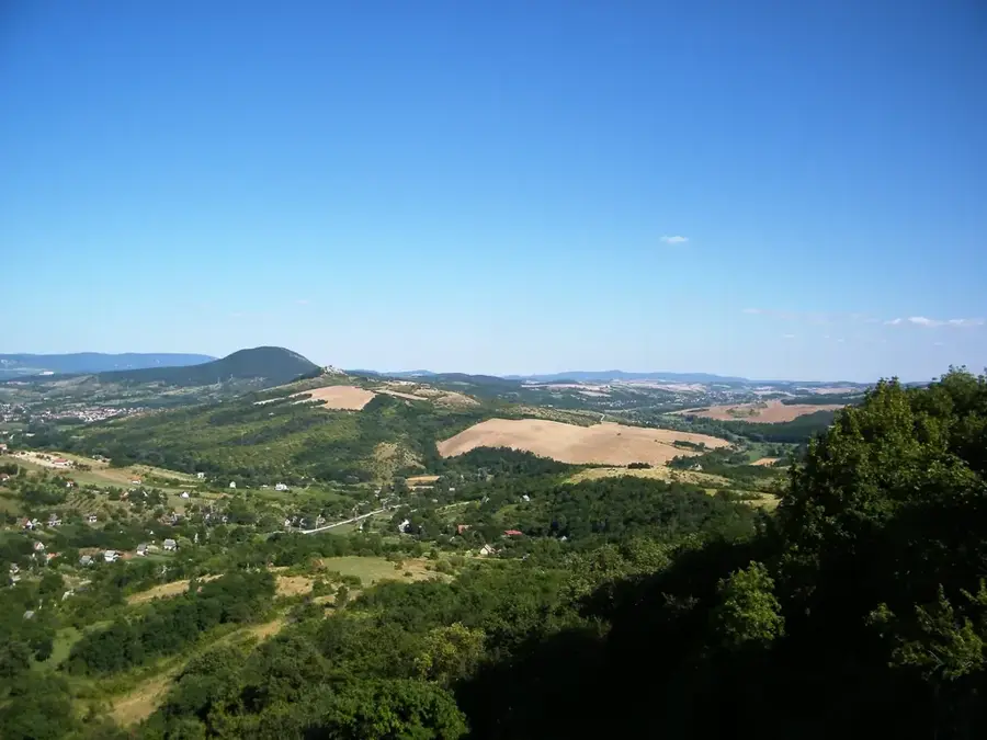
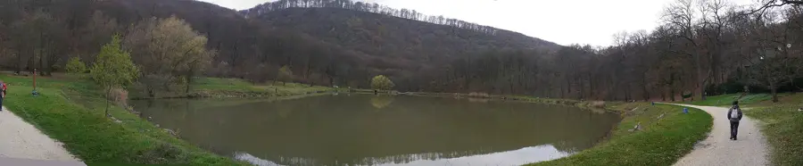
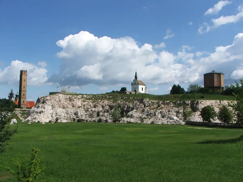
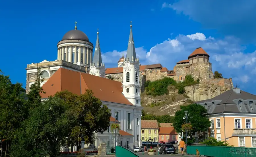
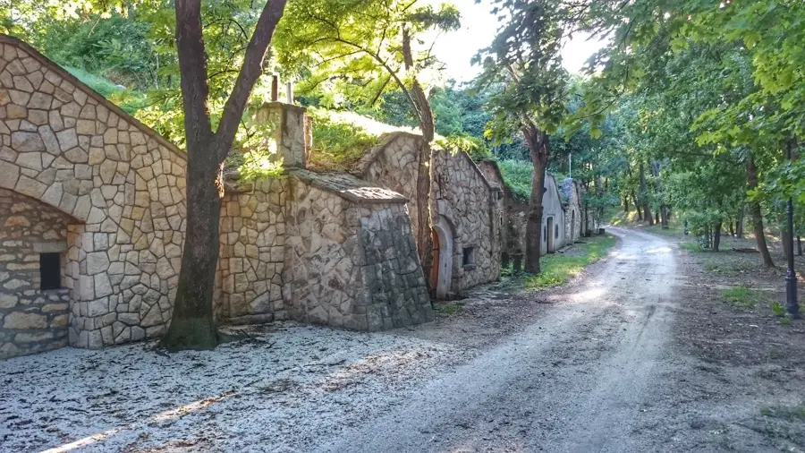
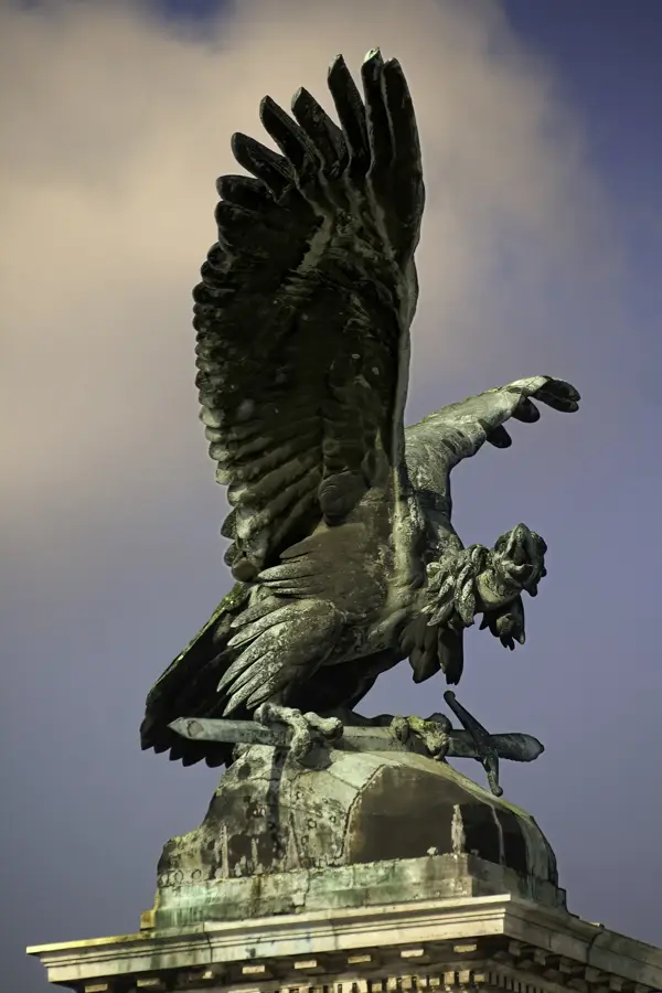
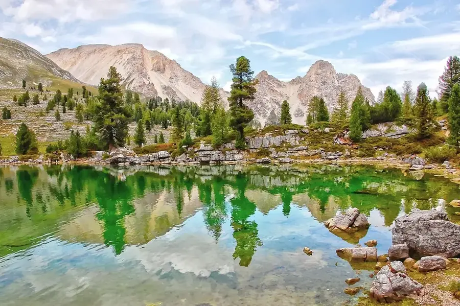
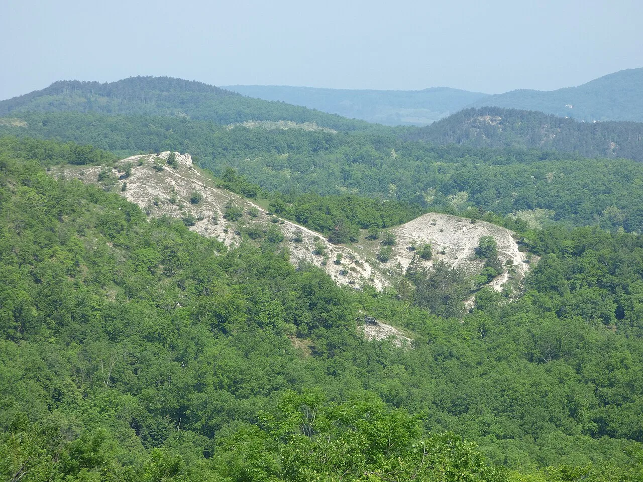
The Gerecse Mountains are a mountain range in northwestern Hungary, part of the Transdanubian Mountains situated between Vértes and the Danube River. They primarily consist of Mesozoic limestone and dolomite, with the most famous rock being the red limestone from Tardos, often called "red marble," which has been used for prestigious buildings across Europe since Roman times. The highest peak is Nagy-Gerecse, reaching an elevation of 633 meters, crowned by a prominent telecommunications tower. The range is noted for its karst plateaus, deep gorges, and over 300 caves, among which the Szelim Cave is of significant archaeological importance. The region is a favorite destination for hikers and hosts the popular "Gerecse 50" long-distance performance hike. Its diverse wildlife includes dense beech and oak forests and rare birds of prey, such as the eastern imperial eagle.
- Location: Hungary
- Top sights: Elhagyott erdei vasúti töltésszakasz · Gorba mészégető · Rádió Múzeum
- Nearby: Dorog (22 km)
Best time to visit & climate
The most pleasant time to visit is Jun–Aug.
| Jan | Feb | Mar | Apr | May | Jun | Jul | Aug | Sep | Oct | Nov | Dec | |
|---|---|---|---|---|---|---|---|---|---|---|---|---|
| Avg °C | -2 | 0 | 5 | 11 | 16 | 21 | 23 | 22 | 17 | 11 | 5 | 0 |
| Rain mm | 39 | 40 | 41 | 35 | 65 | 70 | 66 | 63 | 57 | 51 | 44 | 43 |
📋 Practical info
Geography
Facts
- Highest peak: Nagy-Gerecse at 633 meters
- Famous Tardos red limestone has been quarried for centuries
- Over 300 registered caves within the mountain range
- Home to the archaeologically significant Szelim Cave
- Host of the annual Gerecse 50 performance hike
- Part of the limestone belt of the Carpathian Basin
Explore nearby
Notable places around
Route planner — Car & Motorhome
Where do you start? We build the route here, with stops and country notes along the way.
© OpenStreetMap contributors · OpenRouteService
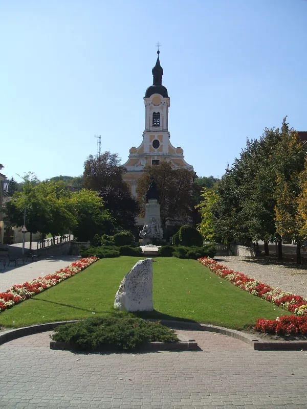
Sights in the town Gerecse (10)
XIV. stáció
Fourteenth station of a Way of the Cross in the Gerecse hills.
XIII. stáció
Thirteenth station of a Way of the Cross in the Gerecse hills.
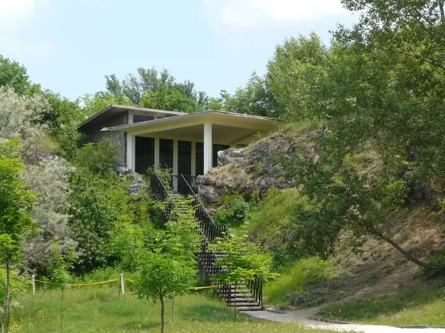
Gorba-tetői-barlang
Cave on Gorba peak in the Gerecse hills.
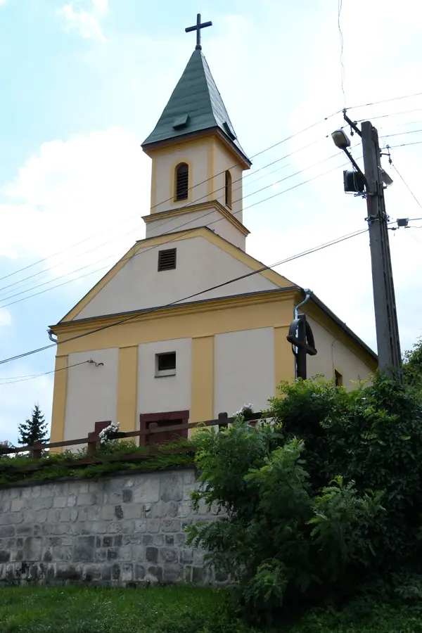
Páduai Szent Antal-templom
Church building in Vértestolna, Hungary, dedicated to Saint Anthony of Padua.
Agostyáni Arborétum
Arboretum in Agostyán with a collection of trees and shrubs.
Sváb tájház🏛 museum
Museum in a traditional Swabian farmhouse, showcasing the life of Hungarian Germans.
Sights nearby
Frequently asked questions
What is the symbol of the Gerecse Mountains?
What rock is the mountain range famous for?
Are there caves in Gerecse?
How high is the highest point?
Can you hike there in winter?
Gerecse: where is it located?
Gerecse: what is there to see?
Gerecse: when is the best time to visit?
Gerecse: why is it worth visiting?

Nearby cities

History & landmarks
Nature
More places