Plizio Visual Lab
Budaörs
ℹ️Practical info — Budaörs
▾
🌤 Weather — 5 days
📍 Nearby
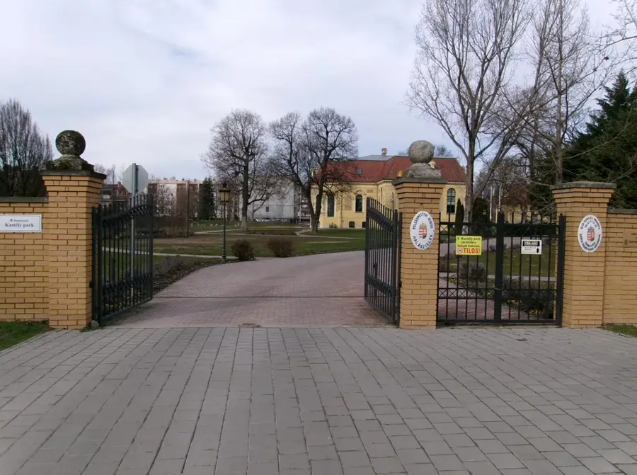
Sights nearby
💡 Tips
- The Kopasz-hegy (Bald Hill) provides impressive views but has very little shade; avoid hiking it during the midday summer heat.
- Budaörs is famous for its passion play (Passió); if visiting during the season, be sure to book tickets well in advance.
- Traffic on the main road can be heavy during rush hour; use the smaller parallel residential streets if walking.
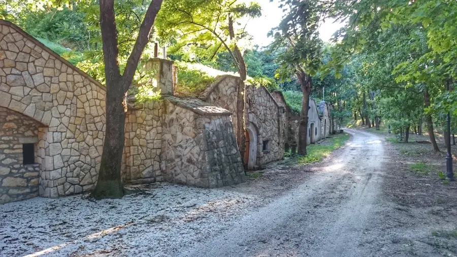
- There are excellent hiking trails in the Budaörsi Kopárok (Budaörs Barrens); wear sturdy shoes due to rocky paths.
🍽 Food
Explore the town's German heritage at traditional local restaurants serving hearty cabbage-based meals.
Budaörs has several renowned local pastry shops on the main street offering traditional Hungarian cakes.
A warming, classic soup option after a long hike, readily available at traditional csárdas or local bistros.
🛍 Shopping · 🧘 Quiet spots
The local market is a great place to buy fresh seasonal fruits, vegetables, and homemade cheeses.
Budaörs has a historical wine-making tradition; look for local wines in specialized wine shops around the center.
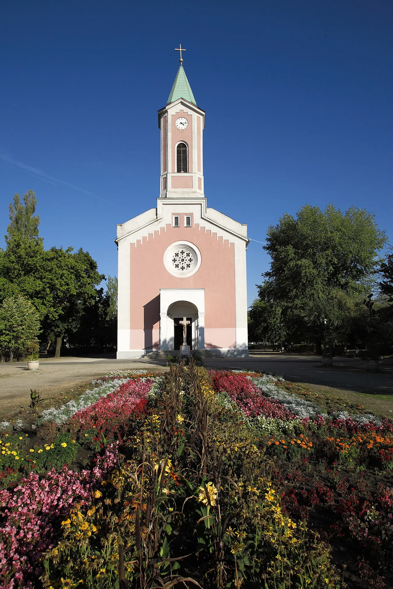
Gives a moderately challenging, quiet hike leading to a peaceful chapel and great panoramic views.
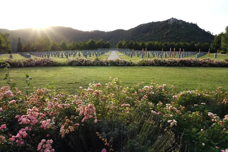
The area around the old glider airport is wide open and incredibly peaceful for a sunset stroll.
Water temperature…
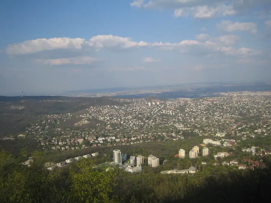
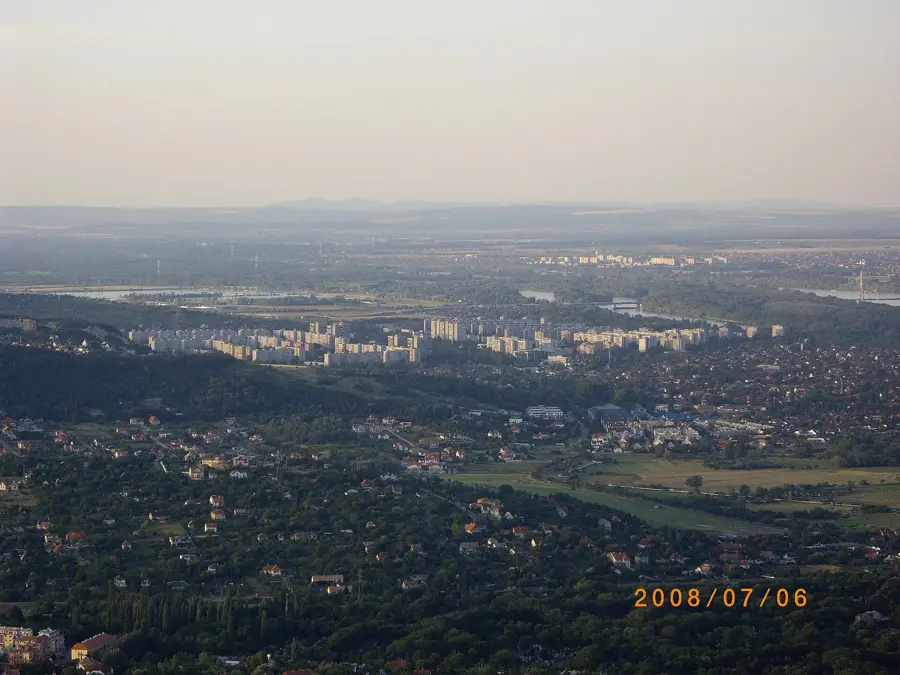
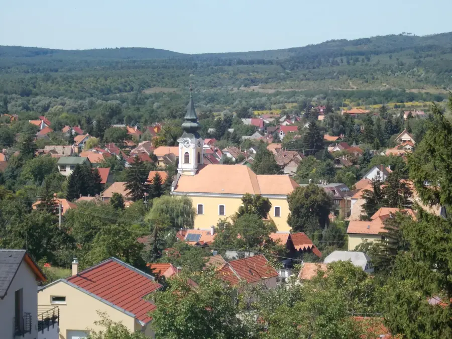
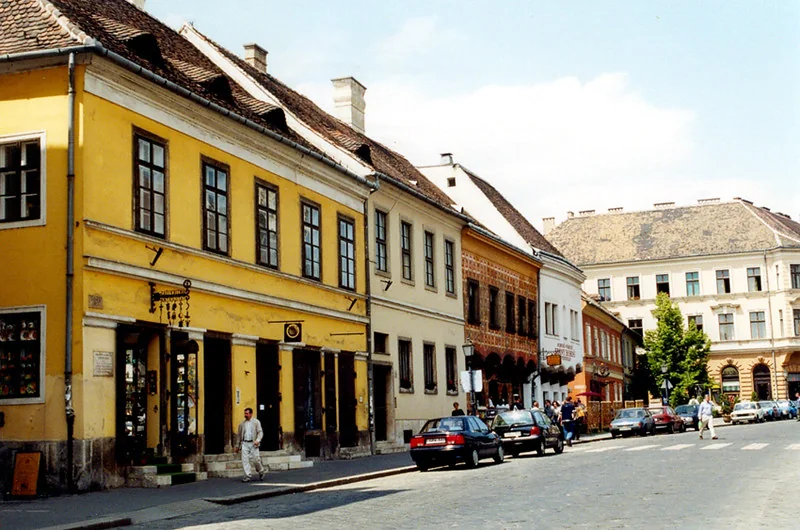
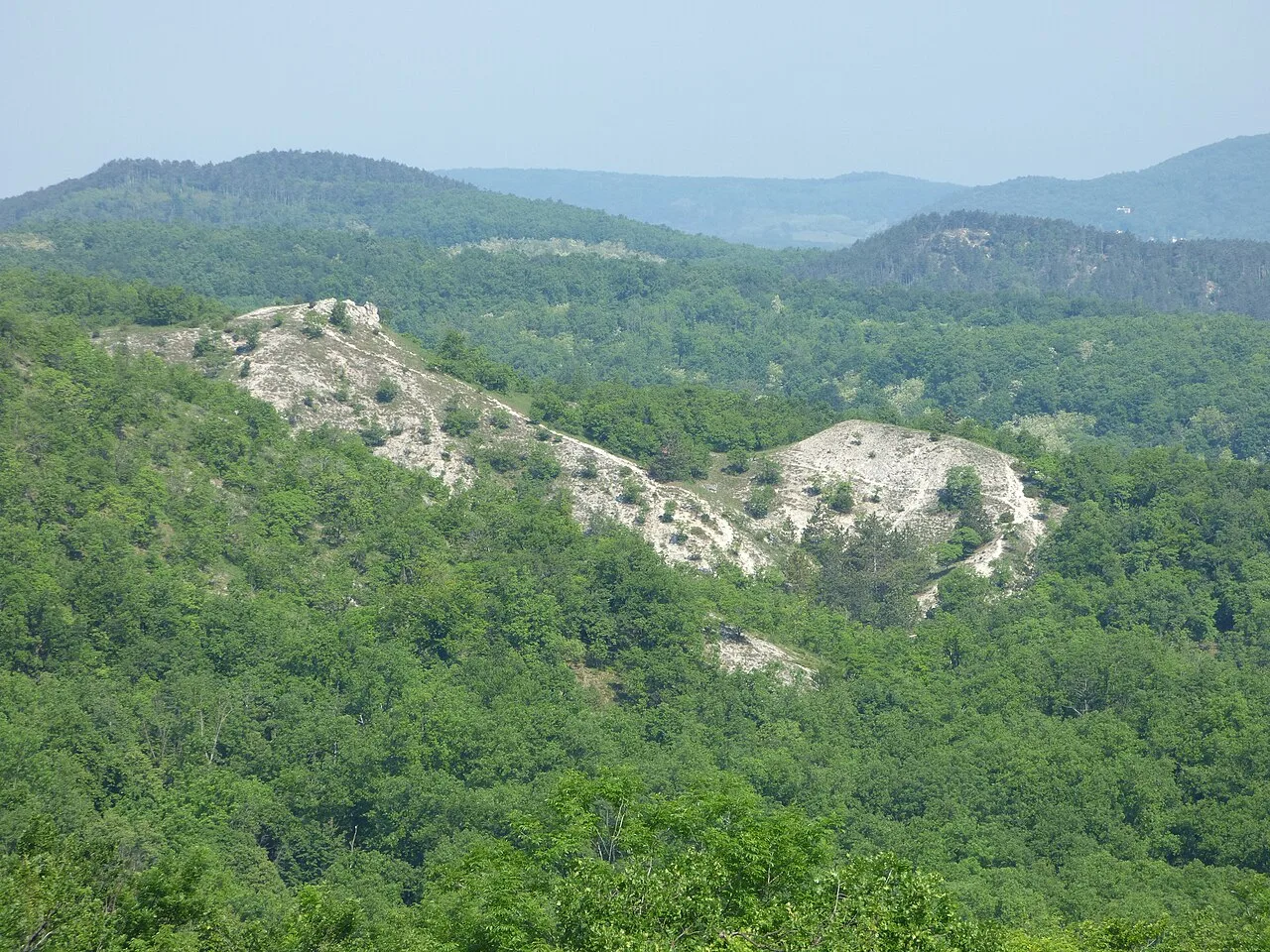
Budaörs is a prosperous town in Pest County, directly bordering the southwestern edge of Budapest with an area of 23.59 square kilometers. Tucked away in a valley flanked by the striking rocky limestone formations of the Buda Hills, such as Kő-hegy, the town features dramatic natural scenery. Historically, Budaörs was a thriving Swabian village following 18th-century resettlements, widely renowned for its peach orchards and winemaking. The mass expulsion of ethnic Germans in 1946 drastically altered its demographic makeup. Today, Budaörs is recognized as one of Hungary's wealthiest municipalities. Its strategic location along the massive M1 and M7 motorway junction has transformed its outskirts into a major commercial hub, hosting multinational headquarters and sprawling retail parks. Achieving town status in 1989, Budaörs perfectly merges highly lucrative suburban commerce with the protected, rugged nature of the surrounding hills, making it an elite residential zone.
- Location: Hungary
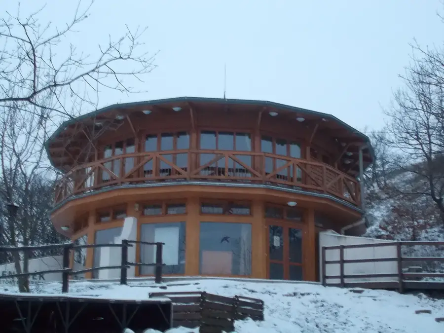
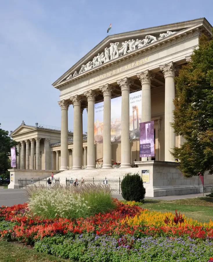
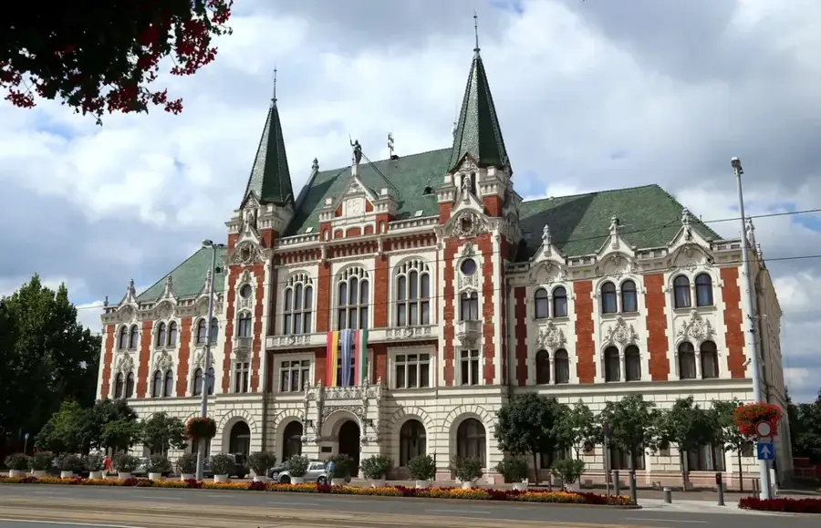
- Top sights: Jakob Bleyer Local History Museum · Kő-hegy (Stone Hill) · Odvas Hill
- Nearby: Budakeszi (6 km)
- Population: ~29.291
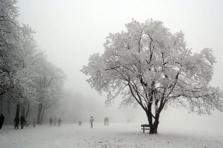
Best time to visit & climate
The most pleasant time to visit is Jun–Aug.
| Jan | Feb | Mar | Apr | May | Jun | Jul | Aug | Sep | Oct | Nov | Dec | |
|---|---|---|---|---|---|---|---|---|---|---|---|---|
| Avg °C | -2 | 0 | 5 | 11 | 16 | 21 | 23 | 22 | 17 | 11 | 5 | 0 |
| Rain mm | 39 | 40 | 41 | 35 | 65 | 70 | 66 | 63 | 57 | 51 | 44 | 43 |
Geography
Facts
- Administrative area comprises 23.59 square kilometers
- The rocky Kő-hegy peak reaches 235 meters in height
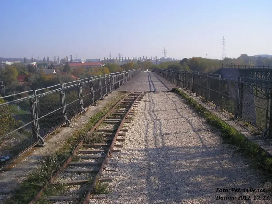
- Budaörs Airport officially commenced operations in 1937
- Post-WWII expulsion of ethnic Germans occurred in 1946
- Town privileges were formally granted in 1989
- Population is approaching 29,000 residents
Explore nearby
Notable places around
Route planner — Car & Motorhome
Where do you start? We build the route here, with stops and country notes along the way.
© OpenStreetMap contributors · OpenRouteService
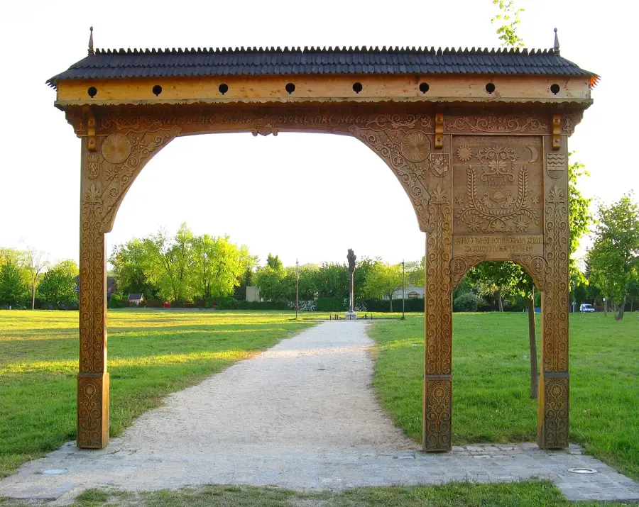
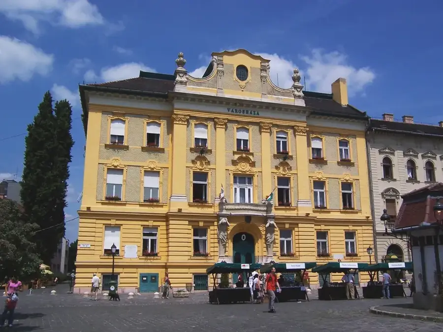
Sights in the town Budaörs (7)
Frequently asked questions
What is Budaörs famous for?
Can you hike up Kőhegy?
What is the Budaörs Airport?
Are there museums in Budaörs?
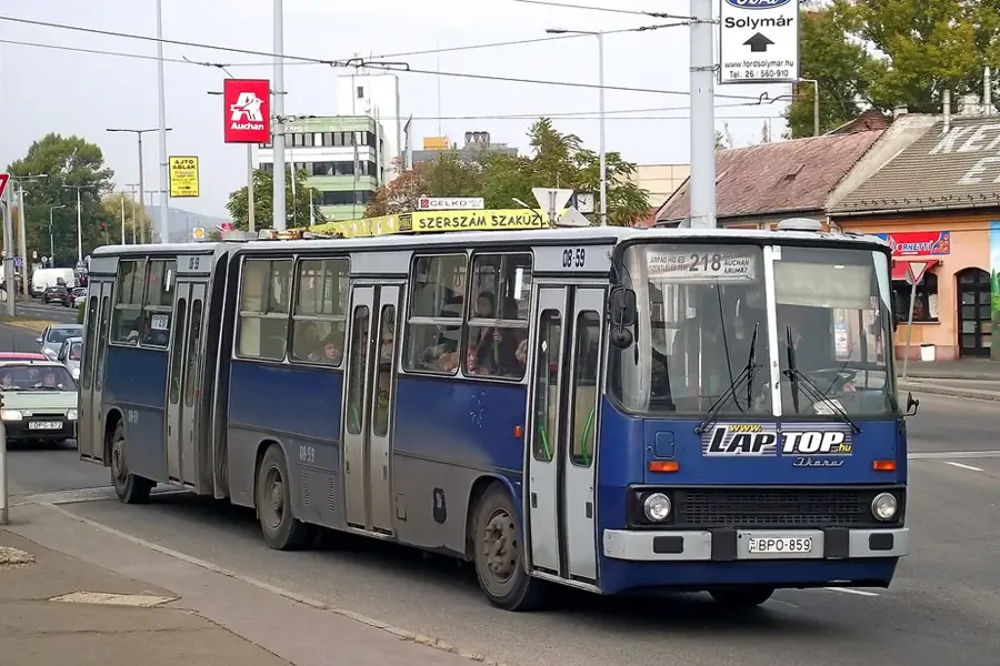
Is it easily accessible by bus?
Budaörs: where is it located?
Budaörs: what is there to see?
Budaörs: when is the best time to visit?
Budaörs: why is it worth visiting?

Nearby cities

History & landmarks


Nature
More places