Plizio Visual Lab
Harmashatar Hill
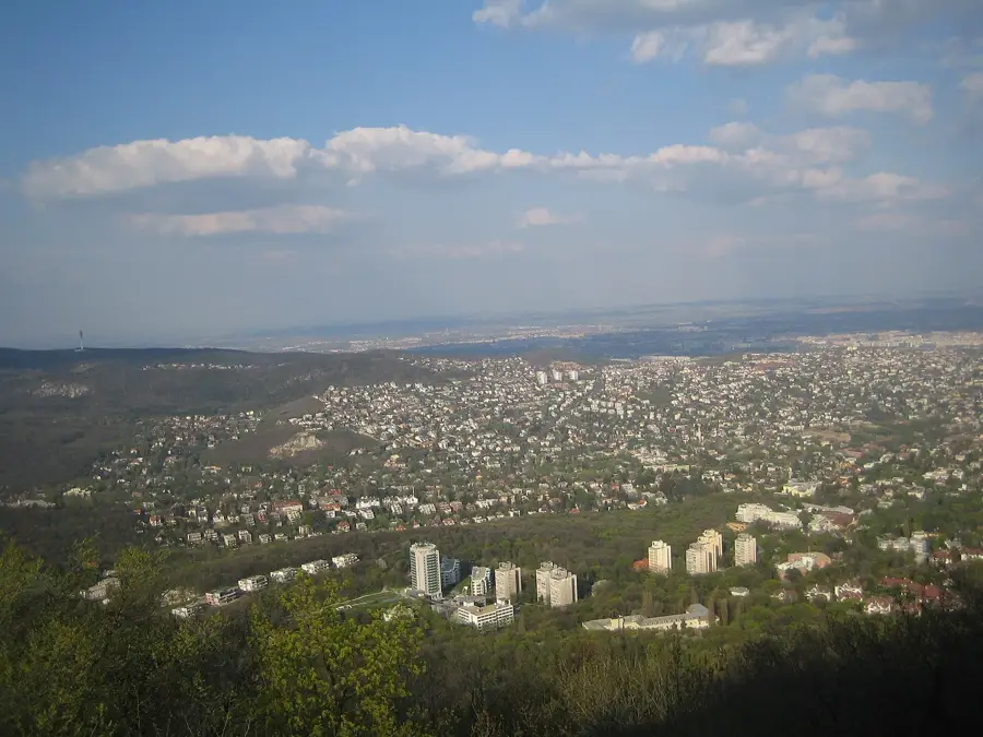
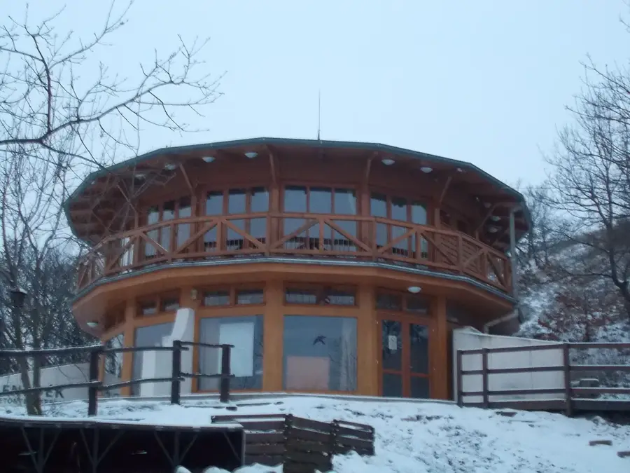
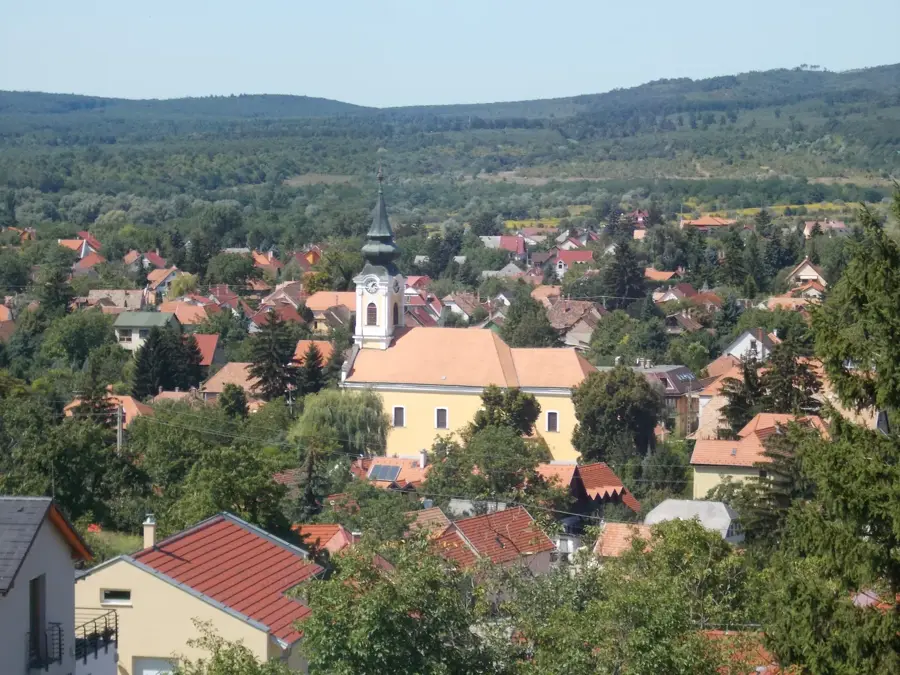
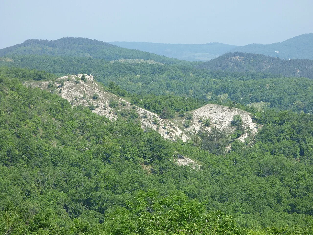
Harmashatar Hill is a 495-meter peak in the Buda Hills, named after the 19th-century meeting point of the borders of Buda, Obuda, and Pesthidegkut. The area is characterized by its barren, rocky ridges and expansive meadows, which provided excellent conditions for gliding. The history of aviation on the hill began in 1933, and the airfield at its base remains an active center for the sport to this day. During World War II, the hill served as a strategically important military observation point, with remains of former anti-aircraft positions still visible. The vegetation consists of artificially planted black pine forests and native oak forests at lower elevations. Since 2016, a modern wooden lookout tower with an octagonal base has stood at the summit, providing a complete 360-degree panorama of Budapest and the Pilis Mountains.
- Location: Hungary
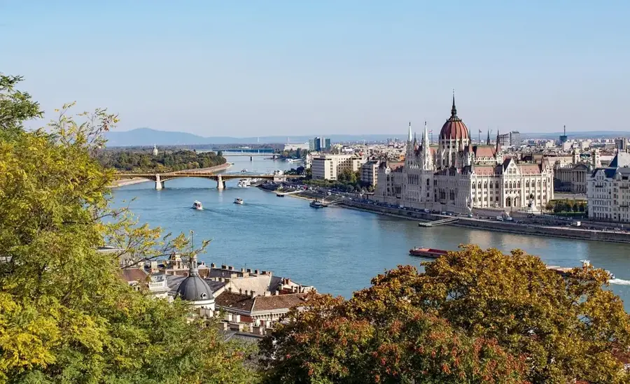
- Top sights: PG starthely, HHH-Óbuda ÉK · Guckler Károly-kilátópont · Guckler Károly Terasz
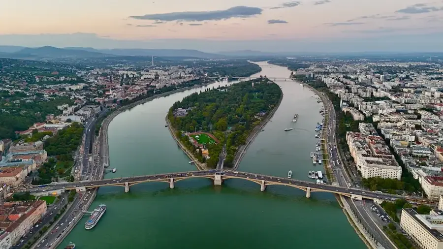
- Nearby: Újpest (7 km)
Best time to visit & climate
The most pleasant time to visit is Jun–Aug.
| Jan | Feb | Mar | Apr | May | Jun | Jul | Aug | Sep | Oct | Nov | Dec | |
|---|---|---|---|---|---|---|---|---|---|---|---|---|
| Avg °C | -2 | 0 | 5 | 11 | 16 | 21 | 23 | 22 | 17 | 11 | 5 | 0 |
| Rain mm | 39 | 40 | 41 | 35 | 65 | 70 | 66 | 63 | 57 | 51 | 44 | 43 |
📋 Practical info
Geography
Facts
- The elevation of the hill summit is 495 meters above sea level.
- The first gliding station was established on the hill in 1933.
- The name refers to the historical border meeting point of three towns.
- The Karoly Guckler lookout tower was officially opened in July 2016.
- The hill's geological structure is primarily composed of Triassic dolomite.
- On clear days, the ridges of the Matra and Tatra mountains are visible.
Explore nearby
Notable places around
Route planner — Car & Motorhome
Where do you start? We build the route here, with stops and country notes along the way.
© OpenStreetMap contributors · OpenRouteService
Sights in the town Harmashatar Hill (10)
Guckler Károly Terasz
Observation terrace on Hármashatár Hill with a view of Budapest.
ORFK-adótorony🗼 tower
Transmission tower of the Hungarian National Police on Hármashatár Hill.
Királylaki-barlang
Cave in Budapest, accessible only with NPI permission, locked.
Tábor-hegy
Former city part of Budapest, now a hill in the Buda Hills.
Tábor-hegy Cave
Cave in Budapest, accessible with NPI permission, specially protected.
Oroszlán-barlang
Cave in Budapest, part of the cave system in the Buda Hills.
Sights nearby
Frequently asked questions
How do I get to the mountain from Budapest?
Is there a lookout tower on the summit?
Can you go paragliding here?
Is there a restaurant nearby?
Is the path suitable for children?
Harmashatar Hill: where is it located?
Harmashatar Hill: what is there to see?
Harmashatar Hill: when is the best time to visit?
Harmashatar Hill: why is it worth visiting?

Nearby cities
History & landmarks

Nature
More places