Plizio Visual Lab
Törökbálint
ℹ️Practical info — Törökbálint
▾
🌤 Weather — 5 days
📍 Nearby
Sights nearby
💡 Tips
- The town has strong Swabian roots; look out for traditional Swabian architecture and heritage markers.
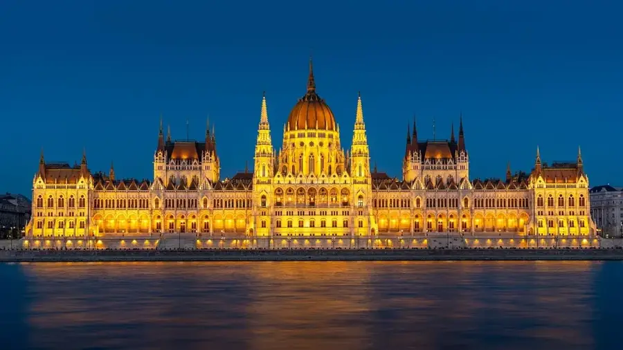
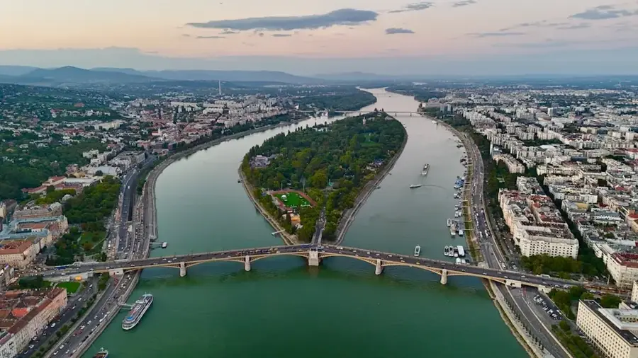
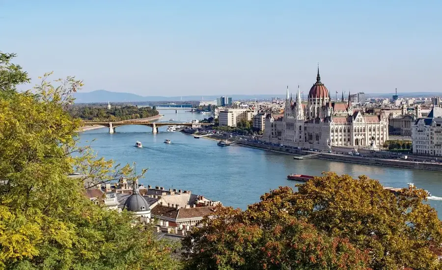
- It's very close to Budapest, making it a great base if you want to avoid the capital's hustle.
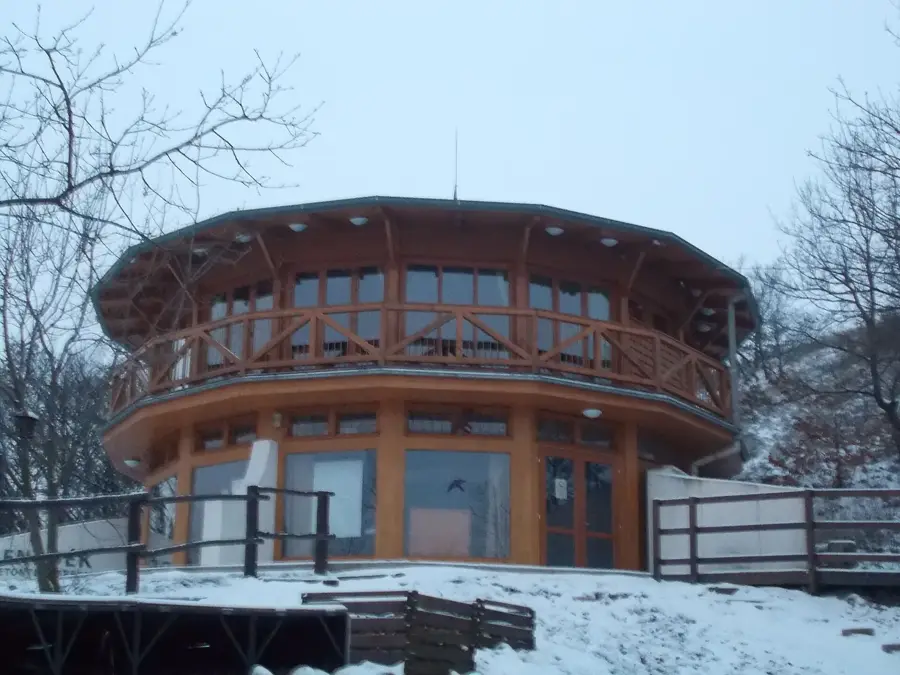
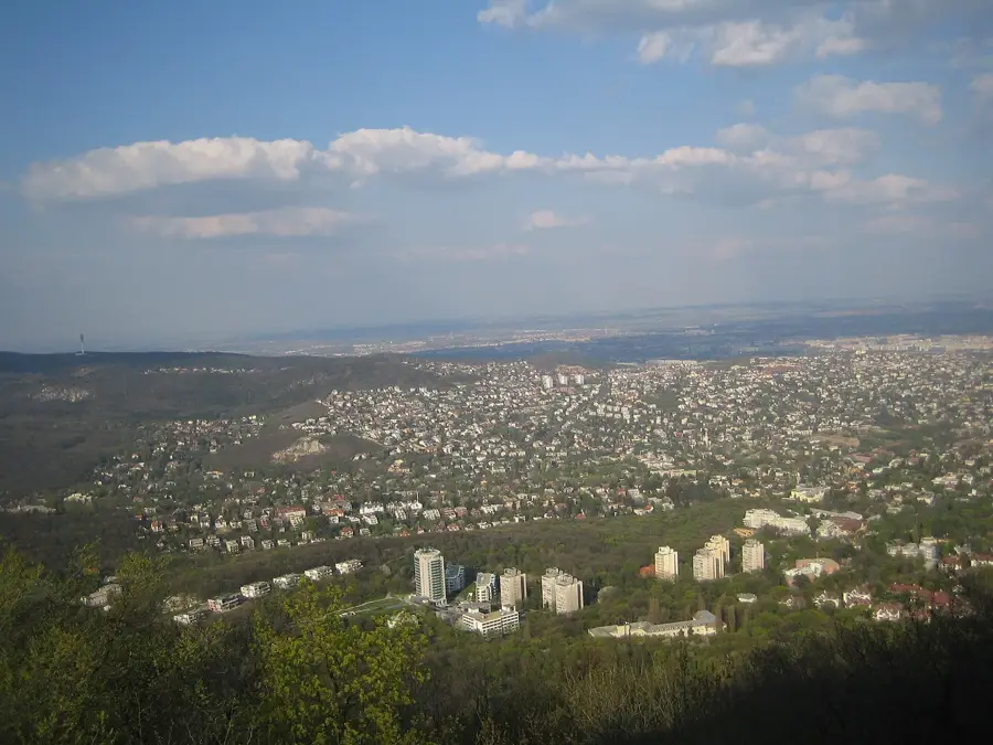
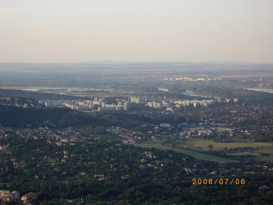
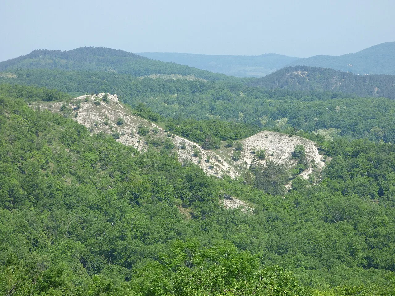
- The Anna-hegy (Anna Hill) gives a great lookout tower with panoramic views.
- Driving in the older parts of town can involve narrow and hilly streets.
🍽 Food
Look for restaurants offering traditional German-Hungarian fusion cuisine.
Enjoyed in modern bistros in the town center.
Check out the popular gelaterias near the main square.
🛍 Shopping · 🧘 Quiet spots
The outskirts of the town have huge shopping centers for everything you might need.
For organic and locally sourced Swabian delicacies.
A bit of a hike, but rewards with peace and a great view.
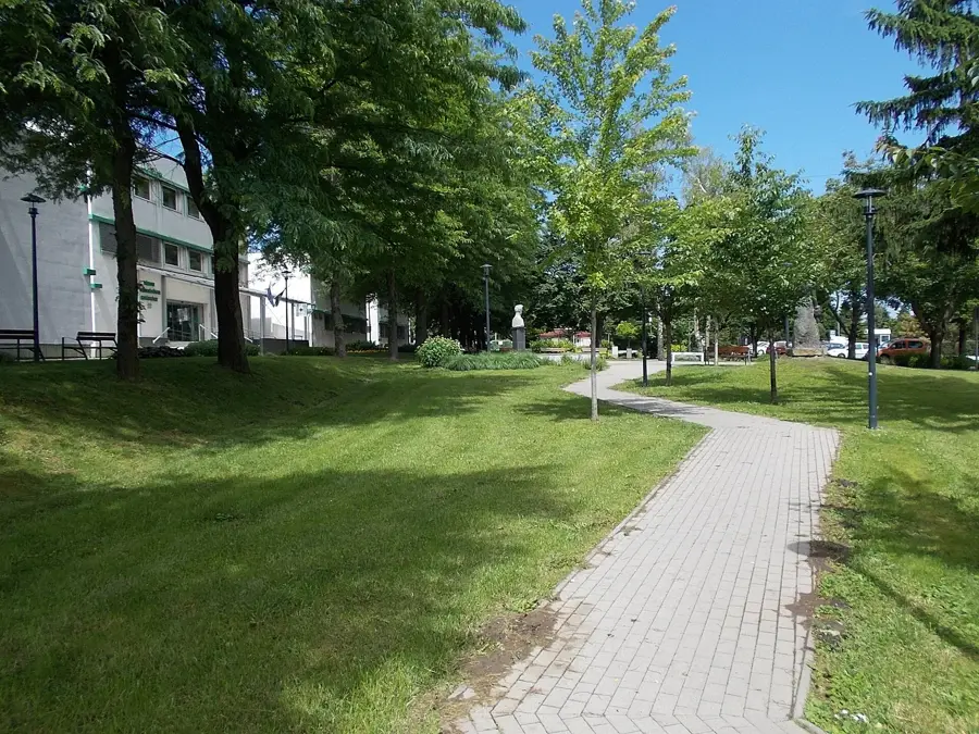
A nice, calm green area for nature walks.
Water temperature…
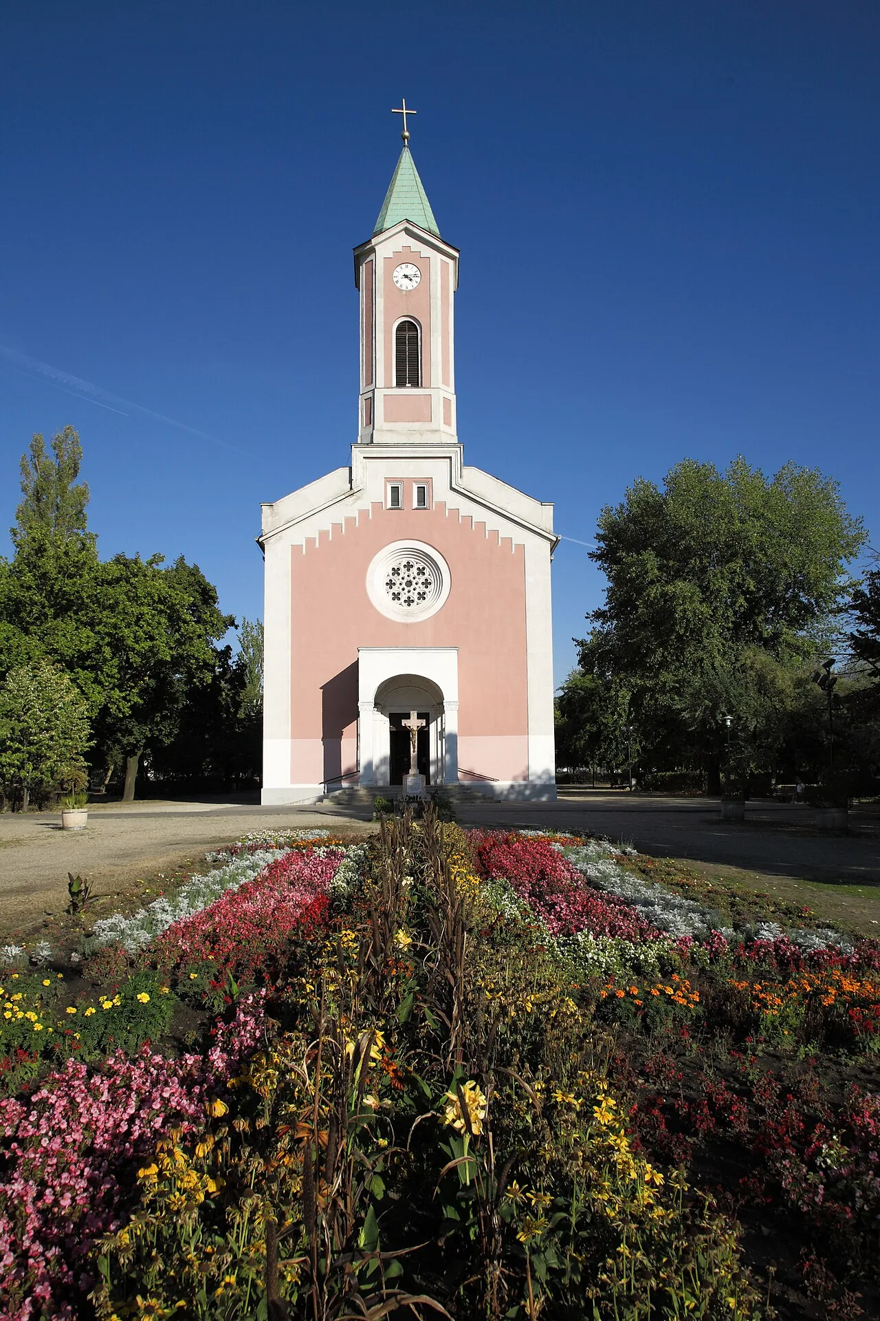
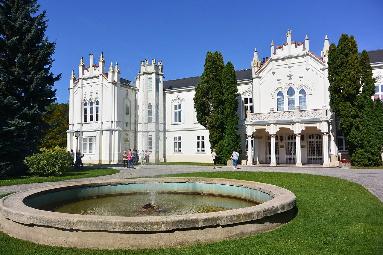
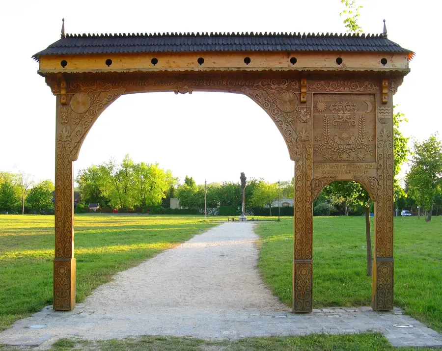
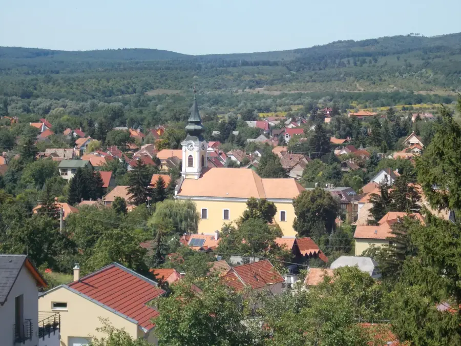
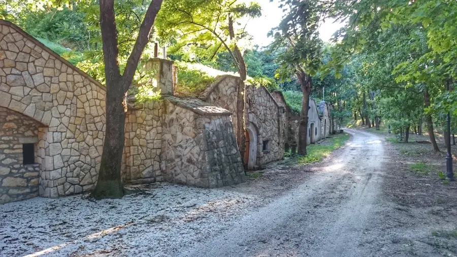
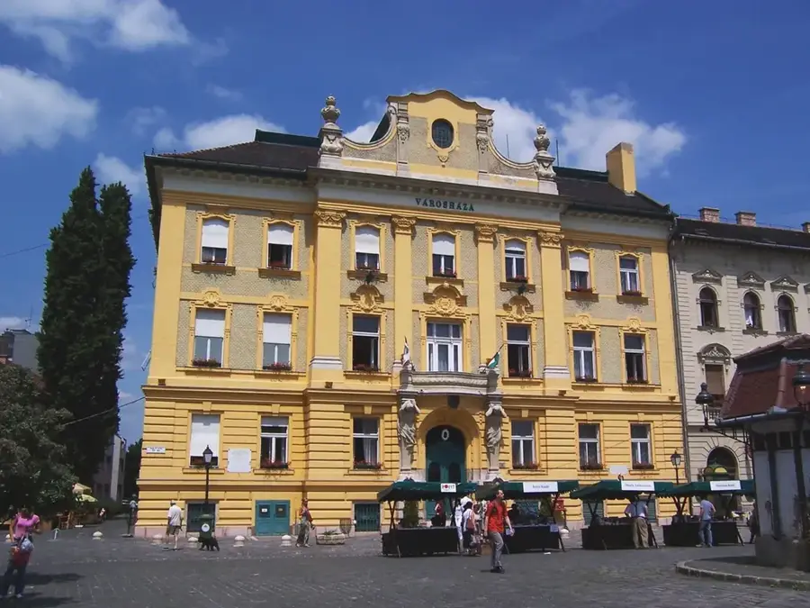
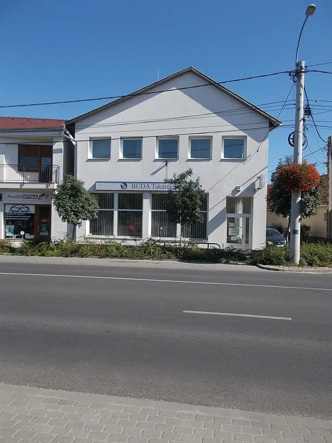
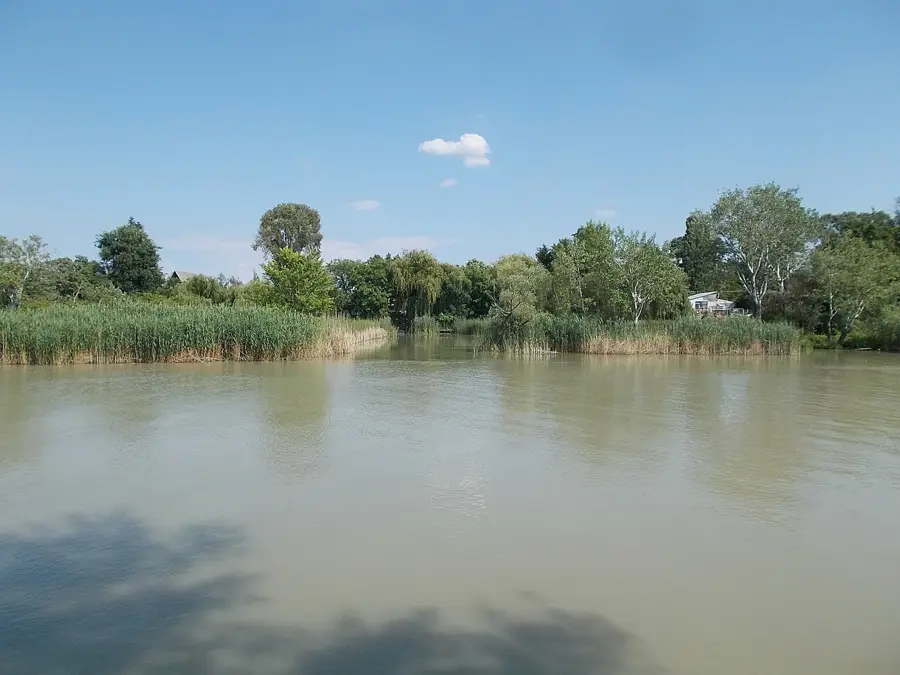
Törökbálint is a flourishing suburban town located on the western edge of the Budapest metropolitan area, tucked away at the southern foothills of the Buda Mountains. The town's name honors Bálint Török, a legendary 16th-century nobleman and military commander. Historically, the area was dominated by noble estates, evidenced today by the Majthényi Mansion and the Walla Castle, the latter built by a prominent cement manufacturer in the late 19th century. One of the town's most beloved recreational spots is Anna Hill, featuring a lookout tower that provides panoramic views of the surrounding hills and the capital city. Strategically positioned at the crossroads of the M0, M1, and M7 motorways, Törökbálint has evolved into one of Hungary's premier commercial and logistics hubs. Despite this industrial growth, the town remains famous for its extensive forests and clean air, earning it the reputation of being a green lung for the region. The community maintains strong ties to its Swabian (ethnic German) roots, which are preserved in the local Folk Museum and celebrated through annual cultural festivals that blend historical heritage with contemporary suburban life.
- Location: Hungary
- Top sights: Törökbálint Village Museum · Anna-hegy Lookout Tower · Reformed Church
- Nearby: Diósd (4 km)
- Population: ~14.948
Best time to visit & climate
The most pleasant time to visit is Jun–Aug.
| Jan | Feb | Mar | Apr | May | Jun | Jul | Aug | Sep | Oct | Nov | Dec | |
|---|---|---|---|---|---|---|---|---|---|---|---|---|
| Avg °C | -2 | 0 | 5 | 11 | 16 | 21 | 23 | 22 | 17 | 11 | 5 | 0 |
| Rain mm | 39 | 40 | 41 | 35 | 65 | 70 | 66 | 63 | 57 | 51 | 44 | 43 |
Geography
Facts
- Elevation of Anna Hill: 267 meters
- Year of elevation to town status: 2007
- Strategic motorways nearby: M0, M1, M7
- Estimated population: ~14,700 people
- Historical namesake: Bálint Török (1502-1551)
- Key cultural site: Local Village Museum
Explore nearby
Notable places around
Route planner — Car & Motorhome
Where do you start? We build the route here, with stops and country notes along the way.
© OpenStreetMap contributors · OpenRouteService
Sights in the town Törökbálint (4)
Frequently asked questions
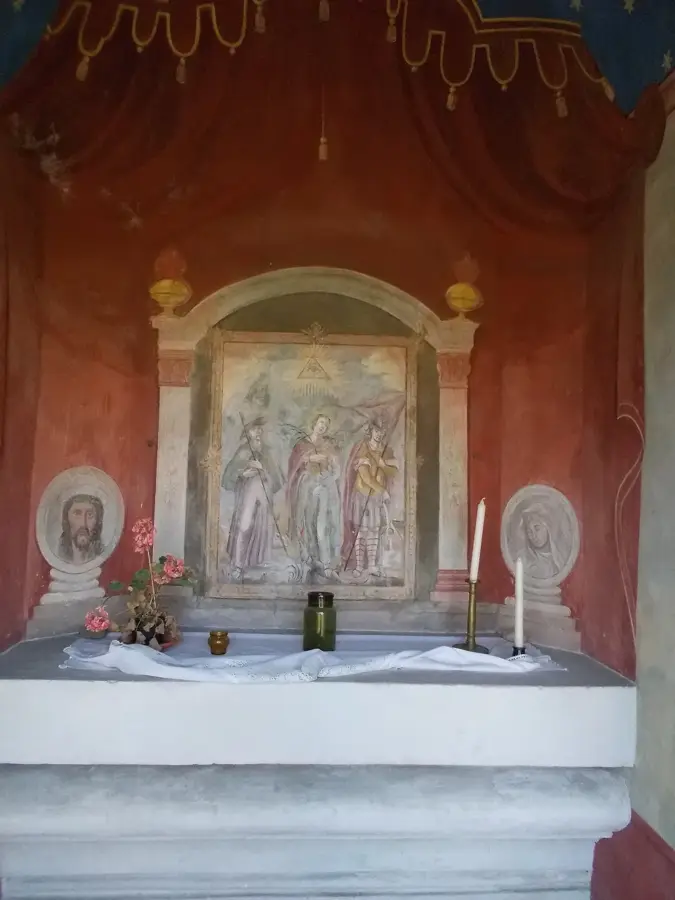
What is the Anna-hegy chapel?
Are there hiking trails in Törökbálint?
How is the transport to Budapest?
Are there shopping centers?
Are there cultural sights?
Törökbálint: where is it located?
Törökbálint: what is there to see?
Törökbálint: when is the best time to visit?
Törökbálint: why is it worth visiting?

Nearby cities

History & landmarks
Nature
More places