Plizio Visual Lab
Mount Tinka

Weather…
Water temperature…
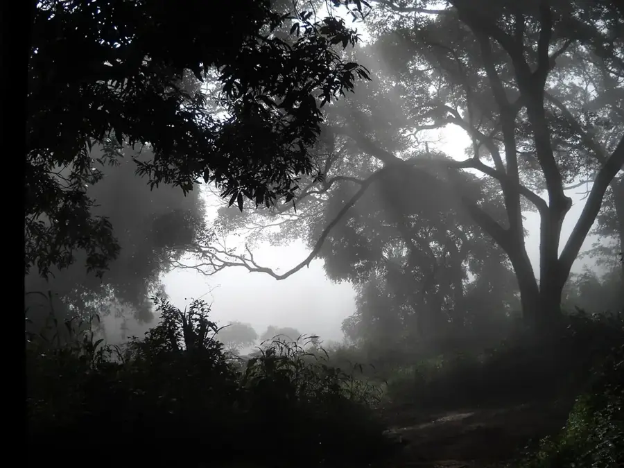
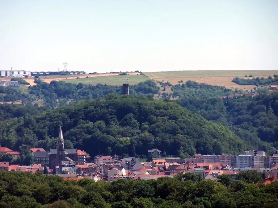
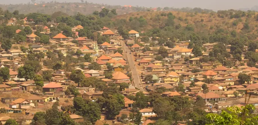
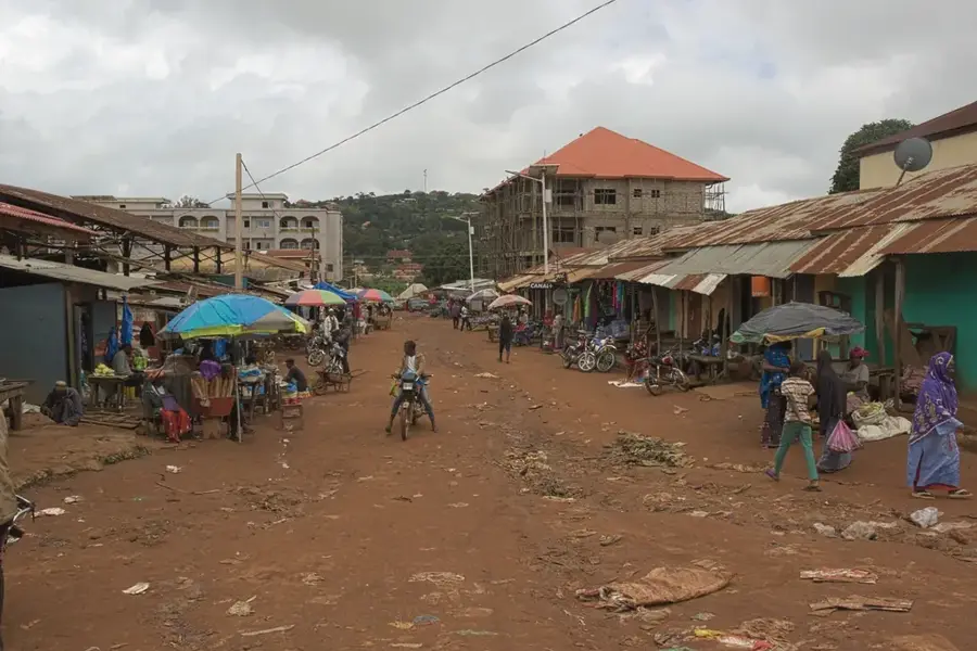
Mount Tinka (Mont Tinka) is an aesthetically striking elevation in the Dalaba Prefecture, renowned for its scenic beauty and its role in regional tourism. Geographically situated in the central Fouta Djallon, the mountain features gentler summit contours compared to the rugged canyons found elsewhere in the region. It is surrounded by dense pine forests planted during the colonial era, giving the landscape an almost European appearance. Historically, Mount Tinka was a favored retreat for French administrators, leading to the construction of small sanatoriums and villas in its vicinity. The climate at Mount Tinka remains mild and refreshing year-round, making it a premier destination for hikers. Economically, the local community benefits from eco-tourism as the mountain is well-served by an established network of trails. Ecologically, the blend of introduced pines and indigenous vegetation creates a unique habitat for birdlife and small mammals. A climb to the peak gives expansive views of the Dalaba valleys, reinforcing its status as a unique climatic haven in West Africa.
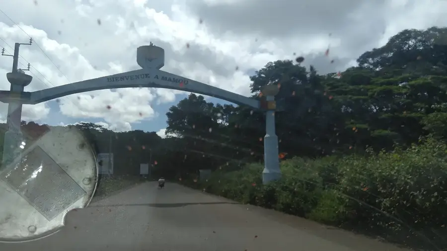
- Location: Guinea
- Top sights: Pont du dieu · Centre d'Exposition et de Vente Touristique · Vue sur Dalaba centre
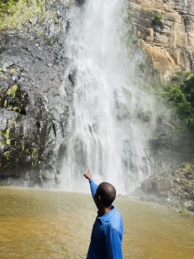
- Nearby: Ditinn Falls (15 km)
Best time to visit & climate
The most pleasant time to visit is Jan, Nov, Dec.
| Jan | Feb | Mar | Apr | May | Jun | Jul | Aug | Sep | Oct | Nov | Dec | |
|---|---|---|---|---|---|---|---|---|---|---|---|---|
| Avg °C | 24 | 27 | 29 | 29 | 27 | 25 | 23 | 22 | 23 | 23 | 23 | 23 |
| Rain mm | 3 | 4 | 4 | 34 | 149 | 289 | 490 | 586 | 371 | 133 | 26 | 1 |
📋 Practical info
Geography
Facts
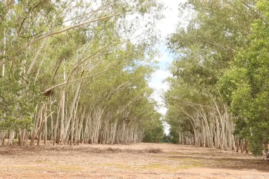
- Mount Tinka is famous for its non-native pine groves, a rarity in the tropics.
- The mountain features some of the lowest average temperatures in Guinea.
- It was historically designed as a high-altitude health station.
- The peak provides a direct view of the 'Case à Palabres' in Dalaba.
- The mountain acts as a natural air conditioner for the surrounding town.
- Tinka's slopes are home to a variety of migratory bird species.
Explore nearby
Notable places around
Route planner — Car & Motorhome
Where do you start? We build the route here, with stops and country notes along the way.
© OpenStreetMap contributors · OpenRouteService
Sights in the town Mount Tinka (3)
Sights nearby
Frequently asked questions
Is Mount Tinka a popular hike?
What time is best?
Do I need to prepare for the ascent?
Are there any dangers?
What can you see at the top?
Mount Tinka: where is it located?
Mount Tinka: what is there to see?
Mount Tinka: when is the best time to visit?
Mount Tinka: why is it worth visiting?

Nearby cities
Nature
More places